|
My guess is that at least 95 percent of the people who live in the Bay Area don't know
that Coyote Hills exists, nestled at the east end of the Dumbarton Bridge. The other
5 percent keep coming back. Coyote
Hills was my destination this beautiful, clear winter's day -- a nice treat after several
days of rain.
There's a $4 fee to park in the lot, which was nearly full. Jean and I parked but
she decided she was too sick to do the hike so I went off by myself for a couple hours.
She stayed parked next to the marsh land where she was entertained by ducks. I headed north
along the paved Bay View trail, which is open to bikes and continues around
a series of hills between the parking lot and the bay.
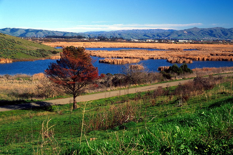
Bay View trail between green hills and marshes
I only stayed on the paved trail for a tenth of a mile before turning left and up the
dirt Nike trail. As I climbed, I got views of the marshland to the east. Off in the
distance the Diablo Range was covered with a sprinkling of snow above 3500 feet.
Directly below me, families enjoyed the paved Bay View trail. Above and ahead of me
lay grassy hillsides glowing green.
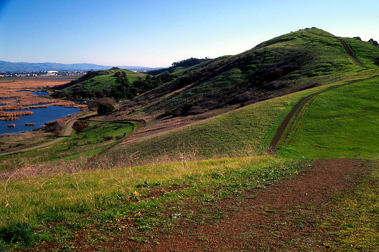
Trails over the green hills
After a quarter mile, I caught a glimpse of the bay in front of me before I turned right
and headed up the Red Hill Trail. The trail is very steep but also very short. As I
reached the top, I spotted one of many birds I would see while on the hike. It hovered
in the stiff wind before soaring away. At the top of the hill and on the way down I
had views of the San Francisco skyscrapers off in the distance. To my left the sun
screamed its reflection off the surface of the bay, just to the right of more glowing
green hills.
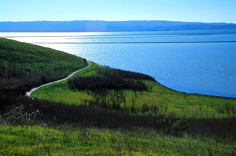
Green hills shining over the bay
I made the short descent and rejoined the Bay View trail, turning left back on the
pavement. Only a tenth of a mile later I stopped briefly at a wooden overlook. The
Pelican trail continues down to the marshland, between the salt evaporation ponds,
and beyond, but I wouldn't be going
that far this time. I was content to take pictures of birds in the air before
continuing along the Bay View trail, now heading south along the edge of the water.
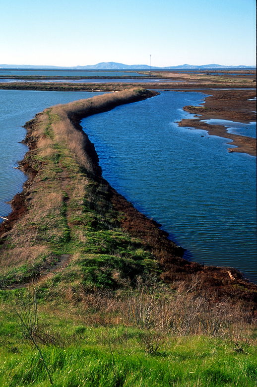
Trail leading out into the salt ponds
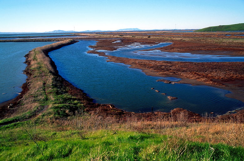
Salt ponds
For the next mile it was a paved trail with green hills on the left and salt ponds on
the right. Cyclists and people out for a stroll passed me in the opposite direction,
but it didn't feel as crowded as many paved multi-use trails are.
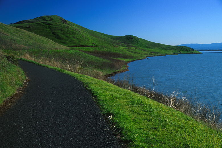
Bay View trail between green hills and bay
I turned left and headed up the dirt Soap Root Trail. A short distance up is one of
the best places to watch the sun set in the Bay Area. At least that's my guess, since
I've never actually watched the sun set from there yet. But I plan to return when the
clouds look right. (Sunsets are boring with a perfectly clear sky. As an aside, the most
amazing sunset I've ever witnessed happened while I was at Memorial Stadium watching
Cal lose a football game in the late 80's / early 90's. You could see people watching
the sunset from the west rim of the stadium. Unfortunately I didn't have a camera
back then.)
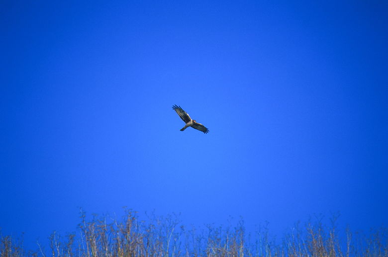
One of the many birds soaring over the park
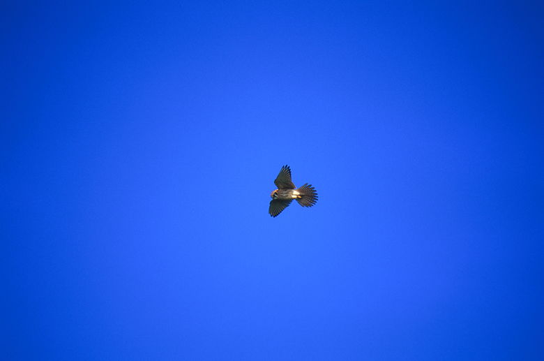
A bird with outstretched wings
I stopped at a saddle to briefly view the edge of the South Marsh below before turning
left and heading up another section of the Red Hill trail. Again, the trail was steep
but short. There's a picnic bench at the top of the hill, which is called Glider Hill,
for good reason -- there were 3 people at the top with a half dozen remote-controlled
gliders.
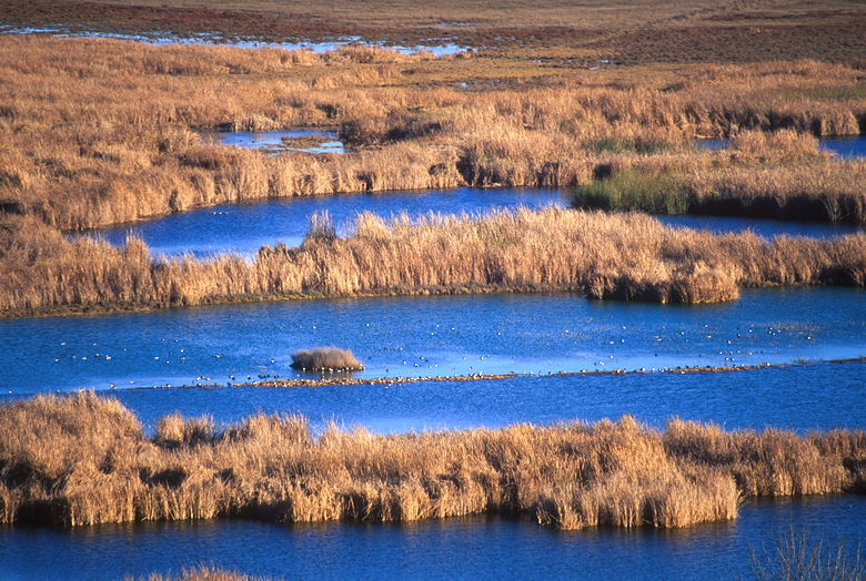
Birds in the South Marsh as seen from near Glider Hill
The next hill has red rock outcroppings on top. I actually ran into someone there who
seemed as much into photography as I am. He had a tripod and an SLR and was taking
pictures of the rocks glowing in the afternoon sun. I looked around but didn't find
anything that really interested me. To each his own. I've decided that I just take
pictures of scenes I find beautiful in some way. That's how it should be, really --
I shouldn't try to take something I don't find attractive and try to turn it into a
work of art. Anyway...
I reached the intersection with the Nike trail, which meant the end of my loop. I
turned right and descended down the Nike trail to the paved Bay View trail and back
to the car. I got Jean to join me for a short walk down the road and turned left
onto some wooden planks through the Main Marsh. A family was feeding bread crumbs
to the ducks, who were happy to entertain while getting fed. Jean and I went a bit
further before heading back because the sun was disappearing and the trails were very
wet.

Ducks in the Main Marsh
Coyote Hills is a great park for families, what with all the paved trails. It's
also a great place to watch birds, fly gliders, and watch the sun set. The only
caveat that the park does close relatively early. There's even a campsite.
I'll have to return to visit the other trails and perhaps explore the nearby
Alameda Creek Trail.
| 


