|
Jennie, Peggy, Randy, Reza, Weihaw, and I went to Mt. Diablo State
Park and hiked the Giant Loop which consists of Mitchell Canyon
Trail, Meridian Ridge Trail, and Donner Canyon Trail.
We parked at the end of Mitchell Canyon Road (parking $2). We
started off along Mitchell Canyon Trail which starts off very flat
and somewhat shaded. It's a big fire trail, as are all the trails we
went on (except for one short detour). Soon, we were climbing. It
started off innocently enough, but soon we were climbing, climbing,
and climbing...up 1800 feet over 2-3 miles. Shade became scarcer and
the sun beat down on us as the temperature rose into the 90's.
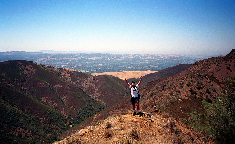
Reza, standing on the ridge we took that side trip on. Far in the
background, top left, is Mt. Tamalpais.
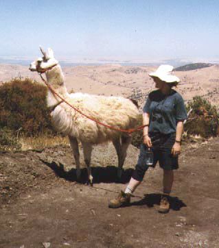
The llama we saw. Picture courtesy of Weihaw.
But as we neared the top at Deer Flat, we started to get better
views of the Carquinez Strait and the surrounding area. Finally we
found a picnic bench near the top and had lunch. Afterwards, we
started off along the Meridian Ridge Trail. After a little more
climbing we reached a great lookout point. We took a short detour
along a narrow ridge trail to get a better view of the trail we'd
gone up, the canyon we'd gone through, and Mt. Tamalpais in the
background, shrouded in fog. When we came back from our detour we
were in for a treat -- a llama! There were several hikers there, one
of which owned a llama and had somehow convinced it to hike all the
way up. Quite a treat!
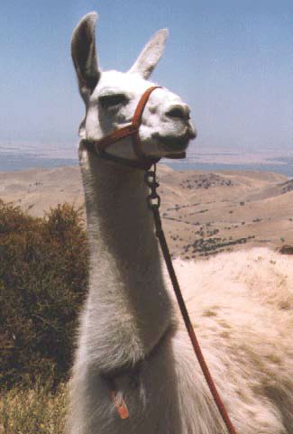
The llama we saw. Picture courtesy of Weihaw.
Then it was down, down, down in Donner Canyon. Along the way we
had great views of the town of Clayton far below with its tract
housing and golf course. The trail here is wide (a fire trail as
usual), but steep and dusty. It gets very dry in this area, and the
lack of moisture makes footing on the gravelly trail treacherous in
places. Be careful here!
We finally made it to a gate only to find out it was the wrong
one. We hadn't actually made any wrong turns -- it's just that we
expected that gate to be the end. We hiked the remaining 1.5 miles
over to our cars at the start of Mitchell Canyon Trail through
increasingly windy fields. It was a great workout on both the uphill
and downhill portions, and had some good views along the way. Not as
great as Mt. Diablo itself, but it's a nice day hike.
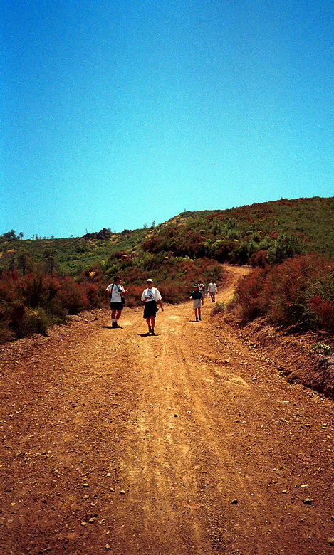
Hiking carefully back down the mountain.
Afterwards (after some ice cream and cold drinks), we drove up to
the top of Mt. Diablo itself (parking $5, but you can get $2 refunded
if you already paid at Mitchell Canyon Road). Here you'll get great
views of the entire Bay Area -- a 360 degree panorama only rivaled
(so they say) by Mt. Kilimanjaro. My only complaint is that I've
never actually been at the top on a truly clear day. With pollution
as bad as it is, I wonder if any such day exists anymore.
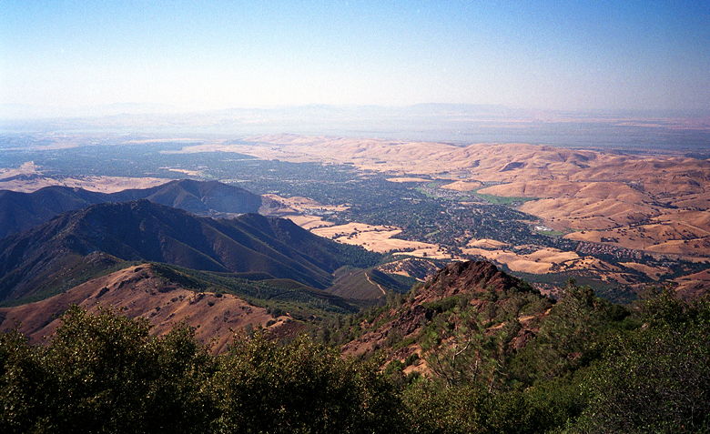
A view of the trail from atop Mt. Diablo.
| 

