|
It was hot and humid in the rain forest as Jean and I started off on the trail.
We passed a group of people doing a guided hike and shortly thereafter crossed
a small swinging bridge.
The trail started climbing immediately, a steady climb of about 800 feet, us sweating
in the heat and humidity the whole way. Jean had sunscreen streaming
down the sides of her face. The rain forest canopy kept all of that heat in, and didn't
let any breezes in, as well. To top it off, Jean was doing this hike in Tevas, as she'd left
her hiking shoes in the Cairns airport.
We headed up the hill, a very thick, green forest all around us. It was a bit boring,
actually, as it never changed. Just green, green, green all around us.
After perhaps an hour and a half, we made it to the top. A few people were already
at the top, but they left soon after we arrived, leaving it all for us. At the top of
Mount Kootaloo is a two-level wooden viewing area. Trees partially obstructed the view,
but we could see islands in the water below, and the Australian mainland to the right.
We saw smoke rising from the mainland; we assume it was a controlled burn of some kind.
The area had been in a prolonged dry period so perhaps this was a preventative measure.
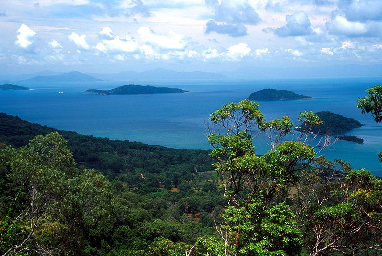
View from the lookout on top of Mount Kootaloo
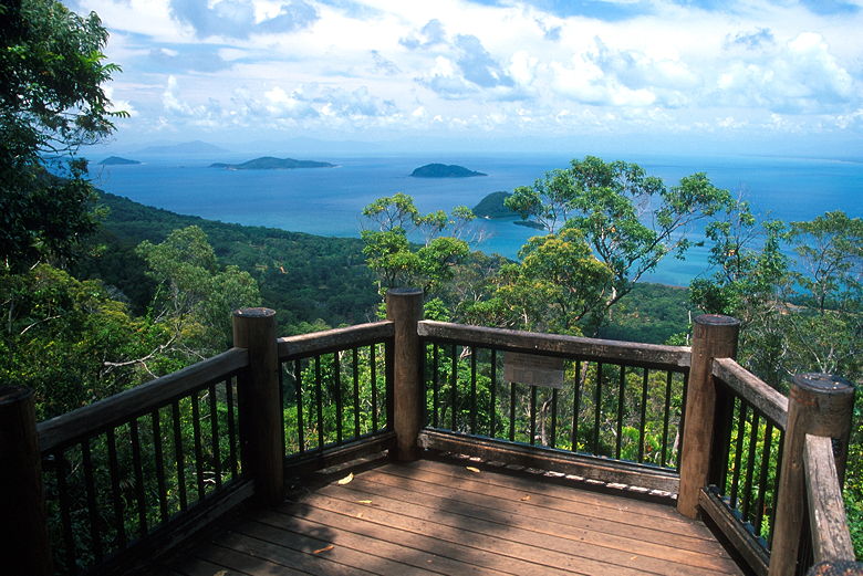
View from the lookout on top of Mount Kootaloo
The trail down the other side was closed, so we turned around and headed back the way we came.
Half way down, we turned left and continued on the island circuit trail. A kilometer or so
later we reached a trail intersection. Above us, to the left, a trail headed up toward
Mount Kootaloo. We were puzzled that it would be closed on one end but not the other.
Perhaps the trail is overgrown closer to the top and no one ever bothered to put a sign at
the bottom.
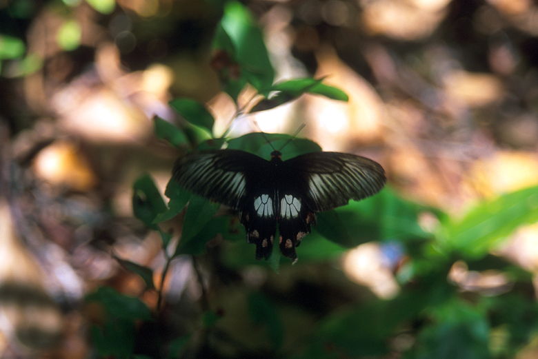
Butterfly next to the trail
Eventually the forest does thin out as it passes through Palm Valley. As it does so,
it's easier to hear all the birds everywhere. It was a nice change, hearing all the
life in the forest that we usually don't hear on our hikes in the States. That's what
hiking in a rain forest will do.
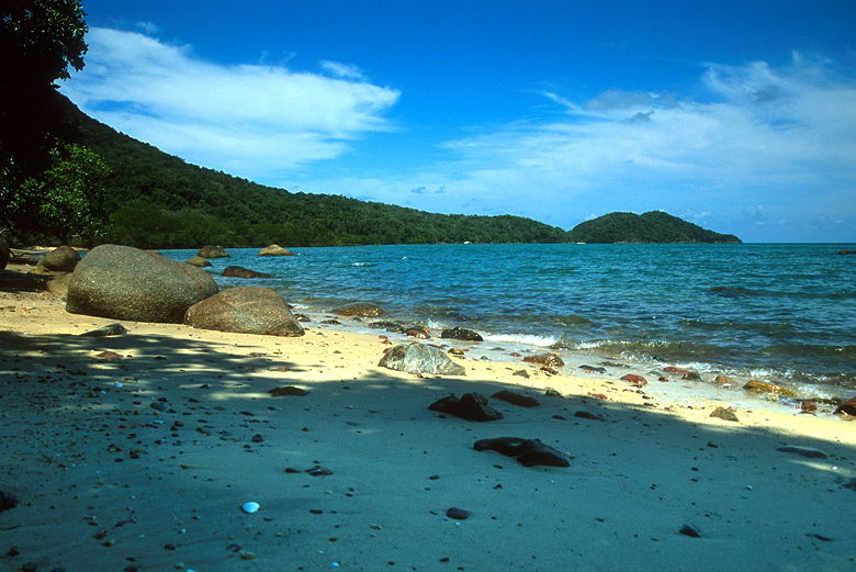
Coconut Beach
After Palm Valley we soon found ourselves at Coconut Beach. As luck would have it,
there were 3 other people there, but they left shortly after we arrived, leaving us
all alone on this wonderful beach. The beach sits in a large sweeping cove, sandy
beach and green forest stretching up and down the coast in either direction.
We thoroughly enjoyed the moment, sitting down and listening to the waves gently
massaging the beach. We sat there under cover of some large trees, enjoying the
beach for over an hour. During that time we took out the lunch that the resort
had packed for us. I was very impressed to be eating a salmon sandwich, fruit,
and cookies on our own private beach.
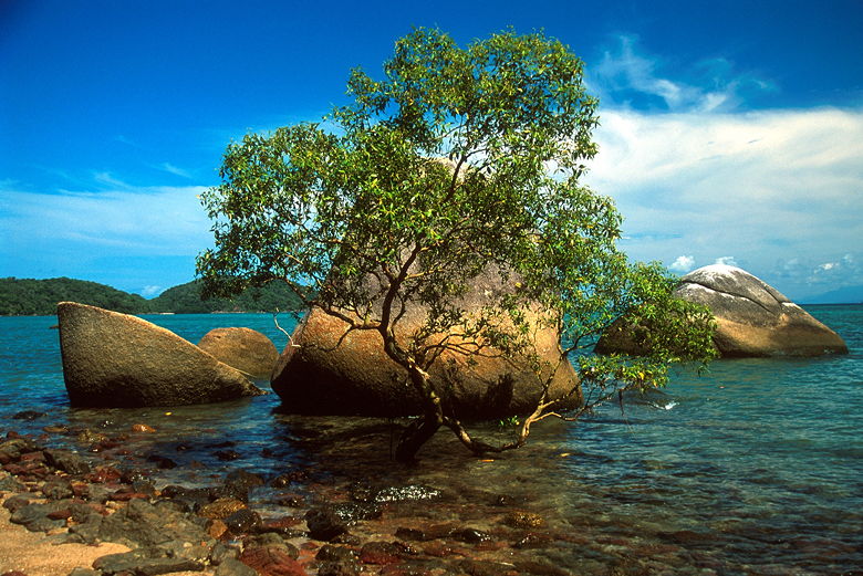
Tree and Three Rocks at Coconut Beach
Unlike Cape Tribulation, this beach had lots of sea shells. I thought about
taking a macro photograph, but found out I'd left my macro lens in the room.
Instead, I found a tree growing in the water in front of some rocks and
decided to photograph that, instead.
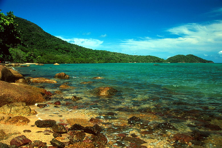
Coastline at Coconut Beach
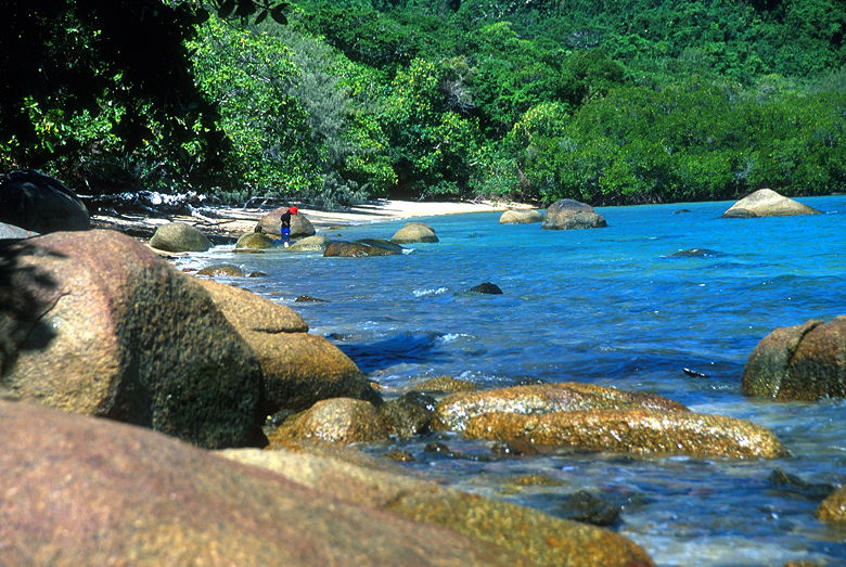
Jean exploring the waters
Eventually we pulled ourselves away from the beach and continued along the trail.
We passed the Bruce Arthur's artist colony, which is open to the public M-Th 10-1.
Since it was well past 1pm, we weren't able to see it. We continued over foot
bridges and past the Coonangelbah Farm. Dunk Island is not a large island. We
basically covered half the island on this hike. Soon enough we found
ourselves walking parallel to the air strip at the end of our hike. We walked past
big vats of gardening supplies, past the runway, past the golf course, and
back to our room, still enjoying the thought of our private Coconut Beach.
| 


