|
The trailhead for Granite Lake is also the trailhead for Grouse Lake, 6 miles in.
The trail starts off flat and very shortly crosses a creek. I got a bit sidetracked
here for a few steps as there are a myriad of use trails along the creek here. Just
stick toward the left and you'll be fine. If you go right you'll quickly hit a dead
end and realize you've gone the wrong way (like I did).
After the creek crossing, the trail continues through the typical
Sierra forest, beginning a relatively steep climb. Being my first
day up on this trip, I wasn't yet acclimatized and took my time on
the way up. I ran into a couple large groups of hikers coming the opposite
direction, but other than that it was pretty peaceful.
As the trail climbs, the views increase. To the east a range of mountains is visible
with the easily spotted peak named "The Nipple" rising up to 9340 feet. The trail continues
climbing before flattening out before the 1 mile mark, where you'll find a sign
marking the boundary of the Mokelumne Wilderness.
The trail is easily followed and there aren't even any sections over granite, which
are so common in the Sierra. There are a few scattered wildflowers, but nothing really
worth noting until later. After climbing again, the trail reaches a pond which I actually
found, in some ways, more likable than Granite Lake itself. It's a peaceful little place
sheltered all around by tall trees with lots of granite reflecting in the water.
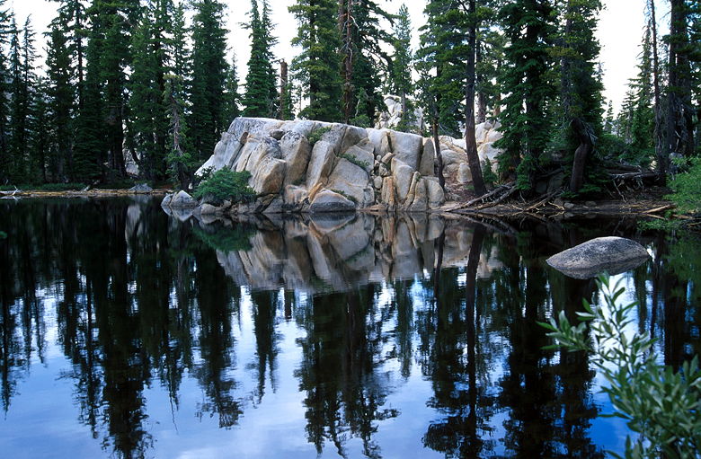
Pond
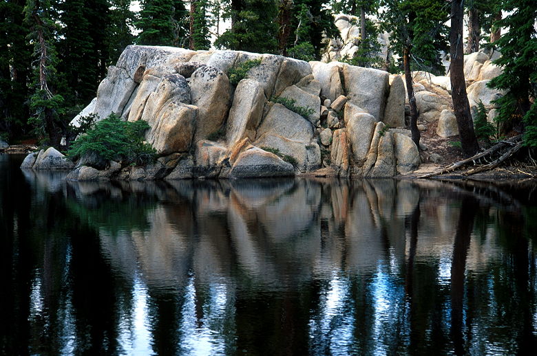
Rock in pond
But the pond is not your ultimate destination. After another short climb (sounds
like a lot of climbing, but the total climbing isn't that bad), the trail reaches the
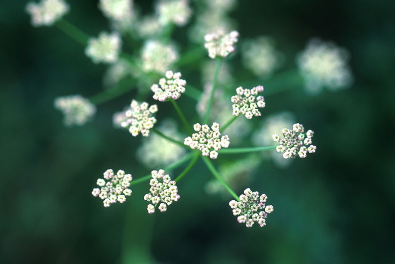
outlet stream for the lake, which is surrounded by lush green grasses and an abundance
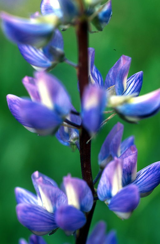
of bright colorful wildflowers. Indian paintbrush, lupine, and others dot the area with
blues, violets, reds, oranges, and yellows.
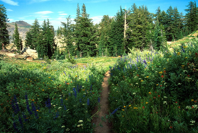
Wildflowers near Granite Lake outlet stream
The sun was playing hide and seek with the clouds, and I was hoping for
better light later, so I skipped taking photographs and continued a few
yards up the trail to
Granite Lake itself. Unlike the pond, the lake is set in an open granite
bowl with not much vegetation. There are a few scattered trees, bushes,
and wildflowers. There were a couple other people there, including a man
playing fetch with his dog in the water. One person had set up a camp site
on the far end of the lake. Looked like a peaceful place to camp.
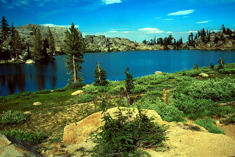
Granite Lake
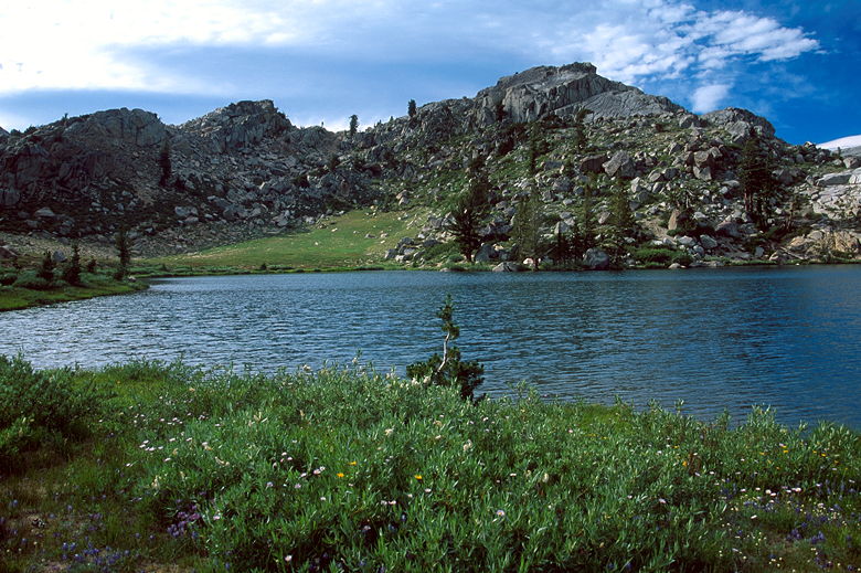
Granite Lake
The trail reaches the lake on the eastern side. The western lip of the
bowl quickly drops down and the trail continues on toward Grouse Lake.
I was hoping for some good views from the top of the western lip, but
they were mediocre.
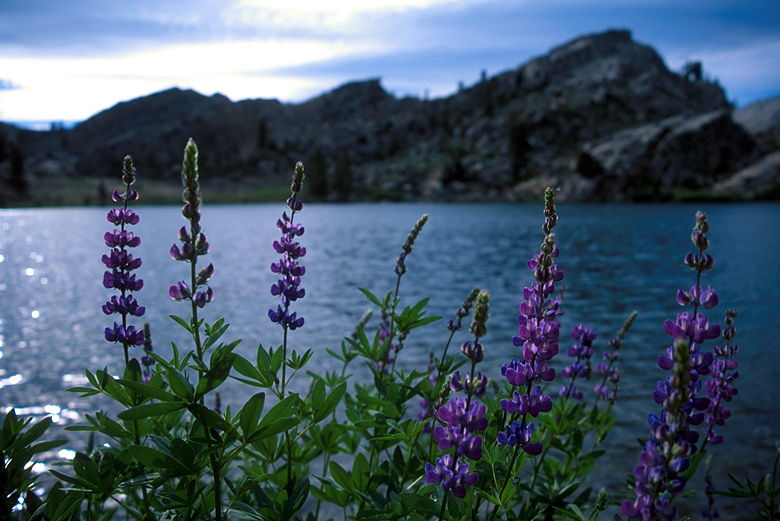
Lupine in front of Granite Lake
Coincidentally, while I was there taking photographs of the lake, our
campground neighbors showed up carrying fishing rods. I don't know if
they caught anything.
Unfortunately, I guessed wrong with the sun. The light didn't get any
better. It's quite hard taking hand-held macro photographs of wildflowers
in relatively low light and the wind's blowing. Still, I tried anyway,
taking several photographs of the wildflowers at the outlet stream.
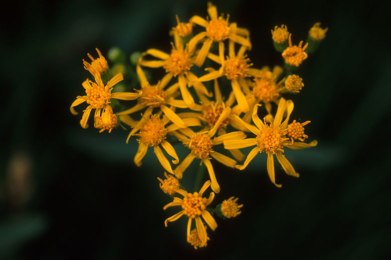
Wildflowers near outlet stream
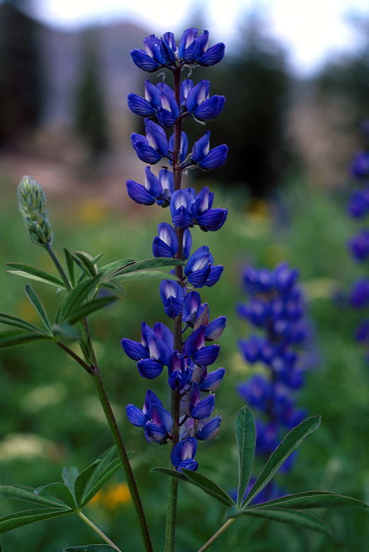
Wildflowers near outlet stream
Wildflowers near outlet stream
Wildflowers near outlet stream
The return trip was quick and uneventful, except for the brief moment
I spent near the first creek crossing. It was getting later in the day,
and the mosquitoes were out in full force. I walked away as fast as I
could so I could get to the safety of my car. Many of them followed me
all the way.
| 

