|
Jennie and I hiked in Yosemite National Park.
We parked, at about 9am, at the Tioga Pass parking lot, just inside
the park. Soon after we arrived, the lot was already fully. Mount
Dana loomed high above to the south. We'd been there the year
before; this time, we were heading north.
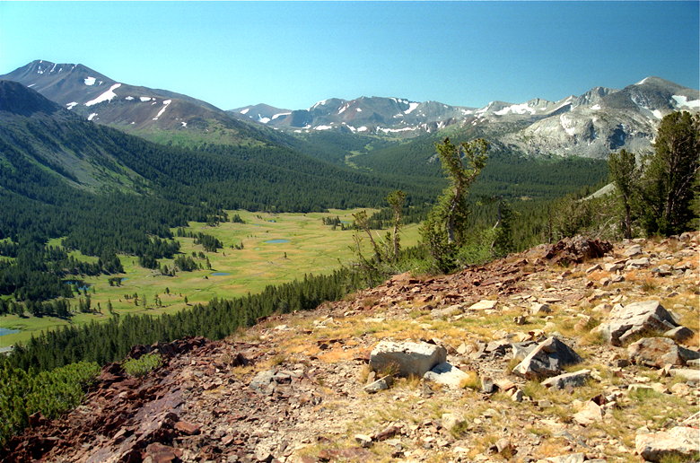
View on the climb up, looking backwards
The trail climbs steeply, immediately -- 560 feet up, providing
nice views of Mt. Dana. The switchbacking trail includes many
rock steps. At the top of the hill the trees clear out and there
are even better views. To the south there is still Mt. Dana. To
the north, downhill, lies Middle Gaylor Lake, backed by a huge
pyramidal hunk of rocks, rocks, and more rocks.
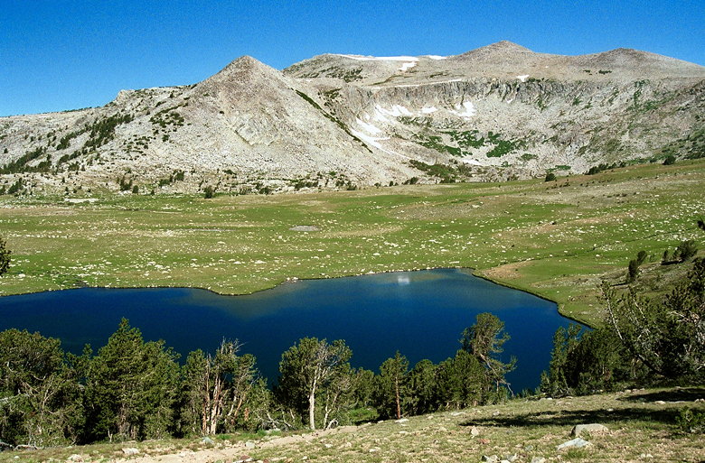
Middle Gaylor Lake
We descended down to the lake, where we saw fish jumping out of
the water. Sea gulls (yes, sea gulls) glided over the lake, looking
for lunch. Heading north around the lake, we saw the Cathedral
Range in the distance seem to rise out of the water.
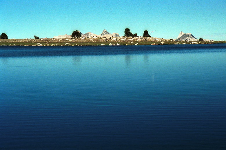
Cathedral Range "rising" out of Middle Gaylor Lake. That's a reflection
of a sea gull in the water.
The trail then climbs gently up to Upper Gaylor Lake. Here, large
patches of snow still cling to the hillsides in late July. The
trail is muddy in places, and covered with snow in others, but
it's mostly fine.
Upper and Middle Gaylor Lakes
We saw no one else as we went from Middle Gaylor Lake, up past
the upper lake, up the switchbacks to the High Sierra Mine. There
are numerous structures made of stacked rocks here. These are
the remains of a silver mine. Filled-in mine shafts still dot
the area. In places one could still fall 20-30 feet down.
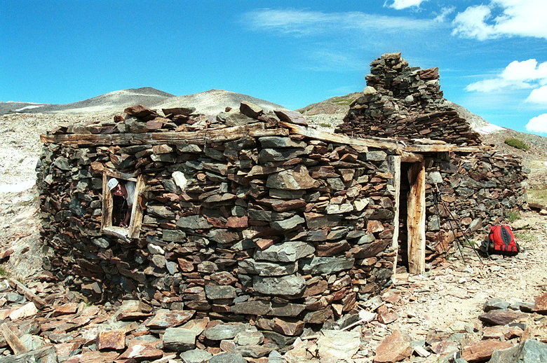
A rock cabin left over from the High Sierra Mine
From here, we were supposed to reach Tioga Hill and then go cross-country
west across a ridge and down to Granite Lakes. Unfortunately it
wasn't clear which point was Tioga Hill. We scrambled up to a
nearby hill and enjoyed the view down toward Lee Vining Canyon
and Tioga Lake. We walked around trying to find a trail, but to
no avail.
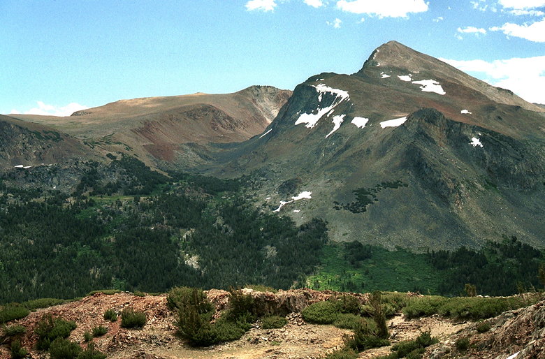
Glacier Canyon (left) and Mount Dana (right) from Tioga Hill
We eventually went over a ridge and down toward the Granite Lakes.
Along the way we saw some amazing displays of wildflowers. Indian
paintbrush was the most commonly found flower here. I regret not
finding a trail and having to walk through the flowers (trying
to step as carefully as I could, to avoid trampling them).
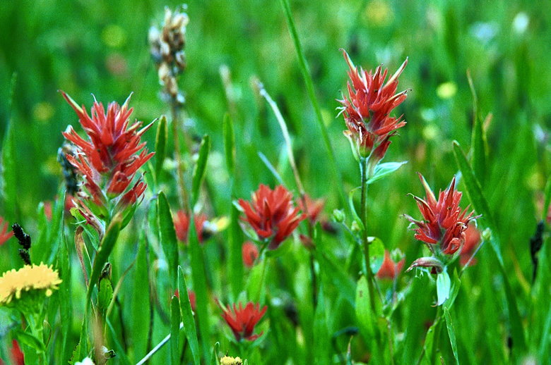
Indian Paintbrush
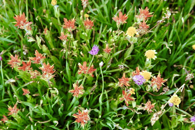
More wildflowers
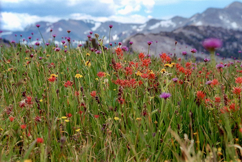
Even more wildflowers
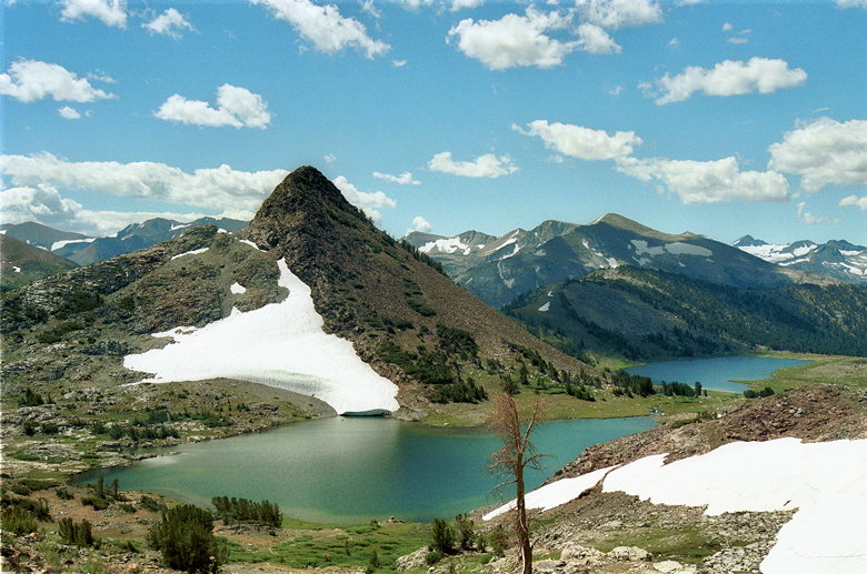
Upper Granite Lake sits in a large granite bowl, the mountains
towering steeply above it. A small stream connects it to Lower
Granite Lake. By this time it was early afternoon and clouds began
to threaten us. We stopped briefly for lunch, then continued west
before heading south toward Middle Gaylor Lake.
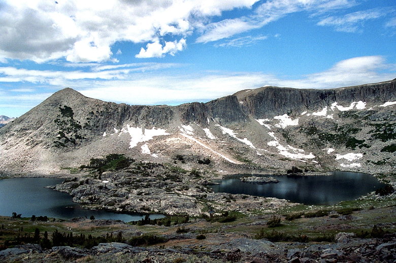
Granite Lakes
We crossed a bumpy meadow, probably made that way by squirrels.
We reached Middle Gaylor Lake and traced the shore back to the
trail we'd taken before. After passing it on the first try, we
backtracked and found the trail heading back up the hill, then
the short steep journey down to the parking lot.
Return to Mount Whitney trip report.
| 

