Hikes Rated 6 |
Hike Miles Vertical Time 
[Ventana Wilderness]
[El Corte de Madera Creek Open Space Preserve]
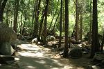
[Portola Redwoods State Park]
[Mount Diablo State Park]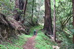
[Portola Redwoods State Park]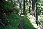
[Portola Redwoods State Park]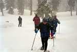
[Royal Gorge Cross-Country Ski Resort]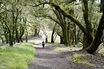
[Upper Stevens Creek County Park]
[Robert Louis Stevenson Park]
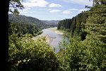
[Pescadero Creek County Park]
[Rancho San Antonio Open Space Preserve]
[Big Basin State Park]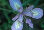
[Point Reyes National Sea Shore]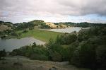
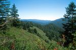
[Mount Tamalpais State Park]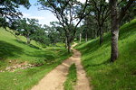
[Round Valley Regional Preserve]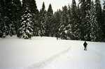
[Royal Gorge Cross-Country Ski Resort]
[La Honda Creek Open Space Preserve]
[Sugarloaf Ridge State Park]
[Saratoga Gap Open Space Preserve]
[Windy Hill Open Space Preserve]
[Russian Ridge Open Space Preserve]
[Henry Cowell Redwoods State Park]
[Forest of Nisene Marks State Park]
[Ed R. Levin County Park, Santa Clara County]
[Royal Gorge Cross-Country Ski Resort]
[Sierra Azul Open Space Preserve]
[Skyline Wilderness Park]
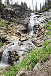
[Lassen Volcanic National Park]
[Trinity Alps Wilderness]
[Las Trampas Regional Wilderness]
[Mission Peak Regional Park]
[Henry Coe State Park]
[Pleasanton Ridge Regional Park]
[Windy Hill Open Space Preserve]
[Huddart County Park / Phleger Estate]
[Windy Hill Open Space Preserve]
[Purisima Creek Redwoods Open Space Preserve]
[Hayward Regional Shoreline]
[Redwood Regional Park]
[San Francisco State Fish and Game Refuge]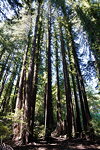
[Wunderlich County Park]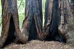
[Portola Redwoods State Park]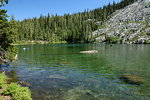
[Trinity Alps Wilderness]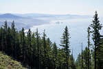
[Humbug Mountain State Park
]
[Golden Gate National Recreation Area]
[Crystal Cove State Park]
[Yellowstone National Park]
[Sunol Regional Wilderness]
[Long Ridge Open Space Preserve]
[Monte Bello Open Space Preserve]
[Almaden Quicksilver County Park]
[Golden Gate National Recreation Area]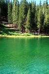
[Carson-Iceberg Wilderness]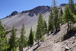
[Lassen Volcanic National Park
]
[Memorial County Park]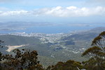
[Mount Wellington, Tasmania, Australia]
[Sanborn Skyline Park]
[Golden Gate National Recreation Area]
[Flinders Chase National Park, Kangaroo Island, Australia]
[Grand Canyon National Park]
[Uvas Canyon County Park]
[Ansel Adams Wilderness]
[John Muir Wilderness]
[Laurelwood Park
]
[Pulgas Ridge Open Space Preserve]
[Ecola State Park]
[Desolation Wilderness]
[Los Trancos Open Space Preserve]
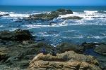
[Ano Nuevo State Reserve]
[Point Reyes National Seashore
]
[Ross Lake National Recreation Area]
[Monte Bello Open Space Preserve]
[Eldorado National Forest]
[Grand Canyon National Park]
[Grand Canyon National Park]
[Eldorado National Forest]
[Sequoia National Park
]
[Stanislaus National Forest]
[Wilder Ranch State Park]
[Sequoia National Forest]
[Garin/Dry Creek Pioneer Regional Park
]
[Death Valley National Park
]
[San Mateo County
]
[Del Valle Regional Park
]
[Crater Lake National Park]
[Calaveras Big Trees State Park]
[El Corte de Madera Creek Open Space Preserve]
[Capitol Reef National Park
]
[Anthony Chabot Regional Park
]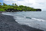
[Waianapanapa State Park]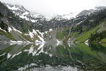
[Okanogan National Forest]
[Rancho de San Juan]
[Yosemite National Park
]
[Flinders Chase National Park, Kangaroo Island, Australia]
[Waianapanapa State Park]
[Williamette National Forest, Oregon]
[Sierra National Forest]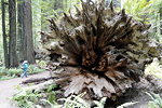
[Humboldt Redwoods State Park
]
[Sierra National Forest]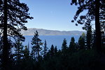
[Lake Tahoe]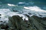
[Gualala Point Regional Park]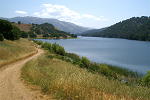
[Del Valle Regional Park
]
[Humboldt Redwoods State Park
]
[Bean Hollow State Park]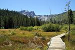
[Tahoe National Forest]
[Eldorado National Forest]
[D.L. Bliss State Park]
[Jasper National Park
]
[Crater Lake National Park]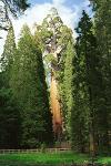
[Kings Canyon National Park]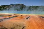
[Yellowstone National Park]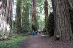
[Humboldt Redwoods State Park
]
[Yosemite National Park
]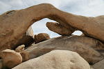
[Joshua Tree National Park]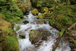
[Ross Lake National Recreation Area]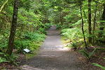
[Ross Lake National Recreation Area]


|

|