|
Jean, Jennie, Reza, Weihaw and I hiked in Yosemite National Park.
We parked at the Mono Pass trailhead parking area. The lot was
completely full when we started the hike at 9:20am.
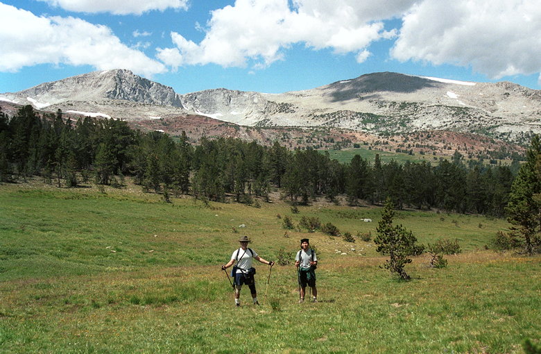
Reza and Weihaw in front of the Kuna Crest
The trail starts out relatively flat, rolling through the forest.
We had brief views of Mt. Dana and Gibbs to the left, and then
later a view of Mammoth Peak to the right. Soon we had views of
most of the Kuna Crest -- an impressive range of mountains with
lakes and meadows between it and us.
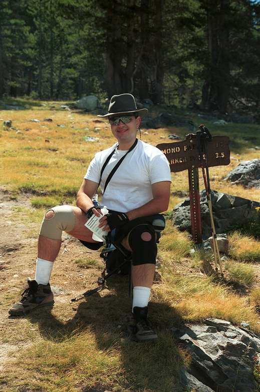
Reza in his comfy chair
We crossed Parker Pass Creek several times, while passing Indian
Paintbrush, lupine, and a very occasional columbine. Then the
climbing started. We climbed up from about 9850 to Mono Pass at
10604 feet. The views here aren't much better than the impressive
views along the way. Supposedly better views could be had by going
further along the way down toward Bloody Canyon. We, however,
were heading up to Mount Lewis, so we didn't bother.
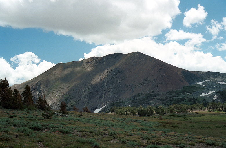
What we thought was Mount Lewis
There really isn't a trail up to Mount Lewis. We had to decide
on a route. Either go down a bit and head to the right near Sardine
Lake, or go south and around and up. The map seemed to show this
latter route would be longer, but less steep. We chose it.
We made our way on a side trail down to some old cabins, and then
went past them, scrambling up the hills where there was no trail.
At nearly 11,000 feet, Jean decided she wouldn't join us for the
climb to the top, and sat down to rest and wait for us. Weihaw
made the mistake of taking out his wheat thins and cheez-its,
which we all nibbled on. After lunch, we (minus Jean) continued
uphill.
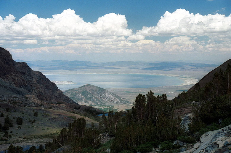
View of Mono Lake from just about Mono Pass
We scrambled over some gray rocks and up to a saddle. We then
traverse south and up along the rocks, figuring when we rounded
the corner enough we'd find a less steep way up. The rocks were
frustratingly hard to walk on. Not too small, not too large --
just the right size to make walking on them difficult. Still,
we trudged on.
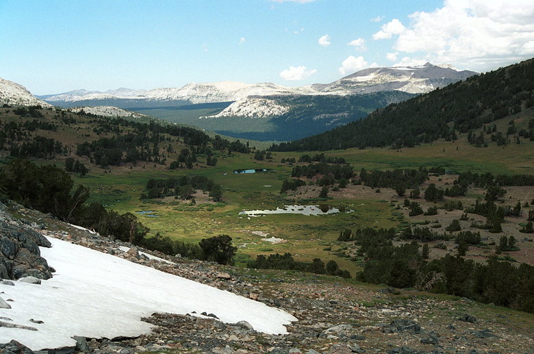
View of the valley we hiked through to Mono Pass
My map reading skills need work. We were going on the assumption
that the tall peak in front of us was Mount Lewis. It was a jumble
of rocks all the way to the top. Eventually Weihaw looked at his
map and pointed out my mistake. This wasn't the peak at all --
it was way off, in front of us, across a gully. This was good
and bad. Bad in that it was further away. Good in that the gully
was a much easier way up, and the peak itself didn't look as rocky
as what we were now traversing.
After some groaning, we walked toward the gully, trying not to
gain or lose any elevation in the process. Then it was a simple
matter of heading up the gully, making our own switchbacks as
necessary. No trees, no shrubs, just dirt and rock.
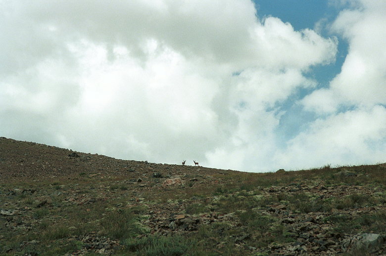
Deer on the summit ridge
We spread out and each took our own route. Along the way we encountered
a couple of deer, standing on the ridge silhouetted by the sky.
The peak we had been climbing was just the tip of a ridge which
arched around east and south, culminating in the real Mt. Lewis.
It should be noted that while we were suffering through our climb,
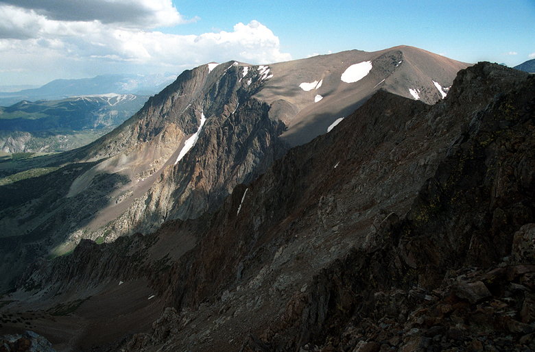
we did enjoy the tremendous scenery. The view of the Kuna Crest
bordering a sublime green valley, with snow banks on several mountains,
without any people or structures in sight for miles, was picture-perfect
(and trust me, I took a lot of pictures).
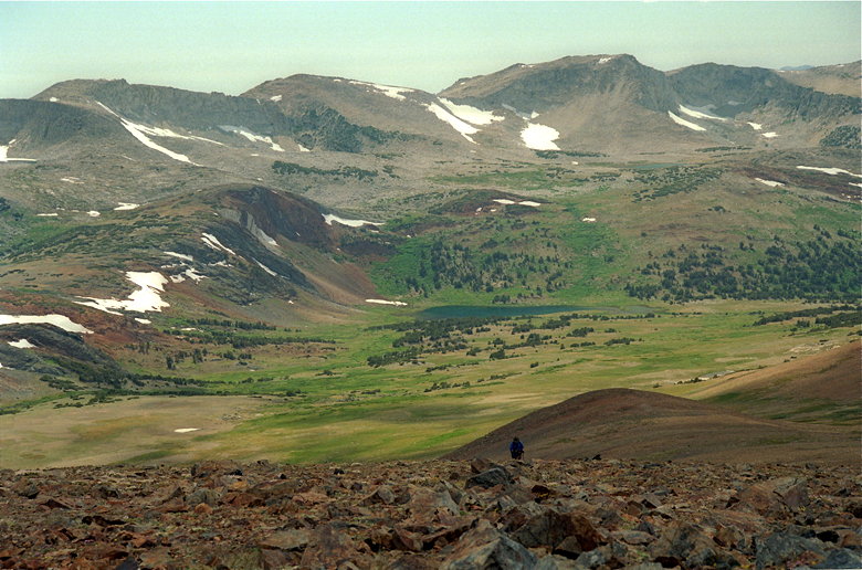
Reza making the final push to the top
I made it to the summit at 3pm. There's a summit marker which
says 12,500 feet (it's actually 12,296). There's also a registry
tucked away in a tin can. The views are astounding. All of Mono
Lake to the northeast is visible. Mammoth Mountain ski resort
lies to the southeast, its ski runs clearly visible. There's a
sheer cliff on the eastern side of the mountain. And of course
there are views of Lower Sardine Lake far below, and Mounts Dana
and Gibbs just across the way to the north.
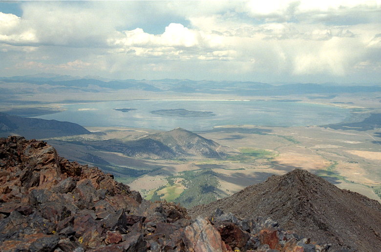
Mono Lake from the summit
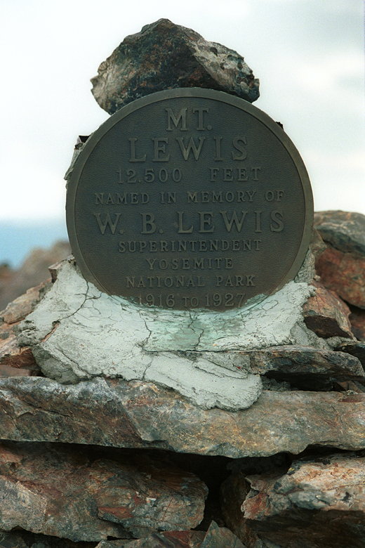
Summit marker (no, it's not 12,500 -- should be 12,296)
Jennie summited at 3:10pm, Weihaw at 3:20pm, and Reza at 3:25pm.
We enjoyed the views, ate, and then started down around 4pm. We
contacted Jean over the radio to tell her we'd be later than we'd
first expected. The clouds were starting to threaten us, and the
wind picked up. I put on my jacket, as my fleece was no longer
enough.
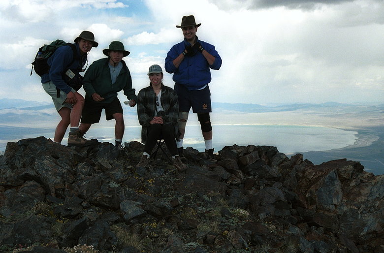
The summit group
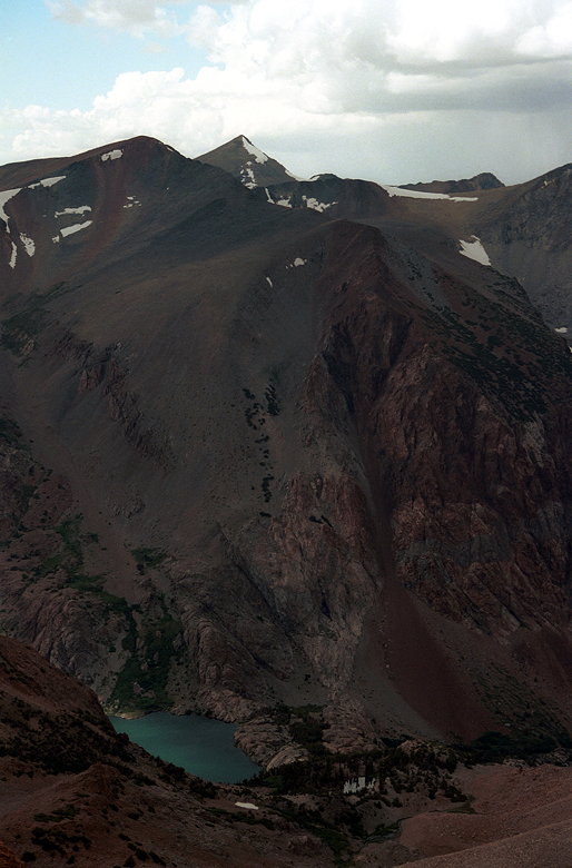
Sardine Lake, Mount Gibbs (far left), and Mount Dana (center,
back)
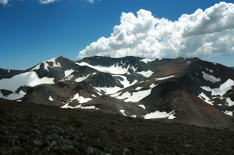
More views from the summit
The steep eastern side. That's Mammoth Mountain on the far left,
background (with the ski runs).
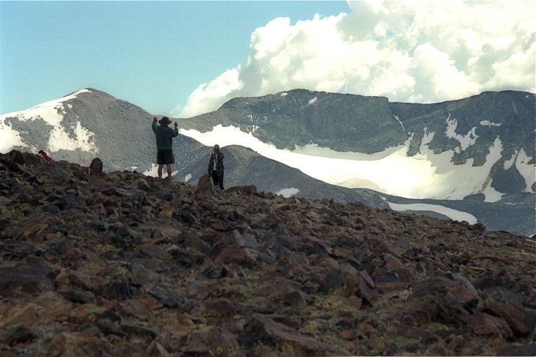
Weihaw and Jennie getting ready to descend
The downhill was much easier because we didn't have to descend
the rocks we'd ascended earlier. We made our way quickly down
the gully, then veered over to the right. We had the constant
option of going right to shorten the route, or down to lengthen
the route but make it easier (less rocks). In the end we chose
a compromise and made our way down to the old cabins, where Jean
was waiting for us. It was a little after 5pm by this time.
We then went back onto the main trail. Jean, fresh from her rest,
lead the way. She gleefully used her new trekking poles as we
headed downhill. We made the brief mistake of stopping for a break.
As soon as we stopped, however, the mosquitoes locked in on us
and went into attack mode. We fought back with DEET and quickly
continued along our merry way, making sure not to stop again.
We got back to our cars just before 7:30pm, just in time to go
back to camp and start cooking before it got dark.
Return to Mount Whitney trip report.
| 


