|
If you want to go: Take Highway 101 south toward Morgan Hill.
Exit East Dunne Ave. Follow the road east up into the mountains. The
road dead-ends at the park, 13 miles from the freeway (this road is
very narrow and winding, and will take about 30 minutes to drive).
Alden, Ben, Cammy, Jennie, Kane, Lan, Reza, Sam and I did the Poverty
Flat loop in Henry W. Coe State Park.
We met at Coe Headquarters under a cloudless sky. A large group of
hikers started off on the trail while we were still getting ready.
It's also a popular place for mountain bikers. The rangers at the
visitor center were nice enough to lend out a backpack to Sam, who
couldn't find his.
We finally got started at 11:30am, heading north on the Monument
Trail. Coe Headquarters rests at 2640 feet elevation, and we
immediately started climbing toward 3000 feet. This first part of the
hike was mostly unshaded, among golden hills. After just six tenths
of a mile, we turned left onto Hobbs Road (formerly Northern Heights
Road). This is a fire trail leading up toward Frog Lake. While open
to mountain bikes, we hardly saw any bikers. We perhaps saw just two
sets of mountain bikers the entire hike.
After going up and down, we came to Frog Lake, 1.6 miles from
headquarters. The lake isn't so much a lake as it is a pond. There
were 3 or 4 people there, fishing. We carefully avoided being hit by
a fisherman casting his line, and continued northwest toward the
Middle Ridge Trail.
1.9 miles into the hike, we reached the intersection with Middle
Ridge, a narrow single-track trail. Many different kinds of trees
provided shade for us here. We soon realized that it would be well
after 2pm before we reached Poverty Flat, so we stopped for lunch at
some shaded logs. Ben, Cammy, and Lan walked to a log in from the
trail, but in doing so, were attacked by dozens of burrs which
they're probably still picking out of their socks.

Reza, Jennie, and Sam on the Middle Ridge Trail
We thought we'd be descending for quite some time, but the trail
instead headed up right after lunch. Then down for a bit, and up yet
again. It was around the last false summit that we started noticing
the magnificent manzanita trees. They were everywhere, their
distinctive smooth outer bark making them look like, as Jennie would
say, chocolate-covered trees.
Finally, we started our decisive descent. Portions of the trail
were very steep, indeed, and we had to proceed with caution, making
careful to stay out of Cammy's way in case she fell. =) Here, the
forest was much denser, as well. There wasn't a lot of fall foliage,
but there were some colors -- a few beautiful yellows mostly.
After almost 4 miles on the Middle Ridge Trail, we reached the
Coyote Creek. After concentrating for mile after mile of descent
among forest, it was a beautiful sight. A clearing held a gentle
creek set at the base of a hill, several trees with bright yellow
leaves in the background. We put down our packs and walked along the
rocks in the creek, checking out the tiny fish. The sense of
isolation, of distance between us and the rest of civilization, was
nice (at least for me). In addition to the few mountain bikers, we
saw the 3 or 4 fishermen, and maybe 3 hikers coming the opposite
direction, both near headquarters, before we got back closer to
headquarters.
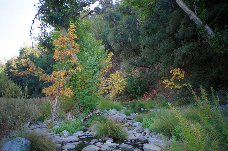
Fall colors along Coyote Creek
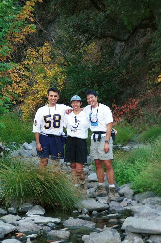
Reza, Jennie, and me at Coyote Creek
After a satisfactorily long break, we continued along the trail. We
passed a campsite near the creek, then crossed it and came to the
Poverty Flat Road (formerly known as the Pacheco Route). We could
either head west back to headquarters, or first head east toward
Poverty Flat.
We didn't know what lay in store for us at Poverty Flat, but it
was only three tenths of a mile away, and we'd come this far, so we
decided to go there. A short while later we came to the creek again.
This time, Alden spotted a tiny frog in it. We tried to get some
close-ups as best we could before continuing on toward Poverty Flat.
Ben and Cammy walked right by it before I called them back to the
prominent sign saying "Poverty Flat", seeming to announce only the
lone outhouse behind it, and not much else.
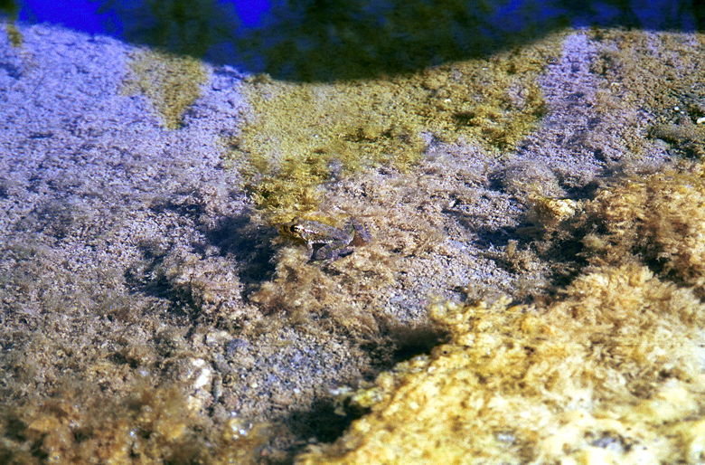
A tiny frog spotted near Poverty Flat
Heading up the steep trail
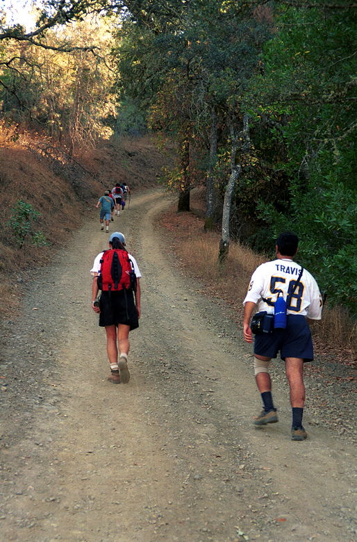
After nearly being mutinied by the rest of the group, I led us back
along the Poverty Flat Road to begin our 3.5 mile ascent back to
headquarters. The road is a fire trail, and it immediately climbs --
steeply. Portions of the trail are at least a 20% grade. Most of
these sections are short, however, and most of them are near the
bottom. We also had some pleasant surprises along the trail. We
spotted several wild turkeys slowly making their away across a field.
We couldn't get a clear view, as the brush mostly concealed them. But
it was still a nice treat. Shortly after that, we spotted a few deer.
We also saw a coyote on the drive back -- this is probably the most
wildlife I've ever seen on a hike so far -- fish, frogs, turkey,
deer, coyote, a few lizards, but no tarantulas!
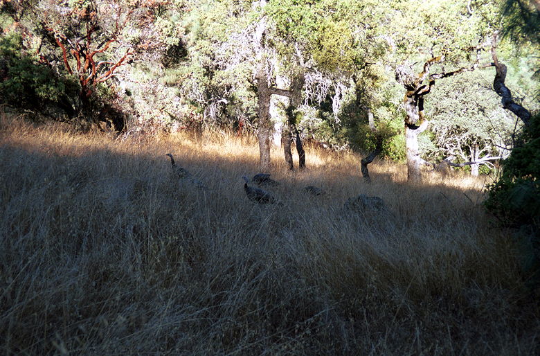
Wild turkeys lurking in the brush
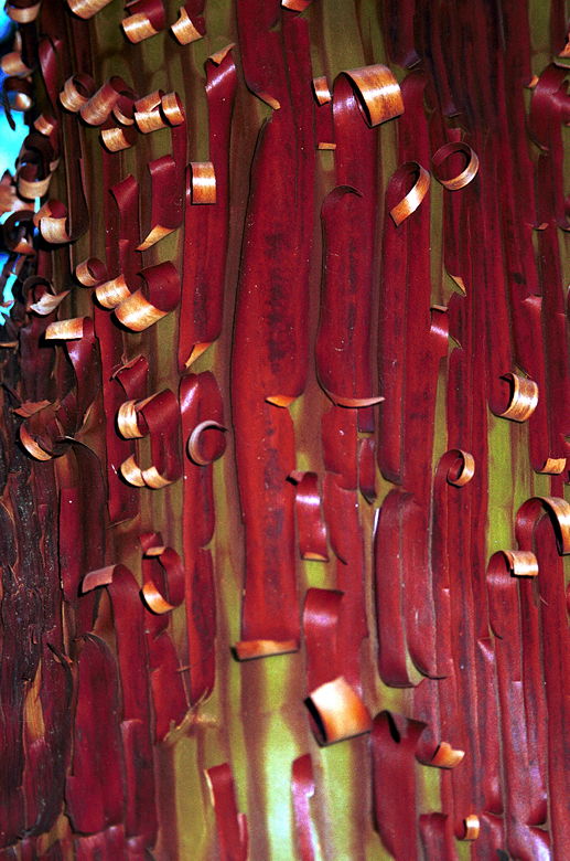
A shedding Manzanita tree
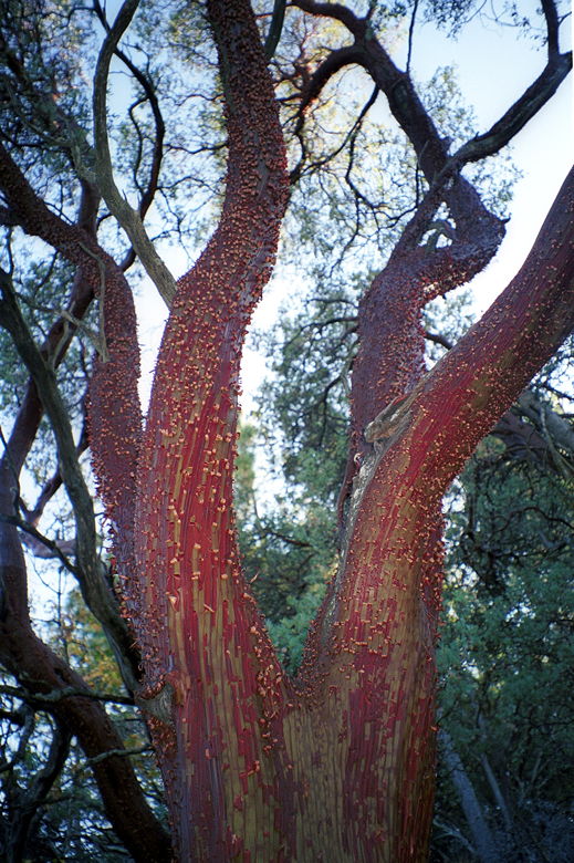
Full view of the tree
A little less than 2 miles from the headquarters, we intersected
with the Forest Trail. Deciding we'd had enough of the fire trail, we
headed into the forest and back onto the single-track. We saw more
manzanita trees, big slimy mossy rocks, and an (ahem) interesting
downed tree.
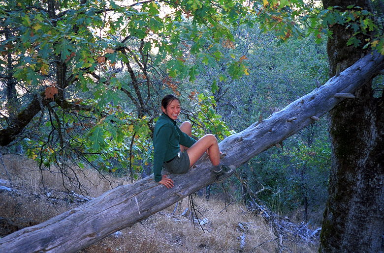
Cammy enjoying nature
We started to run into more people as we headed back along the
Corral Trail. And then we were all done -- crossing the final bridge
back to headquarters. This wasn't the most scenic hike, but it was
one of the most remote. It had a lot of wildlife and a lot of subtle
variety. And we only scratched the surface. The park is the largest
state park in northern California -- 81,000 acres! It would make for
a great backpacking trip.
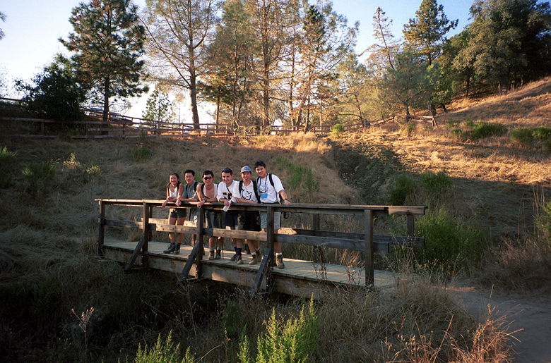
Group shot at the end of a fun hike
| 

