|
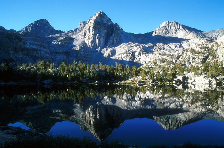
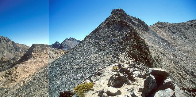
View looking east from the top (combination of two pictures)
(Click image to view full size)
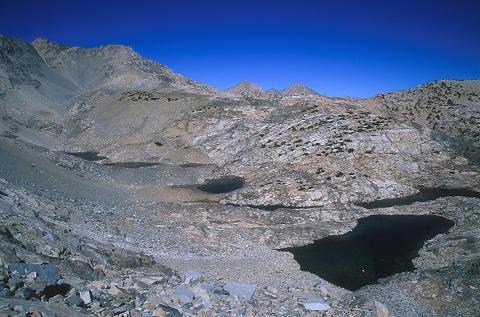
The view from the top is, as you would expect, impressive. Directly to the south, a small lake sits
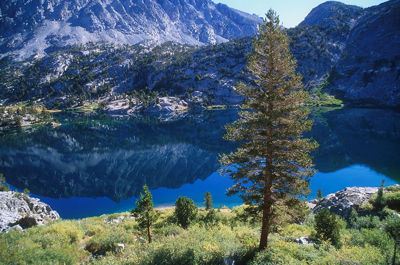
in a bowl backed by an impressive wall of granite. The trail on the other side of the pass is visible,
switchbacking down to that lake. To the north, Rae Lakes backed by a range of mountains. To the east
and west, peaks loom one or two or three hundred feet higher than the pass. The pass itself is narrow,
about 10-20 feet wide, perhaps 200 feet from the trail leading up to the trail leading down. The view
is nice, but if I had to compare, I would say that the view from Mount Dana is much better. I think it's
the color of the rocks. While the mountains surrounding Mount Dana have a dark brown tint, the mountains
surrounding Glen Pass all look like Mount Whitney -- a rather boring dull granite color. But I wasn't
complaining.
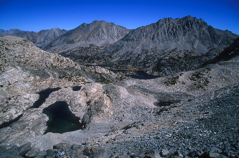
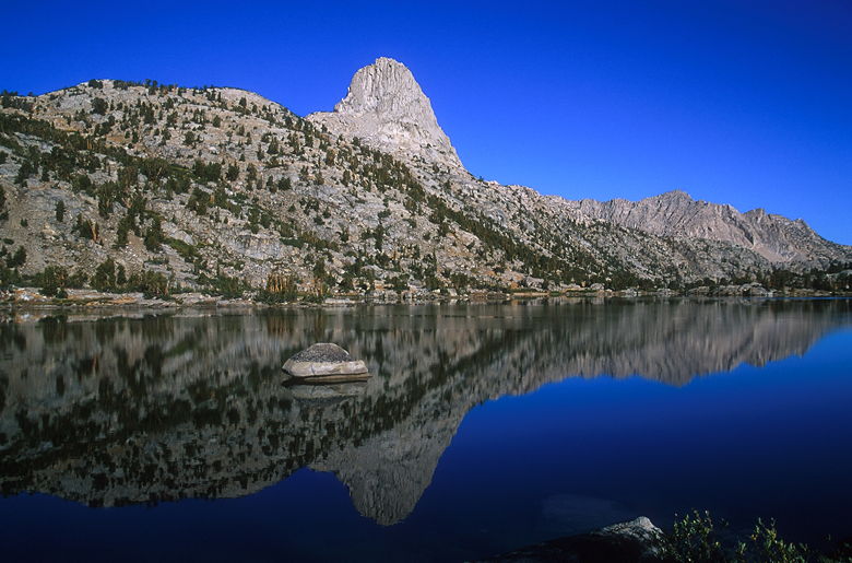
Looking back toward Rae Lakes from Glen Pass
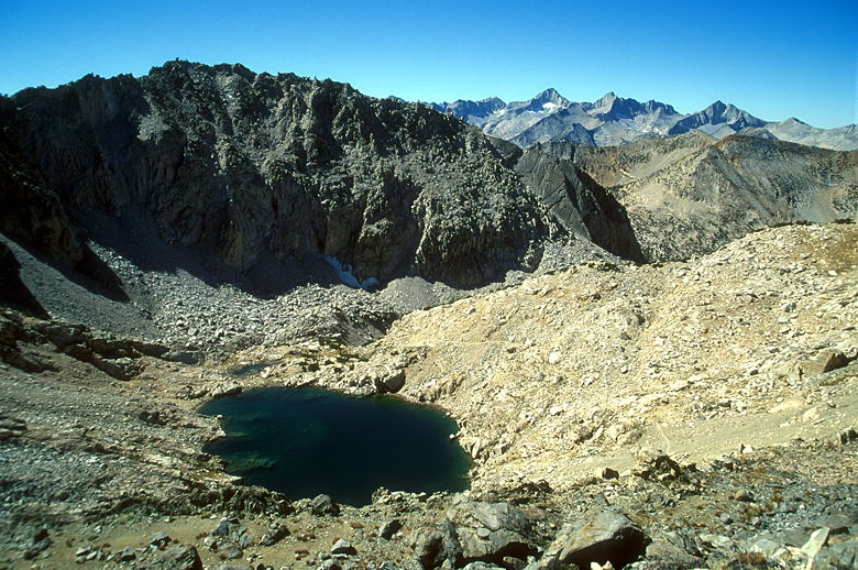
Lake on the south side of Glen Pass
It was cold at the top, and I put my jacket on. But it wasn't quite as windy as I would have expected.
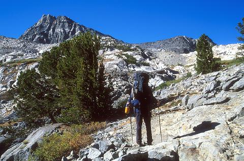
Steve decided he had to go above 12,000 feet (Glen Pass sits at 11,978 feet), so he scrambled up to
the peak on the west side of the pass. Kenny nearly gave us a heart attack by pretending to fall off
the trail as he came up. I have to say I was impressed with Kenny -- he's 57 years old, and he
seemed to be having a blast. Every time I saw him, he had a big smile on his face. And I've never
met anyone who took more pictures than I do -- until I met him. He took along 56 rolls of film!
By contrast I took 14 rolls of 36 exposures each (equivalent to 21 rolls of 24 exposures each). I
ended up using just under 12 rolls.
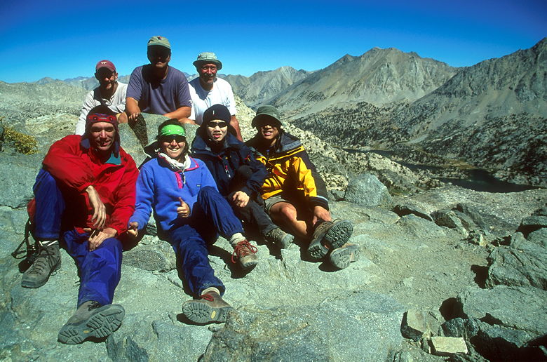
Everyone on the summit
While we were on top, I took out my pulse oximeter and measured everyone. If I recall, Jean had
the best blood oxygen level, around 90%. everyone else was in the mid to high 80's, except for
Scott, who had a reading of 75%! He didn't have any symptoms of altitude sickness, however.
Our pulse rates were all around 100 - 110, except Monica and Jean, who were in the 90's.
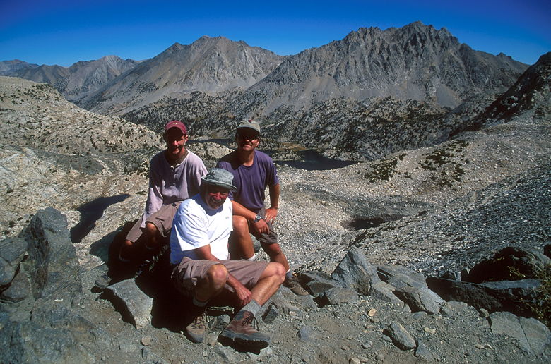
Steve, Kenny, and Scott
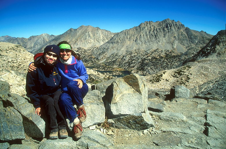
Monica and Jean
After taking some group photos, Jean and I started the rapid descent down the switchbacks on the
other side of Glen Pass. We extended our trekking poles and descended rapidly. If you're planning
on filtering water in the lake, be forewarned that the trail doesn't pass right next to the lake.
You'll have to do a short detour to get to the lake. It's only a couple minutes of detour.
We had plenty of water, so we kept on going.
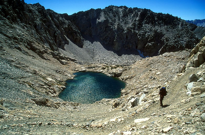
Jean descending the switchbacks from Glen Pass
We passed several groups of hikers coming up the opposite direction. All of them looked spent
as they headed up the steep switchbacks. I have to say that the trail heading up Glen Pass
from the south is much more difficult than from the north. I would not want to do the Rae Lakes
Loop in a counter-clockwise direction!
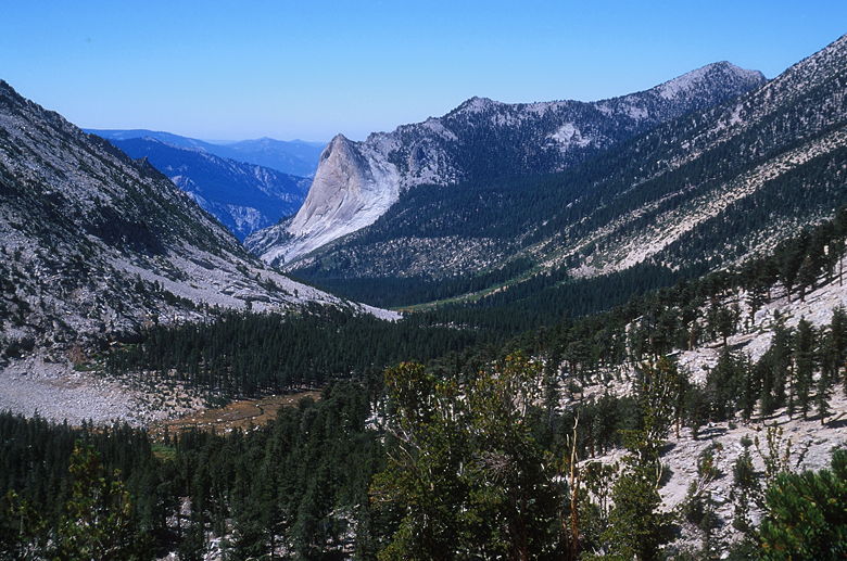
Valley near Charlotte Lake
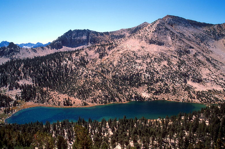
Charlotte Lake
After we passed the lake, the trail spit us out of the granite bowl and out into the open.
The trail then curves around to the left, providing views of Charlotte Lake below, to the
southwest. The lake is elongated and non-descript. We made the decision then to continue
on to Vidette Meadow. We continued our descent, stopping at a trail intersection for Kearsarge
Pass. We stopped to rest for a while. Just before we hit the trail again, a solo backpacker
came down the trail we'd just been on. The old man muttered something and we eventually got
it out of him that he had heard the news about the World Trade Center and had decided he couldn't
go on anymore. He was hiking out to the Onion Valley trailhead. He was obviously distraught
and it was a bit unsettling to us. We had no intention of hiking out, but we couldn't help
but think of all the innocent lives lost.
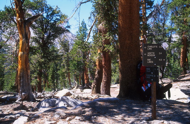
Trail intersection for Kearsarge Lakes
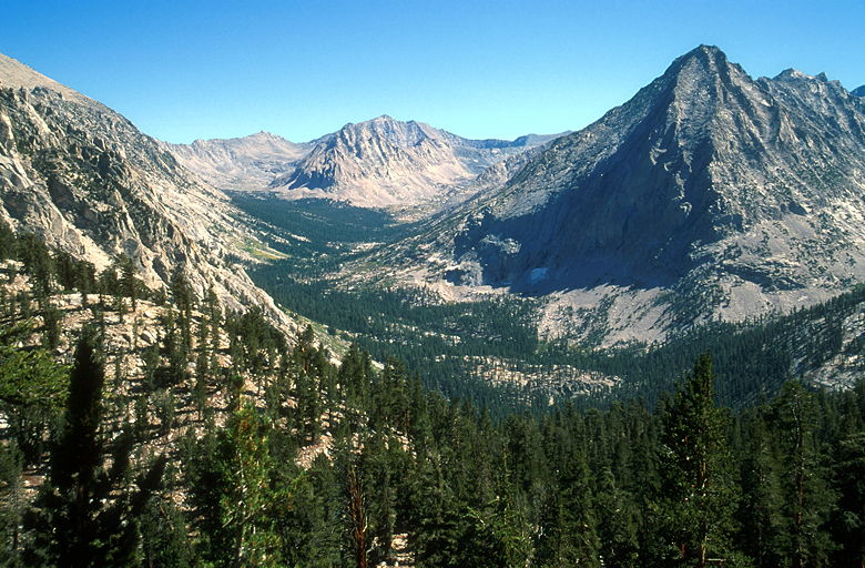
Center Peak (center) and East Vidette (right)
It's too bad our minds were so occupied, because in a few minutes, we would witness some of the
most awe-inspiring views on the trip. As we started a long descent of a series of
steep switchbacks, we had a wonderful view of East and West Vidette peaks, as well as Center Basin.
The basin was visible in front of us to the left, a sloping valley of green topped by tall
granite peaks. In front of us to the right were the 12,000+ foot peaks of East and West Vidette.
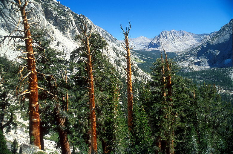
Center Peak
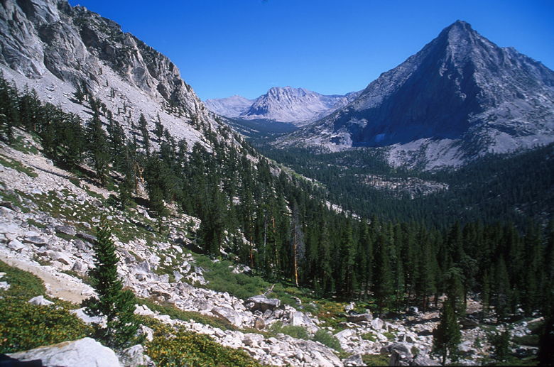
Center Peak and East Vidette again. If you look closely, you'll see the trail near the bottom left.
While I gawked and took photographs, the East Coast pair passed us on their way to Junction Meadow.
Eventually the views ceased and we entered a lush green area surrounding a stream following the
trail. We criss-crossed the stream a few times. On either side, Jean recognized wild garlic
growing. We could have filtered water here, but the shade of the trees kept us cool, so we
didn't need much water. Besides, we were now very close.
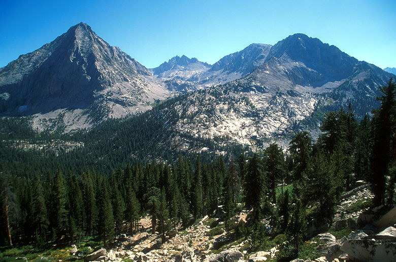
East Vidette and West Vidette
We reached an intersection with the trail toward Road's End on the right, and the JMT trail
continuing to the left, continuing on toward Forester Pass. The map makes it look like Vidette
Meadow is on the left fork. So that's where we started to go. After a short while, it seemed
like we were headed away from the meadowed portion, and we hadn't seen either of the two bear
boxes which seemed to be on the map. I took off my pack and, radio in hand,
began to look for the bear boxes while Jean waited. I saw two women stopped near the trail
intersection, but I headed in the opposite direction. As I was beginning to lose hope of
finding the bear box in this direction, I ran into a couple of guys at a creek. They were
the companions of the two women and had just got here themselves from the same direction as us.
One of them had a guide book, but it wasn't helpful in finding the bear box. Defeated, I turned
around.
We returned to the trail intersection to find a man in his 50's sitting down, resting, waiting
for his slower companions who were coming up from Sphinx Creek camp. They were headed up toward
Charlotte Lake today. They still had a long climb ahead of them. Jean now took her turn, taking
a radio and heading down the trail toward Road's End, in search of the bear boxes. We left a note
at the trail intersection for Monica, Hugh, Steve, Scott, and Kenny, telling them where we were going.
We hadn't seen them since Glen Pass, but they had planned to camp at Vidette Meadow.
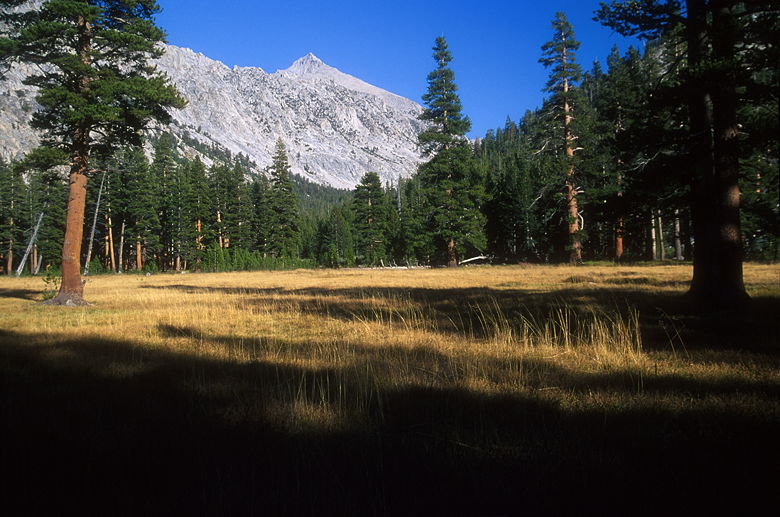
University Peak above Vidette Meadow
We didn't have to go far before we found the bear box and unmarked camp sites. There was already
one person set up there. As we started to set up our tent, the man we'd seen at the intersection
came over, along with his friends, about 8 of them in all. They'd decided heading up to Charlotte
Lake today would be a bit much, so they were joining us at Vidette Meadow tonight. There's not
a lot of space in the area -- all the good sites are close to each other, so it'd be a little
cozy tonight.
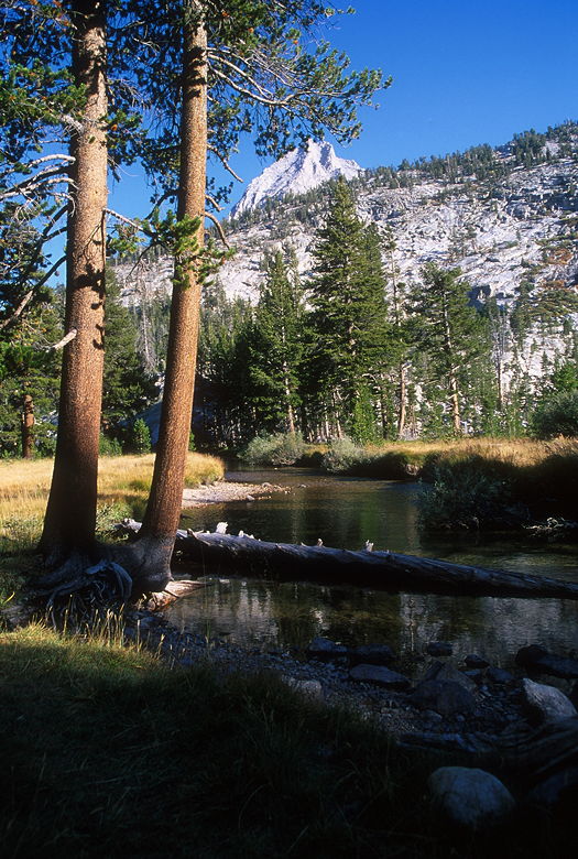
Bubbs Creek
Since they were traveling in the opposite direction, the men had seen the TV reports themselves
and knew a bit more about the disaster. One of them told us what he knew, about the hijacked
planes and up to 10,000 dead. I think it was good to hear more details from someone who'd been
out "in the real world," rather than filtered horror stories passed on from person to person.
He was much calmer than the
person we'd seen earlier in the day who was packing out. That first guy gave out a sense that
the world was coming to an end, but this calmer guy gave out a sense that life goes on. It was
horrible, but life goes on... I was sure we'd be immersed in the details when we got back home.
It wasn't going anywhere.
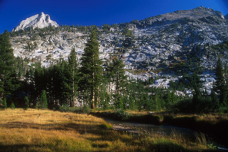
East Vidette rising above Vidette Meadow
Meanwhile, I should tell you about Vidette meadow itself. It's a large meadow backed by the peaks
of East Vidette and West Vidette. Pine trees line the edges of the meadow, and surround the camp.
Bubbs Creek runs through the meadow and near the camp. While I was over by the creek getting
some water to filter, Monica, Hugh, Scott, Steve, and Kenny came into camp. It was all one big
happy family now. Monica wanted to have another camp fire tonight (we were below 10,000 feet --
around 9500 feet), but there's not much dead and downed wood at the camp.
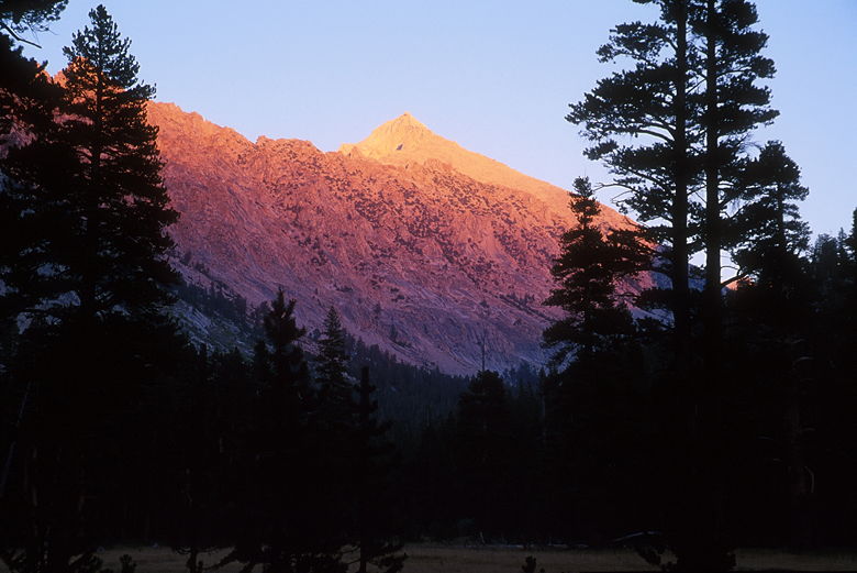
Alpenglow on University Peak
So after dinner, we walked around outside of the camp, looking for twigs and branches on the
ground. All of us working together retrieved quite a lot of fuel. We got the fire going
before sundown, and soon we were all gathered around, including a couple guys from the other
group, and Travis, a student from Cal Poly SLO who had been camped here when we arrived. He'd
been out fishing all day.
Steve and Kenny joined us for our camp fire chat -- I think this was the first time all week
they stayed up past 8pm. We talked about all sorts of things, including bears. Travis mentioned
that a bear in the area had come into camp the previous night. Jean was saying how scared of
bears she was when we heard a sound. Monica asked what it was, and Scott said: "Those are my
bear bells!" He'd attached bear bells to his pack, and now they were making a sound -- which
either meant his pack was moving by itself, or it was being dragged away by a bear!
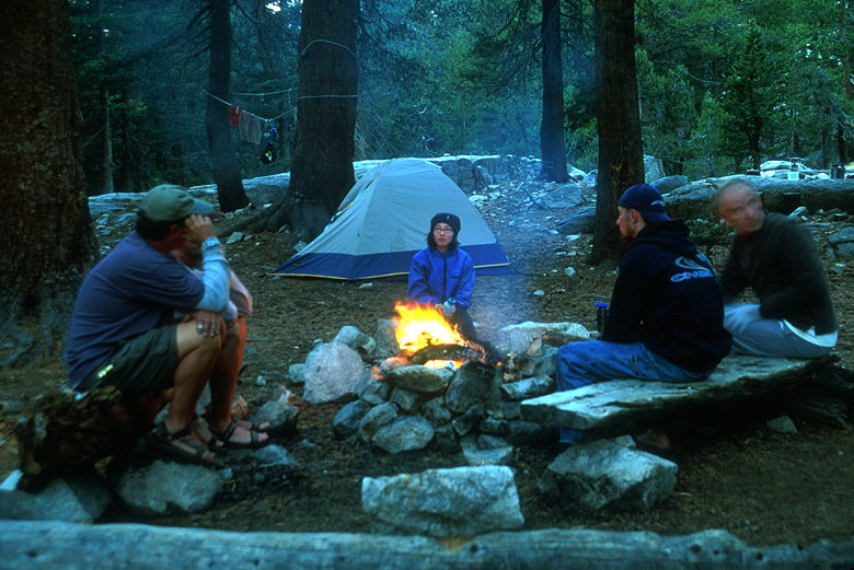
Camp fire at Vidette Meadow
Before anyone else could react, Jean jumped up and turned on her headlamp and went toward the
sound. She yelled out that she could see the bear's eyes and followed the sound. Scott said
that his keys and wallet were still in the pack. I was afraid the bear would just keep walking
out into the forest. He started to walk up the hill on the other side of the trail next to
camp. Hugh and I chased after Jean, who was still ahead of us. I was a bit worried she was
getting too close to the bear by herself. There's safety in numbers. When Hugh and I reached her,
she was throwing rocks at the bear, who had finally stopped and put down the pack. He began
chewing on something as Scott came up behind us. I told Jean to stop throwing rocks when it
became obvious that the bear was simply going to sit there and eat whatever it was he'd found.
He only wanted the food, not the pack.
We stood there and waited, with our lights shining toward the bear. We were maybe 20 or so feet
downhill from the bear. He finished off the food, then slowly started walking up the hill,
away from the pack. When he was far enough away, we went up to retrieve the pack. Apparently
he'd found some sort of bar that Scott had forgotten was in his pack. There was bear slobber
on the pack, but it was otherwise none the worse for wear. Kenny came up the hill with his
camera, but it was too late; the bear was gone up the hill, out of sight.
Scott took the pack back to camp, and we all double-checked our packs to make sure no food was
there. I took my keys and put them into the tent just in case. We unzipped all our pack zippers so if
the bear found anything, it at least wouldn't ruin our packs getting to it. I vowed that the
first thing I would get when I returned would be bear bells. Without the bear bells, we never
would have known that the bear had sneaked into camp, only 30 feet away from our camp fire.
We might never have found Scott's pack, then.
Eventually we returned to the camp fire, a bit shaken but excited to have seen a bear. But
that wasn't the end. The bear returned to retrieve a bottle of oil from Kenny's pack. The bear
went out to the meadow and proceeded to pierce the bottle (which Steve found the next day) and
drink all the oil from it. We went after the bear en masse and kept our lights on it, but it
simply went about its business, eating whatever it found. It was completely unafraid of us, but
also un-aggressive towards us. it simply wanted food. I fear, however, that over time this will change.
It's only a matter of time before the bear becomes more brazen and starts entering people's tents
in search of food. It's a small step from there to actually attacking people while they're eating.
I'm afraid the bear may eventually have to be removed. Let's hope not.
The bear entered our camp a couple more times, but didn't find anything to eat. I attempted to
take some pictures, but unfortunately I didn't bring my big flash, and the built-in flash combined
with 50-speed film wasn't strong enough. All I got was the reflection of his eyes. Next time, I'll
arm myself with 400-speed film.
Later, after we'd
returned to our tents, I heard the bear just outside our tent, rummaging through Jean's pack.
We'd later find that he'd ripped into an empty ziploc bag which had contained Jean's dirty socks!
But he didn't take anything. There was nothing there. After he was done with the pack, though,
he walked past the front of the tent. It was quite eerie to see the bear's shadow going by, but
not being able to hear a sound. His padded paws were so quiet on the forest floor. He moved
effortlessly.
Convinced he wouldn't find any food in our camp, I went to sleep. Now, I usually sleep on my
right side. But for some reason I was sleeping on my left side. A couple hours later, I heard
a noise in front of me and jerked awake and yelled "Bear!". But then I heard a voice "it's just
me!" It was Jean. My switching of sleeping sides had disoriented me. :) Whatever's in front of
me is usually just outside the tent, but since I'd switched sides, it was just Jean.
Later that night, Jean said that she heard the bear just outside the tent on her side, sniffing.
She couldn't sleep after that.
| 