|
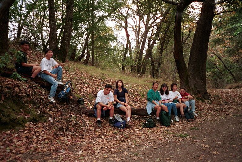
Amy, Annie, Elaine, Jenny K, Landa, Tuan, Weihaw, Wilson, and
I hiked in the Saratoga Gap Open Space Preserve at Highway 9/Skyline
near Saratoga. It had been very cold for a couple weeks before
the hike, but mother nature was nice to us, and it was shorts
and t-shirt weather for the hike.
We started out along the Saratoga Gap trail, which parallels Skyline
for 1.7 miles. It's heavily wooded, but also heavily trafficked
by mountain bikers. The trail at this point is relatively narrow,
so we had to stop and let them pass many times. We then turned
right onto Charcoal Road. The hike is less wooded here; we descended
down to Table Mountain. At some point we made a wrong turn. We
were supposed to climb back up via Grizzly Flat Trail. I suspect
that, 0.7 miles from the turn, we turned right instead of left
(we tried to turn left, but there was a gate there which we thought
meant that was the wrong way). We ended up going back up Charcoal
Road. This is probably a good thing, because if we had followed
the described Saratoga Gap Loop trail, the hike would have been
about 12 miles instead of the advertised 9. We stopped for lunch
shortly after realizing our mistake, then started the steep climb
back up. To summarize, about half the hike is relatively flat,
a quarter steep downhill, and a quarter steep uphill. The forest
is nice, but the mountain bikers and the nearby traffic from Skyline
(for the first and last 1.7 miles) detract from the hike. And
if it's views you want, this isn't the hike for you.

Lunch stop

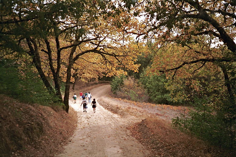
Heading back home. I thought the leaves looked nice.
|


