|
Art, CJ, Jean, Jennie, Naoko, Weihaw and I started out from Skyline
College on a beautiful sunny, brisk autumn morning.
The rain which had fallen the past few days had stopped, and it
was amazingly clear. The trail winds its way up a hill to quickly
give views of the Pacific Ocean. We turned left at the junction
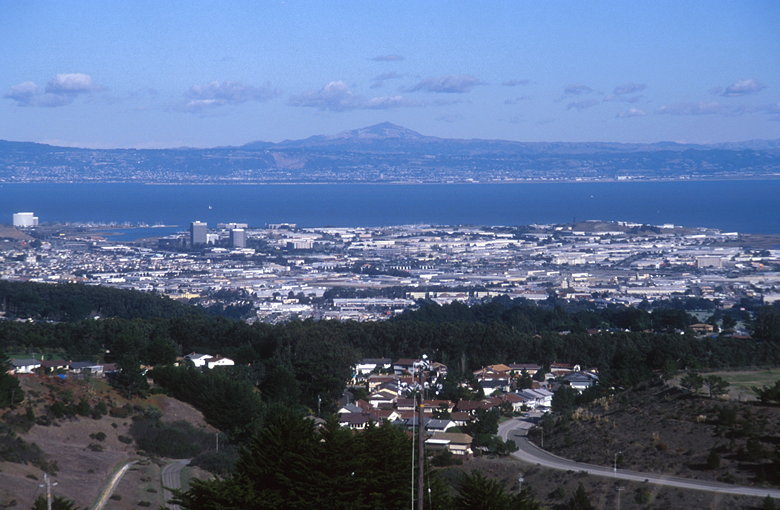
and soon had great views looking out toward San Francisco Bay.
Mt. Diablo stood out clearly in the East Bay. The San Francisco
airport was the most visible object on our side of the bay. We
were not quite in the flight path -- planes took off and passed
a bit north of us.

Mount Diablo above San Francisco Bay
The trail then heads south, down a short hill and then relentlessly
up a set of winding earthen stairs. Near the top a little dog
came running out at us. Its owners walked past us in the opposite
direction, but the confused little dog kept going in our direction.
Art and CJ finally started chasing the dog away, and it went back
to its owners.

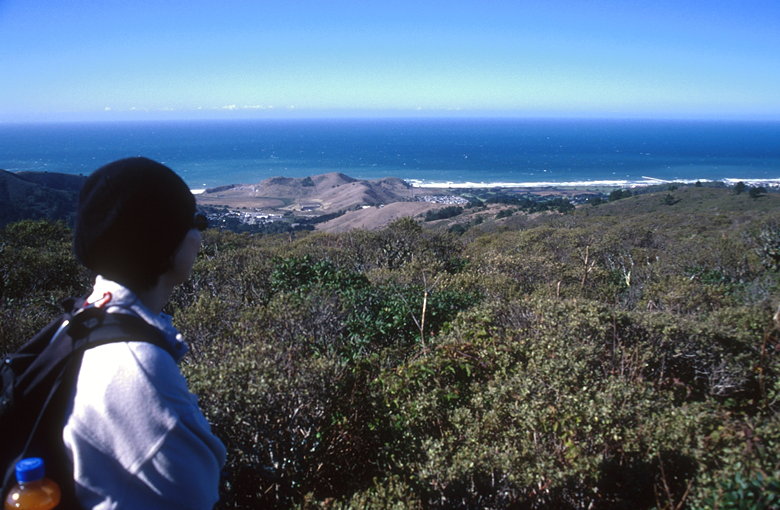
Jean looking out at the Pacific Ocean
At the top lies a few abandoned buildings of unknown origin (well,
unknown to us, anyway). Perhaps they were military barracks of
some sort.
We tried walking west to get a better view, but bushes block some
of the way. We still enjoyed a nice view of the oceans as birds
hovered in the stiff wind coming from the west.

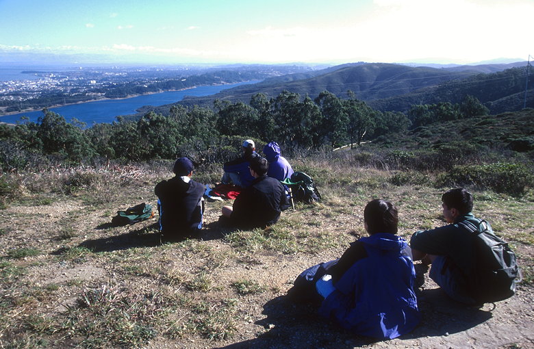
Lunch overlooking Crystal Springs Reservoir
We wandered over to a big cylindrical tank where we stopped for
lunch. Below us was Crystal Springs Reservoir, extending southward.
Also clearly visible was Moffett Field in the South Bay, some
30 miles away.
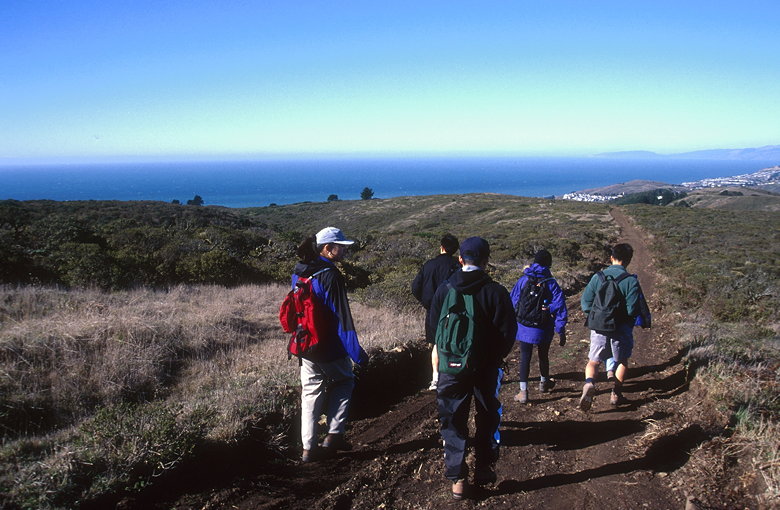
After lunch we made our way back, briefly detouring down a trail
which appeared to continue all the way down to Highway 1.

Heading home with a great view of the ocean
The vegetation was mostly unimpressive. Mostly dry grasses and
unattractive bushes. A few stands of eucalyptus and other trees
dot the area. Soon we were done with our little excursion, looking
forward to more challenging hikes.
| 


