|
Angie, Dave, Jennie, Randy, Reza, and I went to Mt. Tamalpais and
hiked the Boot Jack Loop.
We parked at the Pantoll Ranger Station ($5 per car) and started
off on the Alpine Trail. It stays close to the road for a bit less
than a mile. But the entire area is beautiful -- surrounded by
redwood and other trees, giving plenty of shade -- a great summer
hike. Then we turned right onto the Bootjack Trail. All the while
we're heading downhill, deeper and deeper into more isolated areas.
The Bootjack Trail follows a creek down to Muir Woods. Along the way
we spotted a snake, thousands and thousands of lady bugs in one area,
but not much other wildlife.
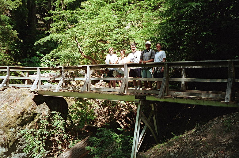
Bridge in the forest
A nice addition to the hike would have been a loop in Muir Woods.
Instead, we touched the back entrance to Muir Woods and stopped there
for lunch on a nice bridge at the intersection of the Bootjack and
Ben Johnson trails. Then we started the uphill climb up the Ben
Johnson trail. It's steep (about 10% average grade, I'd say), but not
too long. In fact, before we knew it, we were done. The hike is
supposedly 6.2 miles according to my hiking book, but I think that's
inaccurate. I'm guessing the true distance is about 4.5 - 5.0 miles.
Since we stopped for lunch, we really only hiked 2 hours. We were
going at a pretty good pace, but I doubt we were going 3 miles per
hour.
Afterwards, we made the 4 mile drive up to the Mt. Tamalpais East
Peak. Along the way we stopped and took in the great views of the
Pacific Ocean and San Francisco. We then made the short (0.2 miles)
hike up to the peak. Along the way there are great views of Bon Tempe
Lake and Lake Lagunitas to the west. At the top there are great views
of the East Bay, and Mt. Diablo clearly visible to the east, rising
above all else.
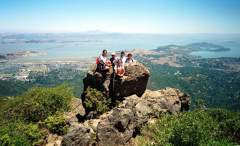
Group picture from atop Mt. Tam. That's Richardson Bay and Angel
Island on the right.
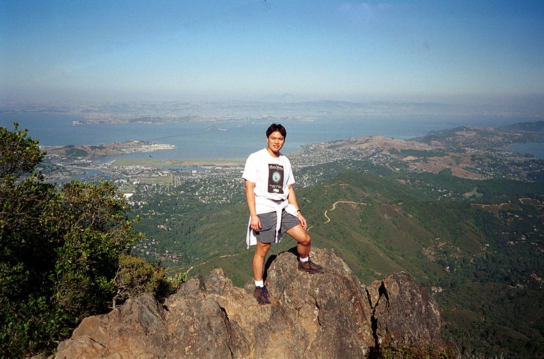
Me standing on top of Mount Tam on a previous trip.
|


