|
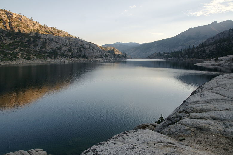
Panoramic of Relief Reservoir
(Click image to view full size)
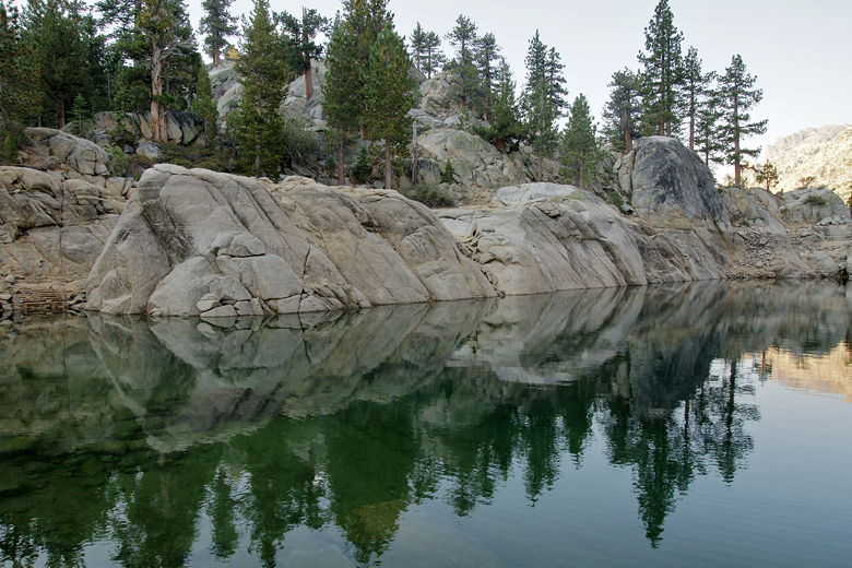
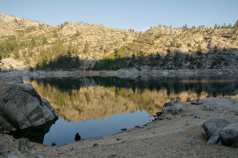
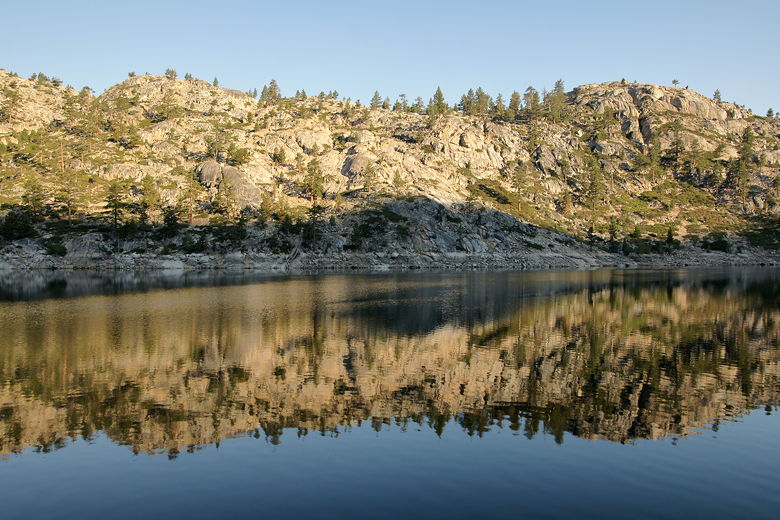
Rocky shore reflecting in Relief Reservoir
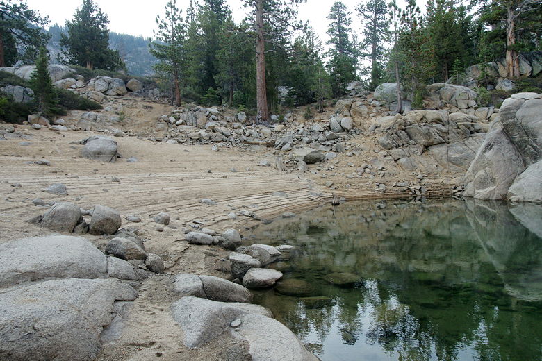
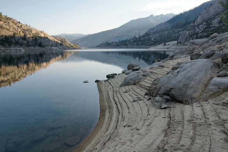
The beach
It warmed up quickly once the sun reached our campsite. Even though I got up early,
no one else did, and we didn't break camp until 10:40am. I was a little concerned about
the late start because I knew this might be our toughest day - over 8 miles and over 2000
feet of climbing. But it's hard to pack up camp quickly when the kids don't help much.
Maybe as they get older they'll be able to do more water filtering, stuffing sleeping
bags and pads, and taking down the tent. We did our best to try to get them to help
more this trip.
In any case, we finally left camp under sunny skies, making our way back to the main
trail, then turning right to continue our journey. We soon started playing leapfrog
with another pair of backpackers who probably started out from Kennedy Meadows earlier
in the morning. The trail starts climbing, with stretches of flat trail as well.
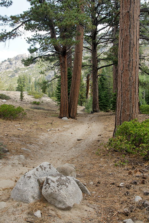
Looking back at the trail near Relief Reservoir
We soon reached the start of the loop section of our hike. To the left was the trail
toward Lunch Meadow, while the right fork led to Upper Relief Valley. While we were
here, one of the backpackers we'd passed came up and started asking about the trail to
Kennedy Lake. I gave him a blank stare, not sure how to answer. We'd passed the trail
to Kennedy Lake 2 to 3 miles ago. After my pause he explained he didn't actually want
to go to Kennedy Lake. Whew! He said they were going to Emigrant Lake, which was our
destination as well. So he started off on the left fork and said "Relief!" Which
confused me again, since Upper Relief was to the right. But he clarified he was still
going to Emigrant.
We soon followed, taking the left fork signed for Lunch Meadow. We climbed some more
and soon had a view of the south end of Relief Reservoir. After a bit more climbing
we stopped for a break. Storm clouds started to form around the peaks, although they
seemed distant at the time. While we were there, a horse train came by, maybe about
a dozen horses in all, with a half dozen riders. If you're planning a trip into the
Emigrant, be aware that horses are common; as you might expect, so is the horse manure
everywhere on the trail. I don't think there are any hiker-only trails, so there's
really no way to avoid it unless you go off-trail.
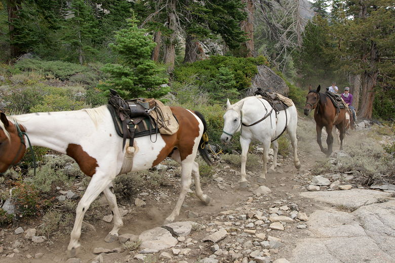
Horse train on the trail
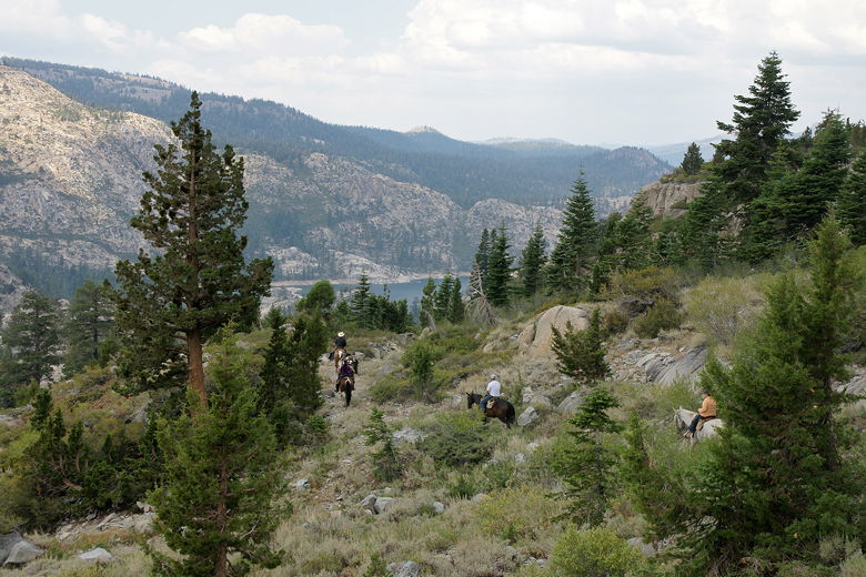
Horses heading toward Relief Reservoir
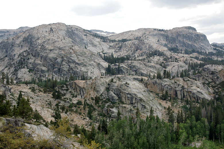
View from the trail
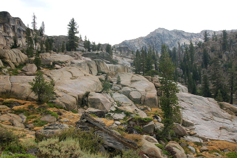
More climbing ahead
We continued up the trail before making another rest stop near a stream. I was carrying
extra water because I hadn't seen any lakes on the map along the way to Emigrant Lake.
I needn't have, as there were plenty of places to get water along the way, even in this
summer after a relatively dry winter.
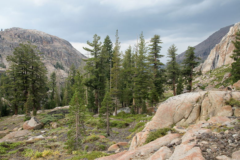
Looking back (north) at approaching storm clouds
And then the rain started. It was probably around 2:30pm. It was relatively light, but
it was constant. We're used to short Sierra thunderstorms, but this was the start of
something different. After about a half hour of this, we decided to stop under some
trees and see if it would stop. We didn't have a lot of time to wait, though, since we
were still quite a ways from Emigrant Lake. After about 15 minutes of waiting, we
got back on the trail, and the rain stopped within about 15 minutes after that.
The sun came back out and it got warm again, as we climbed up toward Lunch Meadow. As
we approached the top of a climb, we saw some backpackers coming down toward us. I
asked them how far the next intersection was. They weren't sure which intersection I was referring to, but did say that if
we kept going an hour and a half, we'd reach Brown Bear Pass. That wasn't what I wanted
to hear. Although we weren't going to Brown Bear Pass, Mosquito Pass (where we were going)
would be nearly the same distance, and I had thought we were closer than that. Now I knew we
really didn't have time to waste. It was about 3:50pm, and given that estimate we'd be
getting into camp near sunset.
After reaching the top of our climb, we made one final break at around 4:15pm, then
started the mostly flat walk through Lunch Meadow. Brown Bear Pass was clearly visible
up ahead to the left. The skies turned cloudy again, but it was still warm and dry.
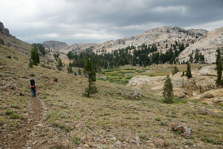
Heading toward Lunch Meadow
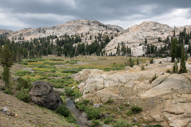
Lunch Meadow
We reached the intersection where the left fork led to Brown Bear Pass and the right
fork led to Mosquito Pass and Emigrant Lake. We took the right fork, crossed a dry
streambed, and started heading uphill toward Mosquito Pass. Almost immediately, the
skies opened up and let loose. This was serious rain, nothing like what we'd encountered
earlier in the day. We quickly stopped and put on our rain jackets, then decided what
to do. There was no way we could wait this out, no place to set up camp here (far from
any good water source). We would just have to head up and over the pass.
Let me say that this portion of the hike was possibly my most miserable hiking experience
ever, and I've had quite a few. At least after getting pelted by hail on the Milford
Track in 2002, there was a shelter waiting for me at the top and a warming hut at the end
of the day. No such luck today. The rain came pouring down as we climbed up toward
Mosquito Pass, a pile of orange granite with water streaming down from every crevice.
I wish I had taken some pictures, but taking pictures was the furthest thing from my
mind; I was in survival mode now. We heard distant thunder, the temperature dropped, and
our boots started to get soaked. The kids, who have hiked in the rain before, started to
complain. I couldn't blame them. The rain made everything slippery and the going was
tough.
Eventually we finally made it up and over the pass, much to my relief. I felt much safer
not being on top with approaching thunder and lightning. But our work was not done. The
trail on the other side was a long descent; it would have been fine except the extended
rain had turned the trail into a mud and slop fest. Our kids slipped at least once or
twice. While I stopped to put an extra layer on one of my kids, I shivered in the rain.
I didn't have time to put on my extra layer, as well, but knew that I'd be fine once I
got moving again. In retrospect, we should have kept all our warm clothes more accessible;
I had a fleece top, balaclava, and gloves all sitting deep in my backpack, which would
definitely have helped at this moment. It hadn't even occurred to me to have them ready,
since it had been warm right before the rain started (I did have enough sense to have my
rain jacket ready, though).
After a miserable hike down, we could finally see the lake (or rather, a pond just before
the lake). We turned right onto the trail for Emigrant Lake, then followed the flat
trail for about 0.4 miles before finding a suitable campsite. It was now about 7:45pm,
and the sun was setting. The rain finally let up, and we set up our camp.
We took inventory of our possessions. The boys' stuffed animals were wet, the clothes
and boots we were wearing were obviously wet, but other than that most things were dry -
despite the fact that we didn't have the foresight to use pack covers. We ate dinner
in the dark before crawling mercifully into the tent, hoping for better weather the next
day.
| 