|
Late at night, I heard a thumping sound near our tent. My first thought was that it was a bear,
but then I remembered bears are usually quieter (at least in my experience). I jolted up,
unzipped the tent, and turned on my headlamp. I couldn't see anything, and our bear canisters
in the distance were undisturbed. I went back to bed, listening intently. I heard more
noise and unzipped the tent again. This time I saw the culprit - a large deer, standing about
40-50 feet away from our tent. He stood there under the light of my headlamp,
unconcerned (or perhaps frozen like a deer in headlights). I went back to sleep.
In the morning, the rain was a distant memory, to be replaced by clear skies. Once again
I woke up just after sunrise and was able to capture some of the beauty of Emigrant Lake.
The mountains on the south side of the lake reflected nicely in its still waters in
the early morning light.
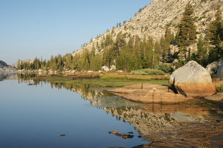
Emigrant Lake sunrise
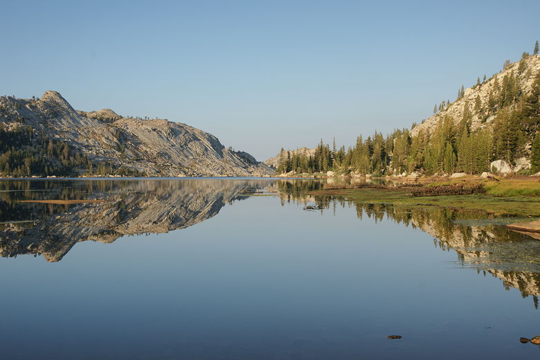
Emigrant Lake
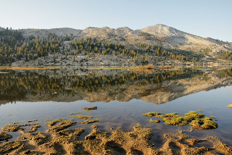
South shore mountains above Emigrant Lake reflected in the waters
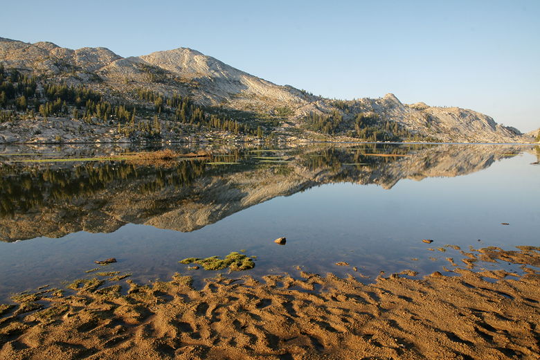
Emigrant Lake
The lake was shallow near the edges, and the small sandy beach
didn't provide a good place to get water, but a nearby rock provided a decent enough
spot. We took advantage of the clear skies and rising temperatures, laying out our
clothes and boots to dry on the rocks near the shore and our camp. Things were mostly
dry by the time we started our hike.
We didn't see many people at the lake. I saw the edge of one tent a few hundred yards
up the shore as I stood on the lake shore taking pictures. Later, we saw one solo
hiker heading east along the shore. That was it.
We had breakfast and packed up our camp. Today would be a relatively easy day, with mostly
flat or downhill hiking, and only about 7 miles of hiking. We started by hiking the 0.4 miles
back along the lake the way we'd come the day before, then turned right at the intersection
to head toward Horse Meadow and then eventually Huckleberry Lake.
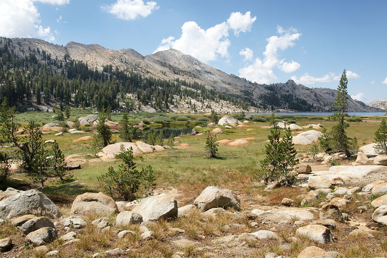
East end of Emigrant Lake
The trail started out flat but then immediately started climbing. In fact it was fairly
tough this early in the hike when I expected it to be mostly flat, but the climbing
didn't last very long. It started to level off soon, and we had a food break. We
should have waited a few more minutes, as right after our break we reached another
intersection; after a right turn we could see Blackbird Lake and several accompanying ponds
on our left. It was a pretty sight and a better spot for a break (although there isn't
much in the way of shade here).
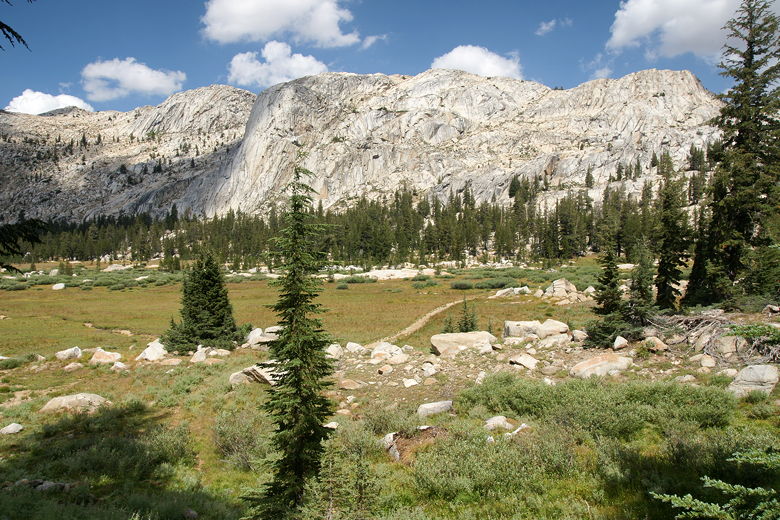
Looking back at the trail east of Emigrant Lake
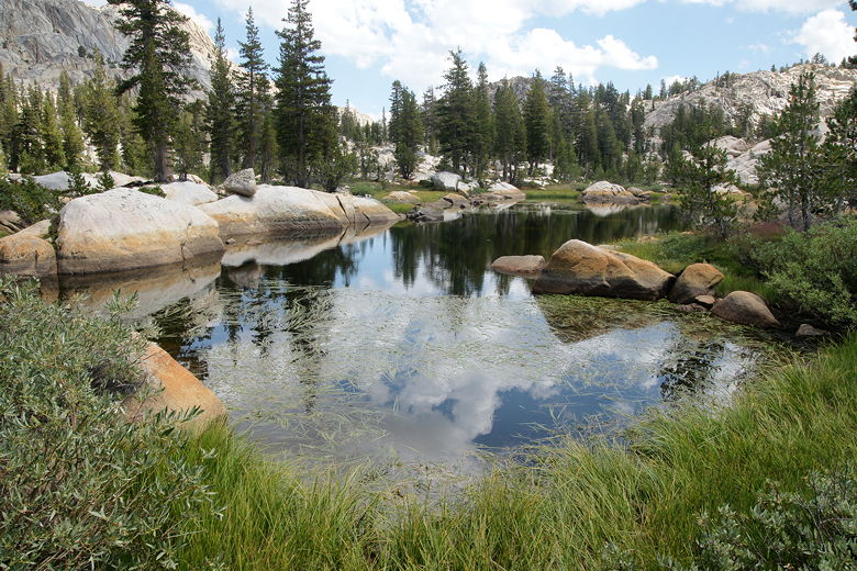
Edge of Blackbird Lake
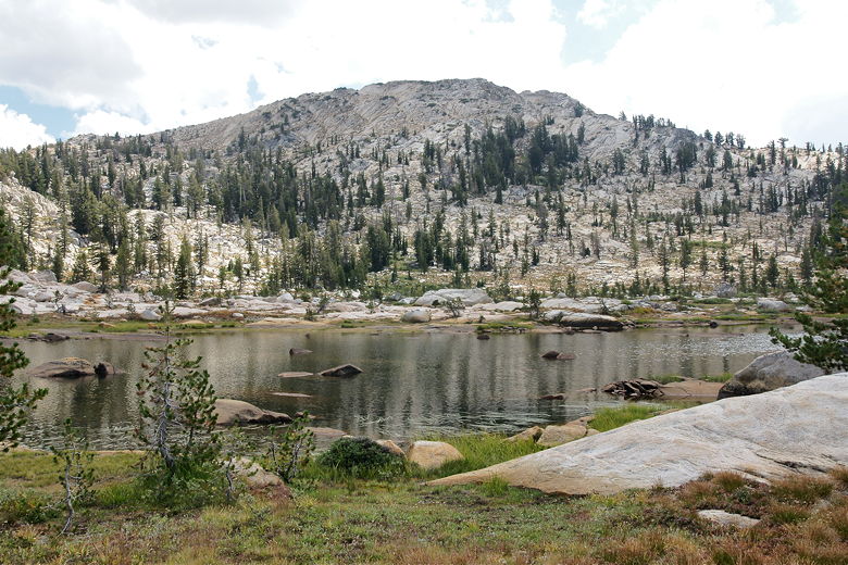
Blackbird Lake
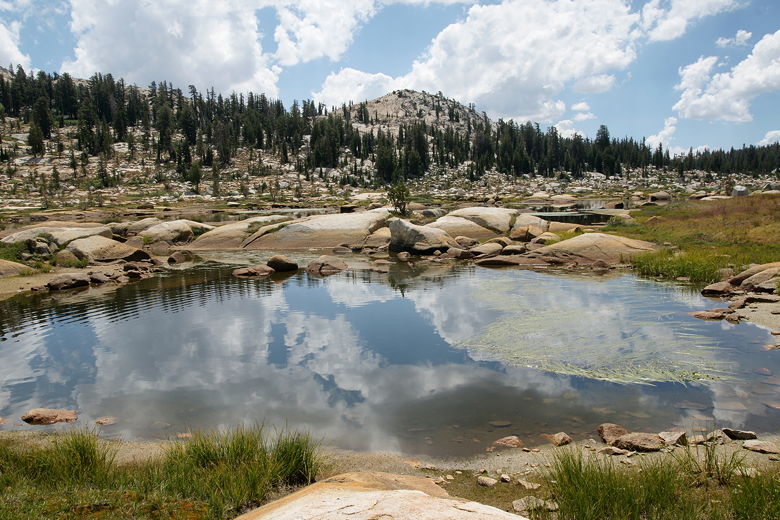
Reflections in pond near Blackbird Lake
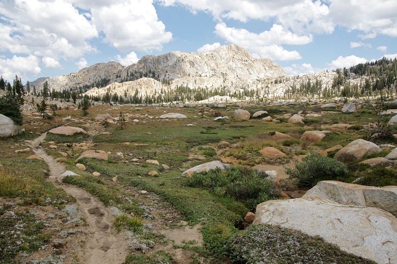
Looking back (north) at the Blackbird Lake area
The trail now follows mostly flat doubletrack for about a mile before starting a descent
down to Maxwell Lake. We had a relaxing lunch break by the shores of Maxwell Lake.
The lake is actually quite long, extending to the southwest away from the main trail. There
appeared to be a use trail leading further along the northwest shore, possibly to some
campsites. It looked to be a nice place to camp.
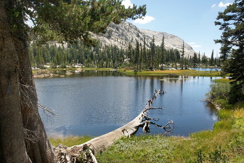
Maxwell Lake, with Sachse Monument in the background
The lake is backed to the south by Sachse Monument, rising up to 9405 feet (Maxwell Lake
sits at 8662 feet). Our next task would be to go around the northeast edge of the lake, and
then all the way around the east and south sides of Sachse Monument. We gathered our
things and started off on the trail to do just that. After leaving the lake, the trail
starts another descent in the forest. Here we encountered three day hikers going in the
opposite direction. These were the first people we'd seen all day since leaving Emigrant
Lake.
Soon we reached another trail intersection. Horse Meadow was visible to the left, but
we were heading right. The trail now heads downhill on some excruciatingly rocky
trail next to the East Fork of Cherry Creek. The trail is as wide as a road, but there
are rocks of all sizes all throughout the trail, making it rather annoying to walk on.
The ever-present horse manure doesn't help, either.
We suffered through this for a half mile before reaching the next trail intersection.
To the left, across the creek, the trail leads toward Twin Lakes, just across the border
into Yosemite National Park. We would be taking the right fork, however.
First, though, we enjoyed a nice break at the creek here.
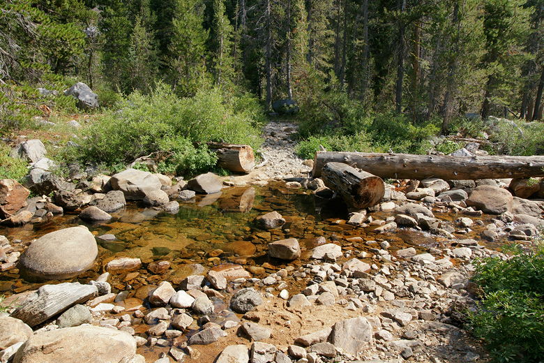
East Fork Cherry Creek crossing at Twin Lakes intersection
After a long refreshing break at the creek, we continued along the trail, which shortly
crosses the creek further downstream (easily rock-hopped). We ran into a ranger and
another hiker. I kept expecting the ranger to ask for my permit, but he never did.
We talked about getting caught in the rain, and they mentioned that it only drizzled
down here yesterday. Apparently the geography plays a huge role in precipitation, and
the higher passes and peaks probably bore the brunt of the rain yesterday afternoon.
I asked the ranger about campsites at Huckleberry Lake; in particular, I wanted to know
if he thought we should go left or right when we reached the lake (there are trails on
either side). He said we could find camps on either side; given that we were going
to Long Lake the next day, the right side would make more sense, but he said there was
a large horse camp on the right side. And the horses had bells on them. So if we wanted
some peace and quiet, we should go left.
We ran into 6-10 people from here on into Huckleberry Lake. Many of them were
carrying walkie talkies, and one of them was carrying
a shovel. It looked like perhaps they were going to do some trail maintenance.
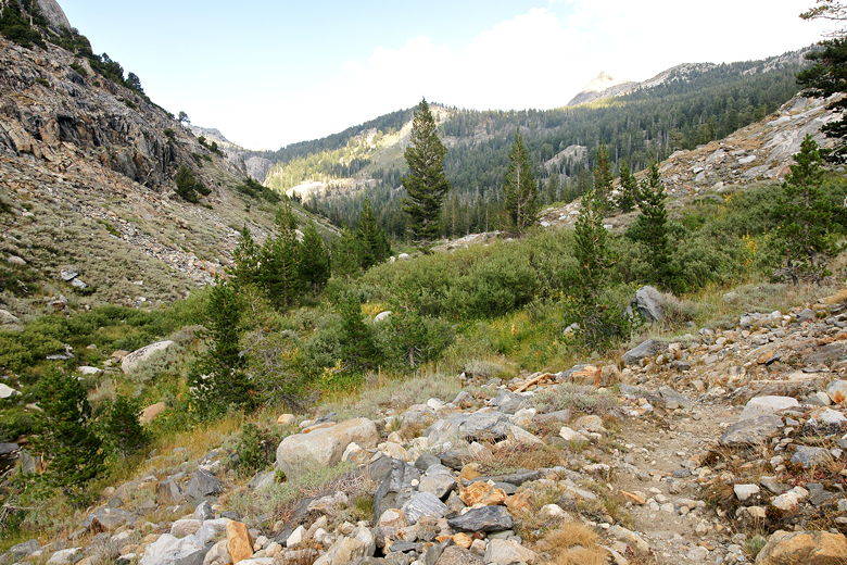
Looking back (east) along the valley
The trail is slightly downhill as it follows the creek downstream past the back side
of Sachse Monument. It's about 2.3 miles from the Twin Lakes intersection to the
Huckleberry Lake intersection. Just before we reached the intersection, we encountered
another ranger. This one did ask for my permit, which I provided. I asked her the same
question about campsites, but she didn't really give much added information. In the end,
we decided we'd take the left fork to avoid the horse camp. Once we found a site, we'd
decide whether to continue along the trail the next day, or double back.
We reached the T-intersection, and turned left. We soon saw the lake itself, and moments
later were walking along the southeast shore of the lake. Unfortunately there weren't any
campsites here. The trail then becomes very narrow and the hillside steep as the trail
edges along the shore. There was definitely no room for a campsite here. But the ranger
we'd just seen had mentioned that it would open up after this, and it did. About a half
hour (and 0.7 miles) after we'd reached the lake intersection, we found a nice campsite and
set up camp.
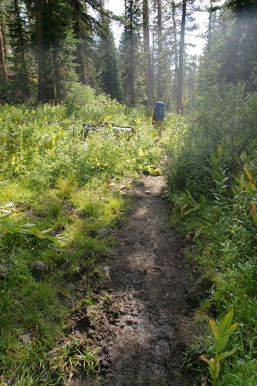
Hiking into the afternoon sun toward Huckleberry Lake
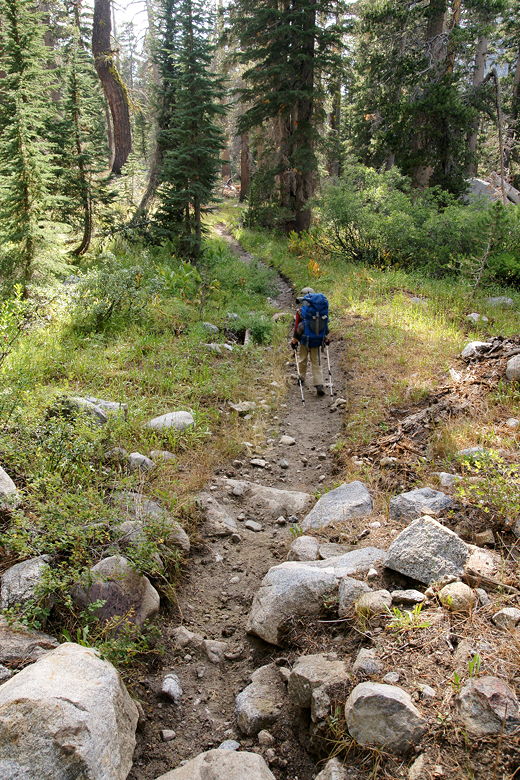
Trail to Huckleberry Lake
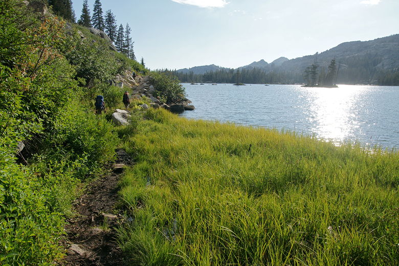
Afternoon sun at Huckleberry Lake
There was a little beach nearby with a nice view of the lake. Once again, it wasn't a
great place to get water, but it was good enough. We also didn't hear anything from the
far-away horse camp. We cleaned up, had dinner, enjoyed a nice sunset, then went to bed.
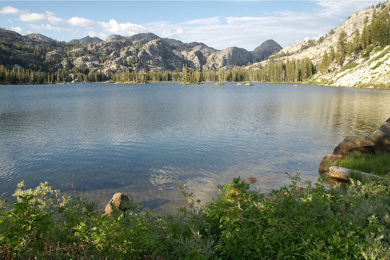
Looking northeast at Huckleberry Lake
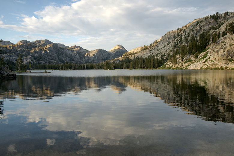
Reflections in Huckleberry Lake
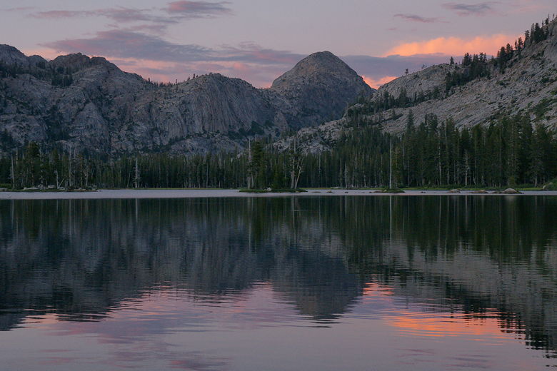
Huckleberry Lake sunset
| 


