|
For once the sun would enter our camp relatively early in the morning. But
it was still a bit cold when I got out of the tent around 6:30am to find that
our neighbor had already packed up and left. We took our time, finally
getting going at 9am.
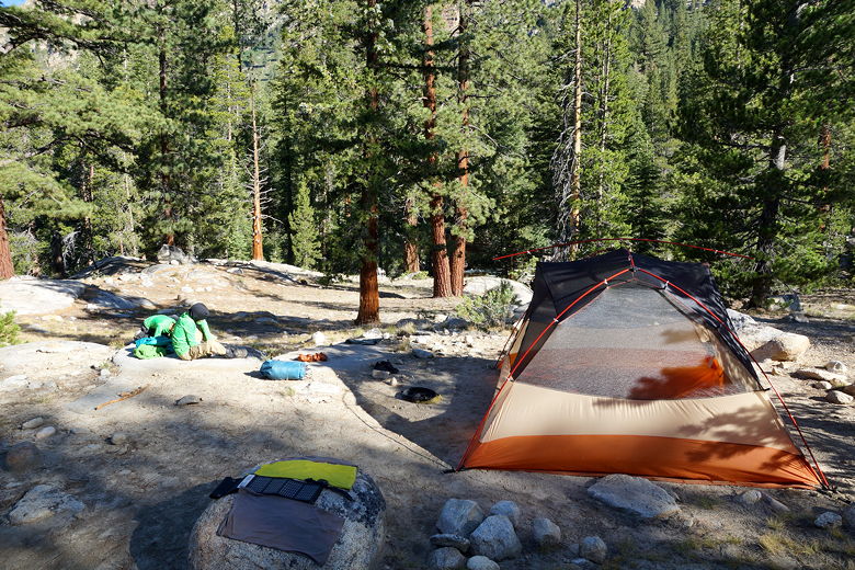
Breaking camp
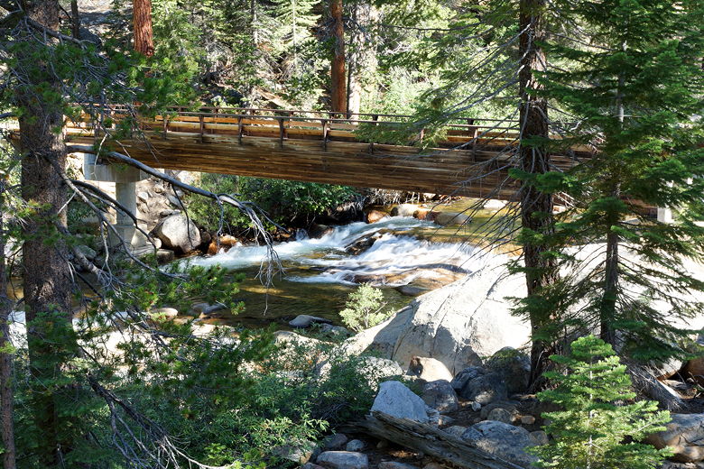
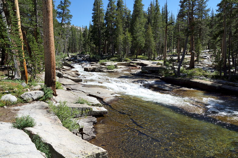
Bridge over Mono Creek North Fork
As we left, Tim and Michelle passed by and we would play leap frog for much
of the day. We started the day with a 2000 foot climb up and over
Bear Ridge. There are numerous switchbacks in the cool shade of the forest.
Jared said that at one point he could see Lake Thomas A Edison to the west,
but for the most part it's hidden.
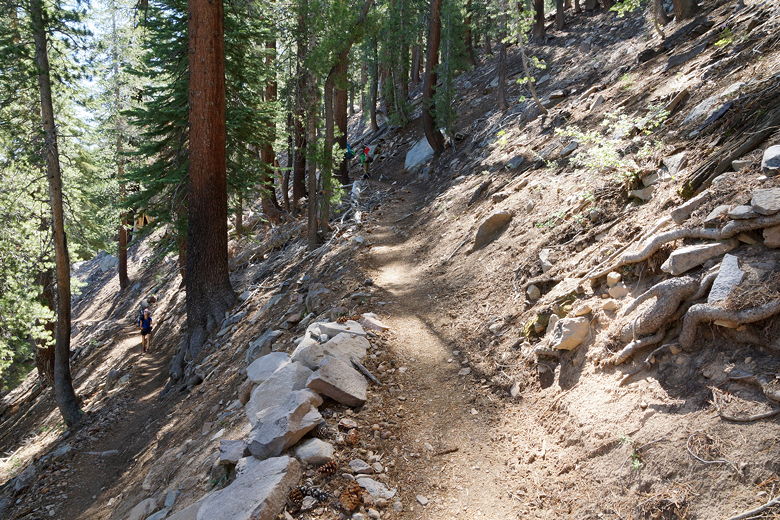
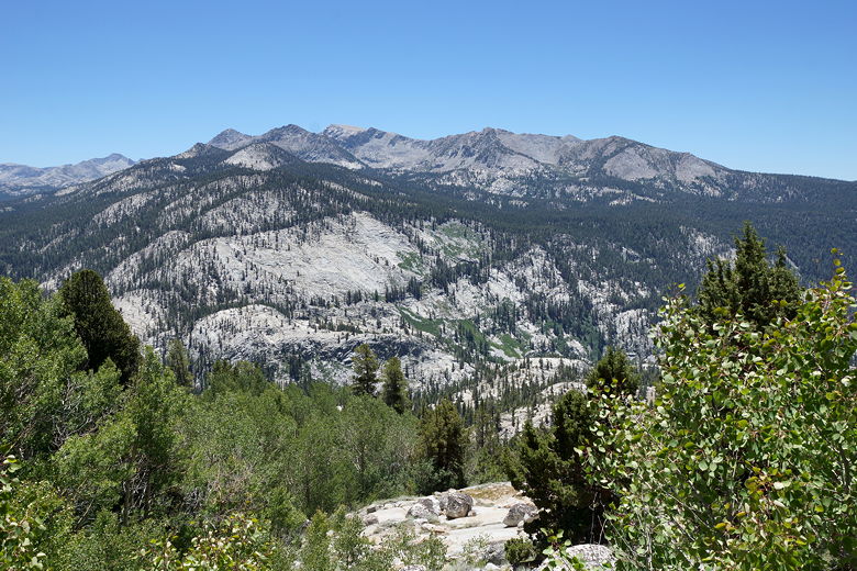
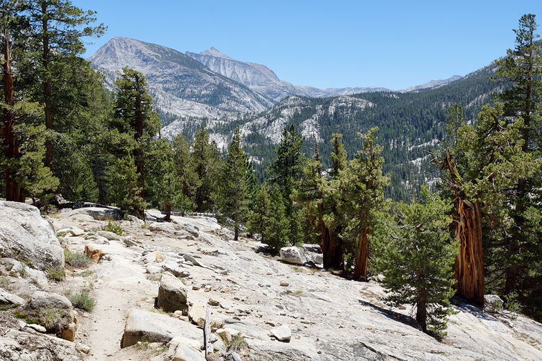
Switchbacks up to Bear Ridge
Mountain view
The climbing is rather relentless, but uniform and on good trail. After
about 1150 feet of climbing we stopped to rest. Tim and Michelle stopped
by and introduced themselves. If I recall, they had gotten to Reds
Meadow last year before stopping due to sickness. This year, they were starting
from Tuolumne Meadows, I think, and were planning to hike all the way to
Horseshoe Meadows (south of Whitney).
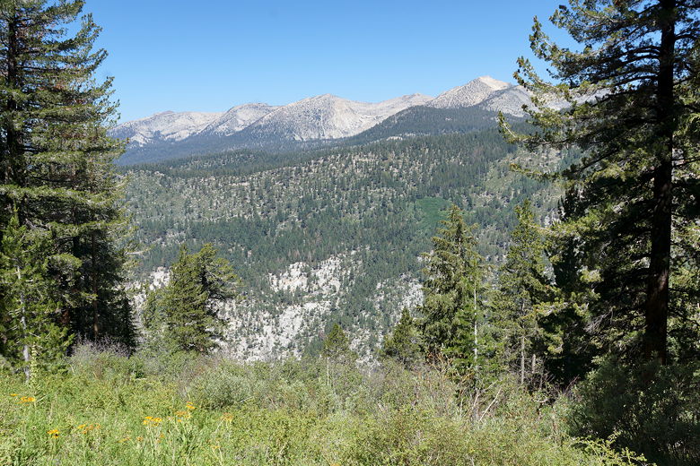
After a break we continued the climb, having lunch near the top. There's
still not much in the way of views from the top, as it is still forested.
After lunch, we started descending. The trail now descends steeply through
an aspen forest. It was hot and mostly unshaded, completely different than
the other side of Bear Ridge. Eventually the aspens give way to a mixed
aspen and conifer forest, and then dense vegetation and muddy trails.
View to the south on the descent from Bear Ridge
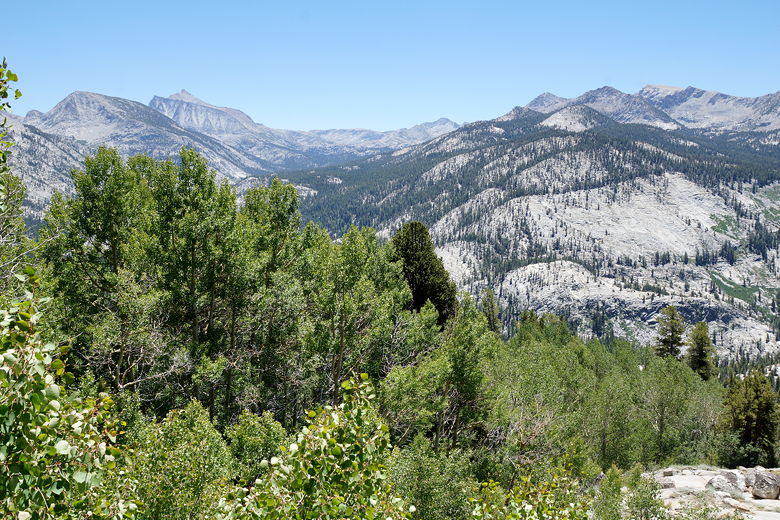
Mountain view
Descent from Bear Ridge
Descent from Bear Ridge
Mountain view
At one point around here we noticed several people with their cell phones out.
Apparently this is one of the few places in the area with reception. I
didn't bother, knowing we'd be at Muir Trail Ranch tomorrow anyway.
We passed some guys soaking their feet in one of the small streams. That looked
nice. We kept going a little further, passing a trail
intersection, then shortly coming to a great place to stop by Bear Creek.
The creek was wide here, just before flowing into cascades below. We all
walked right into the creek here (with our water shoes on) and took a long
break, cooling ourselves on this hot day.
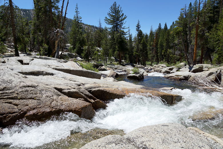
Bear Creek cascade
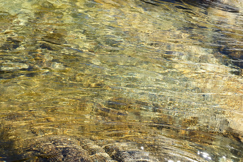
Waters of Bear Creek
Bear Creek
We stopped at 2pm and didn't get started on the trail again until about 2:45pm.
Two young men and their father passed by; I think these were the same ones
we saw soaking their feet earlier. From here it was a pretty easy 2 miles
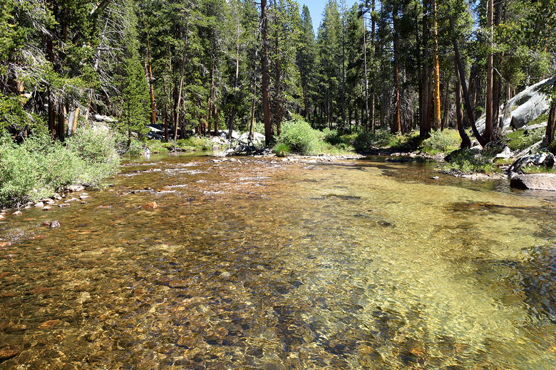
to the Lake Italy junction. Another 1.3 miles slightly uphill brought
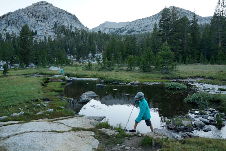
us to another intersection and a crossing of Bear Creek.
Bear Creek
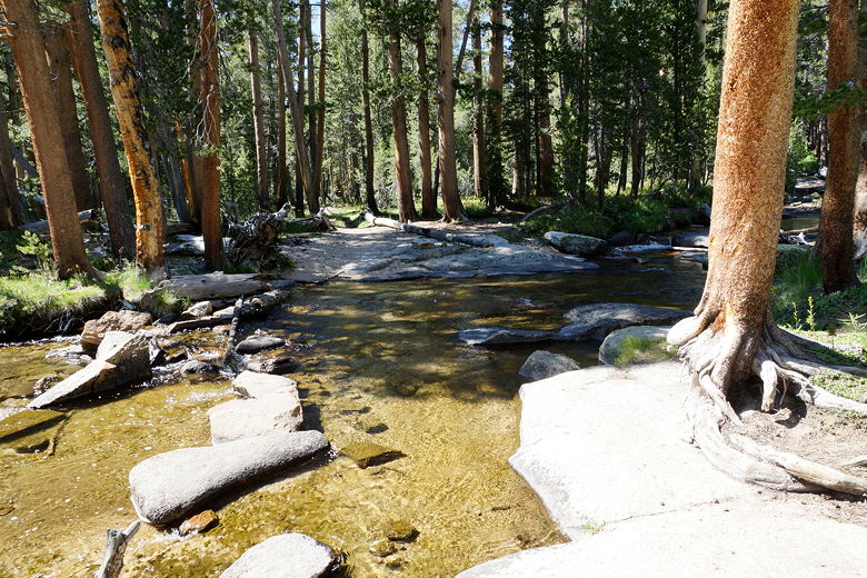
Stream crossing
We took a break here, while several hikers converged. A large group
came through and I took their picture by one of the signs. They
crossed the creek, one of them apparently falling briefly into the water.
There was a solo hiker here, and Tim and Michelle came just as we
crossed. The water was running just enough that we weren't sure if
we should use our water shoes or just rock-hop across. We decided against the
water shoes, crossing with
our boots. I almost made it across unscathed, dipping one boot in
the water briefly, but it quickly dried. Earlier in the season
or after some rain this would definitely require water shoes.
Bear Creek crossing
We hiked another 1.4 miles that, while more steeply uphill, didn't seem
that hard. In fact, Jared had so much energy that he decided he
wanted to do parkour on some of the rocks next to the trail. It
looked pretty impressive with hiking boots, but we told him it probably
wasn't a good idea out here. Soon, we reached two junctions one right after the other,
stopping at Rosemarie Meadow which is right at the Rose Lake
junction. We found a nice campsite nearby with views of the
meadow and surrounding mountains.
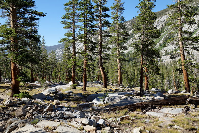
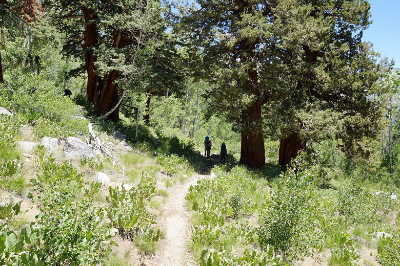
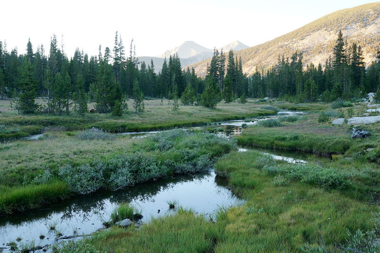
Open forest on way to Rosemarie Meadow
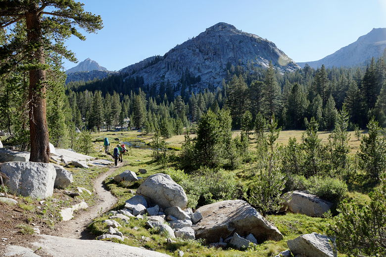
Entering Rosemarie Meadow
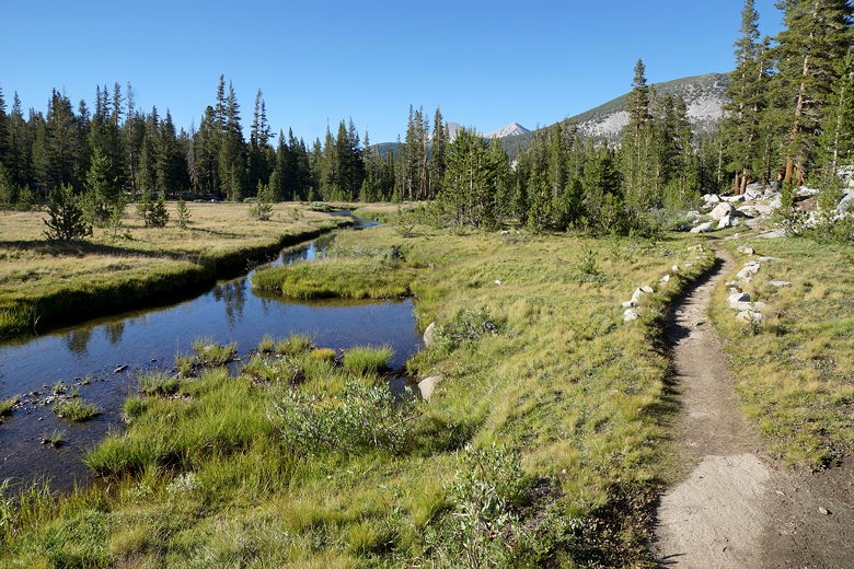
Looking back along the trail at Rosemarie Meadow
Rosemarie Meadow
The solo hiker we just passed came by. We asked him if he was going to camp
nearby, but he said he wanted to get above treeline. I guessed that
probably meant Marie Lake, though that's not completely above treeline.
Tim and Michelle came later and camped just before reaching us. I don't
think anyone else was camping in the vicinity.
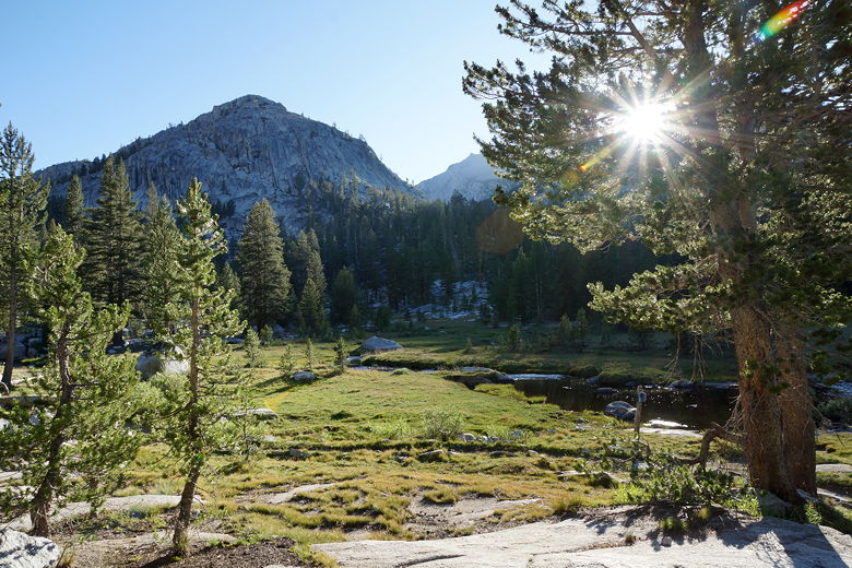
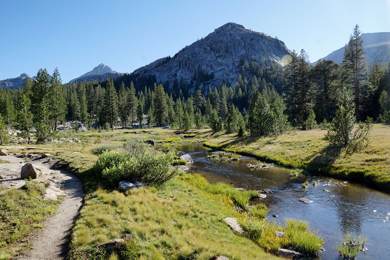
Sun shining on Rosemarie Meadow
View across the meadow
There's a sign near the intersection that says "Meadow on rotation schedule".
I have no idea what that means; if you search the web you'll find others
who have no idea, either. Maybe a ranger should just take the sign down or explain it.
It was great having a sunny campsite late in the day for once, but it
didn't last long as the sun disappeared over a mountain around 7:15pm. Mosquitoes
were a bit of a bother here, about the only place on the JMT that they were
much of an issue. On the flip side, we could see fish jumping out of the creek
running through the meadow.
Watching the fish jump
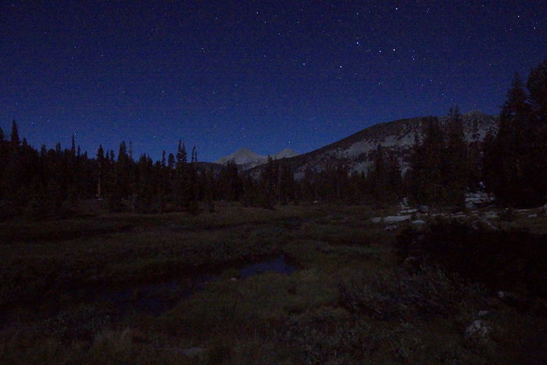
Stars above Rosemarie Meadow
Since we'd be at Muir Trail Ranch the next day, I started to put together stuff
that I thought we should ship back home.
| 

