|
Most of the other campers left Lower Palisade Lake early. We took our time, taking
advantage of our work yesterday
afternoon, finally getting started at 9:25am.
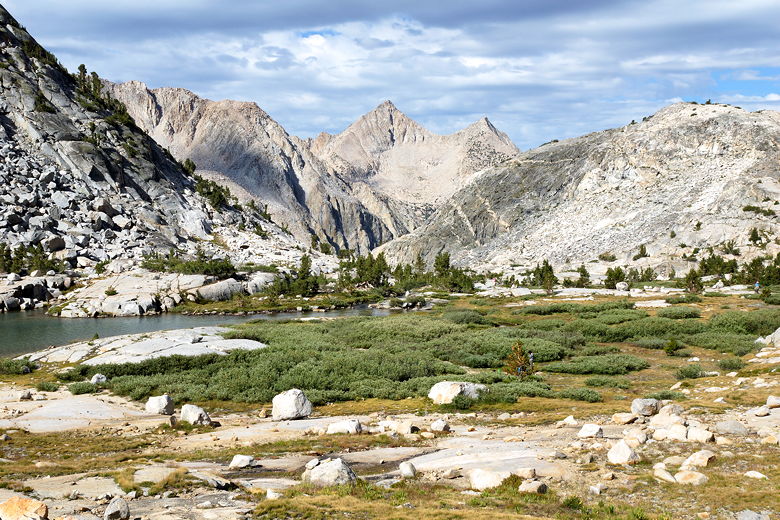
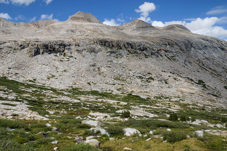
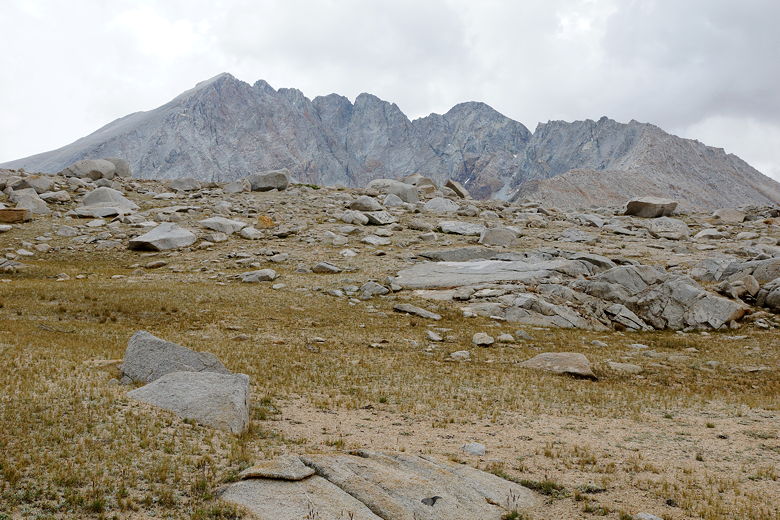
Mountains southwest of Lower Palisade Lake
There were clouds from the start, but we knew we had plenty of time to
reach the top of the pass. The climbing started immediately, then
briefly leveled off as the
trail climbs next to Lower Palisade Lake on the way to Upper Palisade
Lake. It never quite reaches the higher lake, instead staying high
above its shores. There are some camp sites high above the lake and,
no doubt, some sites away from the trail closer to the lake.
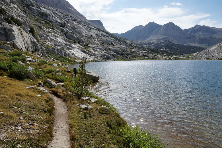
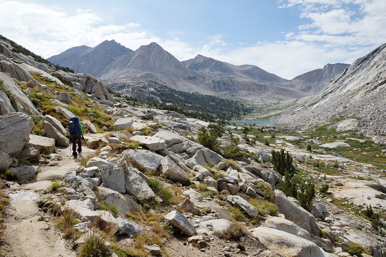
Hiking along Lower Palisade Lake
Lower Palisade Lake
Lower Palisade Lake
Hiking toward Upper Palisade Lake
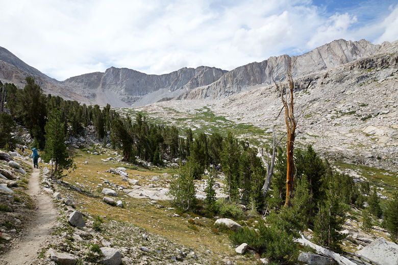
Hiking toward Upper Palisade Lake
We stopped around 10am for second breakfast near the upper lake.
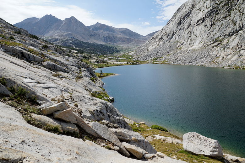
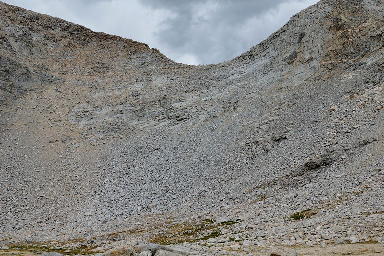
After passing the lake, the trail turns up into the talus and the
steep rocky switchbacks begin. It's about 1400 feet of climbing
from the lower lake up to the pass, about 1200 of it after the
second lake. We made slow but steady progress, never stopping again on the
way up.
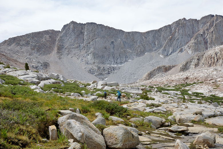
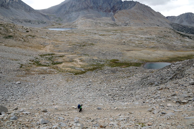
Continuing the climb
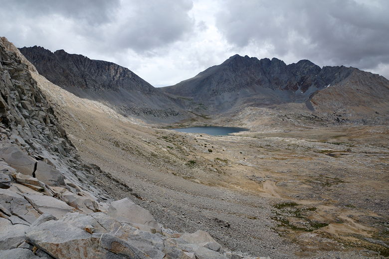
Looking back down at Upper and Lower Palisade Lakes
Mountains near Mather Pass
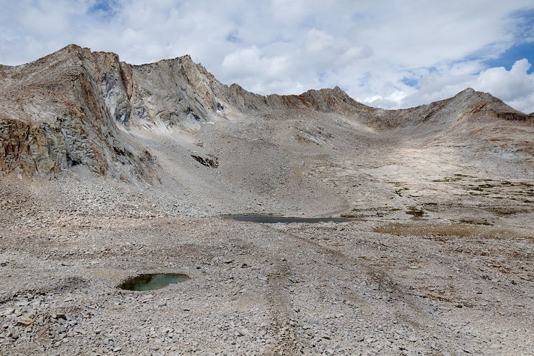
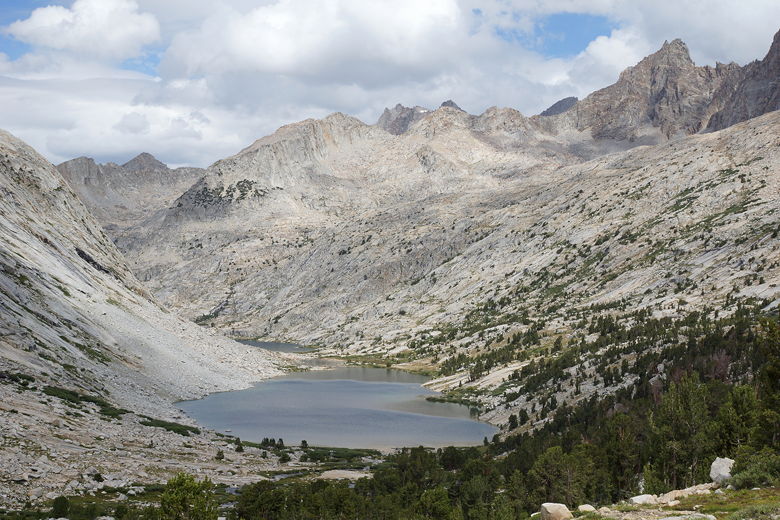
Lakes and mountains southwest of Mather Pass
We made it to the top of the pass at 12:30pm. If we had started at
Deer Meadow, we probably would have taken about 6 hours to reach
it. It was windy and cold at the top of the small,
narrow pass. The rain clouds started to close in, so we didn't stay
long, only about 15-20 minutes.
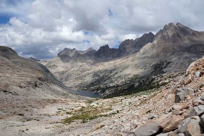
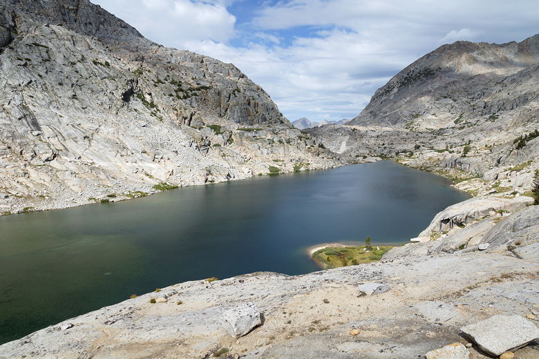
Looking down at Upper Palisade Lake
We now started the quick descent on steep, barren switchbacks on the other
side of the pass. It wasn't long until we felt a few drops of rain.
It would sprinkle a bit, but it never really rained on our way down.
The trail is quite amazing here, especially if you stop to look back up
at the pass - you'll wonder why anyone thought they could build a trail
here, it's so steep.
View to the south from Mather Pass descent
View to the east from Mather Pass decent
Descending the Mather Pass switchbacks
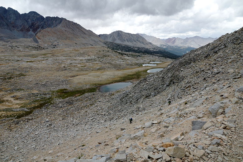
Descending the Mather Pass switchbacks
View to the south
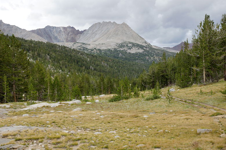
Mountain view
Looking back up at Mather Pass (where's the trail?!)
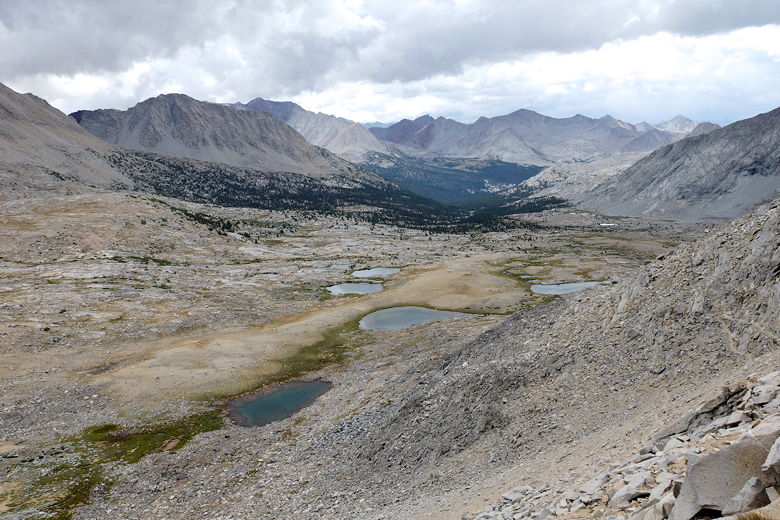
After switchbacking down the steep mountain, the trail veers off to the left,
then gradually curves back to the right. The descent becomes very
gradual, almost too gradual - flat in several places, in fact. It's
easy walking. I was still a bit worried because the storm clouds still
threatened and we were still far above tree line. But as I said, it didn't
rain on us on the descent though the skies were completely covered with clouds.
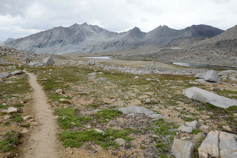
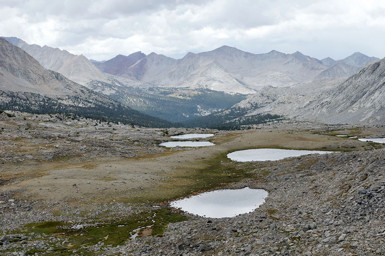
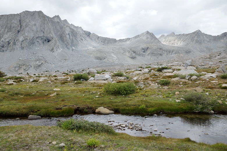
Upper Basin
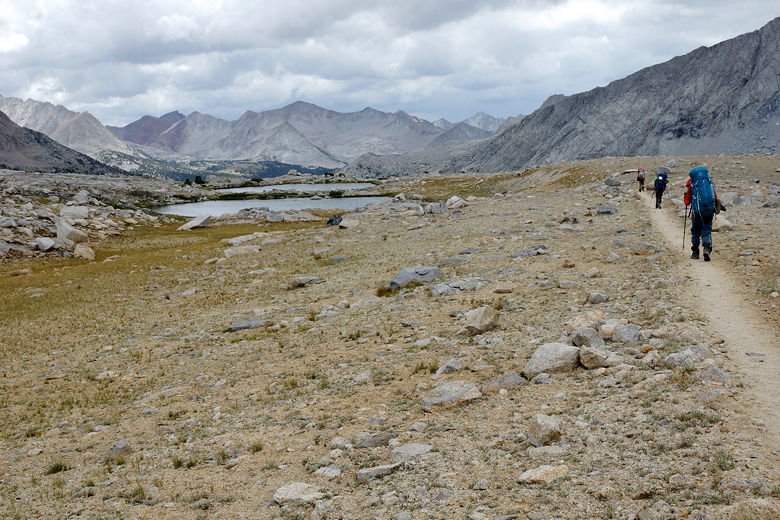
Passing through Upper Basin
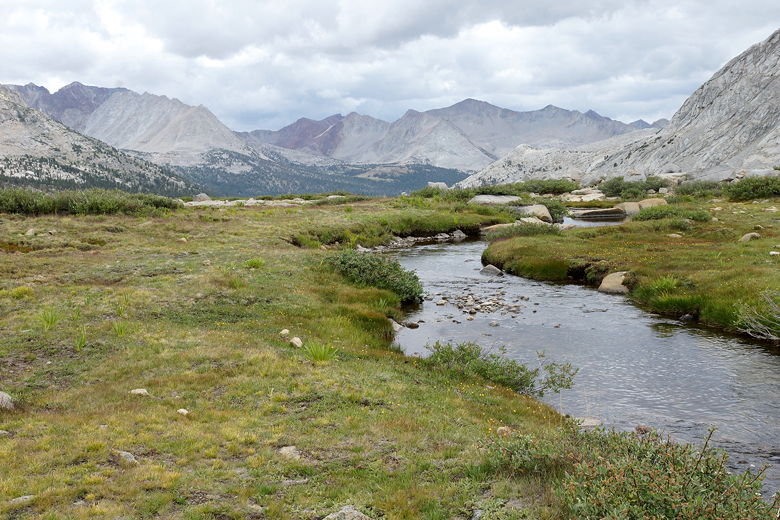
Stream feeding South Fork Kings River
Stream feeding South Fork Kings River
We took a break near tree line, where we confirmed our intention to stick with
the original plan, which was to camp at the South Fork Kings River crossing
near the bottom of the descent. Nathan wanted to continue past that, getting a
head start on Pinchot Pass for tomorrow, but my wife and I explained to him that
after 9 straight hard days, we needed a mental break more than
anything else. A day where we could get into camp early and relax for once.
Plus, we shouldn't have any problem reaching the top of Pinchot Pass before
any afternoon thunderstorms tomorrow.
So after our break we continued along the river, crossing streams a few
times. The descent was still gradual. We passed a couple campers and then
reached the river crossing we'd be camping near. We rock-hopped across
the river fairly easily, then came to a trail sign. A sign
here denotes the 10,000 foot mark, while another points the way toward Mather and
Pinchot Passes. We found a nice campsite just north of the sign, near the
creek. It was only 4pm.
Descending toward South Fork Kings River crossing
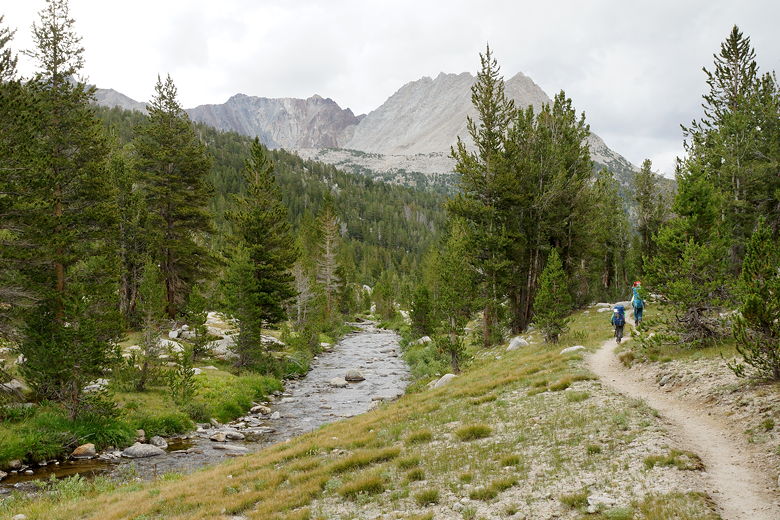
South Fork Kings River
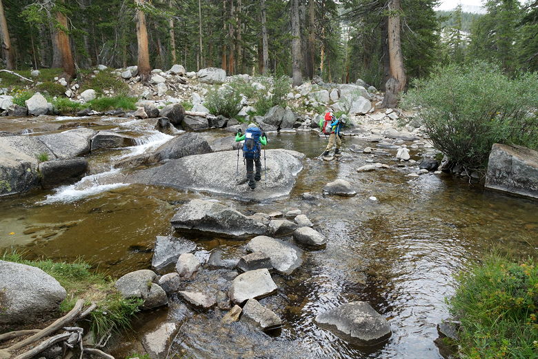
Crossing the South Fork Kings River
While we were there, another hiker came into our camp asking if we had a needle
and thread. Apparently his pack had broken and he was trying to fix it. We didn't
have needle and thread, but I did offer him my repair tape, which he used.
Hopefully it helped. Meanwhile, the rain started around 4:30pm; I'm glad we
set up the tent before that.
Everything was still fine until it started hailing around 5pm. The hail bounced and
slid off the top of the tent, forming a little collection of the white stuff near the
base of the tent. Jean was inside the tent while the rest of us were still
outside, waiting for the rain and hail to stop. It wouldn't stop for a long time.
After the hail came more steady rain. Puddles started to form on the ground
just outside the tent. We could see other campers stopping to set up camp,
one of them right across from us on the other side of the river.
It also started to get cold. One by one we entered the tent, cold, wet, miserable.
Or at least uncomfortable. I kept waiting for the rain to stop but it didn't.
I said that eventually one brave soul would have to go out in the rain and cold
and cook dinner. Well, at 8pm that brave soul turned out to be me (though I
didn't feel very brave). It was still cold, though it was mostly just sprinkling
by now. I cooked our dinner outside, handing it to everyone else so they could
eat inside the tent. (I know that's discouraged in bear territory, but given the
conditions they weren't coming out.)
We stripped off our wet clothes, tried to ignore the puddle underneath the tent,
and went to sleep. Despite all the rain and the water under the tent, our
sleeping bags were dry, the tops of our sleeping pads were dry, and we could
consider ourselves lucky for having set up before the rain started. But,
remember we were supposed to get into camp early and relax? Not a chance.
| 

