|
It rained off and on throughout the night, though not heavily.
We stayed mostly dry, though the tent was very wet when we
packed it up. It was still cold and a little drizzly in
the morning.
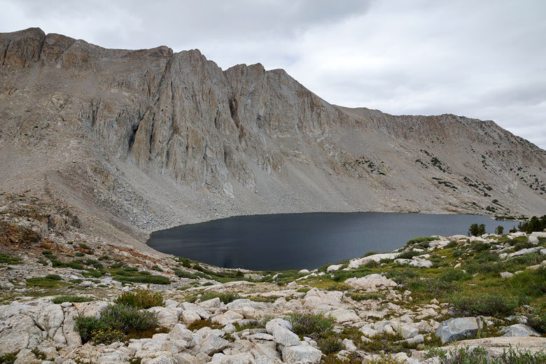
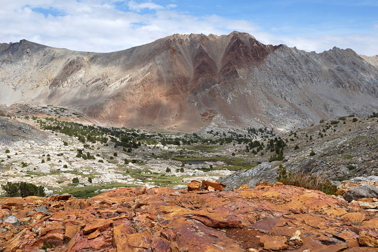
I noticed that the rock I had stood on to get water from
the river yesterday was now submerged under a couple inches
of water. It had been well above the water yesterday.
As if to highlight the point that the creeks and rivers
were rain-swollen, apparently the river crossing we had
used yesterday was no longer viable. Instead, hikers were going
upstream and crossing right into our campsite.
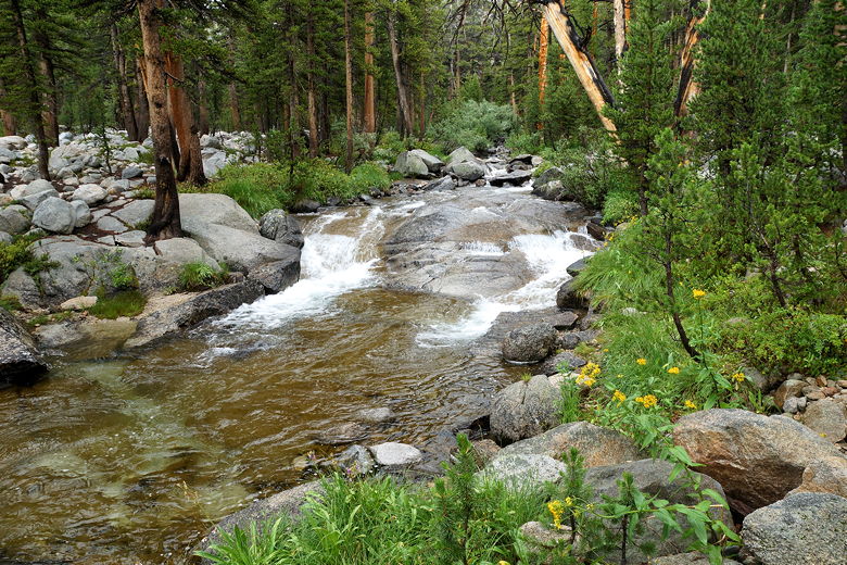
Rain-swollen South Fork Kings River
One of those hikers was the woman we'd seen two days ago before
Deer Meadow. She said she had a satellite phone and had heard
that the weather forecast for the next 3 days was 40%
chance of afternoon thunderstorms, just like yesterday, and
that she was not happy and was hiking out over Taboose Pass
today. She had done a big 14 mile day (with probably 3300 feet
of climbing) yesterday from Deer Meadow
all the way to close to where we camped. I am guessing she
had been caught in the hail before setting up camp.
I couldn't help thinking that if she had gone on to Lower
Palisade Lake, like we had, maybe she would have had a
different outcome. I did remember she had planned a resupply
at Onion Valley, so maybe she re-entered a few days later.
After she left, the man camping across the river from us came
across. He said he had talked to her and was also hiking
out over Taboose Pass. I didn't want to, but I felt compelled to ask
my family the obvious question: did any of them want to hike
out, or should we continue? After a very brief discussion,
we all agreed we wanted to keep going. Despite how cold
and miserable we had felt yesterday while it rained and
hailed, we had come through fine. We had all our rain gear,
and it was working. We also realized that 40% chance of
afternoon thunderstorms could mean a storm, or it could
mean nothing. And we knew that we'd feel worse if we
gave up and hiked out. In the end it was a unanimous and
pretty easy decision to continue.
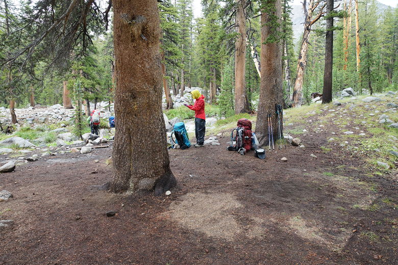
Rain-soaked campsite
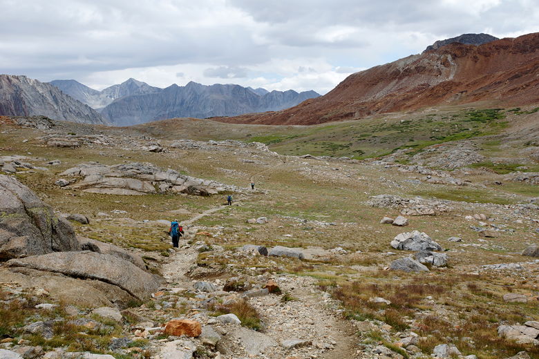
So we packed up our soggy tent and got going at 9:23am.
It was still drizzly. We made the roughly 700 foot
climb up to the Taboose Pass intersection (hiking
out is not easy, either, as it involves a 12 mile hike
from here to the trailhead). Along the way we
started shedding layers as it warmed up, the drizzle
stopping at 10am. We met 3 hikers here who said
they'd heard there was just a chance of lingering
showers today, and then not much tomorrow.
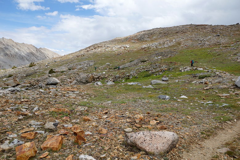
We passed the Bench Lake ranger station and the spur trail to
Bench Lake. I asked the other hikers if they'd
read the book "The Last Season", as it revolves around
a backcountry ranger who was stationed at Bench Lake.
It's a great read and highly recommended, especially
for those who have hiked in the area.
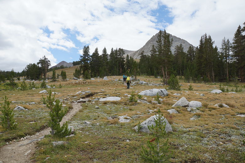
Near the Bench Lake junction
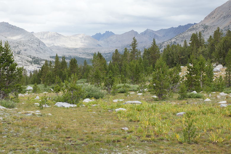
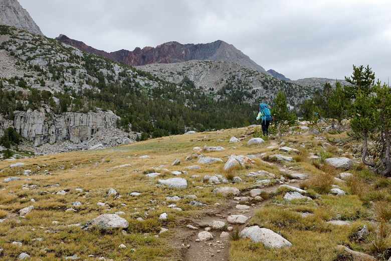
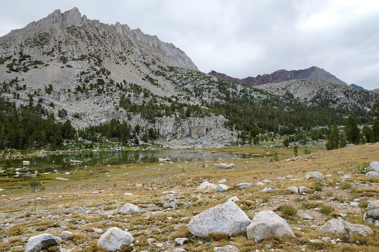
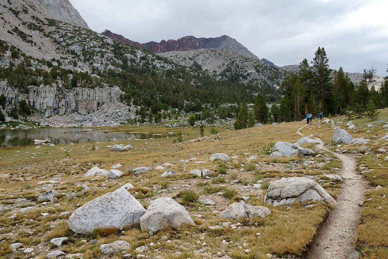
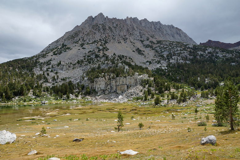
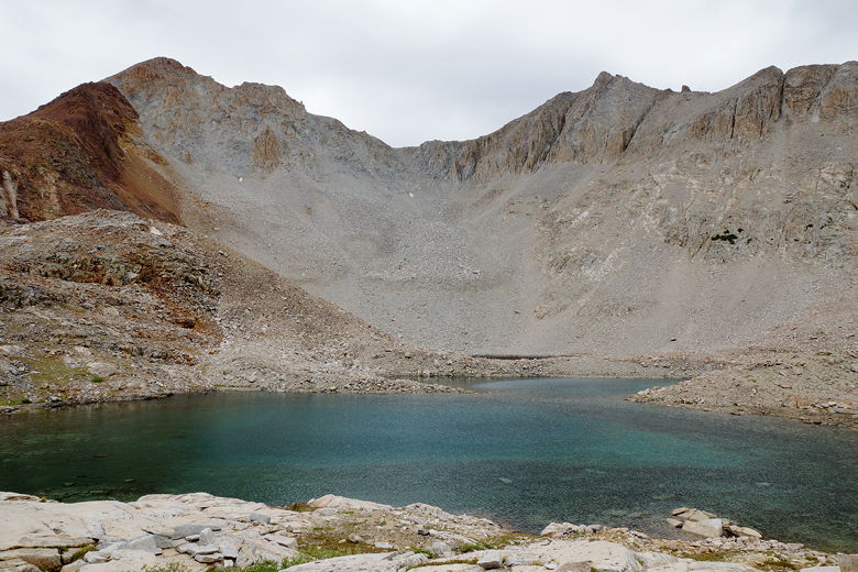
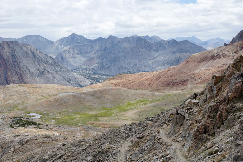
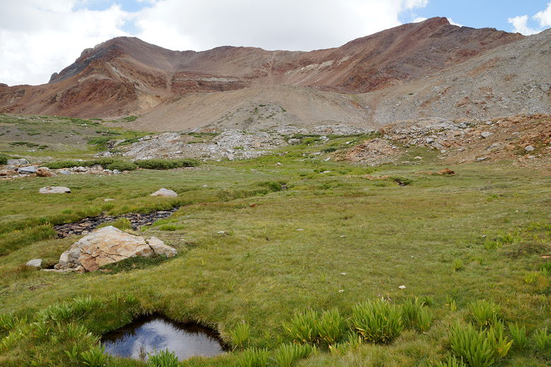
The climb from here is pretty gradual. We passed some
small unnamed lakes, and then came to Lake Marjorie.
We stopped here for a break at 11:25am. We took
the opportunity to bring out our tent's ground cover,
laying it out on the rocks to dry. After flailing about
in the wind, it was probably dry in about 10 to 15 minutes.
Looking back north
View to the west
Hiking toward Lake Marjorie
Unnamed lake
Hiking past the unnamed lake
Mountain above unnamed lake
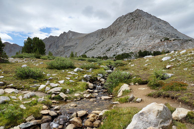
Mountain stream
Stream
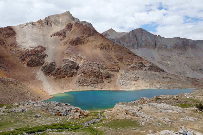
Lake Marjorie
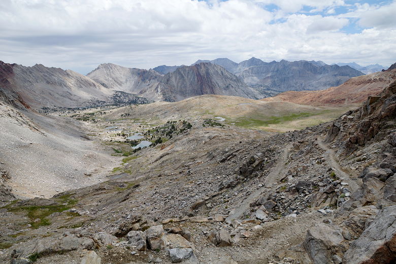
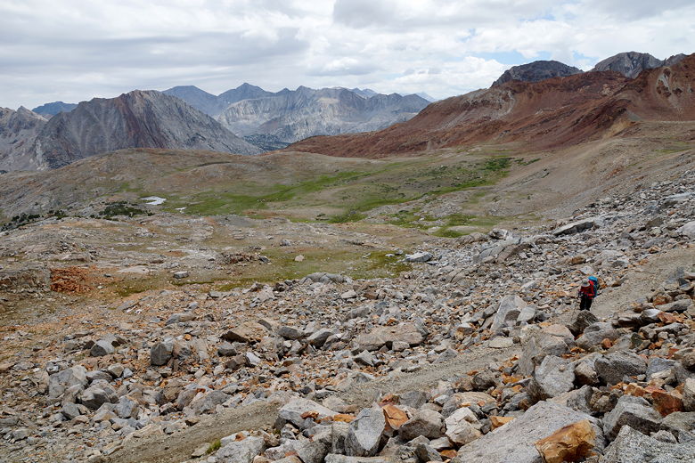
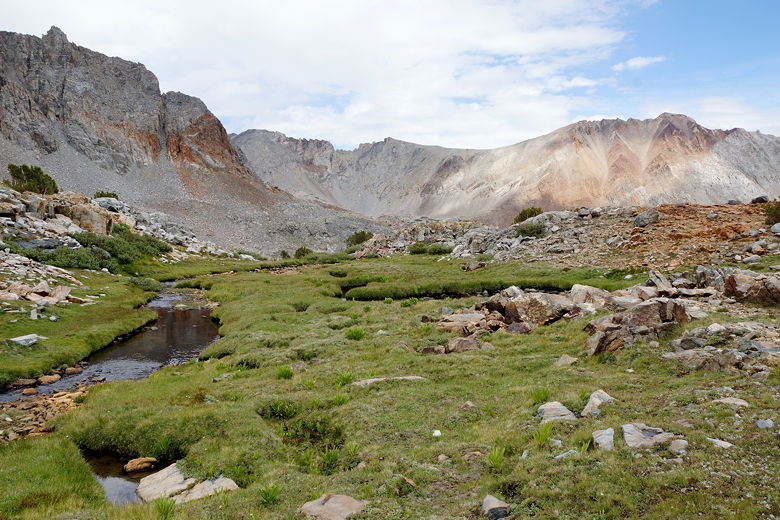
After our break, we still had about 950 feet to climb.
It was somewhat steep, but not nearly as bad as Mather Pass.
There are even some flat parts on the climb. The
rain clouds never really threatened us on the way up.
We reached the windy top at 1pm.
Lake Marjorie
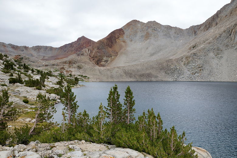
Unnamed lake on the way to Pinchot Pass
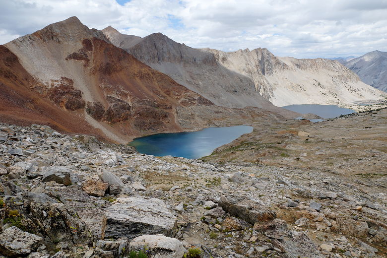
Looking back at Lake Marjorie
Looking back at Lake Marjorie
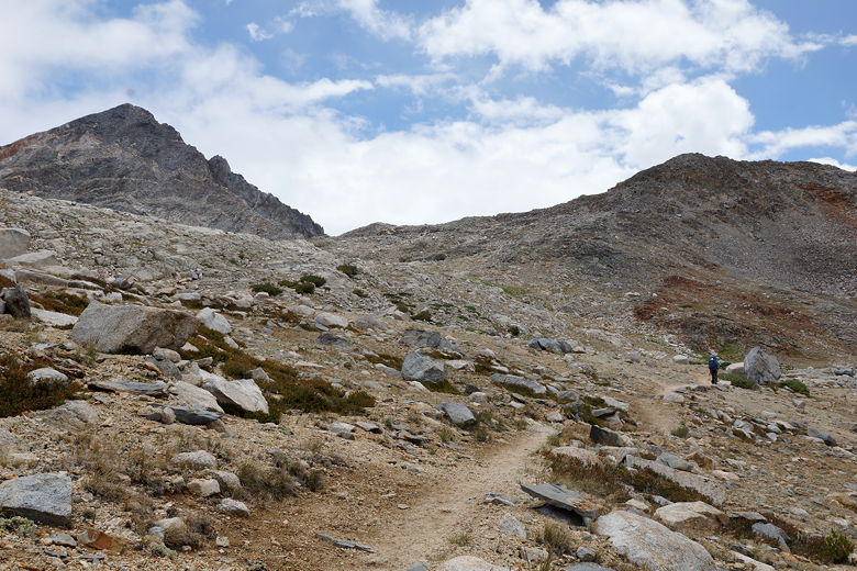
Climbing toward Pinchot Pass
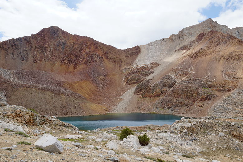
Unnamed lake
Unnamed lake
Unnamed lake and Marjorie Lake (far lake)
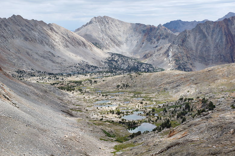
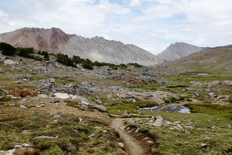
After a break, we started the descent at 1:30pm. It was
a steep descent but on good switchbacks. Once we reached some streams,
the descent became more gradual. Again, sometimes it felt almost too
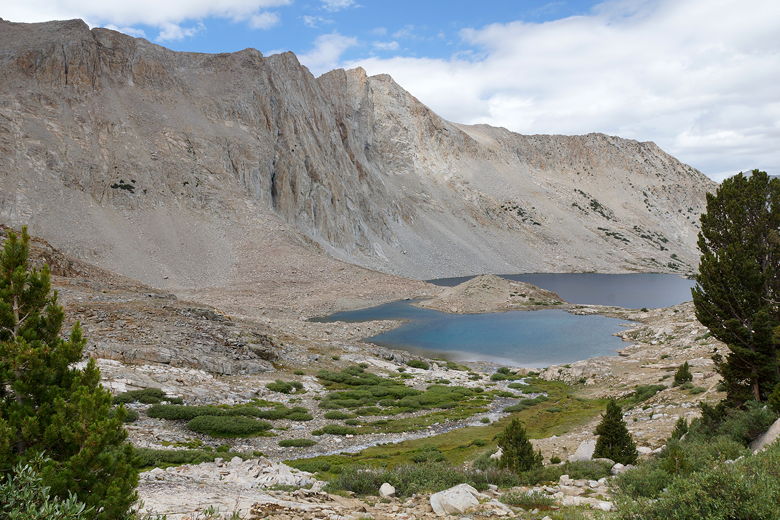
gradual. Eventually we reached Twin Lakes, though it wasn't easy to see
them. The trail passes high above the lakes, which are on the left
side of the trail as you head down. After descending past the lakes,
we reached a trail intersection (for Sawmill Pass) at 3:50pm.
View to the southwest from Pinchot Pass
View to the southeast from Pinchot Pass
Pinchot Pass view
Descending Pinchot Pass
Descending from Pinchot Pass
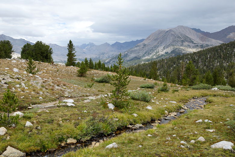
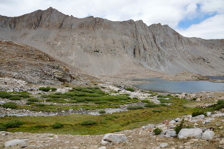
Mountains and meadow
Continuing the descent
Mountains, stream, and meadow
Continuing the descent
Continuing the descent
Once past the intersection, we started to think of possibly ending
the day early. Our goal for the day was to camp at the Woods
Creek crossing. But since we had such a short day tomorrow (about
6 miles), we were willing to add some more miles by doing less
today (especially since it was downhill).
As we were walking down, we started to see a lot of hikers coming
in the opposite direction (we'd hardly seen anyone in either
direction so far). I'm guessing many of them would camp
near Twin Lakes. One of the hikers was someone apparently doing
the PCT (or at least a large part of it). He said he'd been on the
trail for about 800 miles this year (he'd done 1300 miles last
year). He said his solar charger had stopped working and he asked
if we had any spare AA batteries. I did and gave two of them to
him. He was very chatty, telling me about losing his altimeter
watch and inquiring about mine.
It was sunny as we now descended along Woods Creek. The one campsite
I was thinking of taking was already taken. Other than that, it was
slim pickings. The terrain is steep on both sides of the creek.
Even more frustrating was the fact that the trail often went
steeply *uphill*. After I ran out of water near the end of the descent,
I was getting so frustrated I actually said out loud to my youngest
son, "I hate this trail...because it's NOT SUPPOSED TO GO UP!"
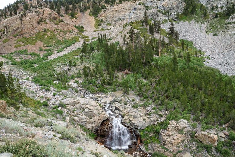
Woods Creek cascade
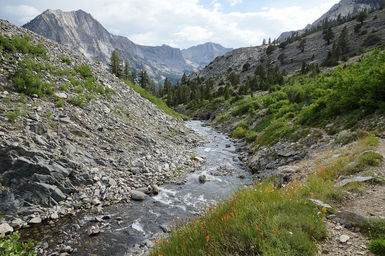
Woods Creek
We wanted to get in camp early so we could dry everything out and
wash our clothes, but it was not happening. We kept scanning for
campsites but they didn't materialize. Eventually we decided to
just stuck
with the original plan. We arrived at the Woods Creek crossing
and crossed the long suspension bridge (one hiker at a time).
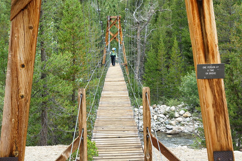
Suspension bridge over Woods Creek
When we got to the other side, we found a bustling little tent
city. Tents were crammed next to each other near the creek on the left.
It was crazy how close the tents were to each other.
There were more sites to the right; perhaps they were better
spaced. We found a site near the bridge and one of the bear boxes,
but I was sure we could do better. I ran ahead and started looking.
It wasn't long before I found a use trail to the right, leading to
a large, surprisingly empty horse camp that was well isolated
from all the other campers. I had to keep checking to
make sure that rock I saw wasn't a tent. Despite the fact that it
was a little far to get water, we happily took the site.
We still had time to dry out our tent and do a little laundry.
The rain we had worried about never really materialized. It was
mostly clear now. We were happy campers, looking forward to
seeing our friends (who were resupplying us) at Rae Lakes tomorrow.
| 

