|
It was another clear day when we woke in the morning. We ate breakfast
while watching a baby deer run back and forth near the creek below.
We said goodbye to Neil and Jon, who were hiking out over Kearsarge
Pass today. They would have a long tough day today, and would end
up having hiked four passes in their 4 day trip to resupply us - up
and over Glen Pass and Kearsarge Pass in both directions. We
truly appreciated their efforts!
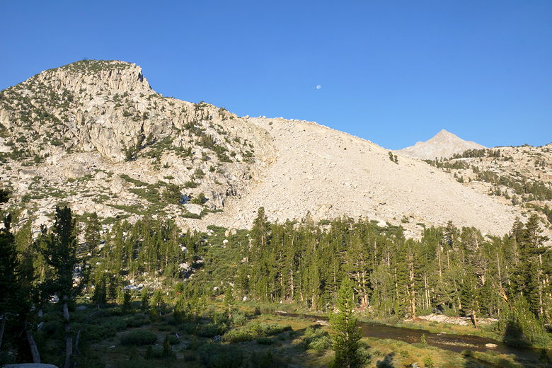
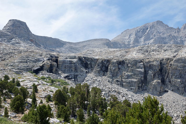
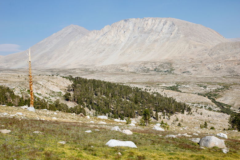
Mountains to the west of our campsite

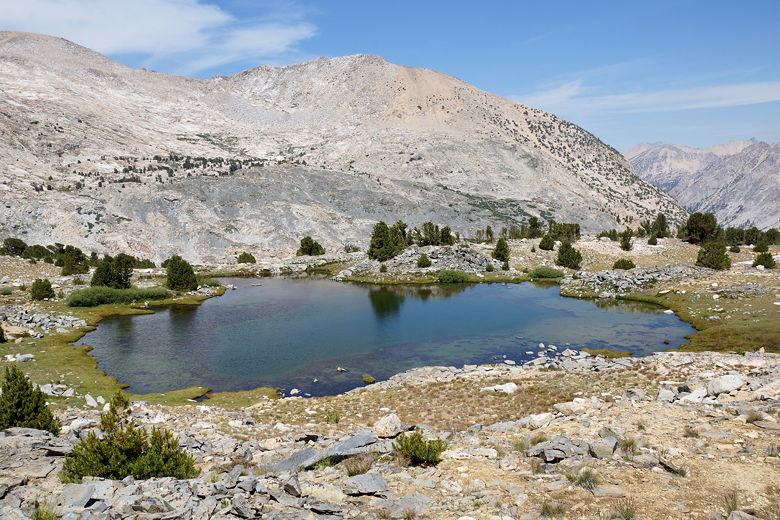
Mountains above Bubbs Creek
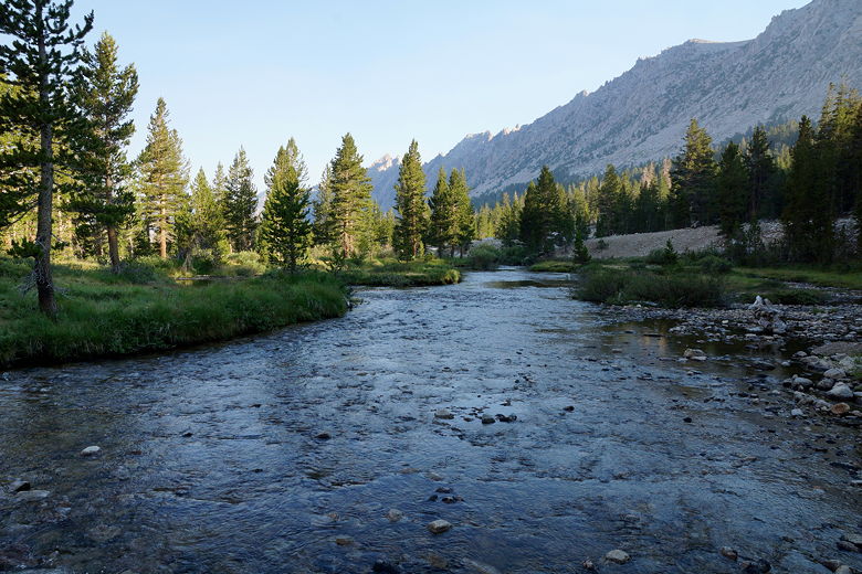
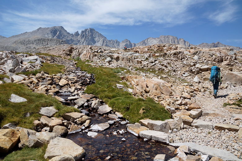
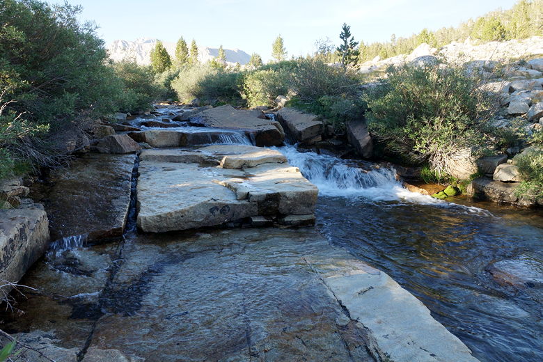
Bubbs Creek
We left camp at 9:40am, headed in the opposite direction, toward
Forester Pass, which would be the highest point on the trip so far.
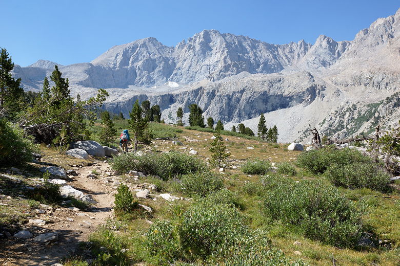
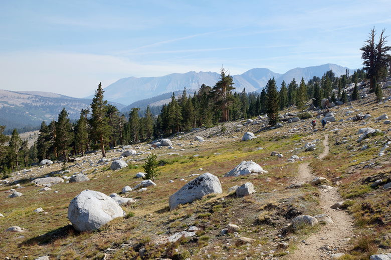
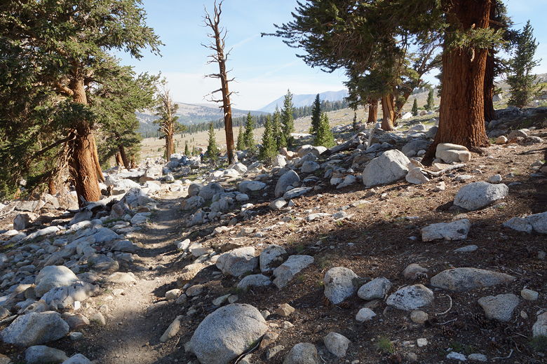
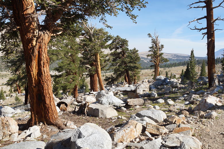
It was pretty much a steady climb from the start. We passed a few
hikers camped further up, but most had already left. The trail
starts in the forest but very shortly breaks out of it, providing
some great views of the surrounding mountains.
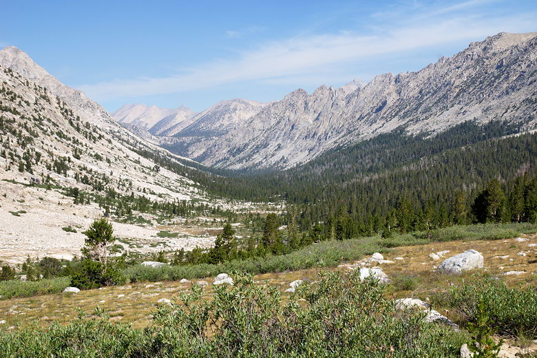
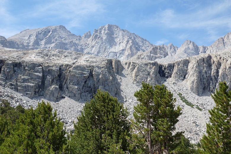
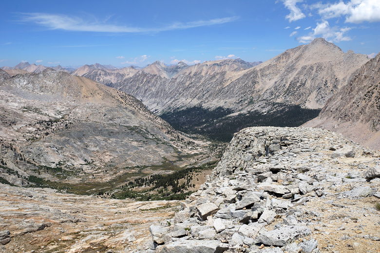
Looking back down Bubbs Creek valley
Today we played leap frog with a woman who had injured her foot.
Her hiking companion had become injured and hiked out, but
she kept going, though she was going noticeably slower than she
otherwise would have. She said she had entered at Agnew Meadows
and was on the same remaining schedule as we were. Today's
goal was Tyndall Creek. But first, we had to get over Forester Pass.
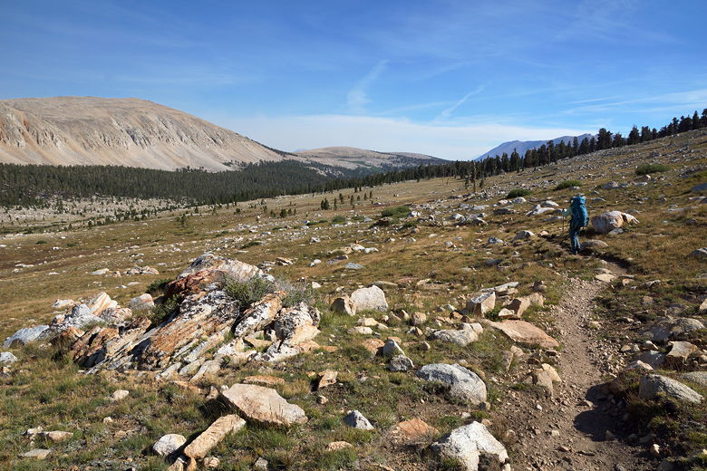
We had second breakfast at 10:15am, then continued up into the talus
above tree line. We still had nearly 2000 feet of climbing to go
(we'd climb about 2600 feet from our camp to the top of the pass).
We were a little surprised to see a day hiker heading toward the
pass; perhaps he was camped down at Vidette Meadow. He would
end up reaching the top of the pass and then turning around.
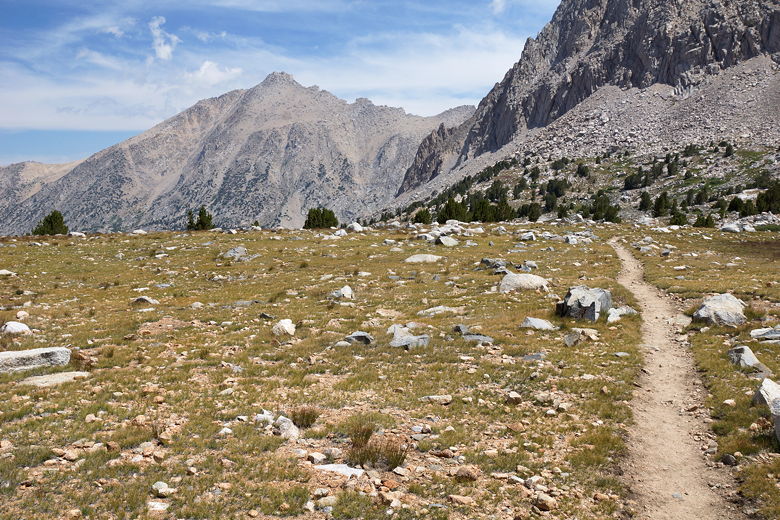
Heading up to Forester Pass
Mountains to the south
Mountains to the south
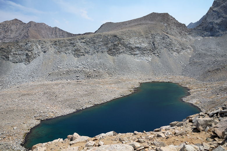
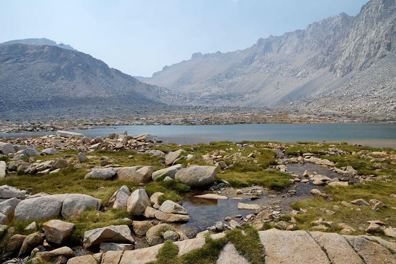
The trail makes a sharp left turn, becoming relatively flat for a while
as it passes a lake. I was surprised by how many lakes there were
heading up to the pass. The trail then heads back to the right and
starts a series of switchbacks on fairly good trail. We took another
break at 12:15pm before continuing on to the top.
Flat part of the trail
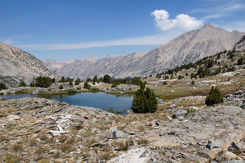
Unnamed lake
Unnamed lake
We saw a single patch of snow on the way up, perhaps the closest we
came to stepping onto snow the entire trip. The climbing continued
steadily; it was never very hard, just long. I did notice myself
slowing down just a bit near the top, as the limited oxygen may have
played a role. But soon enough we were at the top. As soon as we
got to the top, we saw a lot of smoke on the other
side. It pretty much blocked most of the views to the south.
I'm guessing this may have been caused by the Cabin Fire in the
Golden Trout Wilderness, which
burned over 6500 acres and started on July 19th.
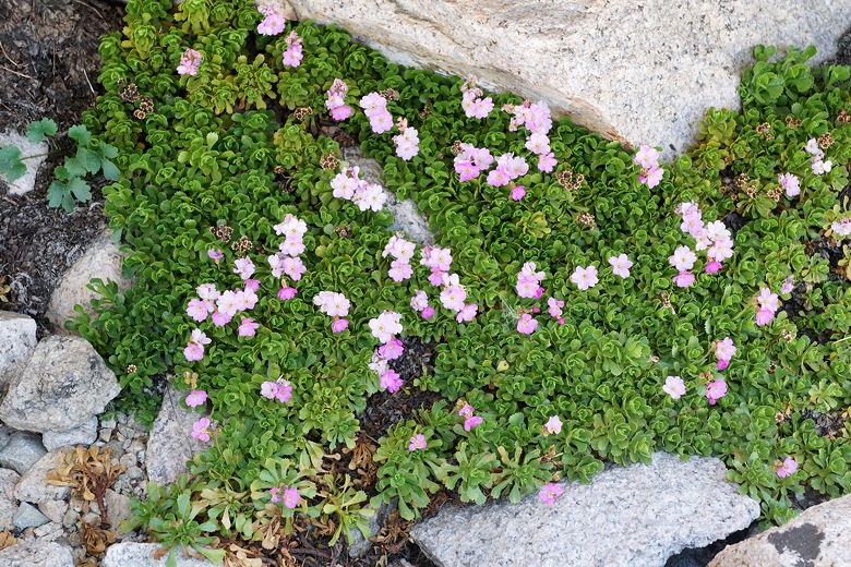
Flowers
High stream
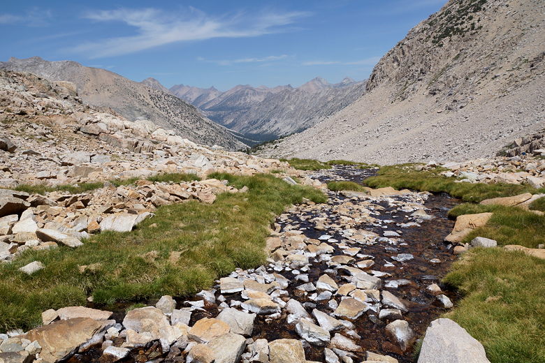
Stream flowing towards Bubbs Creek
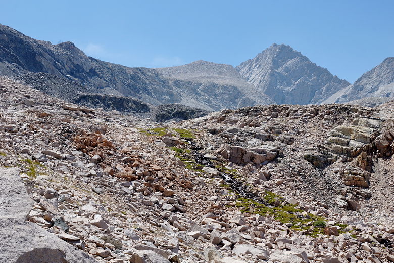
Climbing up past the stream
Looking back down the valley
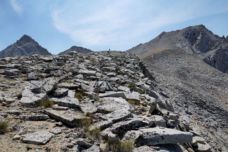
Approaching the final climb to Forester Pass
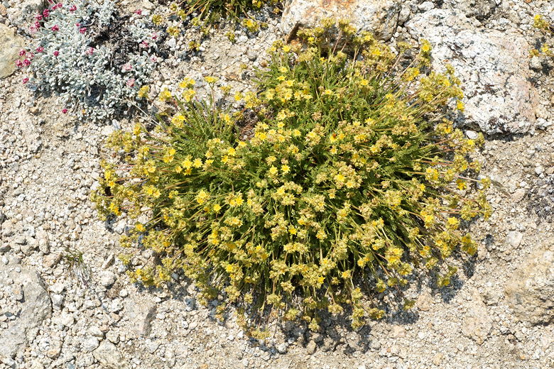
Flowers
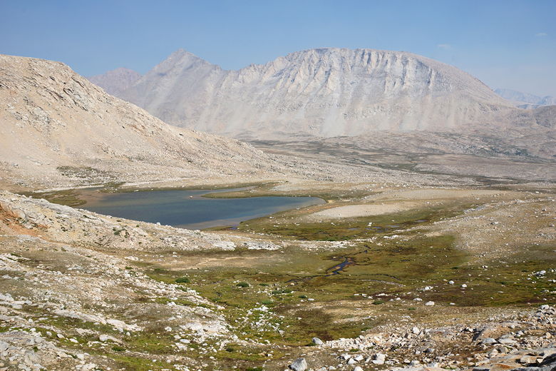
Unnamed lake near Forester Pass
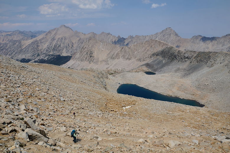
Final switchbacks up to Forester Pass
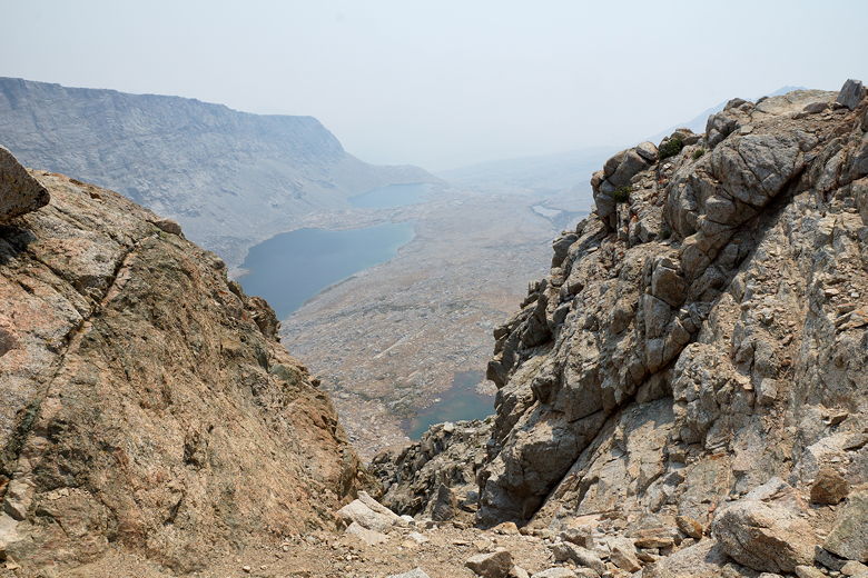
Smoky haze south of Forester Pass
We were joined by about a half dozen others at the top, including
the injured woman we'd seen earlier. After a break at the top,
we started the descent toward the smoke. It wasn't long before
we reached the scariest section of the trail on the trip. The mountain
drops down steeply to the right, with the trail cut right into the
side of the mountain. There's an almost sheer drop on the right.
This was probably the only time on the trip we told the kids to
be careful, and they descended a bit slower than usual to get past
this section.
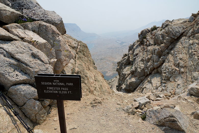
Forester Pass
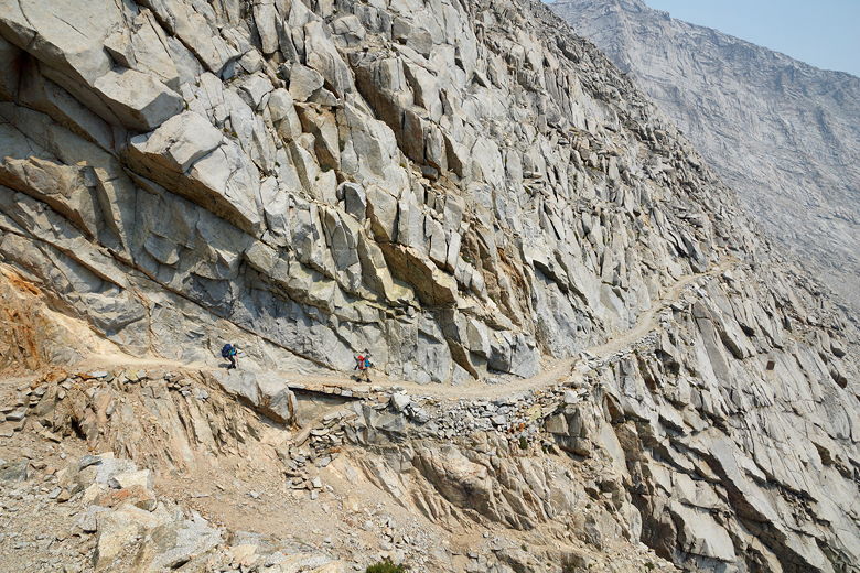
Narrow descent from Forester Pass
After a few minutes, the trail becomes more "reasonable", and continues
to switchback down the mountain. Eventually we reached the
"bottom", the first of a series of small lakes. The smoke was
still noticeable. We passed more of the lakes, and it wasn't until
about 4pm that the smoke mostly cleared up. At this time we
entered a beautiful pine forest, exited it, then entered another.
Haze from the fires still evident at first lake below the pass
Still hazy
Skies starting to clear as we approach the forest
Mountains to the east
Pine forest
Pine forest
Continuing the descent
We reached the Lake South America junction, then soon after that the
Tyndall Creek bear box at about 5:30pm, having descended about 2100 feet from the pass.
There were already several tents set up in the trees here. We
backtracked slightly and found a nice site on the left side of the trail,
away from the bear box.
The injured woman walked by around 6pm, then crossed the creek, probably
camping just a little further (we'd find a second bear box the next day).
By this time the skies were mostly clear and we had nice views of Tawny
Point and the surrounding mountains. Tyndall Creek cascaded by near
our camp. And we even had a little camp sunlight to enjoy today.
Tyndall Creek
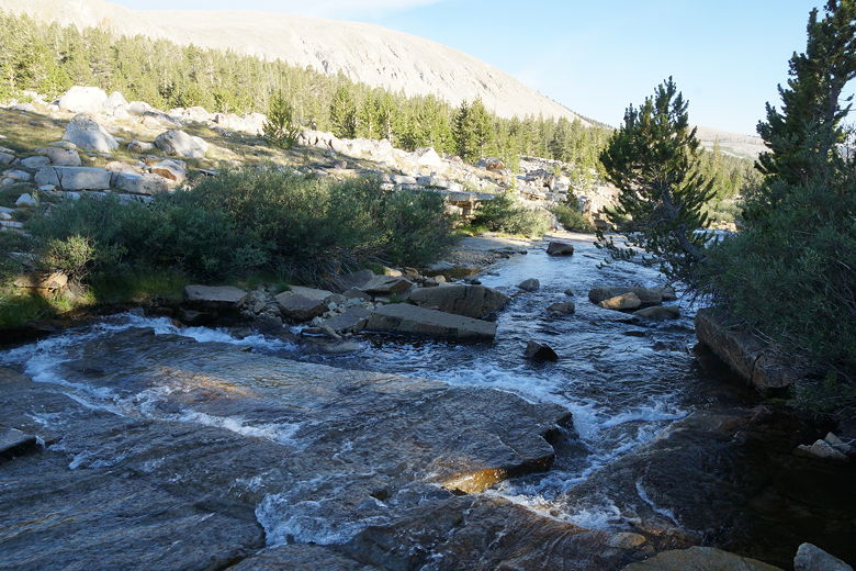
Tyndall Creek
| 

