John Muir Trail |
Day 20 of 22
During the middle of the night, I heard people come into camp late.
I didn't look at my watch, but I'm guessing it was 10pm or 11pm.
In the morning, I saw that they took the sites right next to the
bear box. Inexplicably, it looked like they were hanging their
food in sacks - 4 feet off the ground!
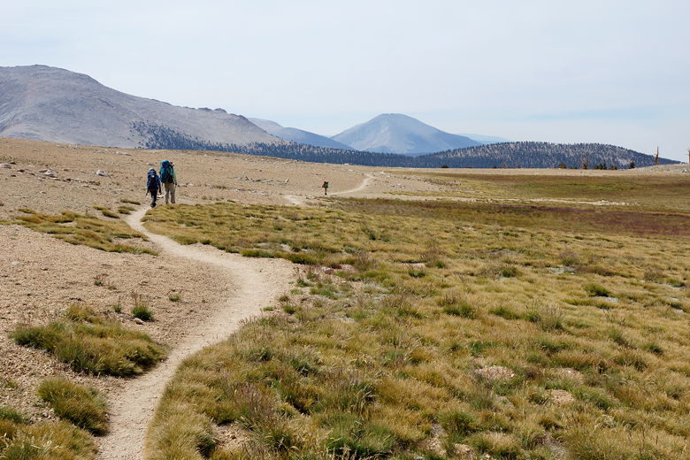
As we were getting ready, a stream of hikers passed our camp,
headed up toward Forester Pass. They were all carrying equipment
of some sort. I asked and apparently they were doing soil samples.
Just like yesterday, in the morning I saw deer (this time two of
them) running around, looking like they were just playing. The
skies were clear for now, though I could still smell a bit of
smoke from the fires.
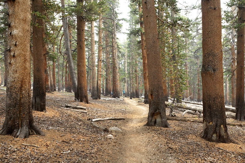
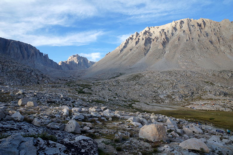
We got started at 8:55am, crossing Tyndall Creek and then climbing
steadily through the forest. We passed a second bear box where there
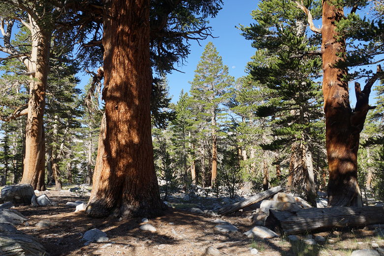
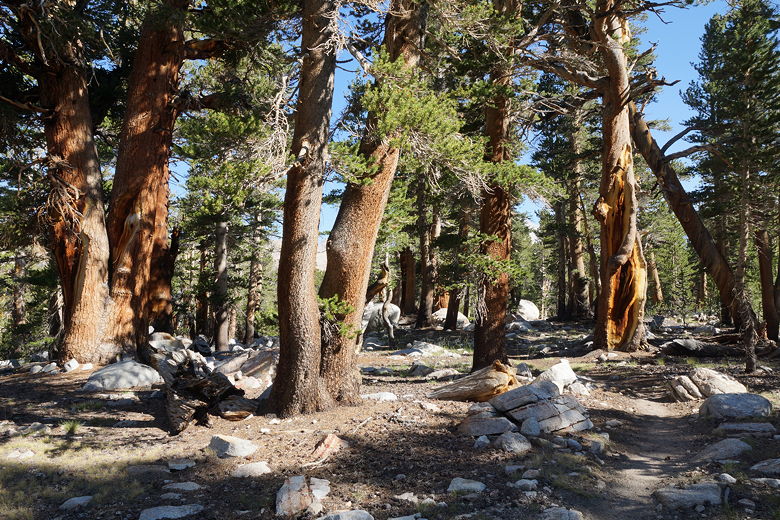
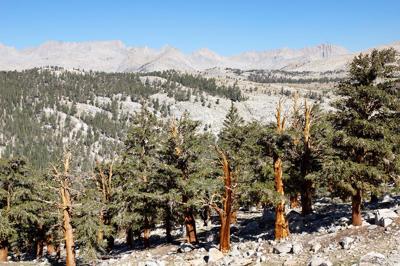
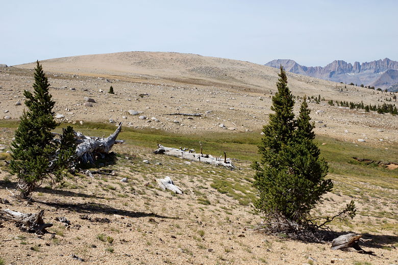
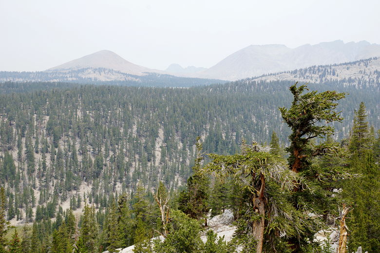
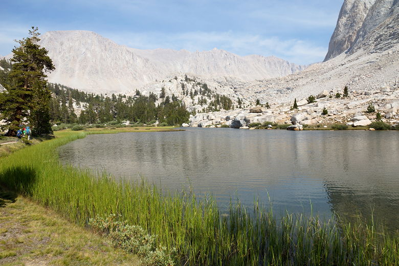
were vacant campsites. We passed through a pretty pine forest, then
emerged from the forest to find some great views of the mountains to
the west. I stopped here to take pictures as a large number of
hikers passed by in our direction.
Through the forest Forest View to the southwest Climbing toward Bighorn Plateau View to the northwest
Tuesday, August 4th
Tyndall Creek to Guitar Lake
11.6 miles
2320 vertical feet (ascent)
1820 vertical feet (descent)
7:52
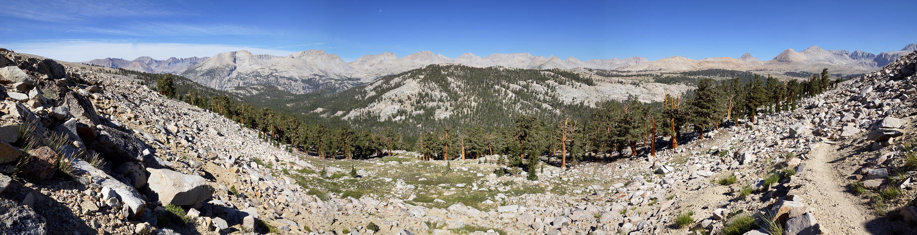
Panoramic view to the west View to the west Looking back at the trail to the northwest
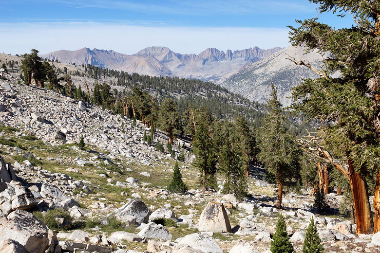
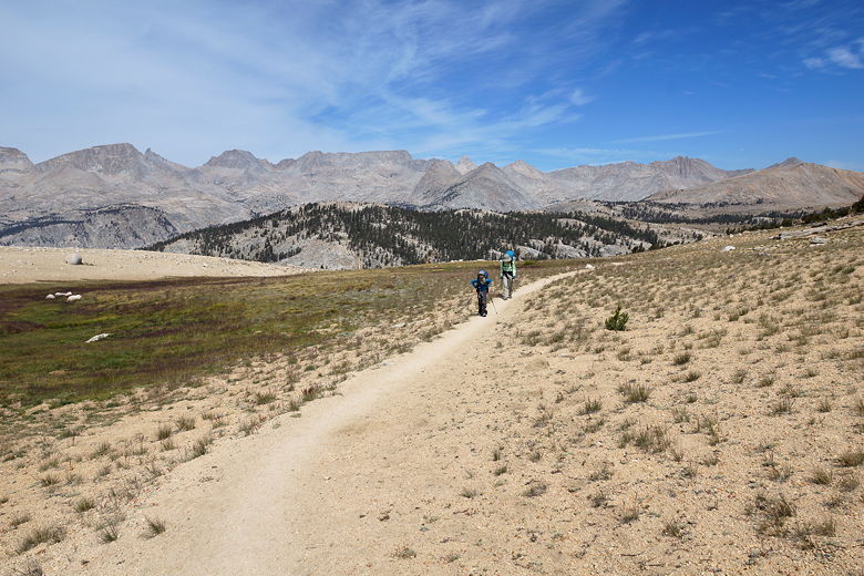
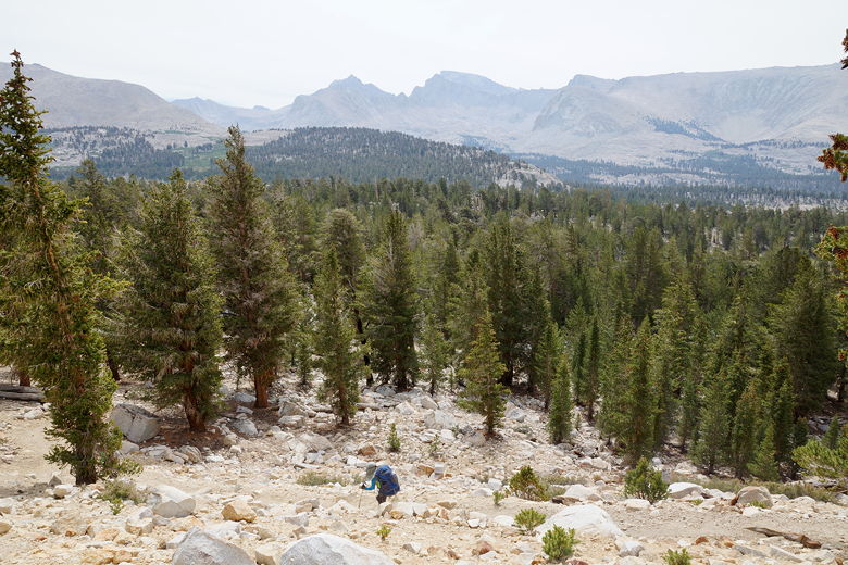
After re-entering the forest and having climbed for about 500 feet,
we took a food break on the
edge of the forest. Afterwards,
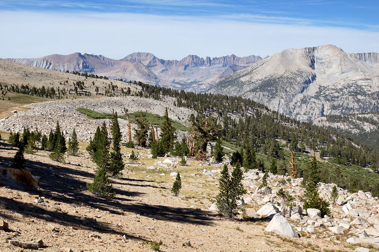
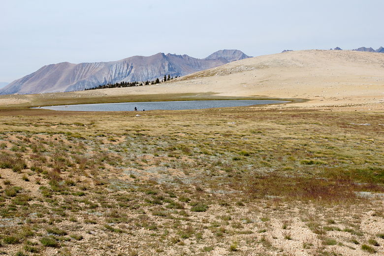
we emerged from the forest again and passed through mostly treeless Bighorn Plateau. We noticed two campers
packing up near the small lake here. The trail flattens out for a bit, then
starts a descent to Wallace Creek. We started to see more haze in the
sky from the fires again. It would get worse before it got better.
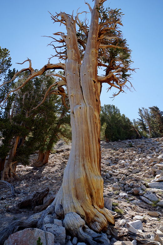
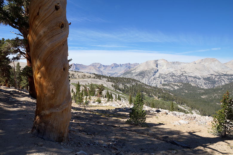
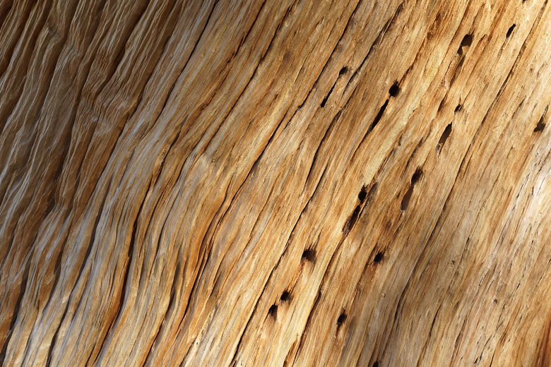
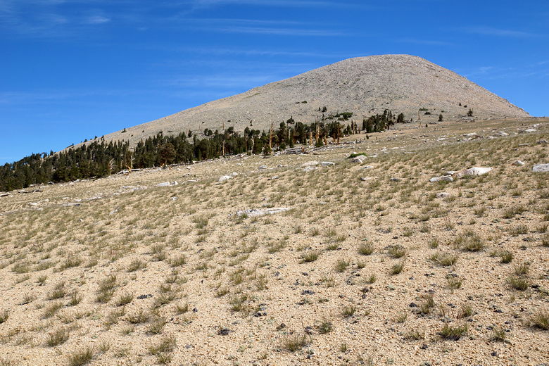
Pine tree Tree and view Bark close-up View to the southwest Approaching Bighorn Plateau Hiking through Bighorn Plateau Tawny Point Pond at Bighorn Plateau Hiking south on Bighorn Plateau
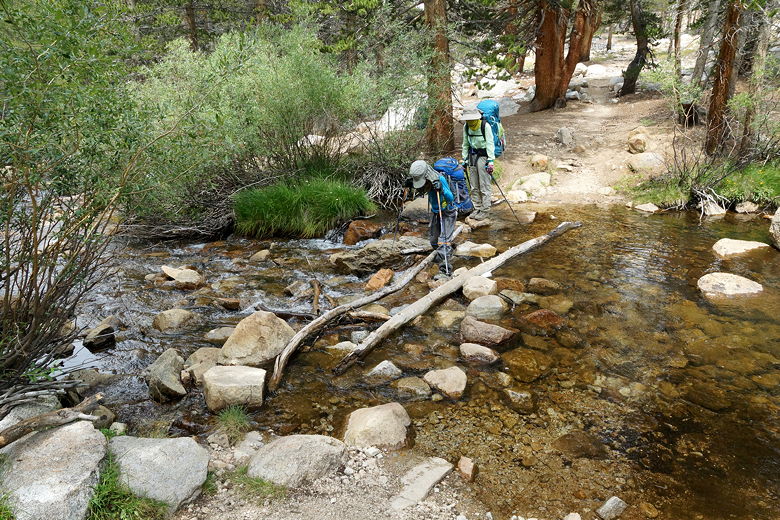
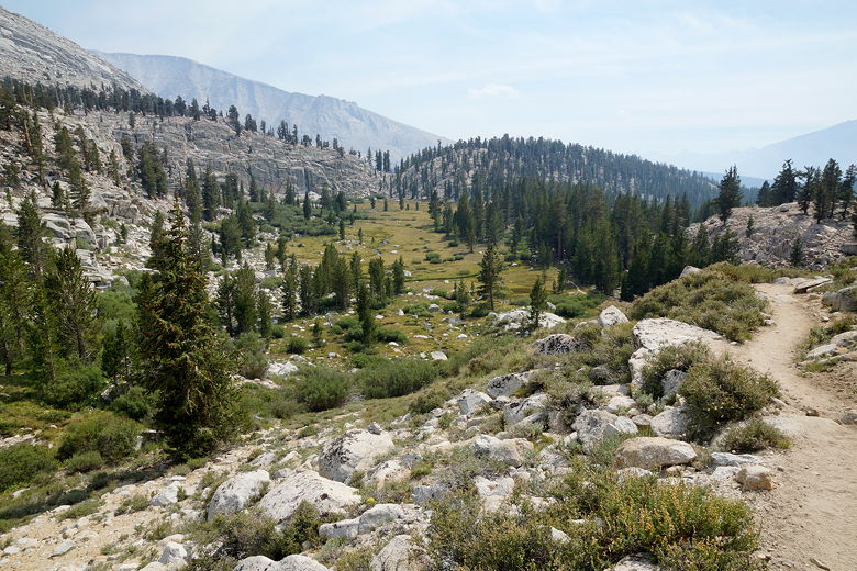
The descent to Wallace Creek is steep at times, especially toward the bottom.
We crossed the creek and braced ourselves for another climb. Today would be
an up and down day, with 4 different climbs. This second climb was about 550 feet.
After almost reaching the top of this climb, we stopped in the forest for a food
break. There weren't many views from here, but the sky was so hazy that we wouldn't
have been able to see much, anyway.
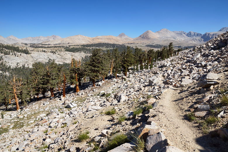
Descending from Bighorn Plateau Meadow and haze Easy crossing of Wallace Creek Hazy view to the west
After the break, we descended again. We passed an unnamed meadow, then were stopped
by a ranger. She checked our permit, asking how long we had been out here,
how many bear canisters we had (4), the ages of the kids, etc. I asked her about
the WAG bags and she told me there was a box at the ranger station junction.
She said that although they preferred us to take 1 each, if we knew we needed more,
it was ok to take 2. She said the fire was a 2000 acre fire to the south, and it
was even smoky on Whitney.
Hazy forest Through the hazy forest
Ten to fifteen minutes later, we ran into a man asking about the ranger.
He wanted to know if she had a backpack and looked like she'd be out for
a few days. Was she moving fast? He also took the time to ask me about
my solar charger, which seemed odd since he seemed like he wanted to catch
her and talk to her for some reason. It all seemed a little strange.
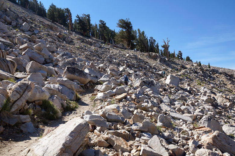
We made another brief climb (about 200 feet) before descending a bit to
reach the next junction. Here the PCT and JMT diverge, with the PCT
heading south to Crabtree Meadow. We turned left to stay on the JMT
headed toward Guitar Lake. The trail continues to descend a little before
leveling off. At this point the trail was flat and sandy and the air was
smoky and hot.
Less than a mile later, we reached the WAG bag box. Past this point, you're
supposed to use the bags instead of digging holes. Since we would be camping
two nights in the Whitney zone (Guitar Lake and Trail Camp), we picked up
six bags (we'd use them all).
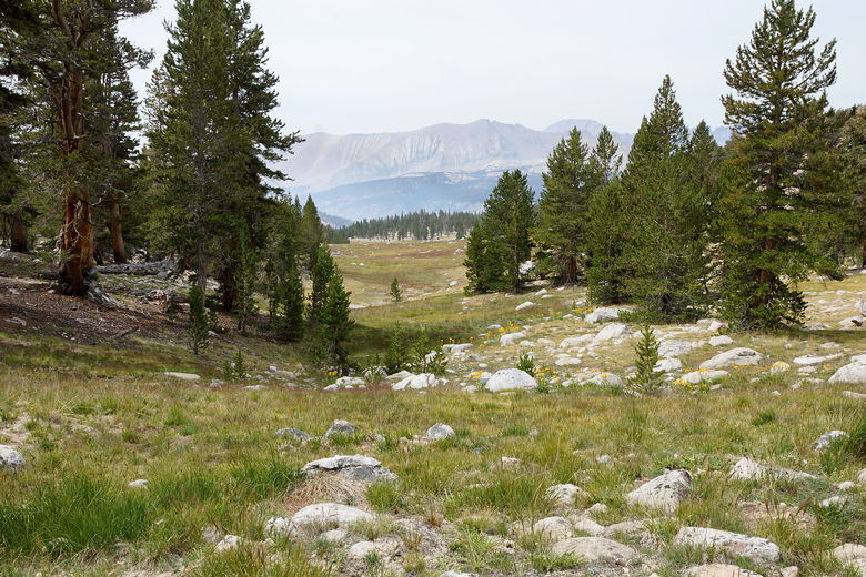
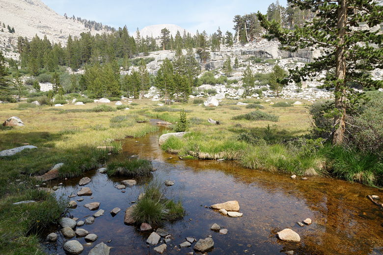
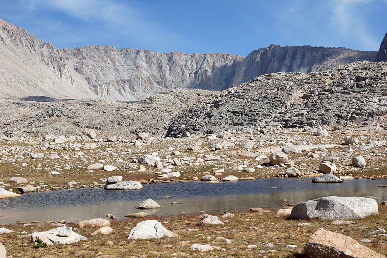
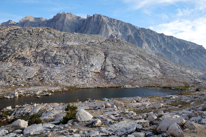
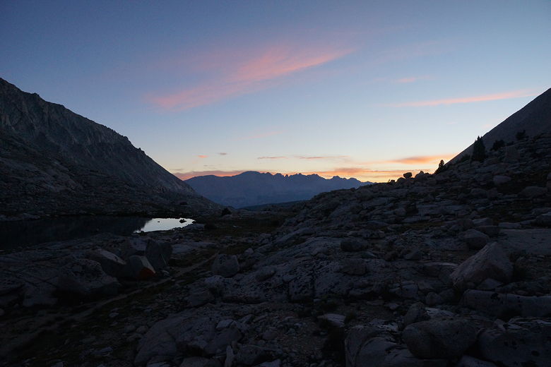
From here, the trail climbs almost 900 feet to Guitar Lake. Along the way we
stopped at Timberline Lake (still just below timber line) for a final break.
There's no camping allowed here. At least we noticed that the smoke had begun
to clear.
Climbing toward Timberline Lake Looking back, approaching Timberline Lake Timberline Lake
From here, we continued climbing,
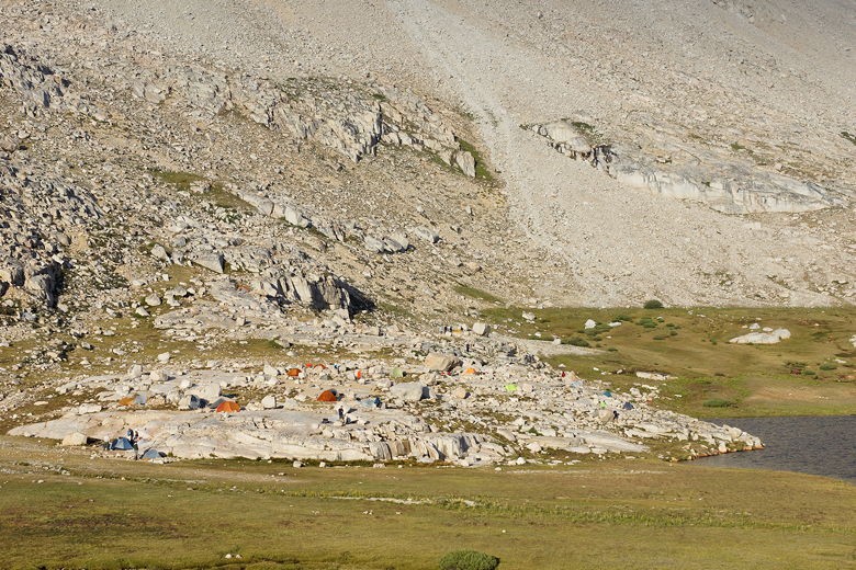
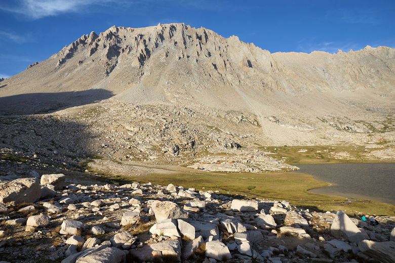
later passing a small pond and then seeing Guitar Lake below us. The backside
of Mount Whitney rises above the eastern shores of the lake. What I noticed
most, however, was the huge number of tents already set up. It was around
5pm and my first impression was that I had somehow landed at Everest Base Camp.
Tents were set up all over the knoll between the trail and the lake. Tents
were also set up well above the lake, along some streams to the north. We took
the use trail to the right (west) and then eventually scrambled uphill to find
a nice unused site with great views.
Pond before Guitar Lake Tents at Guitar Lake Mountains above Arctic Lake Guitar Lake
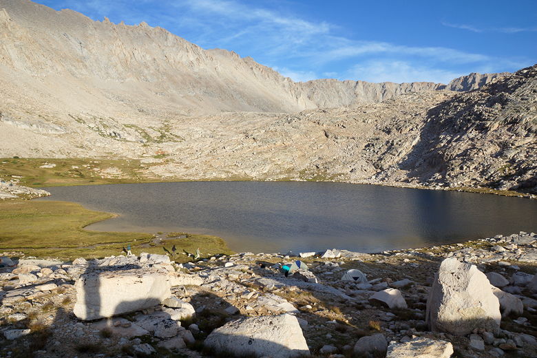
We were a bit distressed to see campers camping on the grass here, despite the fact
that there were still plenty of little sites scattered amongst the rocks here
and there. Even though there were probably more than 30 tents set up around
the lake, it still wasn't hard to find empty sites. For those of you who aren't
aware, backpackers are supposed to camp on durable surfaces. That means
no camping on the grass!
Mount Whitney (western side) Mount Hitchcock above Guitar Lake Mount Whitney (right)
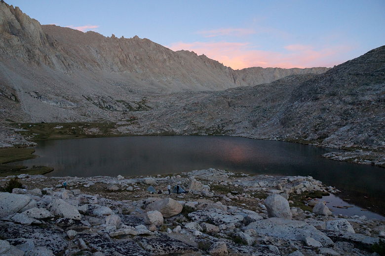
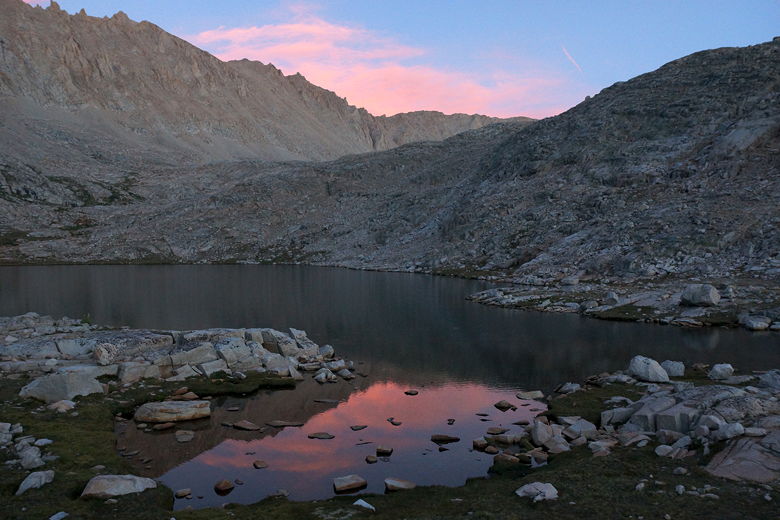
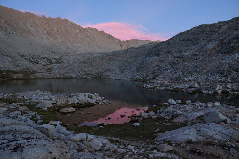
Despite the crowds, our site was somewhat isolated. It took a little work to go
down to the lake to get water, but that was fine. We also had excellent views
of the sunset. I could quickly climb up onto a plateau above our campsite and get
multiple views of the lake. As the sky changed colors, I could be seen
scrambling around from spot to spot, taking pictures as fast as I could. I think
I may have been the only one at the lake to see the colors in the eastern sky
reflected nicely in the lake, as no one else had my vantage point.
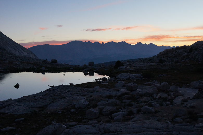
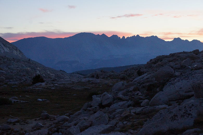
View to the west Guitar Lake sunset Sunset to the west of Guitar Lake Sunset clouds reflecting in Guitar Lake Sunset over Guitar Lake Guitar Lake sunset Fading sunset
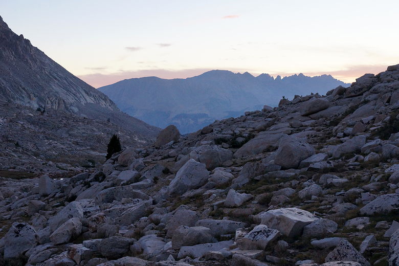
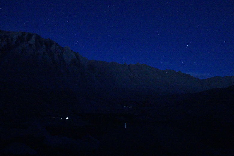
I took a few night pictures, as well. It was fun to see the lights of other
groups far on the other side of Guitar Lake. They'd be getting a little head
start on the way to Whitney tomorrow.
Stars over Guitar Lake camps
(Click image to view full size)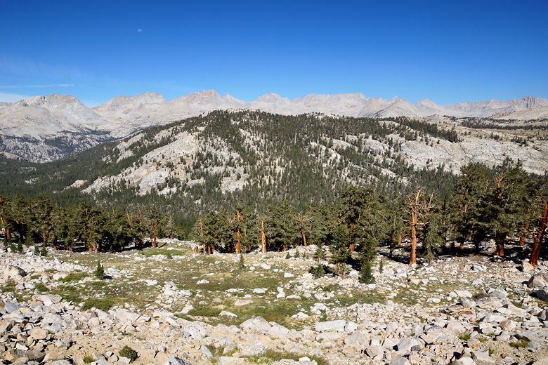


Related Pages:


|

|