|
The wind kept blowing on our tent, keeping me awake. It would stop,
and I'd sleep, then the wind would start up again. So when I started
to see lights shining at our tent at 5am, I was awake and wondering
what the heck was up. I opened up the tent and looked outside.
It was day hikers already on the switchbacks, on their way to Whitney.
We wanted to make sure we made it down by noon to meet Todd at
Whitney Portal, so we woke up early (6:10am), then left camp at
8:15am. It was easier to pack because we could just throw stuff
in our packs since it was the last day. It was partly cloudy and cold
as we started the descent from Trail Camp.
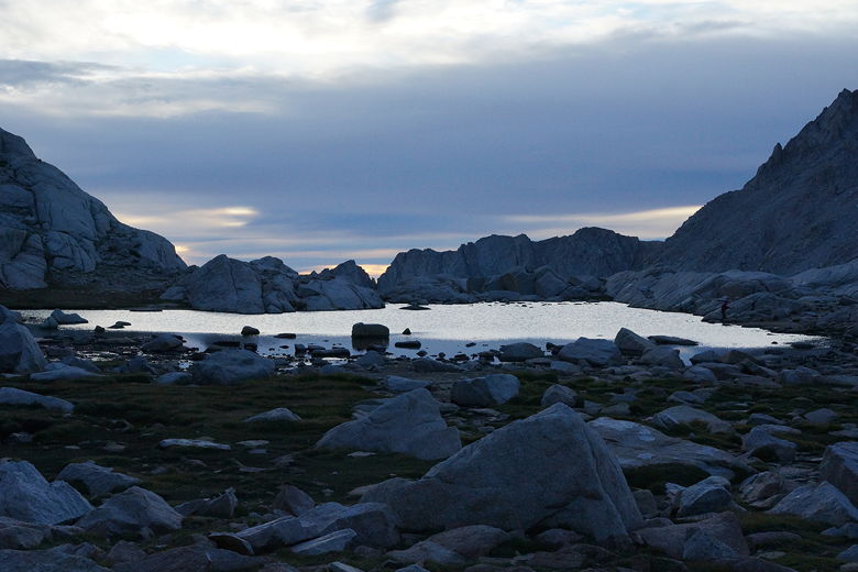
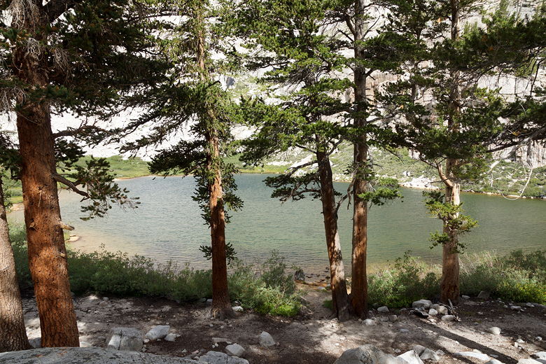
Lake at Trail Camp
We had about 3500 feet of descent to do today. It started out fairly
gradually. We passed a few straggler day hikers, but most of them
had already passed Trail Camp by the time we started. We also saw
backpackers going in both directions. At 9:15am we took our one and
only one food break.
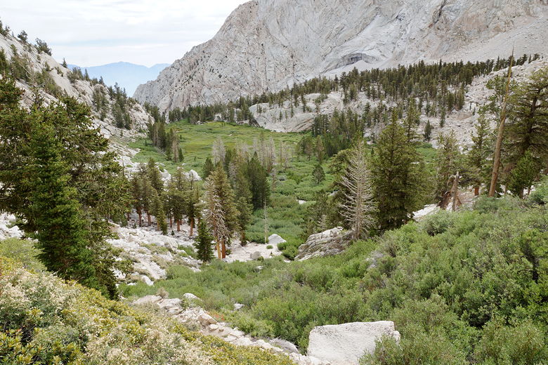
Soon we had views of Consultation Lake to the right. The trail consisted
of a lot of rocky steps. As we approached Mirror Lake, however, the
trail was a series of good switchbacks. As we approached Mirror Lake,
I saw a day hiker coming up with a Subway bag filled with her lunch. After all these days in
the wilderness, I knew we were getting close to civilization.
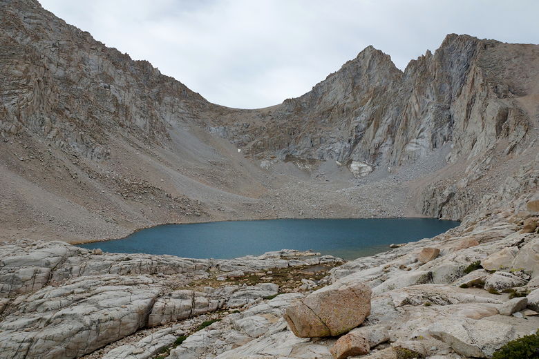
Consultation Lake
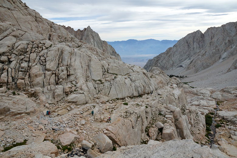
Descending
Descending (Mirror Lake visible near bottom left)
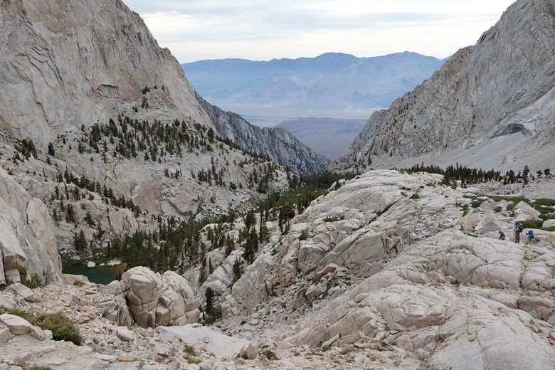
We passed Mirror Lake, then descended another set of switchbacks down to Outpost Camp.
We passed a group of hikers playing music out of speakers. Grr. The trail actually
levels off briefly here, then continues the descent toward Lone Pine Lake.
We turned left at the lake intersection, knowing we still had about 1700 feet
to descend.
Mirror Lake
Descending to Outpost Camp
Switchbacks (bottom left) down to Outpost Camp
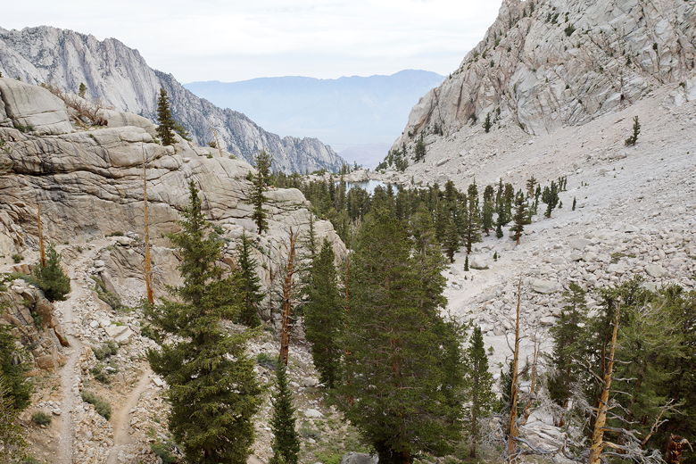
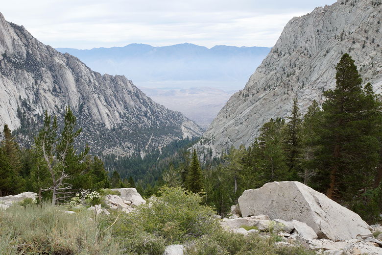
Now we started to see day hikers headed up toward Lone Pine Lake (the last place
you can visit without getting a Whitney zone permit). We crossed a series of logs over a
marshy area, then soon started the steep descent to Whitney Portal - most of the time
being able to see the Whitney Portal Road far below.
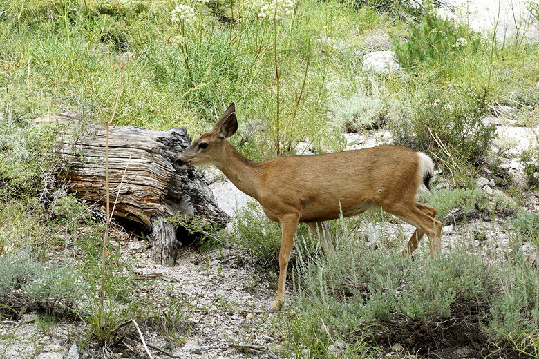
Deer
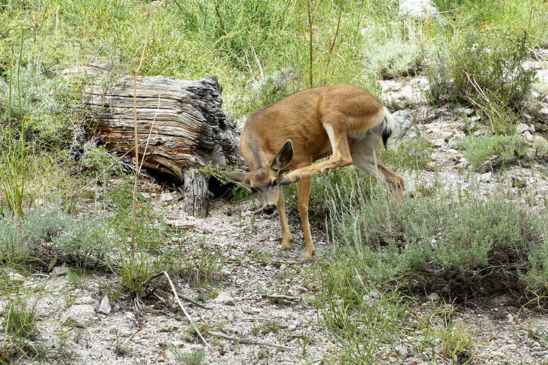
Deer scratching
Further along the descent
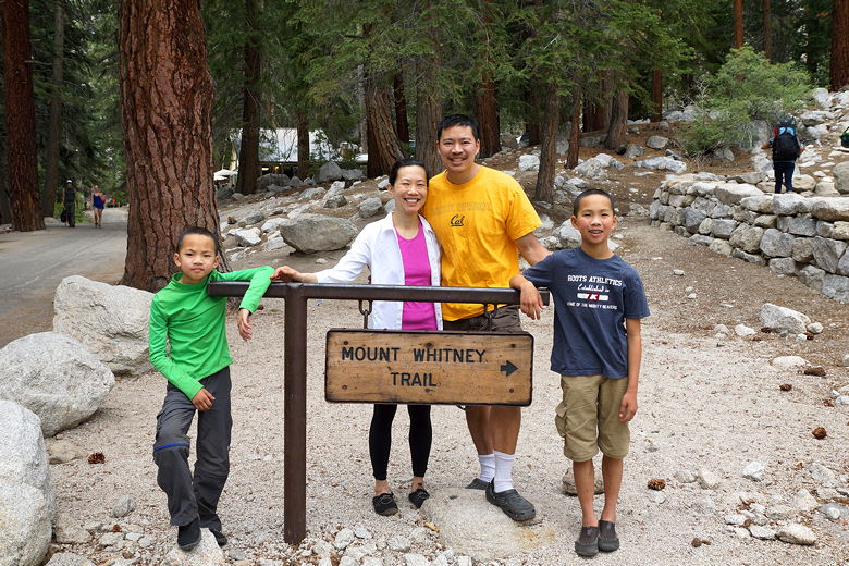
We reached the trailhead at 11:45am. We'd made it! Todd showed up just a few minutes
later. I was considering taking a shower here, but the Whitney Portal Store said that
there was only water, no towels or soap. So we just cleaned up as best we could
and changed into the clean clothes that Todd had brought (we'd given it to him a
month earlier). While we were there, we also saw the mother of the Cullen
family, who we'd seen on our very first night. She was picking up the rest of the
family, as they were planning to hike out from Guitar Lake to Whitney Portal today.
She seemed a little early, but she said their plan had been to start at 3am this morning.
They hadn't yet arrived, so she started hiking up to meet them.
End of the trail (after a change of clothes but before I had a chance to shave)
We deposited our WAG bags (yuck), then at 12:30pm we were
on the road. We stopped a few times on the way back to Lone Pine to get a glimpse of Mount Whitney.
Then we went on to Whoa Nellie Deli near Lee Vining, where we had our first real
meal since returning to civilization. After our late lunch, we drove through
Yosemite and back to Glacier Point, where our car was still waiting for us. It
was about 6:30pm by this time. We retrieved the stuff from the bear locker, loaded
up the car, and headed home.
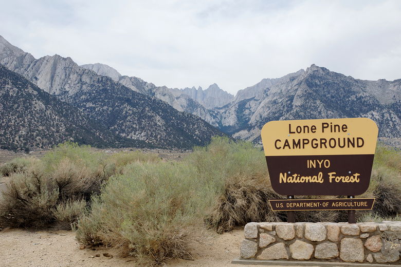
Mount Whitney from near Lone Pine Campground
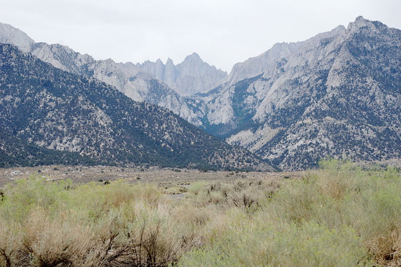
Mount Whitney (center, back)
The next few days, it was still hard to believe the trip was over. It almost seemed
like a dream, since we weren't sore or anything. The only physical reminder
I had of the trip were the 18 pounds I lost during those 3 weeks (the rest of my
family basically didn't lose any weight). Now we're already thinking about what
to do next year. It's basically impossible to top this, but I'm sure we'll find
something nice.
Later, while writing this report, I started to appreciate more how fortunate we
were to encounter basically good weather and not be affected by fires much.
I read about people running into lots more rain earlier in the summer, and then
lots of people bailing on their trip because of pervasive smoke caused by the
Rough Fire between Grant Grove and Cedar Grove (Kings Canyon).
What's next? Maybe the Wonderland Trail around Mount Rainier (it's been on
my list for years). Maybe the Tahoe
to Yosemite trail. We shall see...
| 

