|
There was a chance of afternoon thunderstorms today, so I wanted to get up and over Donohue
Pass as early as possible. To that end, my watch alarm sounded at 5:45am. Still,
it was very cold (though clear), so that made it a little hard to get going in the
morning. The sun finally reached our camp about the time that we left, 8:30am.
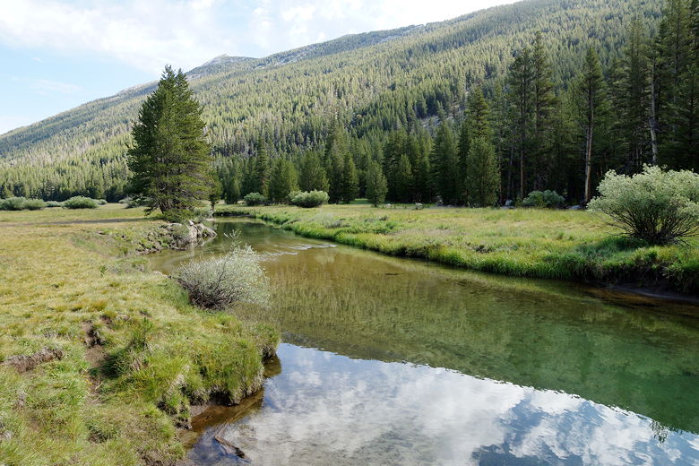
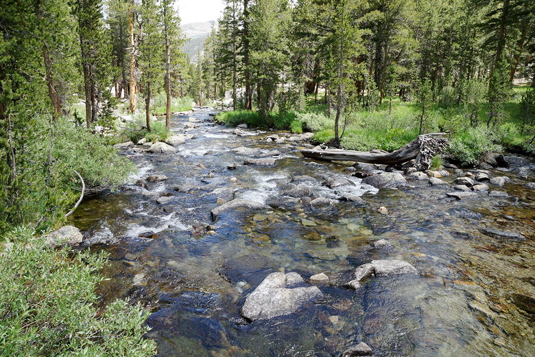
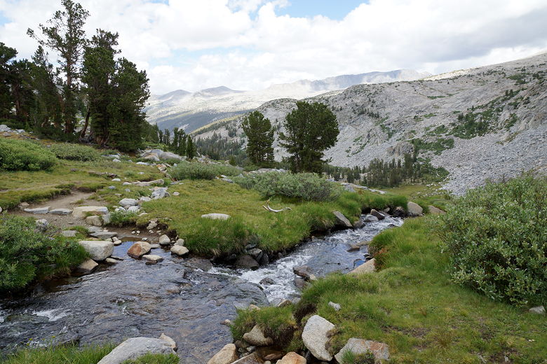
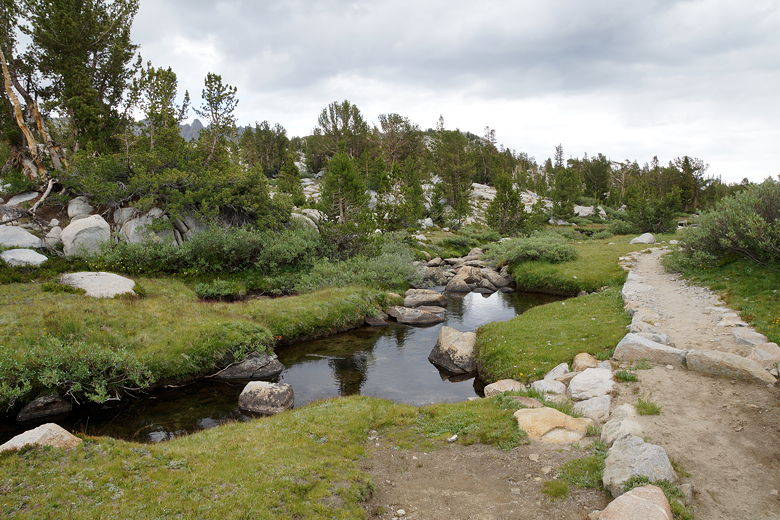
As we hiked along the flat trail through the rest of Lyell Canyon, we saw that
the canyon was actually quite beautiful. We hadn't noticed this yesterday when it
was cold and raining. We passed more campsites further up the trail, some of
them still occupied. We also noticed what appeared to be a CCC camp on the
opposite side of the river.
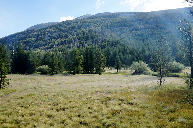
Lyell Canyon
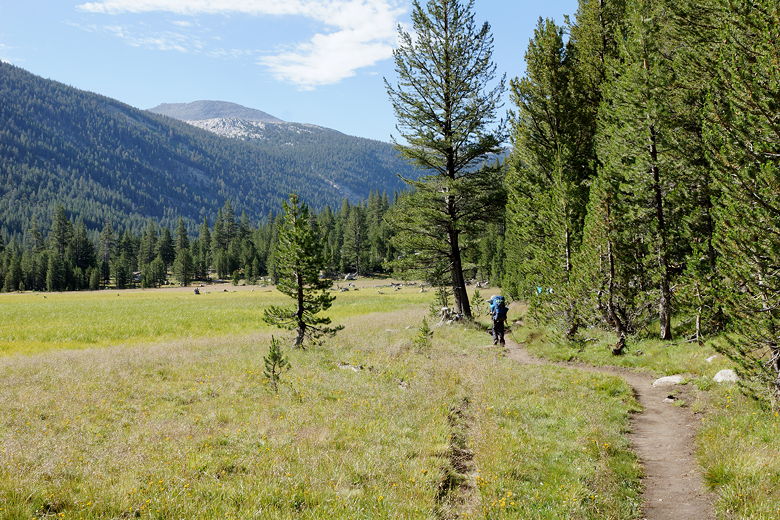
Hiking up Lyell Canyon
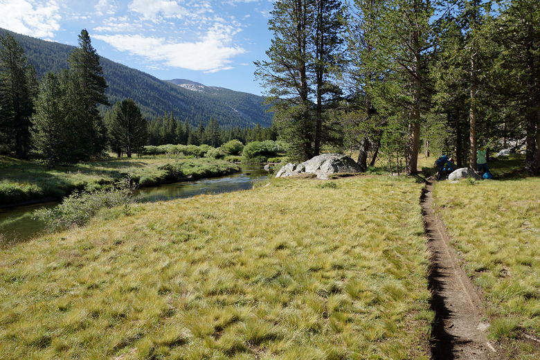
Trail next to Lyell Fork
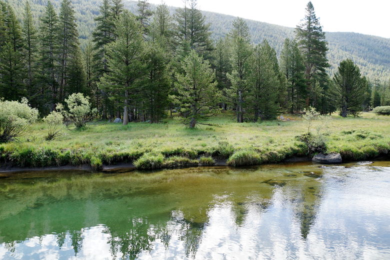
Reflections in Lyell Fork
Reflections in Lyell Fork
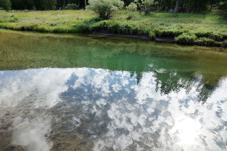
Cloud reflections in Lyell Fork
Continuing up Lyell Canyon
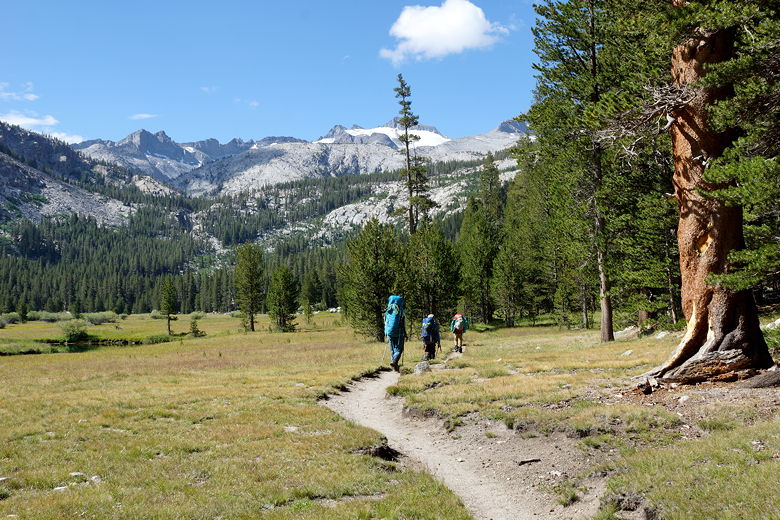
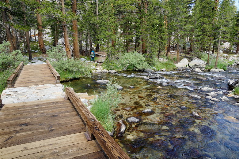
After about 3 miles of flat trail, we took a break by the river. An older gentleman
walked down, saying he had been hailed on at Donohue Pass yesterday. So we should
consider ourselves lucky. After the break, we returned to the trail, which now
starts climbing toward the pass. After about 700 feet of climbing, it flattens
out and reaches a bridge, where we took another break. There looked to be several
nice campsites by the water here, still in the forest.
Looking back down at Lyell Canyon
Creek crossing
Footbridge over the creek
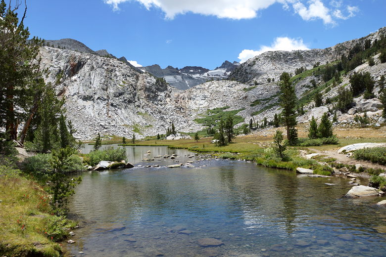
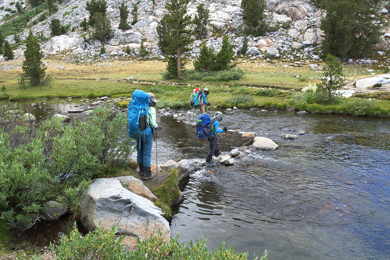
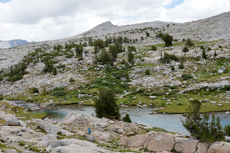
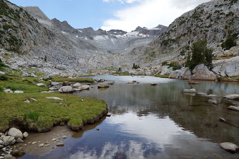
After our break, we crossed the bridge, passed a large group of hikers, crossed a
stream, and then soon came to an unnamed lake. There were several campsites here,
and 4 other people were resting here. At this point the trees basically end and
there are great views across the lake and looking up toward the pass. We crossed
the lake's outlet stream just in time to see a pika scurrying away.
Outlet stream
Looking up across the unnamed lake
Crossing the outlet stream
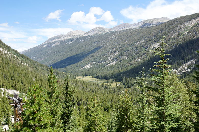
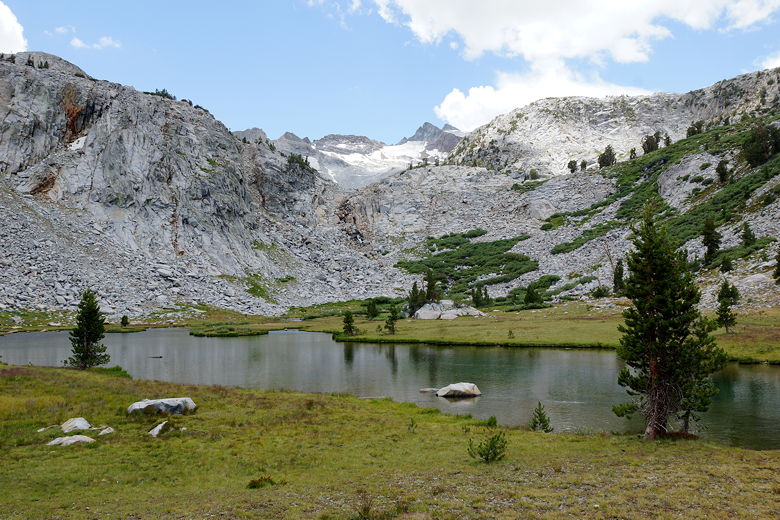
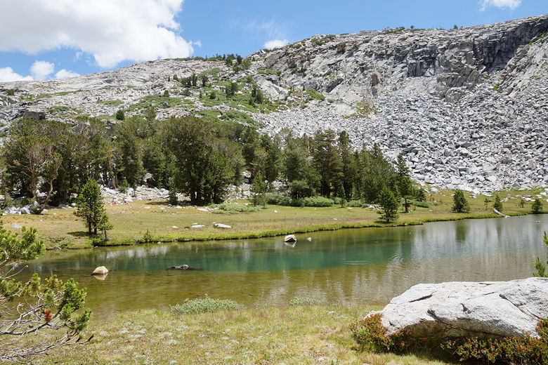
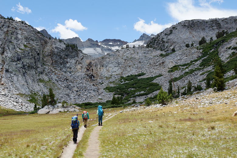
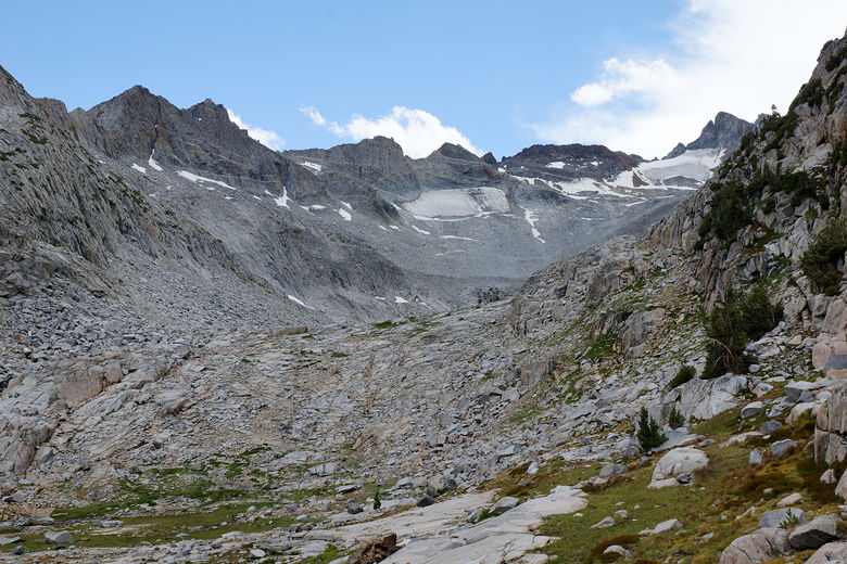
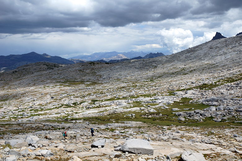
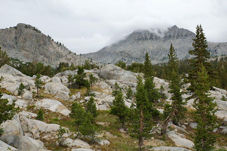
Now began the crux of the climb. We climbed on the rocky trail, gaining views
of the lake below. Numerous little streams flooded parts of the trail, but it
was easy to walk on the rocks to avoid getting wet. Eventually the trail levels
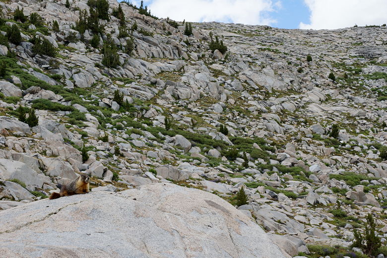
off and actually descends briefly to another, smaller lake. There were several
people milling about here, enjoying the views. A marmot scurried about near
the lake. We crossed the lake's outlet stream and headed up the final stretch.
I have to admit that having a nearly full pack was draining here, but we
eventually made it to the top (but not before letting a pack train descend past us).
Looking back across the lake
Heading up toward Donohue Pass
Looking back down at the lake
Stream at the top of initial climb
Mountains to right of Donohue Pass
Small lake on the way to Donohue Pass
Reflections in the lake
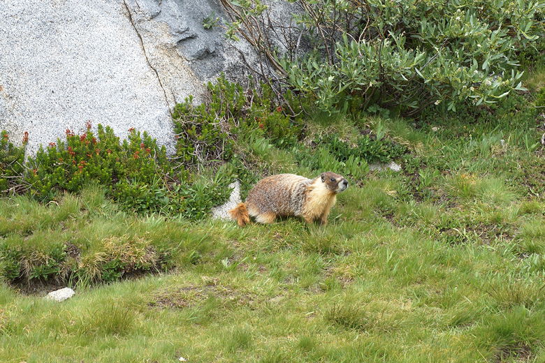
Marmot
Reflections in the lake
Looking back down at Lyell Canyon
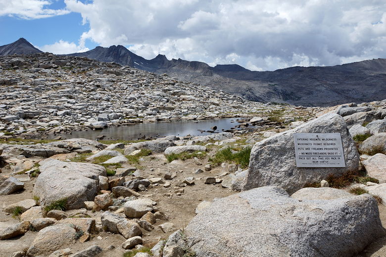
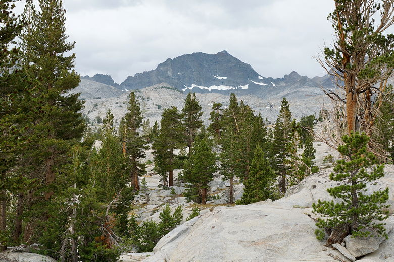
Though rain threatened other mountains further away, the skies above the pass itself
were mostly clear when we reached the top at 2pm. We now passed the sign telling us
we were exiting Yosemite, passed the small pond at the top of the pass,
and stopped to rest at the southeastern end of the pass.
After a food break, we started our descent from the pass.
Top of Donohue Pass
Originally, our plan was
to camp at Thousand Island Lake tonight. However, the climb up Donohue Pass with
nearly full packs had drained us and taken a little longer than expected, so we
resigned ourselves to camping sooner tonight. Plus, we were still a little worried
about rain, so the sooner we could camp the better.
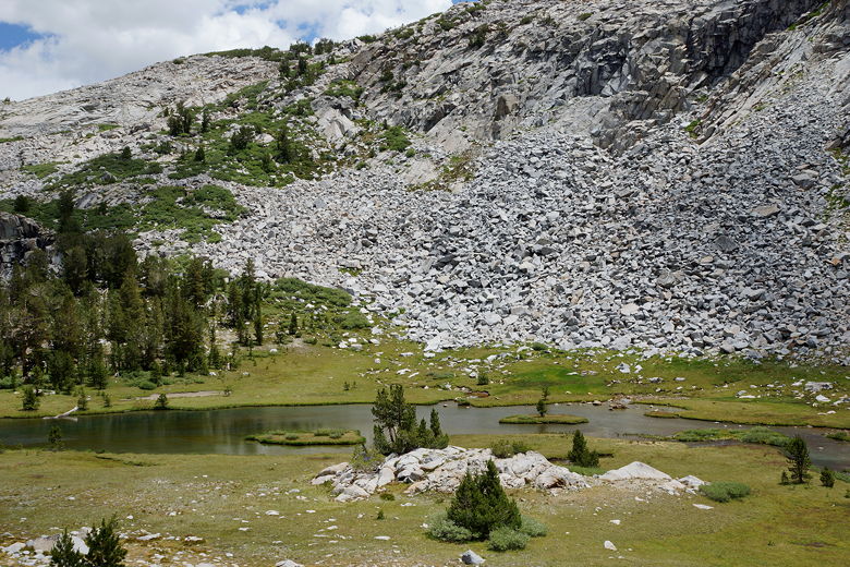
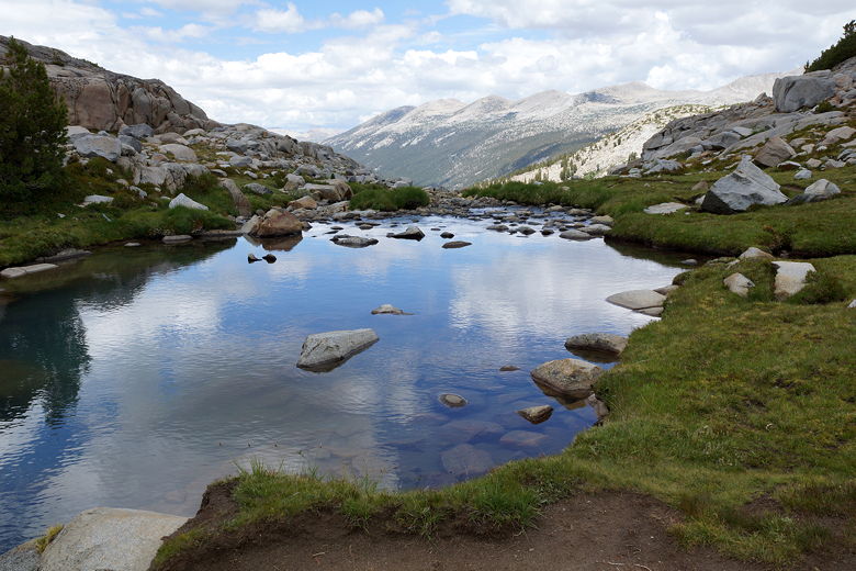
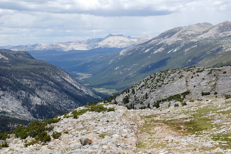
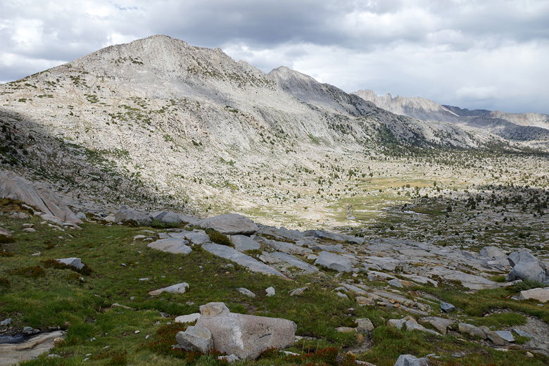
The descent from the pass was not too steep, but there were lots of rocky steps that
slowed our progress. As we descended, we entered a beautiful green area with little
streams flowing everywhere. We started to look for a campsite, but there weren't
any ones obviously visible from the trail. We met a woman hiking the JMT solo starting
from Lyell Canyon. She said she'd seen us on the Mist Trail on Tuesday (we were pretty
recognizable with my kids wearing masks to guard against the sun). She had hiked the
Mist Trail and had day hiked to Cathedral Lakes since she'd miss those on her backpacking
trip. She said she'd
probably camp at or near the Marie Lakes junction tonight. We'd see her again the next
day.
Descending from Donohue Pass
View to the southeast
A marmot watches us descend
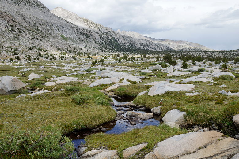
Stream
In the meantime, we continued to look for a campsite. Pikas and marmots were
everywhere as we continued to descend. This is a beautiful area I'd love to
revisit as some point. Eventually I spied a potential site down below to the left
of the trail. Jean checked it out and said it would fit our tent. After setting
up our tent here, though, we found a much better place nearby - a place with several
tent sites and awesome views of the area. We relocated and were very happy with
the new site, which was located about a half mile before the Marie Lakes junction.
Stream next to the trail
View to the north from our campsite
View to the south from our campsite
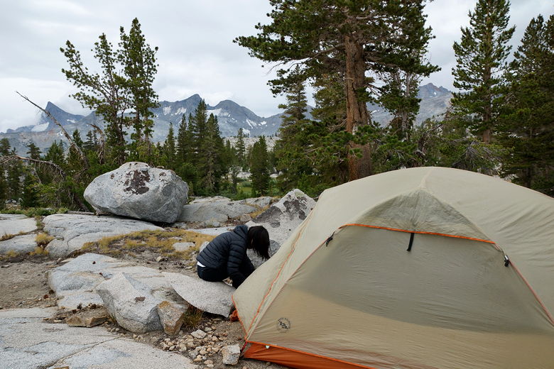
Setting up camp
Though the nearby stream was mostly stagnant, I found a place where it flowed freely
(apparently near a marmot's home) and got water from there. As we finished dinner,
it started to rain (around 7:30pm), and it continued to rain lightly until about 9pm.
| 

