John Muir Trail |
Day 6 of 22
When we woke it was partly
cloudy but no longer raining. Since we had stopped short yesterday,
we were behind schedule and knew we had a long day today. Our original plan
called for camping at Gladys Lake today, though we could stop earlier if
necessary (at Rosalie Lake for example).
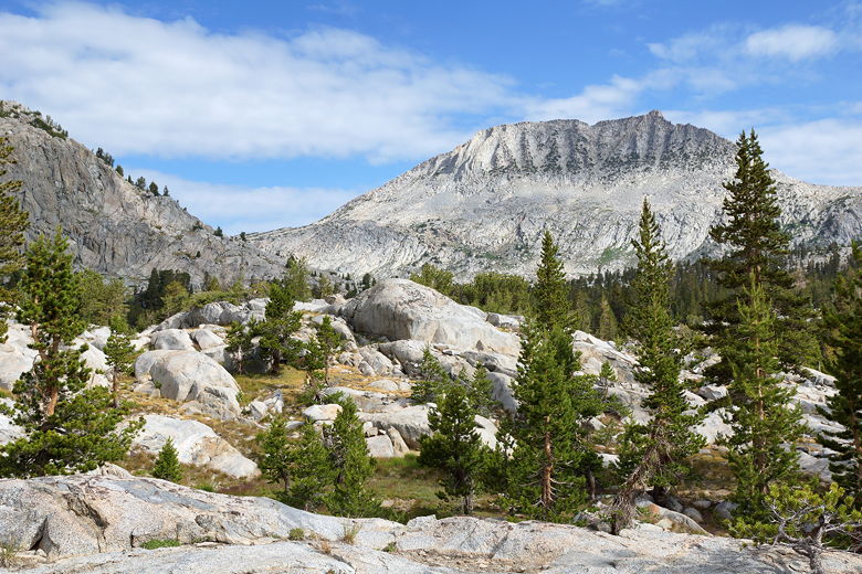
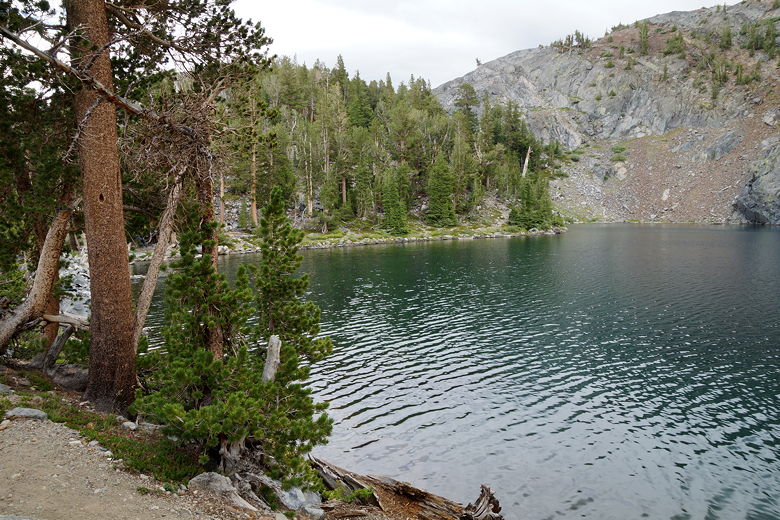
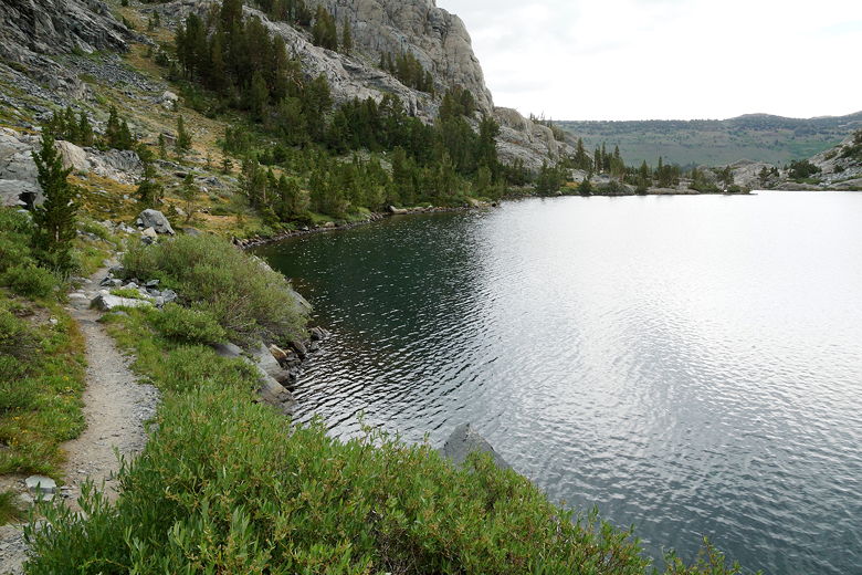
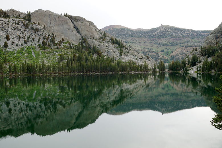
View to the north from our campsite View to the south from our campsite
We started off by doing the half mile downhill to the Marie Lakes junction,
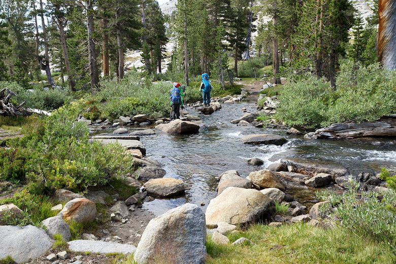
then continuing downhill on the JMT. There were a few stream crossings in this
area. After another mile of downhill, we took a break at the Waugh Lake junction
next to a stream. A large group crossed here, probably coming in from the Silver
Lake area (June Lake Loop).
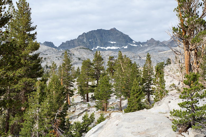
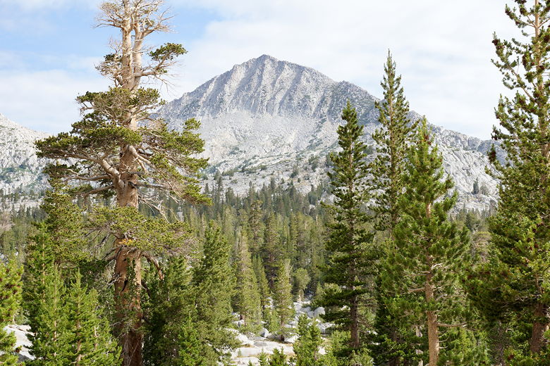
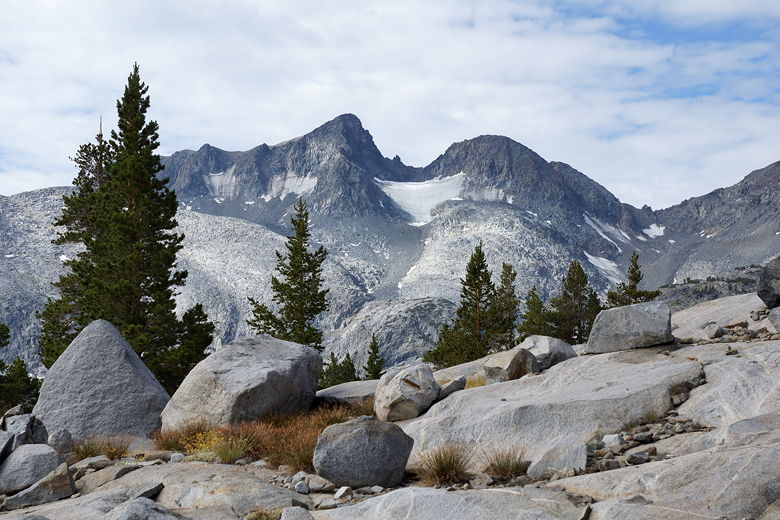
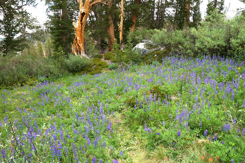
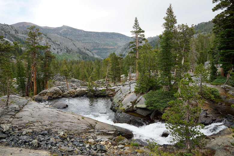
Wildflowers Stream crossing Glacier on Mount Davis Stream at Waugh Lake junction
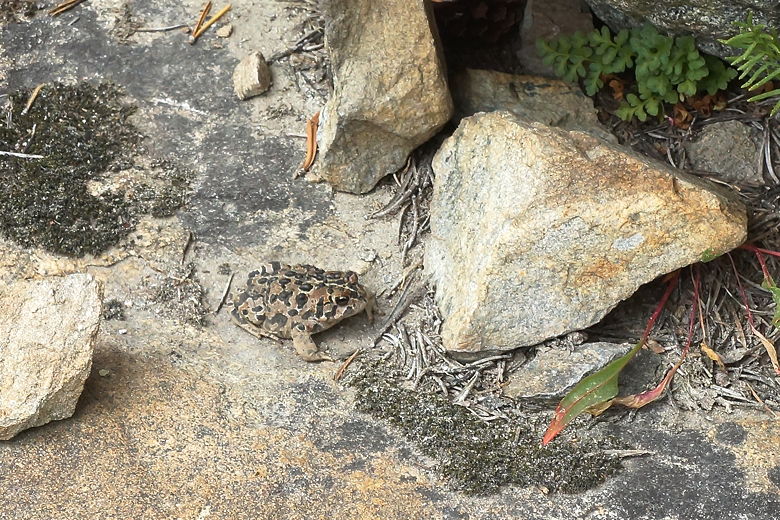
After our break, we started to head uphill toward Island Pass, which would require
a modest 600 foot climb. Along the way we passed a mother and her son (probably
early twenties) doing the JMT, starting from Silver Pass. While we were talking
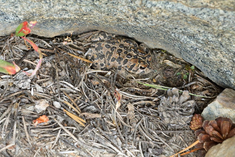
to them, Jared spotted a frog just off the trail.
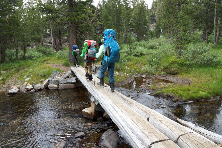
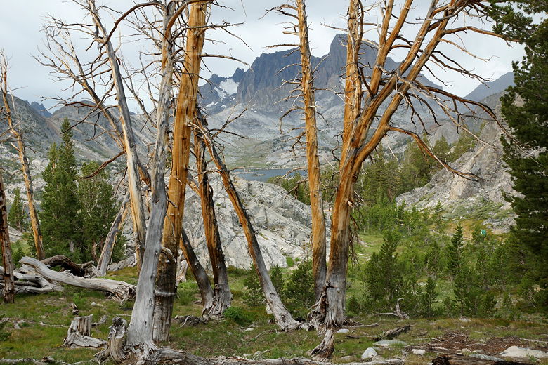
Bridge over stream Frog Frog
As we climbed up toward Island Pass, we passed by a CCC crew doing work on the
trail. The top of Island Pass is a large flat area sporting some small lakes.
At one of them we ran into the woman starting from Lyell Canyon we'd seen yesterday.
She was by one of the lakes, telling me about an endangered species of
frog that lived here. She'd seen several of them, though I didn't see any while I was there.
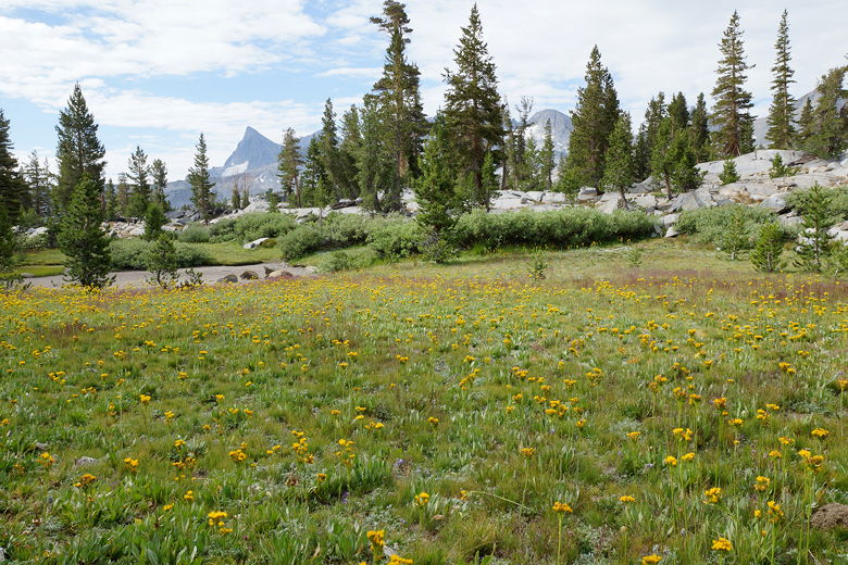
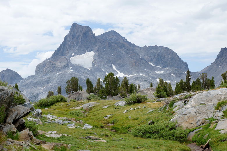
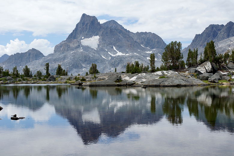
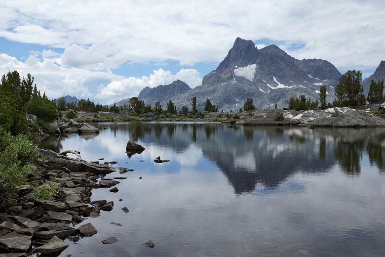
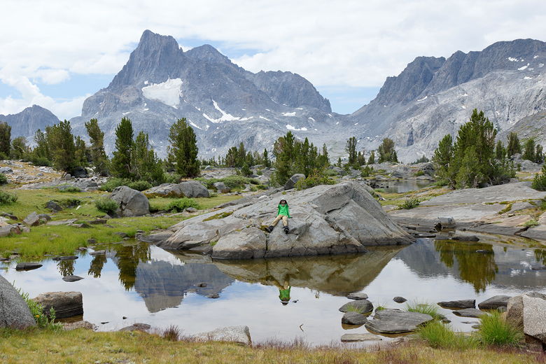
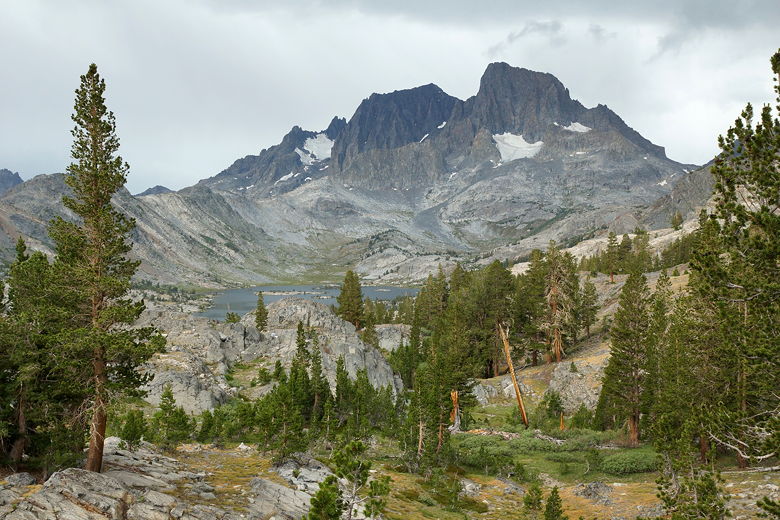
Wildflowers near top of Island Pass Banner Peak from Island Pass Banner Peak reflection from Island Pass Banner Peak reflection from Island Pass Banner Peak reflection from Island Pass
We had a food break near one of the lakes, then started the downhill toward
Thousand Island Lake. As we approached the lake we could see tons of people
camped near the lake (some of them too near). Although Thousand Island Lake looks
beautiful, I am glad we camped away from the masses.
Banner Peak and Island Pass pond
Tuesday, July 21st
Marie Lakes Junction to Rosalie Lake
13.0 miles
2350 vertical feet (ascent)
3110 vertical feet (descent)
9:45

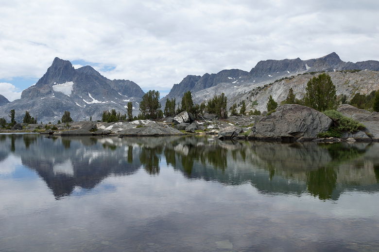
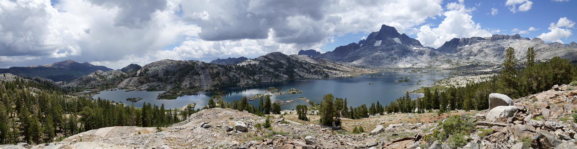
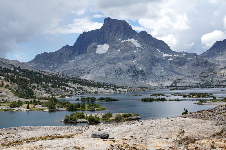
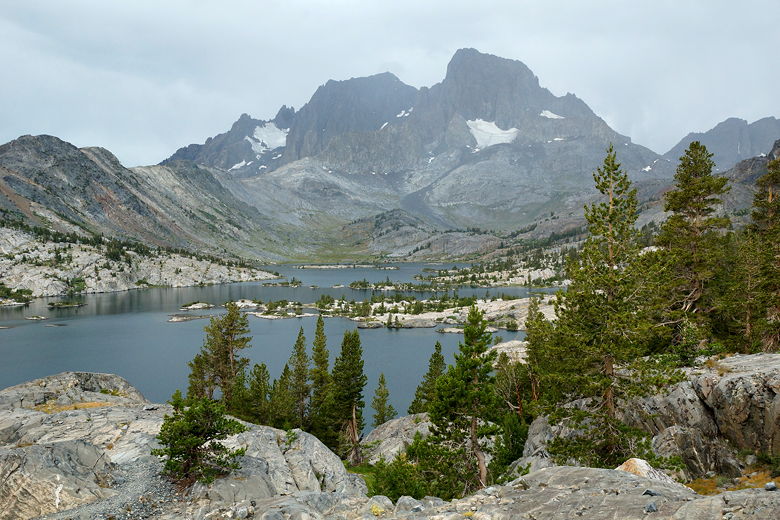
Thousand Island Lake Banner Peak above Thousand Island Lake Banner Peak above Thousand Island Lake
We reached an intersection near the lake's outlet stream, then started climbing
up toward much smaller Emerald Lake. After less than 100 feet of climbing, we
stopped near the lake to rest. Also, it looked like rain was threatening so we
started to put on our rain gear, though again it would get too hot and we'd
end up taking most of it off. I think that's the last time we made the mistake
of putting on our rain gear prematurely.
Emerald Lake Emerald Lake
We started to see some day hikers here, as well, perhaps coming from the
Agnew Meadows campground. After our break we climbed another 60 feet to the
less appealing Ruby Lake. As we walked high above the edge of the lake, we could
hear distant thunder, though it still wasn't raining where we were. When we got
to the southeastern end of the lake, we passed two women who apparently weren't
sure whether they should camp here or climb up to Garnet Lake. Just as we started
to climb, another woman came scampering downhill, saying she heard thunder two
miles away and was going to wait it out.
Ruby Lake
I discussed the trade-offs with my wife and we decided to keep going. There was
no telling if the lightning was getting closer or further away, or if
waiting would be worse than going ahead. I figured if we were going to do it, though,
we'd want to get up and over this 200 foot climb as fast as possible, before any
lightning arrived. I told this to the boys, but perhaps I should have been
more clear about what I meant. Jared took off, racing uphill, and that was the last
we saw of him for a really long time.
We made short work of the climb, then started to descend to Garnet Lake. I had
expected the kids to stop shortly thereafter, but they just kept going. There
was no danger from lightning now, but instead we started to worry about where our kids
were. I passed one use trail and was worried that Jared might have taken it and
we'd get separated. But he is pretty good about following the trail (better than
me sometimes). Jean and I frantically descended as fast as we could (which is
definitely not as fast as the kids), finally re-joining the kids near
Garnet Lake's outlet stream a half hour later.
Mount Ritter and Banner Peak above Garnet Lake Trees near Garnet Lake Mount Ritter and Banner Peak above Garnet Lake Eastern end of Garnet Lake
We took the bridge over the outlet stream, then made the mistake of turning left
instead of right (there's no sign here). I'm not sure exactly what I was thinking,
but we descended this
rocky gully toward the Altha Lake trail for about 10 minutes before reaching the bottom,
realizing we'd gone the wrong way, then retracing our steps. This was the only
wrong turn we took on the JMT.
To make it worse, by the time we returned to Garnet Lake, it started to sprinkle.
And then as we started to climb away from Garnet Lake, it started to rain. Thus,
we were not in the best of moods as we climbed another 400 feet up out of the
Garnet Lake basin before starting a descent to Shadow Creek.
Near the top of the climb there was a small pond, but no good camping sites. There
were lots of groups heading in the opposite direction, probably looking to camp at
Garnet Lake or Thousand Island Lake tonight. We now started a long descent, first
on rocky trail but eventually on good footing. It's about 1000 of descent to Shadow
Creek. The rain let up later in the day, though it was never really a problem.
At Shadow Creek, we saw a few campers here, but we decided to keep going.
Shadow Creek was running well, with some impressive cascades visible from the
trail. As we continued to descend, we found a great-looking campsite along the
creek, but we found a small note saying the area was being restored, and I remembered
from my book that camping wasn't allowed at Shadow Lake or from there to the
junction. So we kept going.
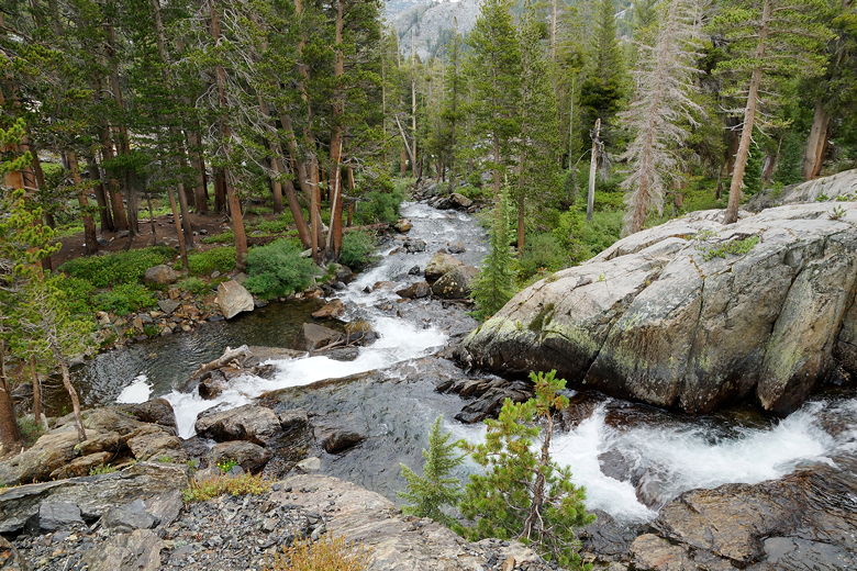
Shadow Creek cascade Shadow Creek cascades
We continued to descend to Shadow Lake. There are some campsites here, but they
were taken. Apparently camping is prohibited within 300 feet of Shadow Lake, so
I'm not even sure if these were legal sites or not (they were a bit far from the water,
so they might have been).
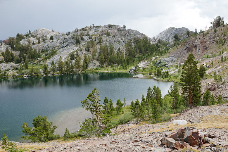
Just as we were about to climb to Rosalie Lake, we met two hikers coming down from there.
I asked them about camping and they said there was a use trail above the lake that led
down to some great sites that were still available.
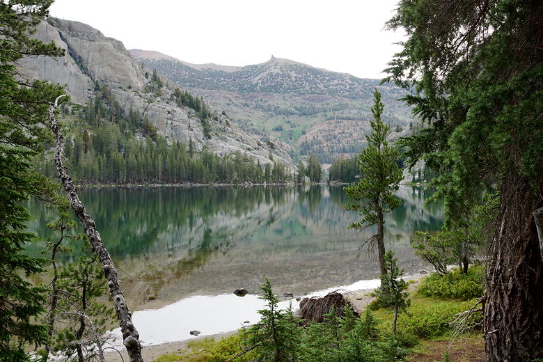
Shadow Lake reflections Shadow Lake reflections
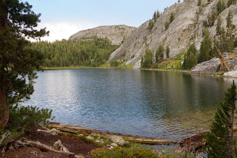
We now had a steep 650 foot climb up to Rosalie Lake at the end of a long day, but we
just gritted our teeth and did it. When we reached the top we saw a solo hiker who
seemed disappointed when I mentioned the camping restrictions, but I assured him
he could find good sites near the Ediza Lake junction. We found the use trail on
the right and were soon at a great, isolated site at Rosalie Lake. It was just
after 7pm, giving us a little time to enjoy some great views of the lake during dinner.
Rosalie Lake
(Click image to view full size)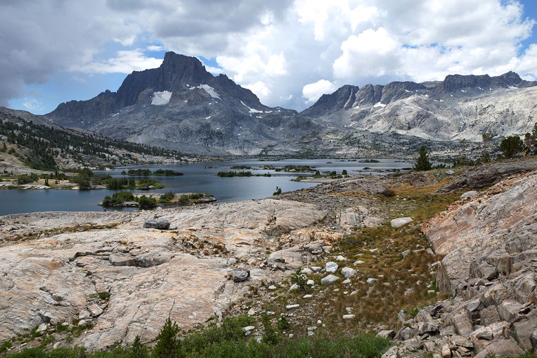
Related Pages:


|

|