|
We woke up at 8am, had breakfast, checked out, and arrived at the Wolverton
trailhead a little past 10am. We put our excess food in the bear lockers at
the trailhead. We did our final packing and weighed our
packs and were shocked to find out the final weights: me: 61 pounds, Jean
39 pounds, Nathan 28 pounds, Jared 24 pounds. Based on my calculations I had
expected about 7 pounds less in total. I suspected that, because it had been
hot, I had put in a lot more water,
and there were probably also a few things
we added at the last minute.
Click here if you'd like to see what we brought on our trip.
I thought about shedding some weight by ditching some food (I had been conservative,
bringing more food per day than last year - about 8000 calories per day for the
four of us instead of 7000). We were at 69K calories (about 39 pounds of food) and I
figured we could cut
that to 65K. And maybe we could shed some other weight. But it was almost 11am
and we needed to get started on this long day, so we decided to just go with the
extra weight.
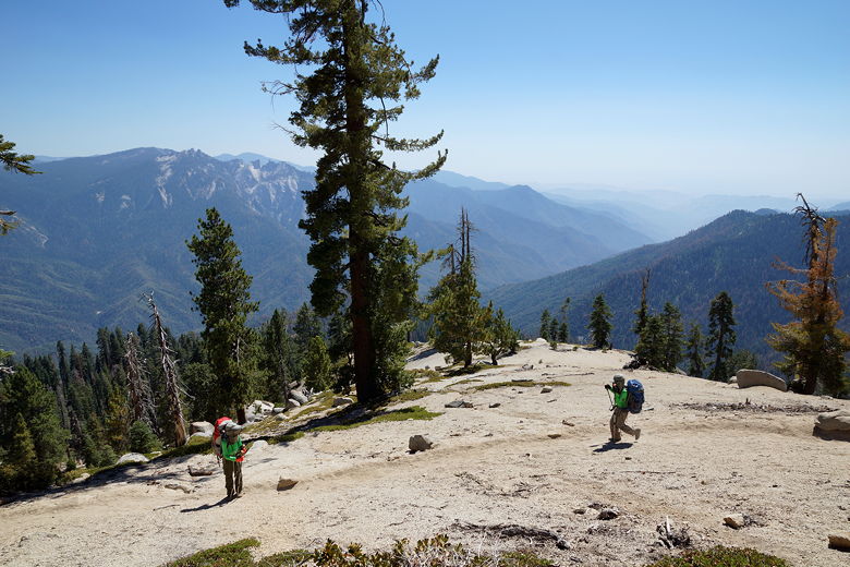
It became immediately apparent that we needed to shift some of the weight around.
Nathan and I took some weight from Jean and Jared. That helped some, but still everyone
except Nathan seemed to be suffering from the extra weight. I had hoped to never
have to carry 60 pounds again, but I was probably carrying 63-64 pounds and the
difference was very noticeable to me.
We slogged uphill from the start, on the trail toward Heather/Pear Lakes and Alta Peak.
Day hikers passed us by, as well as some backpackers in the opposite direction.
There was a fair amount of foot traffic on this lower section of the trail. After
about 1.8 miles, we reached a trail junction and took a break. To the left is the trail
up to Heather and Pear Lakes. A special permit is required to camp there, as there is
a daily quota.
After our break, we left most of the day hikers behind, heading right toward Panther
Gap. The trail continues to climb through open forest. When we reached Panther
Gap, we now had views of the mountains to the south. We met a woman here who was
backpacking in the opposite direction. She had camped at Buck Creek and Hamilton
Lake, visiting Precipice Lake and Alta Peak on day hikes during her 5 day outing.
She mentioned that Buck Creek was much nicer than Ninemile Creek; I was worried
there wasn't a bear box there, but she assured us there was. Still, I wasn't sure
if we'd have the energy to reach it, but it was something to consider.
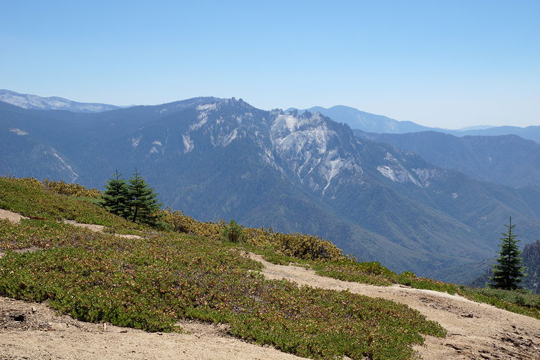
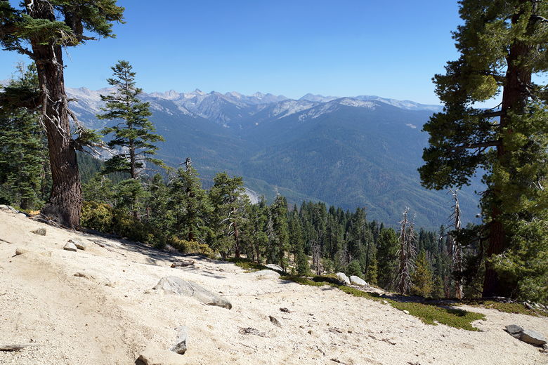
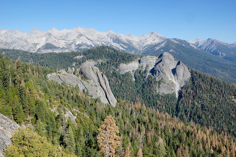
View from Panther Gap
It looked like some folks were dry camping here at Panther Gap. We, however,
continued on up the ridge to the east; we still had about 400 feet to climb.
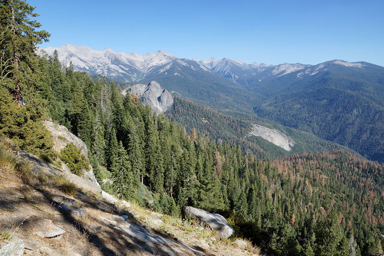
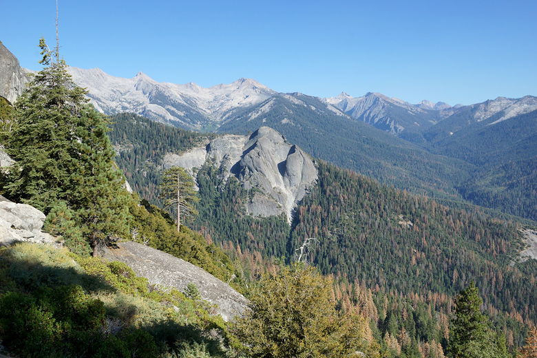
As we climbed, the views to the south and east
began to open up. We could see the forest below, and it looked like many of the
trees were dying (of what we didn't know). You could clearly see brown trees
among the green.
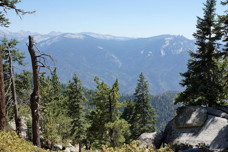
View from the Alta Trail
Looking east from the Alta Trail
Looking back at Panther Gap
After about 4.5 miles from the trailhead, we finally reached the highpoint of our
day and started to descend away from Alta Peak, toward the High Sierra Trail.
We now had about 1500 feet of descent in 2.2 miles. It was steep near the top, but
easily graded in the middle, with a very brief steep section near the bottom.
Soon enough we reached the next intersection and the High Sierra Trail, which
comes in from Crescent Meadow to the west.
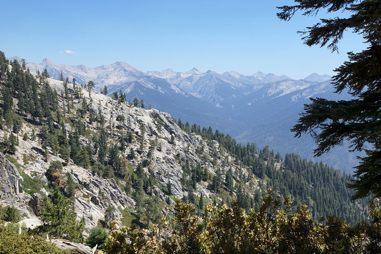
Descending from the Alta Trail to the High Sierra Trail
Descending to the High Sierra Trail
The trail now flattens out a bit. As we continued east on the High Sierra Trail,
I was suprrised to find the views getting better and better. We crossed a creek,
then were soon passed by a group of backpackers we'd soon see at Ninemile Creek.
When we finally reached Ninemile Creek after a small climb, we didn't have enough
energy to continue on to Buck Creek. This is just as well, as the people who'd
passed us had talked to some hikers coming the opposite direction and they said
there were already people camping at Buck Creek. They were going to camp near
the bear box which is just below the trail to the south. They pointed out that
there were sites above the trail, and we soon found those.
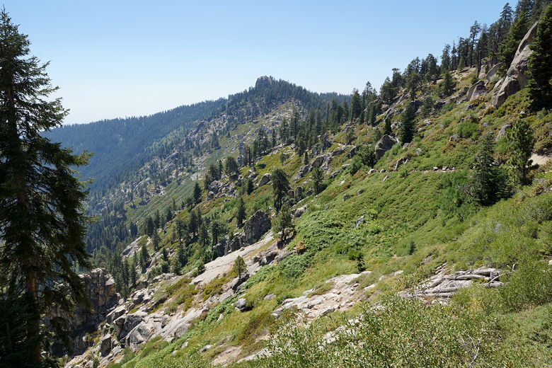
View from the High Sierra Trail
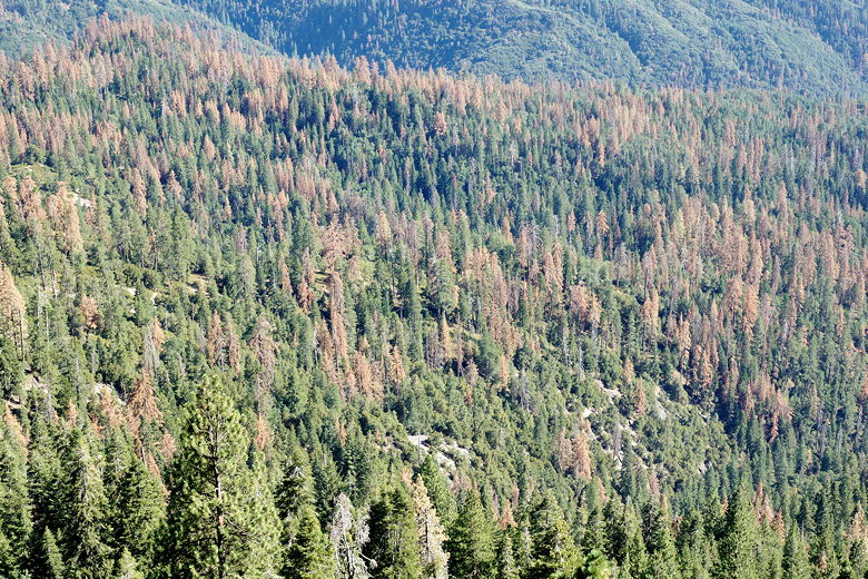
Trees dying in the forest
View from the High Sierra Trail
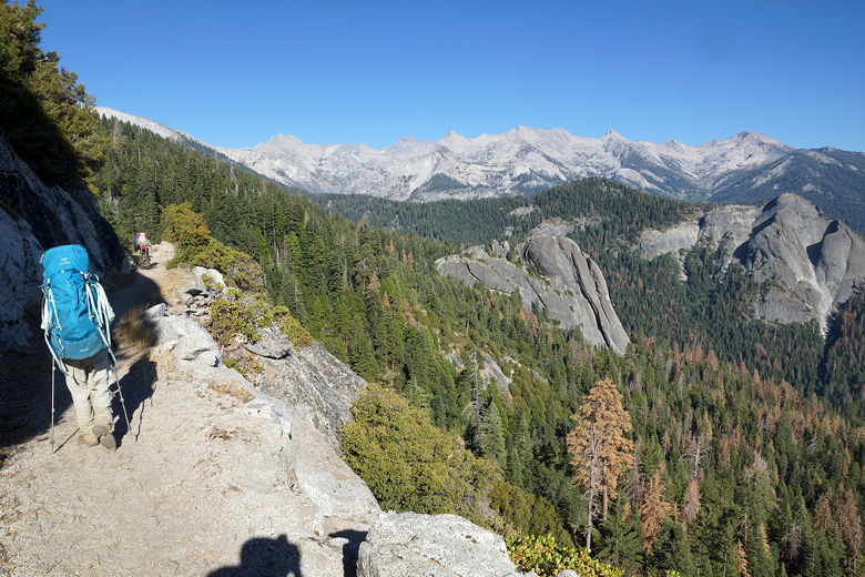
Hiking on the High Sierra Trail
View from the High Sierra Trail
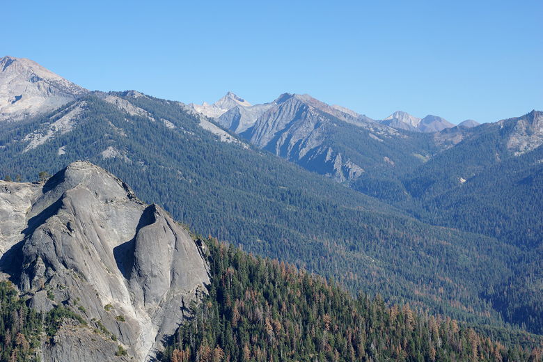
View from the High Sierra Trail
After settling on a decent spot above the trail, we donned our mosquito nets.
The mosquitoes were a bit of a nuisance, but they weren't that bad. Despite the
fact that it was a bit dark and gloomy looking at our campsite, it was actually
not bad. We couldn't even hear the other groups of campers because of distance,
trees, and creek. After dinner we put a big bag of stuff into the bear box and
went to sleep.
| 

