|
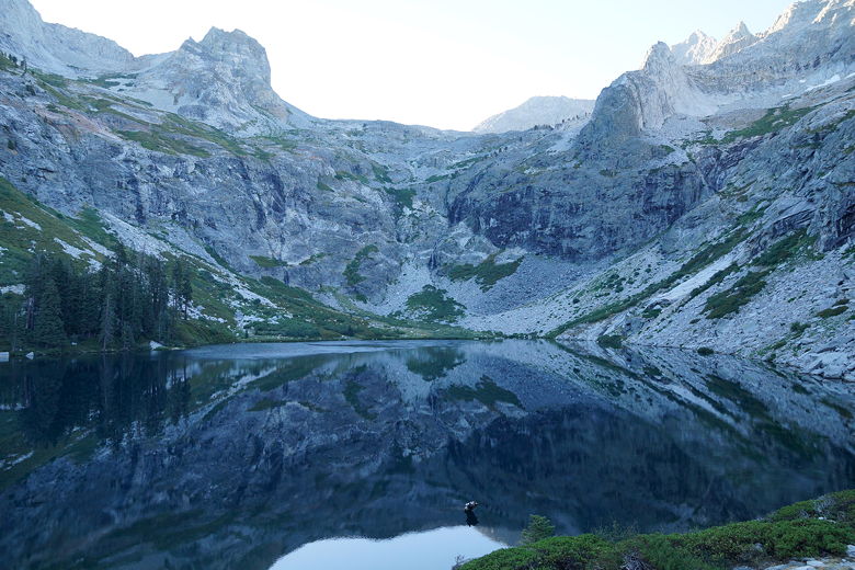
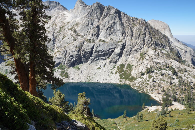
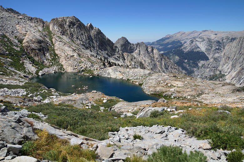
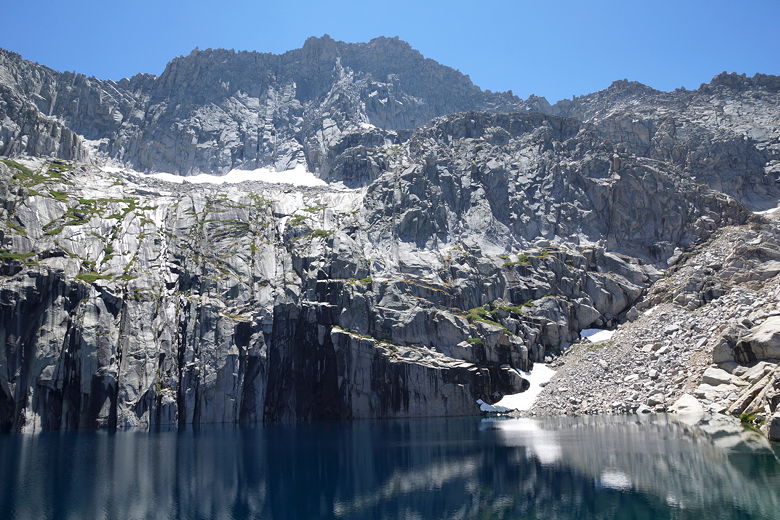
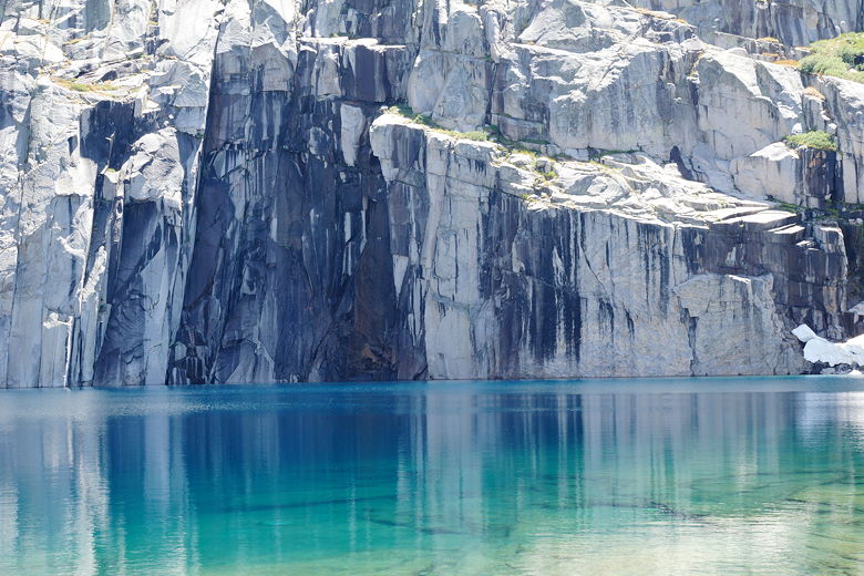
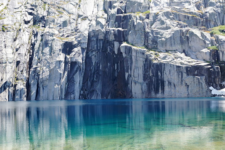
I woke up at 7am and took some pictures of the mountains reflecting in the
still waters of the lake. Not soon after, the wind started to pick up and
the reflections disappeared. I retrieved our excess food from the bear box;
2 guys who I'd met last night (and who I'd later find out were Eric and Kevin)
were there and said they were going to Big Arroyo today - taking their
time on the HST to Whitney. We were hoping to get to Little Five Lakes
today, but I had realized today that doing so would involve another 900-1000
feet of climbing, so there was a chance we'd be staying at Big Arroyo as well.
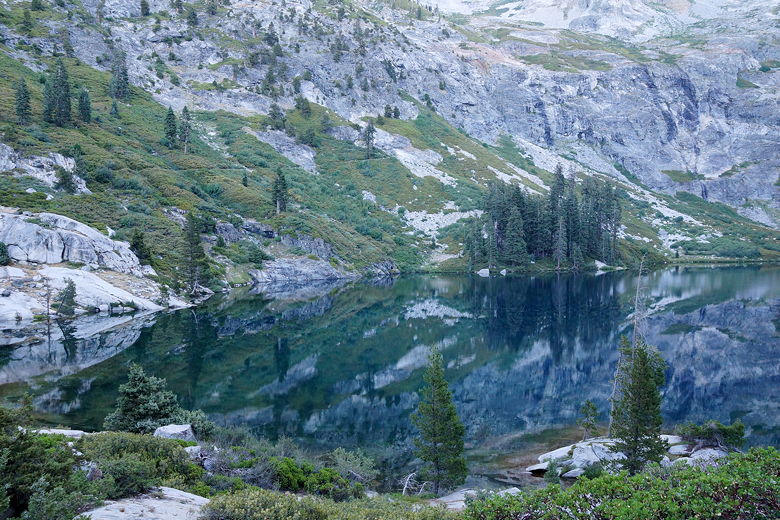
Morning reflections in Hamilton Lake
Morning reflections in Hamilton Lake
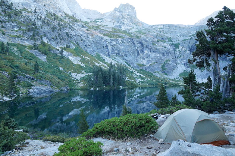
Campsite above Hamilton Lake
Morning reflections in Hamilton Lake
Morning reflections in Hamilton Lake
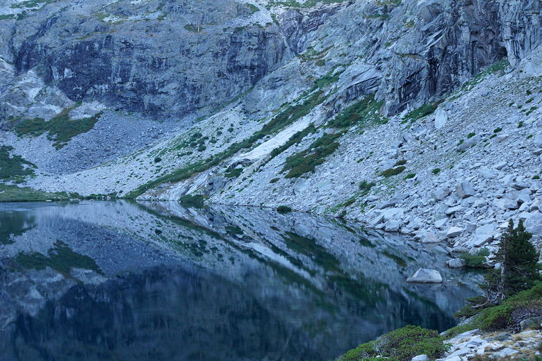
Morning reflections in Hamilton Lake
While we ate breakfast, we saw three hikers on the opposite side of the lake,
apparently lost. Or at least having a hard time finding the trail. We could
clearly see the trail switchbacking above them. We wouldn't make that mistake.
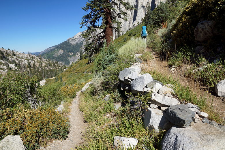
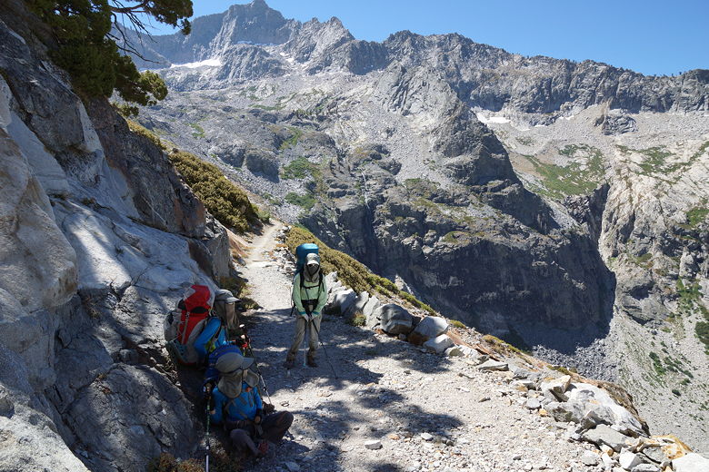
We left camp at 9:15am, one of the last ones to do so. One of the only ones
left were the two photographers who had camped closest to us; they said they were only
going to camp at nearby Precipice Lake tonight, then hike back out nearly 20 miles in
one shot tomorrow.
We descended from our camp down to the trail, crossed the outlet stream, then looked
for the trail on the other side. It wasn't obvious, so I can understand why those
hikers had gotten a bit misdirected. But we knew in what direction to look, so we
were soon on the switchbacks leading up from Hamilton Lake. I had hoped that since it
was morning and the switchbacks were on the northeastern side of the lake, the sun
wouldn't be an issue. Unfortunately, it was. The sun reached us quickly and it
got warm immediately.
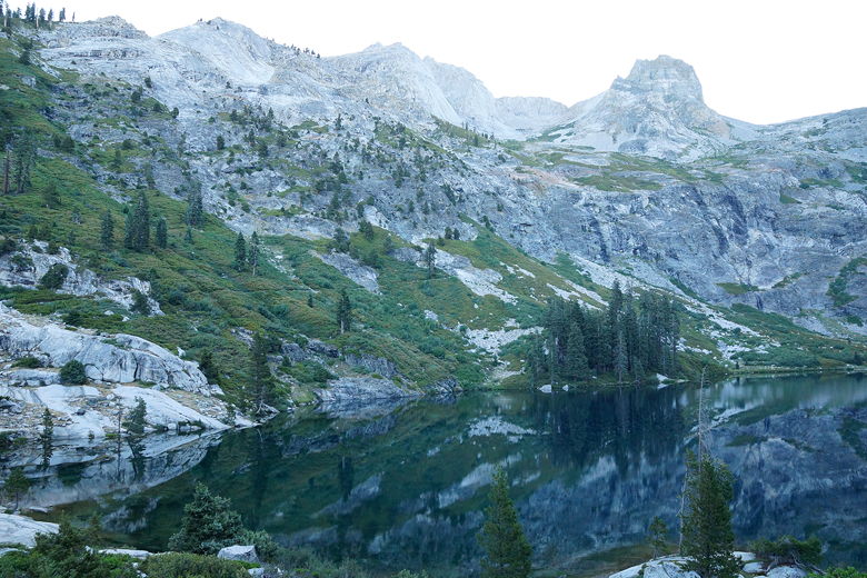
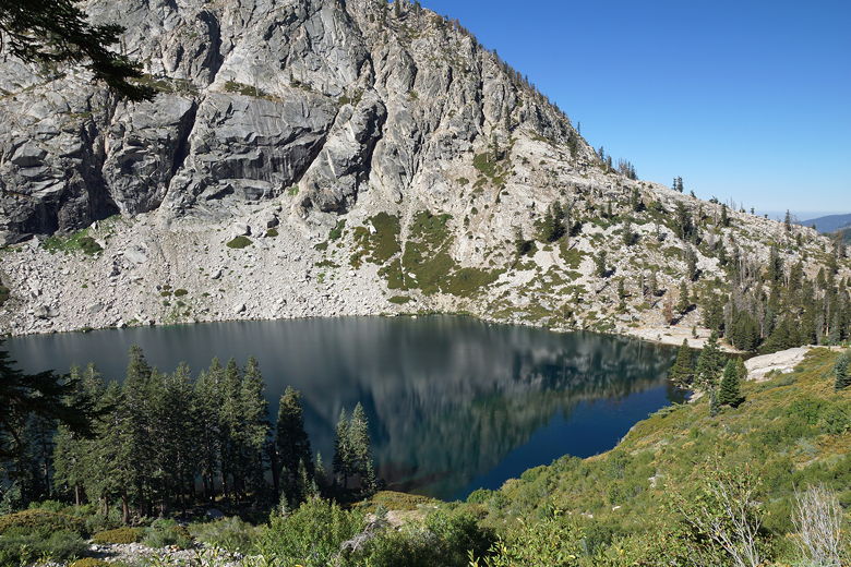
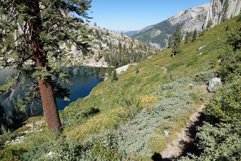
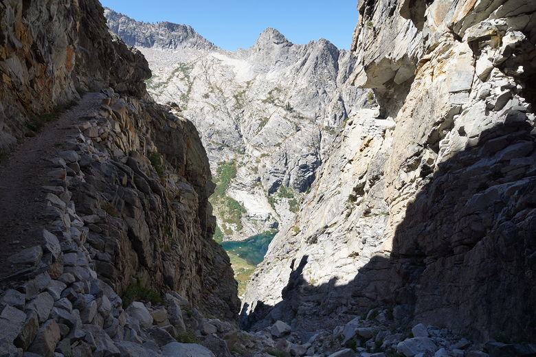
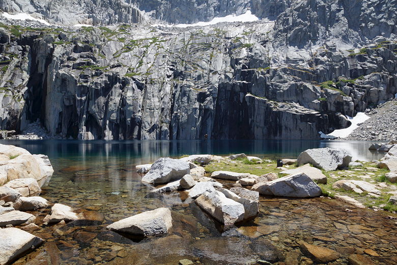
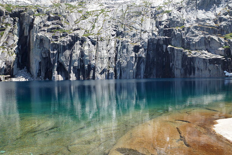
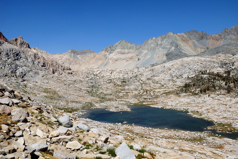
As we climbed, we gained views of the lower lake. We also came to realize how large
Hamilton Lake actually is. The two photographers passed us at some point. Further
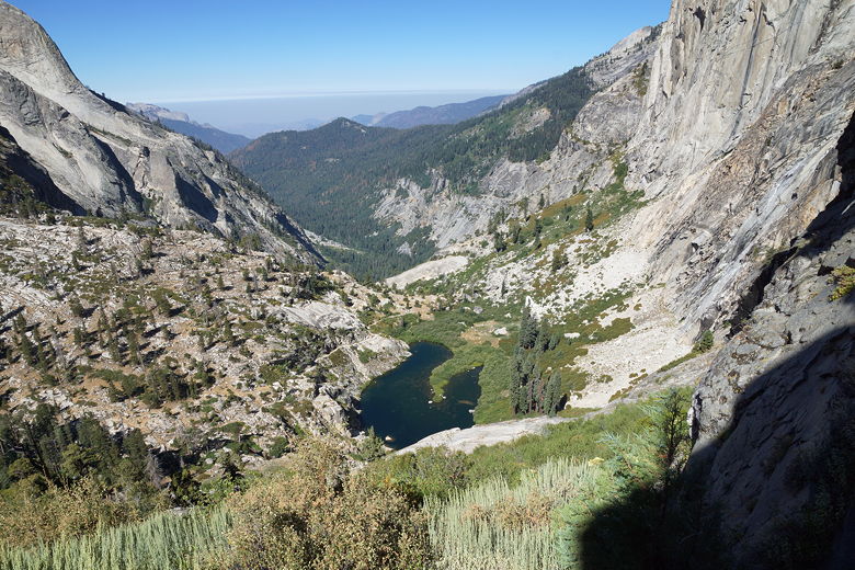
up the trail, we were met with another vertigo-inducing sight. An exposed section of
trail reminded me of the descent of Forester Pass. Although this seemed worse.
Whereas a fall from the Forester Pass descent would probably mean bodily injury
and possibly death, a fall from this section of the trail would mean almost certain death.
My kids were further up the trail (we've grown to trust them, which is good since we
can't keep up with them) and I kind of freaked out as they yelled cheerily across the chasm,
"Hi dad!" I'm taking pictures, thinking to myself, "uh, yeah...just keep going and get to
safety."
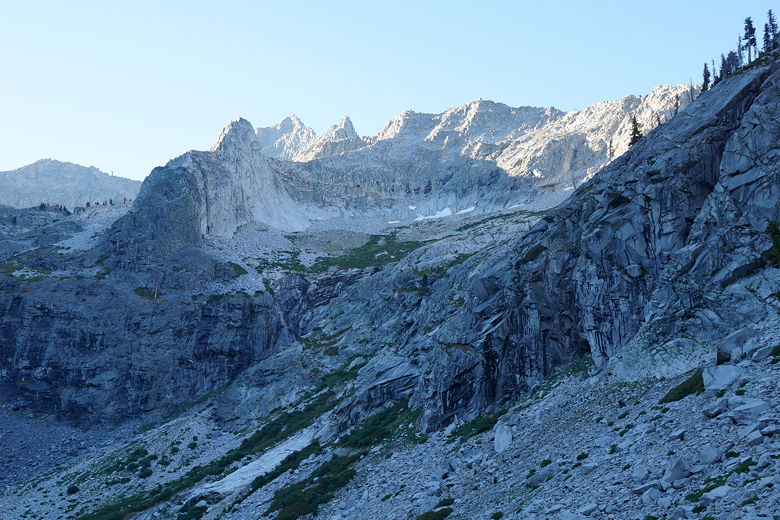
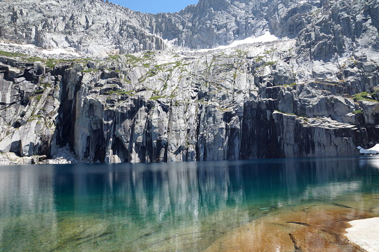
Mountains above southeastern side of Hamilton Lake
Hamilton Lake from the switchbacks
Switchbacks above Hamilton Lake
Looking back at Hamilton Lake
Trail above Hamilton Lake
Looking down at the lake/pond below Hamilton Lake
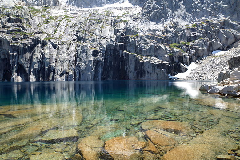
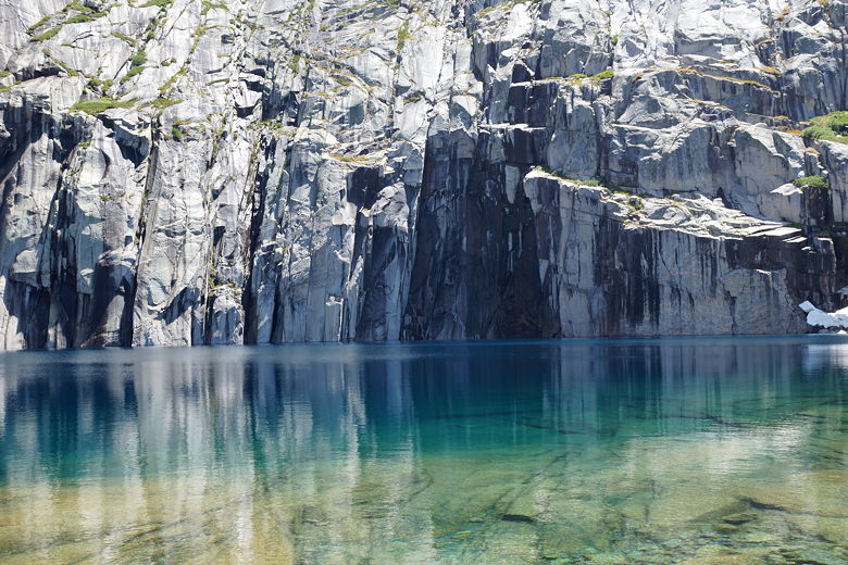
Hamilton Lake
Once I actually got onto that section of trail, though, the reality is that it's fairly
wide and there's not much actual danger. Still, it's an impressive sight. When we
got to the other side, we noticed what looked like cable hooks in blocks of cement. They
look new, as if they are planning to build a bridge here.
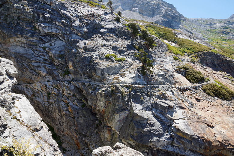
Scary part of the trail to Precipice Lake
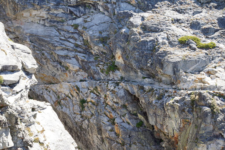
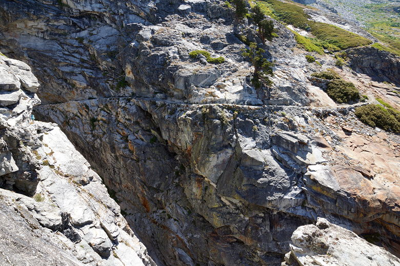
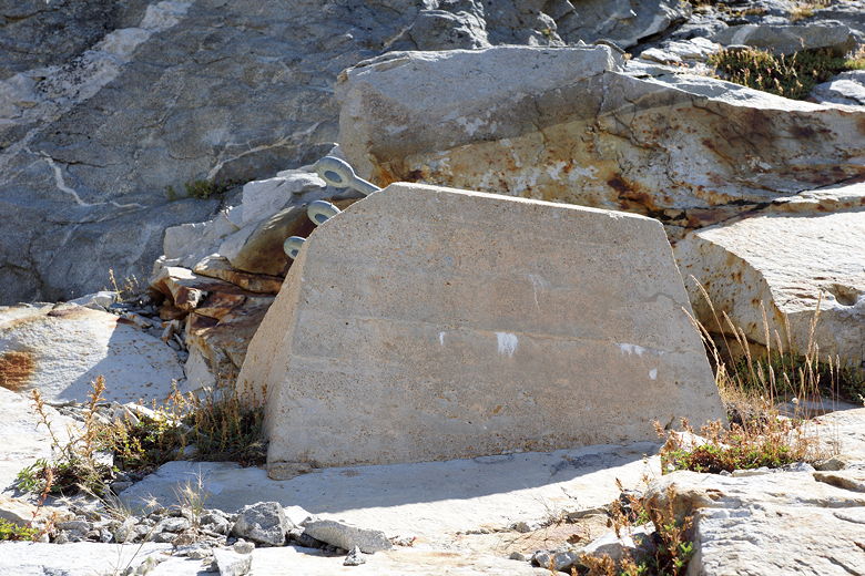
Cable anchor for a new bridge?
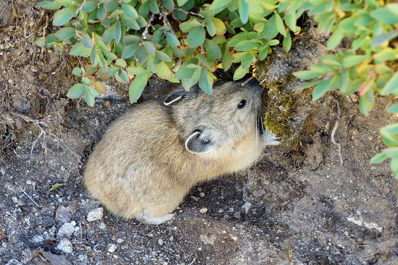
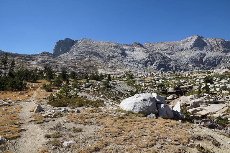
After that adventure, we continued onto a wildflower-lined trail, water spilling over the
trail in places. Nathan then spotted a scared little pika next to the trail. I took a
few pictures before we left it alone. Later on, I saw another pika scurry across the trail
with a piece of hay in its mouth. It disappeared into the rocks.
Resting on the trail to Precipice Lake
Pika
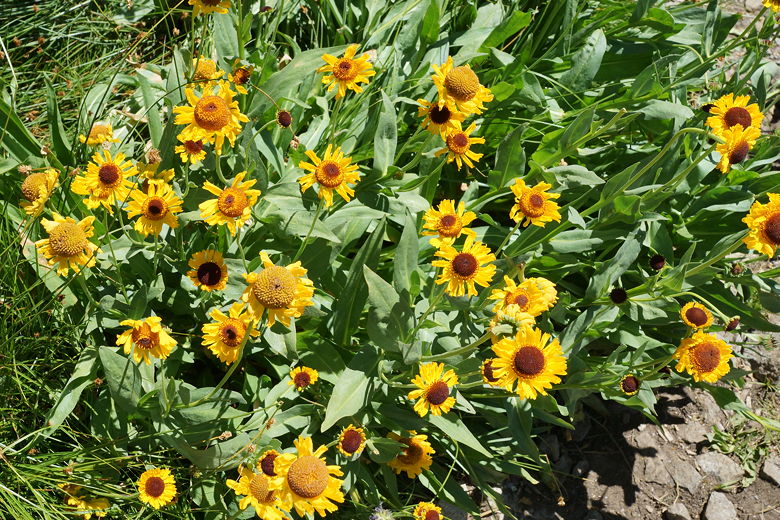
Sunflowers
Looking back at Hamilton Lake
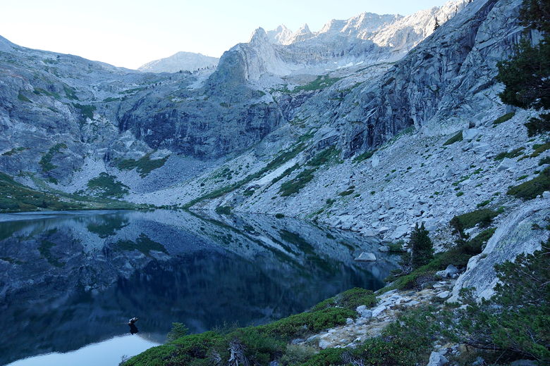
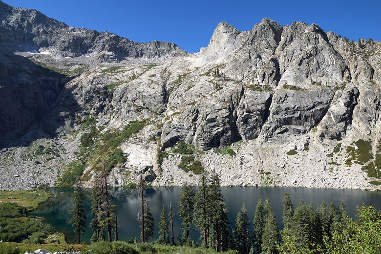
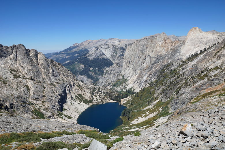
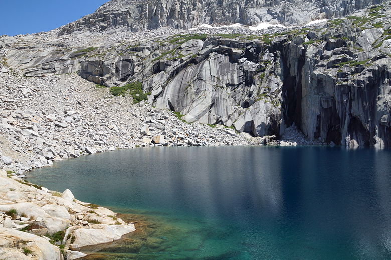
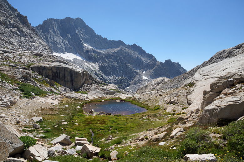
After climbing for 2-3 hours, we came to a small unnamed lake below Precipice Lake.
There's no shade here, and it didn't look like there were any places to camp either.
But it was a fine place for a snack break. I saw a marmot here as we rested. There were
two other people here at the lake. In general, we saw few people on the trail today -
maybe about 10.
Looking up toward Precipice Lake
Unnamed lake below Precipice Lake
Unnamed lake below Precipice Lake
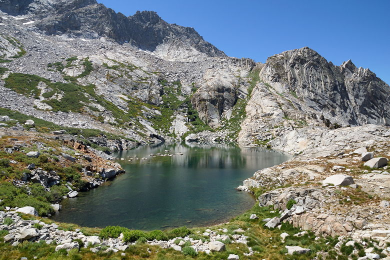
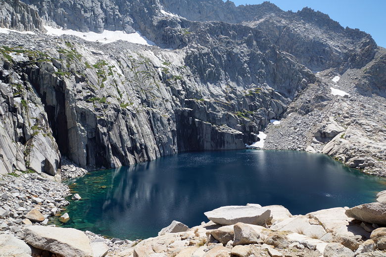
After our break, we climbed a few hundred feet to reach Precipice Lake. I had heard/seen
that this was a pretty lake but it would be hard to find a campsite to fit our tent.
This was pretty accurate. There are a few places with spots for 1-person tents, but
we didn't see anything bigger. There are no trees here. I will also offer the opinion
that while the lake photographs well, when you step back it's not the prettiest lake
in the area. It seems a bit desolate, especially in the early afternoon sun, but maybe
some people like desolate. I'm sure it's probably a better place to be in the evening.
Precipice Lake
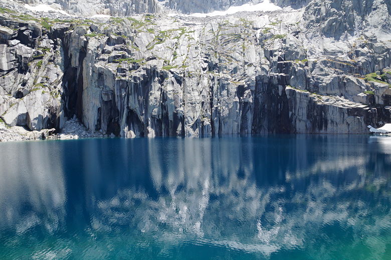
Precipice Lake
Precipice Lake
Eagle Scout Peak above Precipice Lake
Precipice Lake
Precipice Lake
Precipice Lake
Precipice Lake
Precipice Lake
Precipice Lake
Precipice Lake
Precipice Lake outlet stream
Precipice Lake
The two photographers were at the lake, in no hurry to pitch their tents. Eric and Kevin
were also here, taking their time. I didn't want a repeat of yesterday, so I filtered
water from the lake and refilled our Camelbaks. After a long break we finally left the
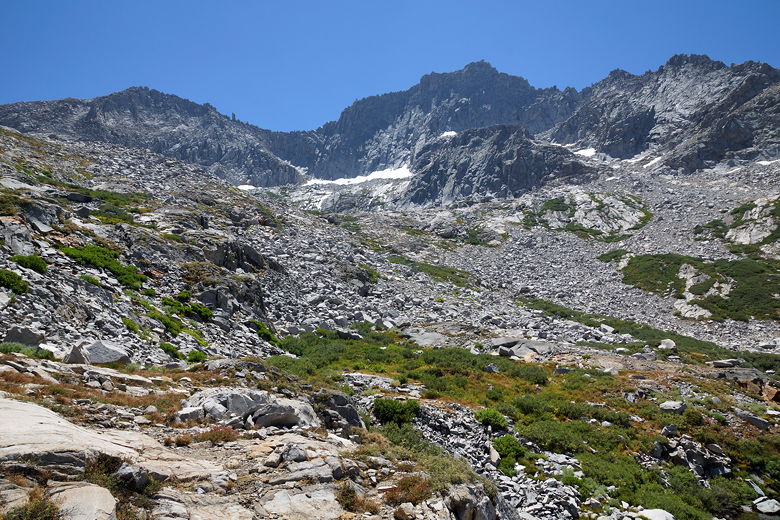
lake at 2:15pm. Almost immediately we started seeing small ponds on the climb up to Kaweah
Gap. It's a pretty gradual climb up to the gap from the lake, and soon enough we were
there.
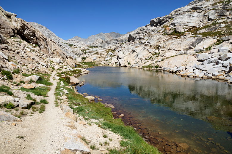
Pond past Precipice Lake
Pond past Precipice Lake, and Eagle Scout Peak
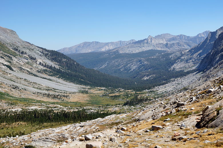
From the top you can see a lake off to the north (left) - part of the Nine Lake Basin.
To the south is the Big Arroyo - rocky and sandy near the top, green forests near the
bottom. We talked to Eric and Kevin a bit here before they descended. Soon after,
around 3:15pm, we followed suit. By this time it was pretty apparent that we weren't
going to make it to Little Five Lakes. But I had heard that camping at Big Arroyo was nice, so
I was fine with that.
Nine Lake Basin from Kaweah Gap
Valley view from Kaweah Gap
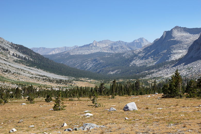
The descent is never really steep. In fact it flattens out in places. We caught
up to Eric and Kevin where they had stopped to rest at a creek crossing. Then we even
encountered some short uphill sections. The descent from Kaweah Gap to Big Arroyo camp
is only about 3 miles, but it seemed longer. I was exhausted from having to carry 60+
pounds for three consecutive days (I think everyone else's pack got lighter each day,
while mine stayed the same), and it was really beginning to wear on me as everyone else
in my family sped away from me under their lighter packs. We'd have to distribute the
weight tomorrow. (Sorry for the whining, but it all worked out much better the next day
when I didn't have to carry the entire 4-person tent.)
Looking back at Kaweah Gap
Descending to Big Arroyo
Creek
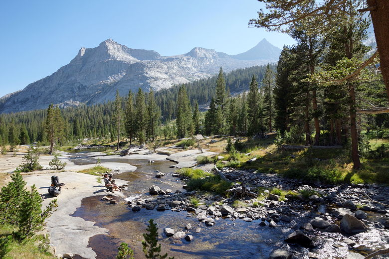
Hikers resting by the creek
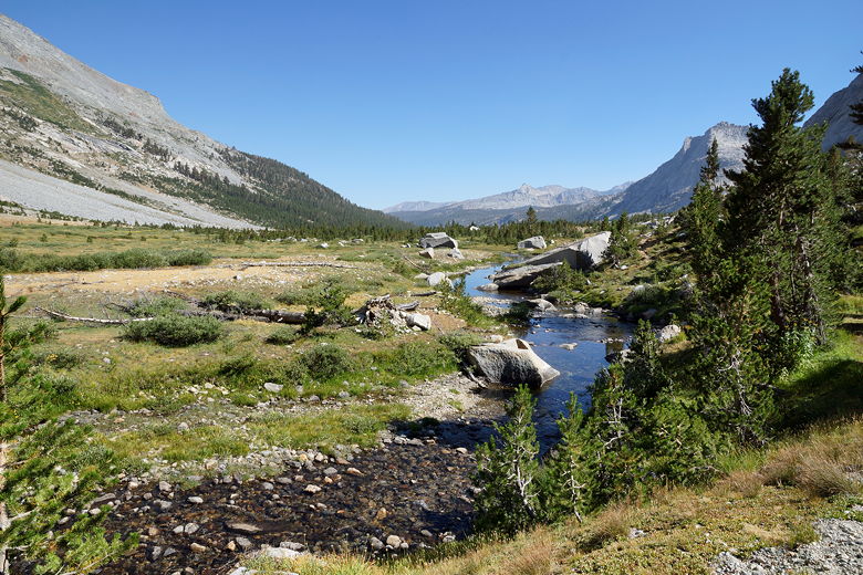
Finally, we passed an unmarked cabin and then came to the Big Arroyo camp. There's
a bear box here, and several people were already set up. We looked around, trying to
find a nice spot that wasn't right next to someone, eventually finding one up a little
hill. We had plenty of privacy back there, and we weren't that far from the water.
On my numerous trips back and forth to the water and the bear box, I chatted briefly
with an older couple from Philadelphia. They were camping near the bear box. We
had seen them briefly at Hamilton Lake the night before. They were out for 14 days
and were heading down to Kern Hot Spring tomorrow. We, on the other hand, since we
had stopped at Big Arroyo instead of Little Five Lakes, had a long tough day ahead of
us. I set the alarm on my watch.
| 

