|
Today would be another long day, with 2 passes, so we got started early,
around 8:50am. Just before we left, about a half dozen hikers descended
past our camp. They'd stayed at some sites about a half mile from us.
They'd gone up and over Burro Pass yesterday, when conditions were not
great. But today it was clear and sunny for us.
It had been noticeably cooler overnight, but it warmed up quickly once
we started moving and the sun came over the mountain tops. The trail
continued to climb gradually up. Soon enough we passed some campsites.
They were set amongst some trees and looked fairly nice, but they still
didn't look level. We also would have had to share the space with
others if we had camped there last night. There was one site a little
further on which looked more level, but there's no guarantee it would
have been available.

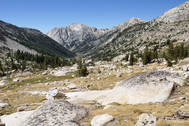
Matterhorn Canyon
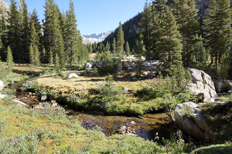
Matterhorn Creek
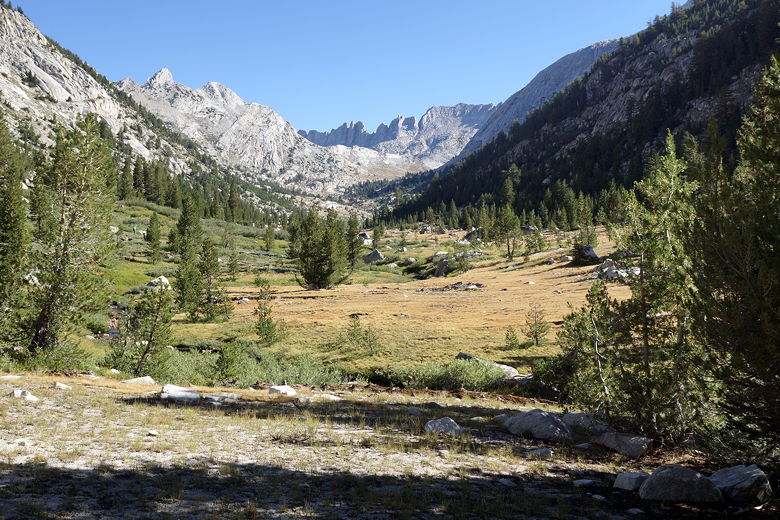
Matterhorn Canyon
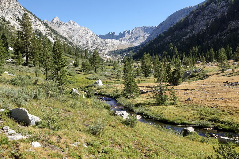
Matterhorn Canyon
The views started to open up as we ascended. We could see the surrounding
mountains, Matterhorn Peak, and our first goal for today, Burro Pass. Snow
still clung to some of the upper north-facing reaches of some of the peaks.
On the final switchbacks up to Burro Pass, we saw two trail crew workers
(probably CCC).

Looking back down Matterhorn Canyon
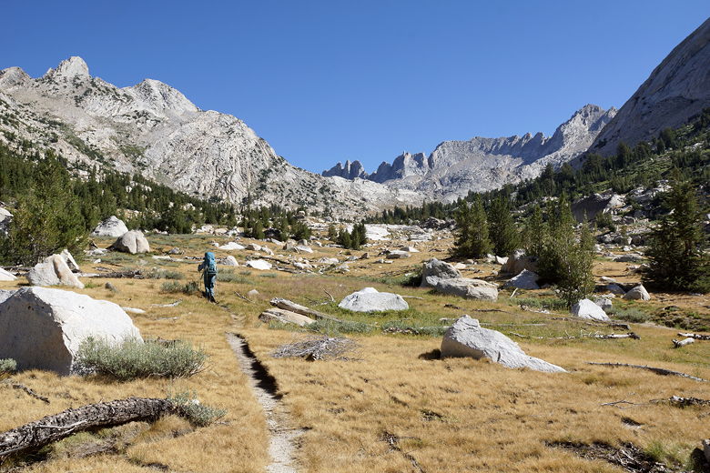
Heading up Matterhorn Canyon
Looking back down Matterhorn Canyon
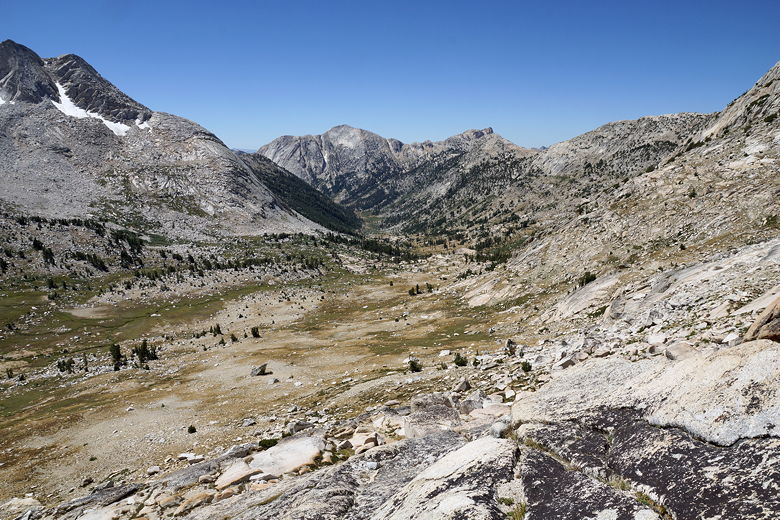
Looking back down Matterhorn Canyon
We crested the pass around 11:30am, and could clearly see the jagged top of the Sawtooth
Ridge. After a break here, we started the descent on switchbacks,
passing several more trail crew workers. After the rocky switchbacks the
trail continues through an often muddy area. Piute Creek flows through it,
and water is visible in patches here and there.
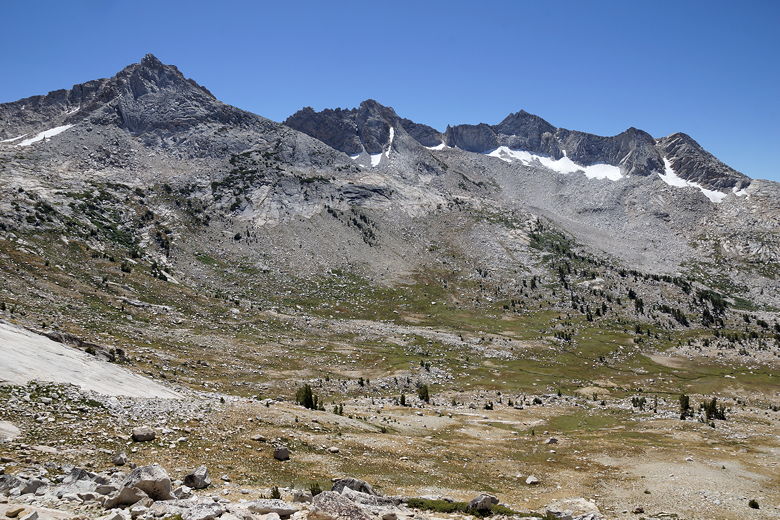
Mountains to the east

Matterhorn Peak and Sawtooth Ridge
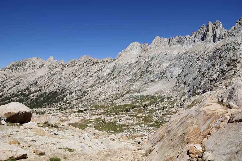
View on the other side of Burro Pass
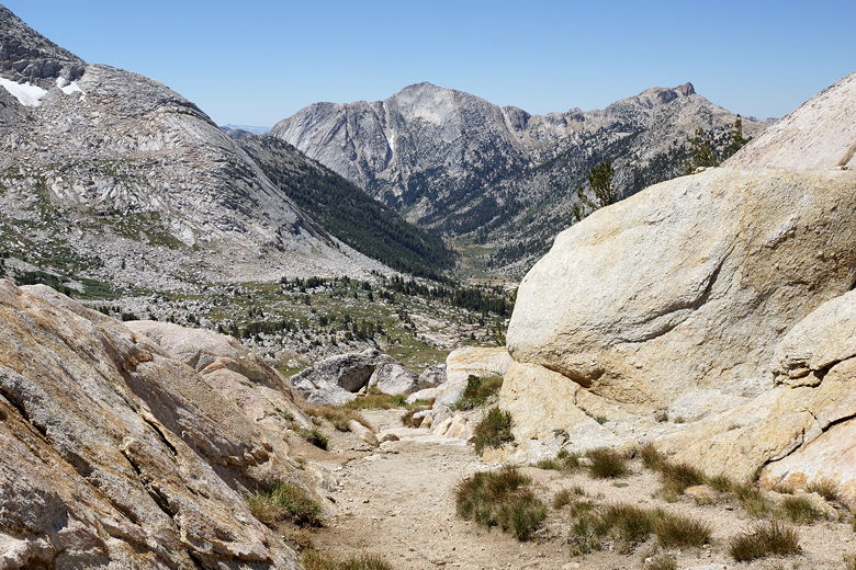
View from Burro Pass
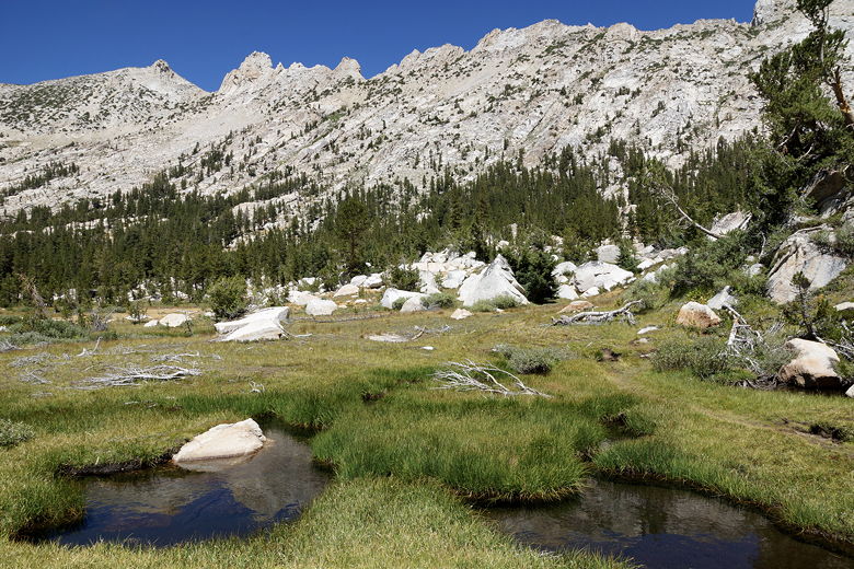
Descending from Burro Pass
Eventually, the ground turns solid and the trail enters an open forest as it
continues to descend. I started to worry about water, since we still had
another pass to climb and it was a hot day. So as soon as the trail started
to climb up away from the creek, we stopped to filter water. While we were
there a couple of hikers passed us, also on their way to Crown Lake (they'd
camped at the base of Matterhorn Canyon last night).
After refilling on water, we started the climb up to Mule Pass. This is about
a 1000 foot climb, but it seemed worse. It didn't seem bad at first. But
then we reached a plateau, turned a corner, and then started climbing again.
At one point there's a short descent followed by more climbing as
the trail exits the forest for good. And then after reaching another plateau
there's another sharp turn and more climbing. It was a weird circuitous
route and it was difficult to figure out where it would lead; so many false
summits.
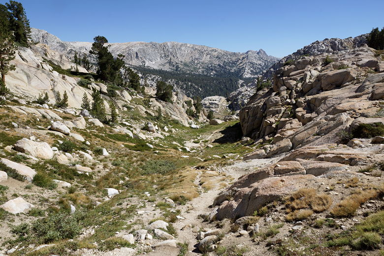
Looking back from the climb to Mule Pass

View from the climb to Mule Pass
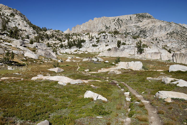
View from the climb to Mule Pass
The final part of the climb was only about 200 feet, but up short steep switchbacks.
It was rather windy at the top, so we went down the other side a bit before
taking a short break under some trees. Then we continued the descent,
which starts with an easy descent on sandy switchbacks to a plateau with
a tarn at the edge.
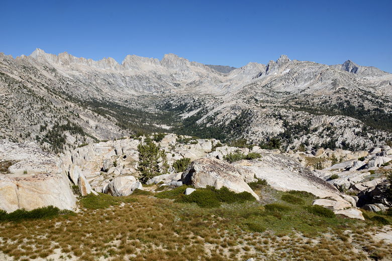
View from Mule Pass
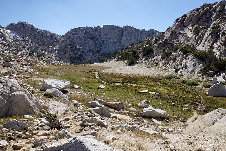
View of the other side of Mule Pass
Another couple hikers passed us, also on the way to Crown Lake. We had
thoughts of continuing to Robinson Lake if we had the time/energy, but
it was starting to look like Crown Lake would be it. I asked the people
who passed us if they knew which lake was better, but this was their
first time visiting them as well.

Descending from Mule Pass
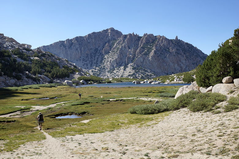
Descending to the tarn

Descending to the tarn

Looking back from the tarn
After passing the tarn, the trail continues down rocky switchbacks,
navigating a tangled mess of talus. At the bottom we crossed the creek and
came to an intersection - supposedly 1.4 miles from the top of the pass, but
it seemed much longer. The left fork would take us over Rock Island Pass
and we could head back around to Peeler Lake (the long way), so we
took the right fork to continue to Crown Lake.
When we finally saw Crown Lake, I laughed a bit
because my GPS (and the trail map) showed a direct line from where we
were down to the lake, but in fact there was a series of several switchbacks
we had to descend. As we descended, we could see three tents set up
on the southern shore of Crown Lake. We found a nice site near the
southwestern shore of the lake and set up camp there. It was about 6pm
by this time. We could have continued to Robinson Lake (maybe a half
hour further), but I didn't have the energy.
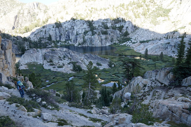
Descending the switchbacks to Crown Lake
The fish were jumping in the lake, but there was no great sunset to be had
tonight (no clouds the entire day). Also, the wind was picking up and we
didn't have a lot of
shelter from the wind, so we settled down for a windy night, hoping
to get as much sleep as we could.
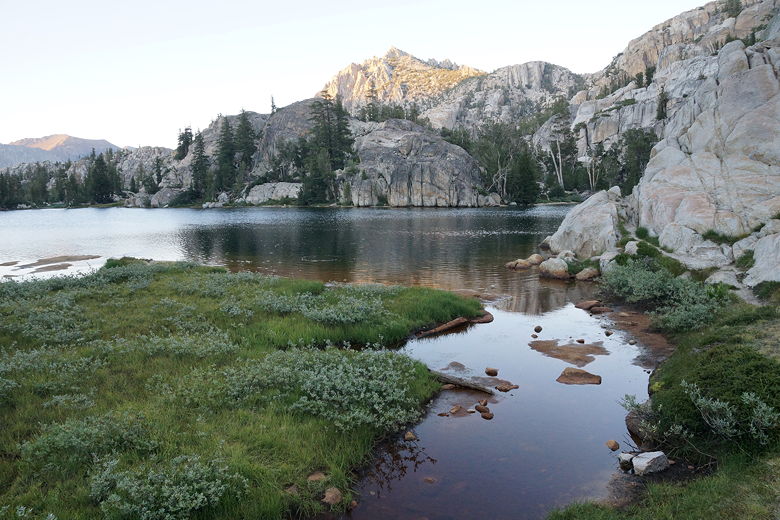
Crown Lake
| 


