|
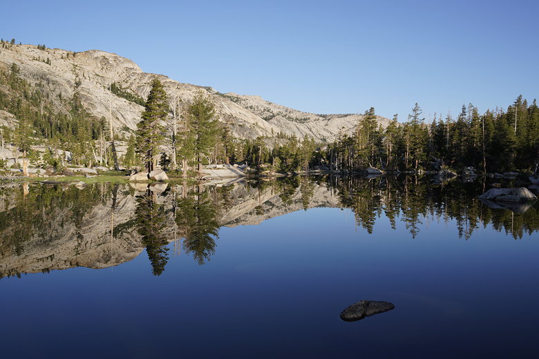
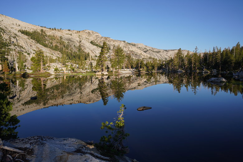
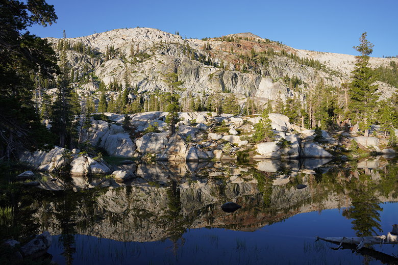
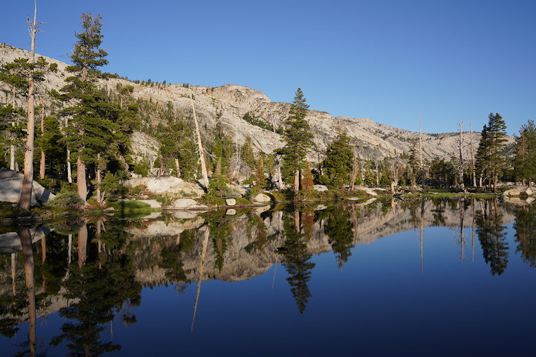
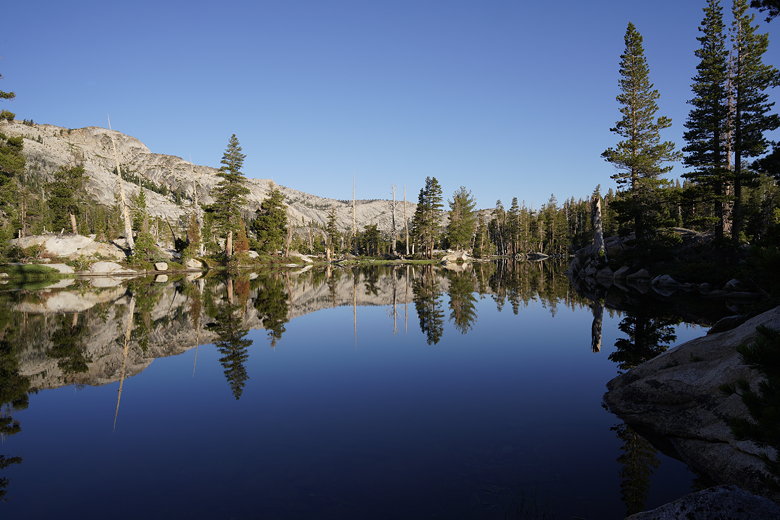
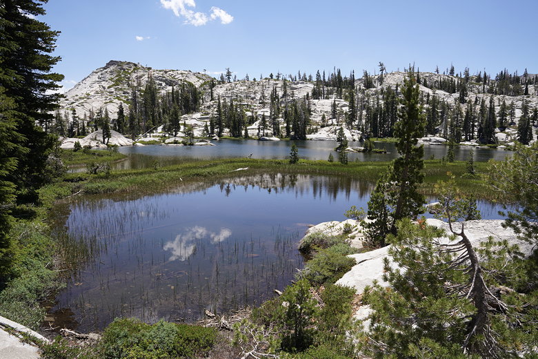
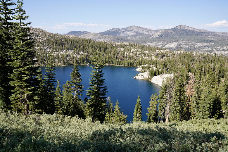
In the morning, the reflections in the lake were even better than they had
been in the evening. I took many pictures in the early morning. As I did
so, I noticed the people who had been camping across the lake from us were
packed up and heading out already. They were heading in the direction of
Camper Flat. We weren't sure where the trail continued, so at least watching
them gave me an idea of where the trail was.

Morning reflections in 4-Qs Lake
Morning reflections in 4-Qs Lake
Morning reflections in 4-Qs Lake
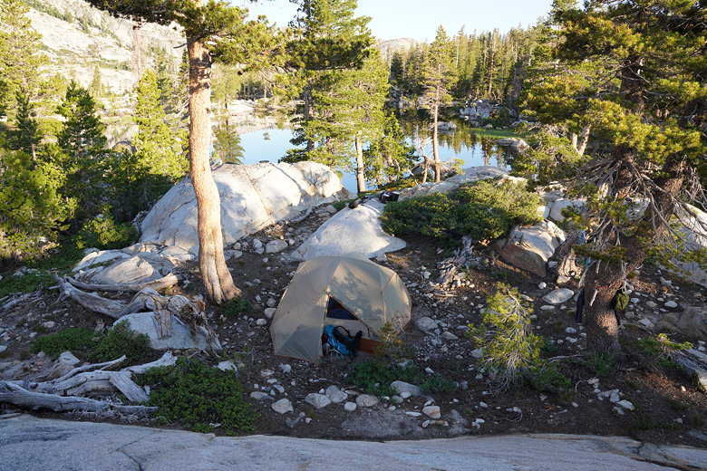
Campsite at 4-Qs Lakes
Tent at 4-Qs Lakes
Morning reflections in 4-Qs Lake
Morning reflections in 4-Qs Lake
Morning reflections in 4-Qs Lake
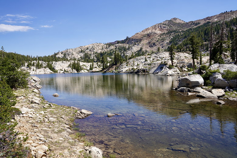
We left camp around 9am, heading along what we thought was the trail. We
were wrong. It lead to a dead end at the edge of one of the lakes. We backtracked
and realized that there's a small series of rocks that leads across a short
section between two of the lakes, so you're essentially walking through the
lake.
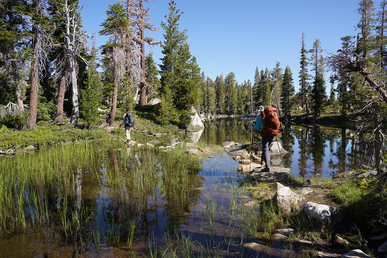
Crossing 4-Qs Lake
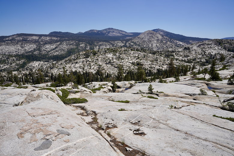
Once on the other side, the trail starts to descend away from the lakes. The
trail is a bit hard to follow in some places. At one point a rock stack seemed
to lead uphill, but it was apparently misplaced (or at least misleading).
But we knew the trail basically followed the creek before crossing it, so we
couldn't get too lost.
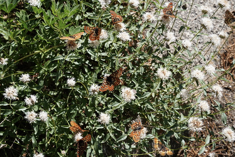
Butterflies
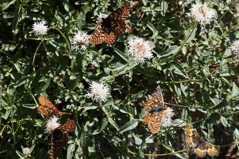
Butterflies
A group of 3 backpackers passed us from behind, and I made a comment that
it would now be the blind leading the blind. Sure enough, after we
followed them a bit, they lost the trail briefly. But eventually we all
made it to the creek crossing.
Now the trail was even harder to follow. Rock stacks were scattered here and there
almost randomly. The trail climbs steeply over open granite, so you can't really
get lost per se, but some routes are easier than others considering the steepness.
A few backpackers descended past us (in the opposite direction), which at least
encouraged us to know that others recently hiked where we were going.
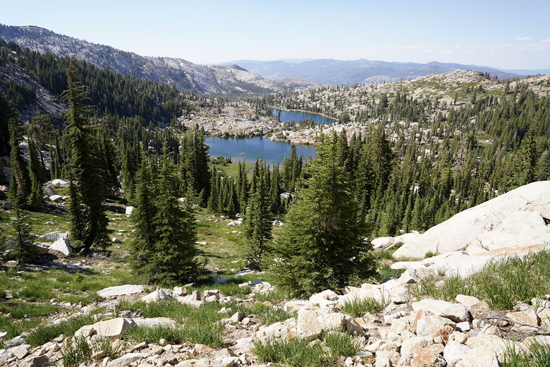
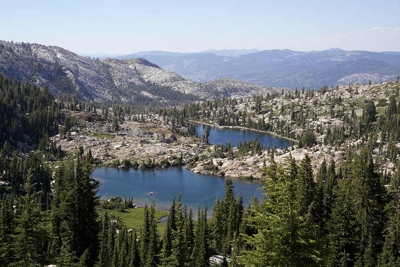
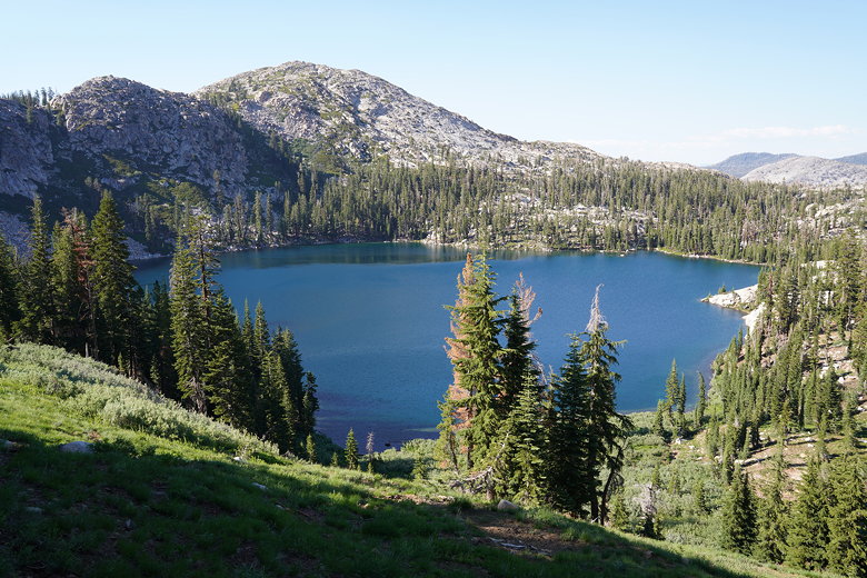
After a tough slog up, we reached the top and rested at Horseshoe Lake for quite
some time. It was another very warm day, so we found some shady boulders near
the shore, overlooking the marshy lake.
Looking back on the climb to Horseshoe Lake
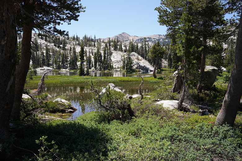
Horseshoe Lake
Horseshoe Lake
This was supposed to be a relatively short day, with only about 7 miles of hiking today, but
they were tough. In addition to the terrain, the trail was often hard to follow, and
the heat was an issue as well. After a long break, we left Horseshoe Lake around
12:30pm. We almost promptly lost the trail again, lost in a forest. Well, not completely
lost since we knew we had to exit and cross a creek, but we lost the thread of the trail
and had to backtrack and find it. And when we did find the trail section we'd missed,
it was very overgrown.
After crossing the creek it wasn't too long before we reached McConnell Lake. Well,
what's left of it. It looks like it's turning into more of a meadow, with a couple
large ponds in the middle. Still, we found ample shade overlooking the lake and
took another break.

McConnell Lake
Then it was downhill past the lake before starting a steady uphill climb to Leland Lakes.
There are two lakes here, and we stopped at the first one. We filtered water and
I dunked my hat in the lake and put it back on, drenching myself. I'd be dry
within minutes, it was that hot.
Leland Lake
After our break we continued the climb. We climbed past some campers at the far end of
the first lake, then continued past the second lake (though the trail doesn't come
that close to the second lake). The trail then starts a steep climb up to the pass.
They apparently didn't like switchbacks much when designing this trail, as it's very
steep. In one or two places we had to use our hands on the rocks and pull ourselves up.
Leland Lakes
Leland Lakes
The pass sits at about 8600 feet elevation. It was getting late, and we still had a long
descent ahead of us followed by yet another climb and descent. We could have camped
at Lake Schmidell to avoid some mileage today, but decided against it. Instead we made
the long steep descent with nice views of Lake Schmidell to our left. Parts of it were
muddy, but almost all of it was steep. I'd hate to hike the opposite direction (though
I'm not sure there is a good direction).
Lake Schmidell

Lake Schmidell
Lake Schmidell
At the bottom we reached an intersection and turned right to head up toward Lake Lois.
We had been on this section of the trail ten years ago, in 2011. On that trip we had
camped at Lake Schmidell and hiked down to Clyde Lake, so we'd be repeating a few miles
of that trail on this trip.
The climb up from the intersection is partly forested, and steep, but not as steep as
the descent from the pass we had just done. After about a 400 foot climb, it eases
up and reaches an intersection with the Red Peak Stock Trail. We stayed to the left
to head down toward Lake Lois. It's only about a 10-15 minute descent down to the
lake.
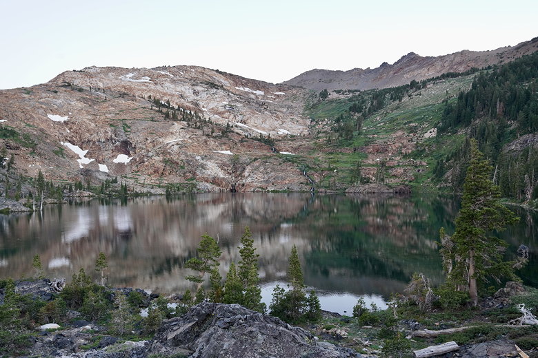
Lake Lois was different than I'd remembered it. It seemed bigger and starker. Perhaps
that's because of the lack of snow. In 2011 there had been lots of snow on the mountains
behind the lake, even in late August. Not this year, even in early July. There were tiny patches of snow, and a
trickle of a waterfall. Most of the lake was already in shade, since it was already around
6:30pm. We searched for campsites but could only really find one decent one. We saw other
backpackers looking for a campsite, coming from the opposite end of the lake. They
apparently didn't find anything and kept going; I suspect they ended up camping at Lake
Schmidell instead.
Jagged rocks at Lake Lois
The campsite we found was a little
close to the trail, but its main issue was mosquitoes. Tons of mosquitoes, many more than
anyplace else we'd encountered on the trip. We put on our bug nets and suffered through it,
as there wasn't really anything else we could do.
Lake Lois
It was also a bit of a hike down to the lake to get water to filter, but I did it anyway.
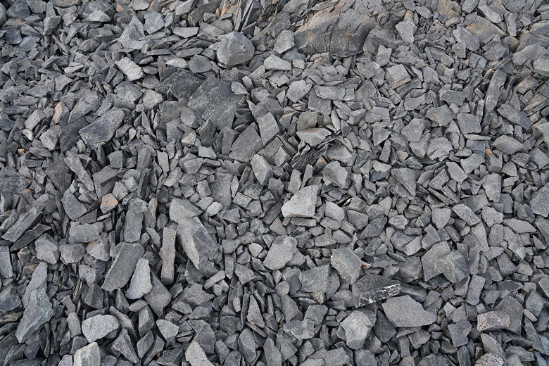
One of the reasons there aren't many campsite options here is that there's so much rock.
Not your typical granite slabs like in much of the Sierra. Instead, there are piles of
sharp rocks which are impossible to camp on. The next morning I did find a large campsite
further up next to some trees. I'm guessing it was there in an attempt to get away from
the mosquitoes, but
it didn't seem to help since there were still mosquitoes there when I went there.
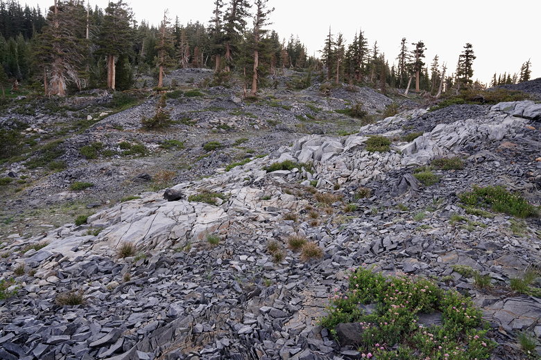
Rocky terrain above our campsite at Lake Lois
| 

