|
Since this was the last day, we woke up early and packed quickly, leaving
before 8am. We returned to the trail intersection and turned right,
heading downhill steeply on the Red Peak Trail.
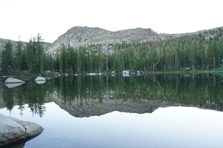
Morning reflections in Lake No. 3
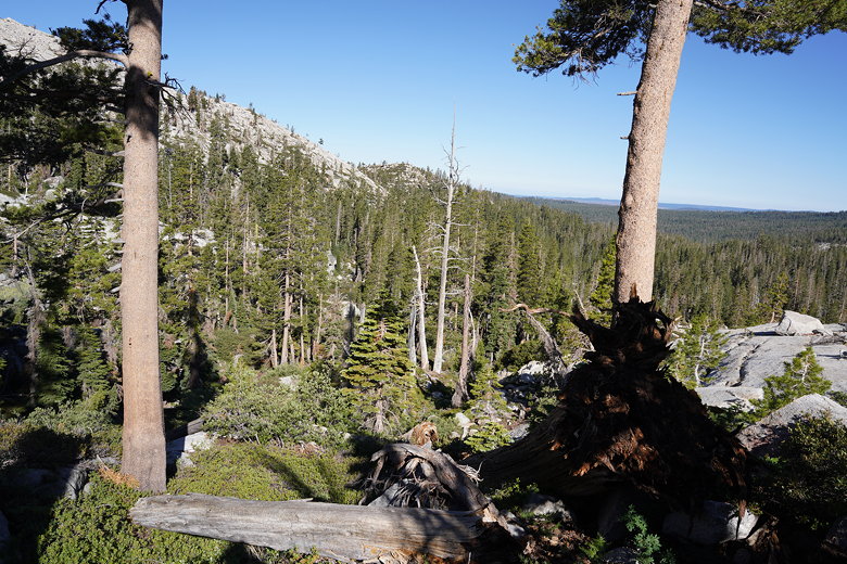
We had occasional views of the surrounding mountains and forest, but it
was otherwise unspectacular trail. As we descended further we encountered
more downed trees which we had to walk under, over, or around. Then, it
got worse. We came to a steep section where there wasn't just one downed tree,
or even 2 or 3. There were several downed trees, maybe a dozen or more,
sprawled all across the now unrecognizable trail, with shrubs scattered
in between to make it even more difficult.
Descending the Red Peak Trail
We scrambled over and around, branches and bushes scratching our legs
(even through our hiking pants). It was frustrating and time-consuming,
but eventually we made it through. From here, the trail got better,
passing many displays of wildflowers.
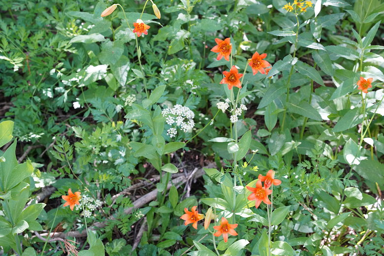
Flowers along the Red Peak Trail
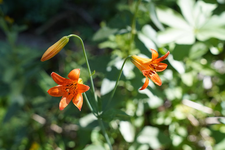
Flowers along the Red Peak Trail
We passed a sign for the Desolation Wilderness (which we were now leaving).
Soon after that the trail turned into an OHV road. This road looked like it
hadn't been used in a while, though, overgrown in many places. A mile after
the wilderness sign, we came to a sign noting the start of the Red Peak Trail.
Underneath was a notice warning of downed trees on the trail. No kidding.
I don't know how long the trail has been like this, and if they ever plan to
try to fix it. Or if they've just given up. It would take a lot of work
to cut a path through all those downed trees.

Red Peak Trail sign
We passed an intersection (signed!) for the Bassi Trail, then reached an essentially
4-way intersection. We followed the sign for the Loon Lake Trail,
knowing we were getting close to the end. After a final food break, we continued along
the dirt road as it climbed up and
turned into a switchbacking trail through the forest. Along the way we saw
the remnants of many old OHV roads, most of them overgrown and probably out of use for decades.
Unsurprisingly, we didn't see anyone on the trail. In fact, we hadn't seen anyone since the
unmarked trail intersection yesterday near Maud Lake. I can't think of any reason
anyone would take this trail other than doing the loop hike we just did (or at least hiking
to Lake No. 3). The trail isn't particularly scenic and doesn't really lead to anywhere
else of note.
A couple miles from the end, we could now see Loon Lake in the distance. We now descended into the
forest for the final stretch. Of course, fittingly we ran into a few more downed trees before
we reached the end. Finally we reached the end of the trail. But we weren't done. It wasn't clear
where we were. Well, I knew the trail to the left would probably lead to the campground. But the
trail to the right was signed for "Desolation Wilderness" and would probably lead closer to the wilderness
parking area.
We took the right fork and immediately had second thoughts. A large downed tree blocked our path
(of course), and there was no sign of the trail at first. All we would see was little flags tied to
some branches marking the way. We followed these until we heard voices and saw cars through the
trees. We made a beeline for the cars and soon emerged in one of the campground loops.
Now on pavement, we still weren't exactly sure where we were, though I had a pretty good idea from
the drive in. We left the pavement briefly and somewhat miraculously emerged from the forest to
land right at our parked car. The rest of the wilderness parking lot was almost completely empty now.
After cleaning up a bit, we started the drive back to the Bay Area around 3:15pm. Taking the Placerville
route, we were back home by 7:30pm even after a break for ice cream and drinks.
| 

