|
Breakfast at the Hotel du Bois was 7am, as it was in most of the refuges we stayed at. We saw a lot of others at the hotel looking like they'd be starting the TMB today as well. After breakfast we did some final packing and weighing. My pack (including water and about 10 pounds of camera equipment) was 35 pounds. I think Nathan's was 28 (he also had a lot of camera equipment). Jean's and Jared's were about 22-23. Slightly more than we'd like, but still way lighter than what we're used to carrying.
We started off around 8:20am, walking along the main road. We immediately saw other hikers ahead and behind us. After a few minutes we saw the bakery (Eric Jacquier) we were told about and purchased some pre-made sandwiches. After stuffing them into our packs we went over to the ceremonial trail start sign and took a group picture. There were other hikers there and we took turns taking pictures of each other.
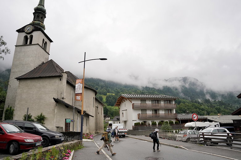
Starting off on the streets of Les Houches
The route continues along the road through town for a while longer before we turned left to hit the trail and an immediate steep uphill. We could now follow the omnipresent TMB signs.
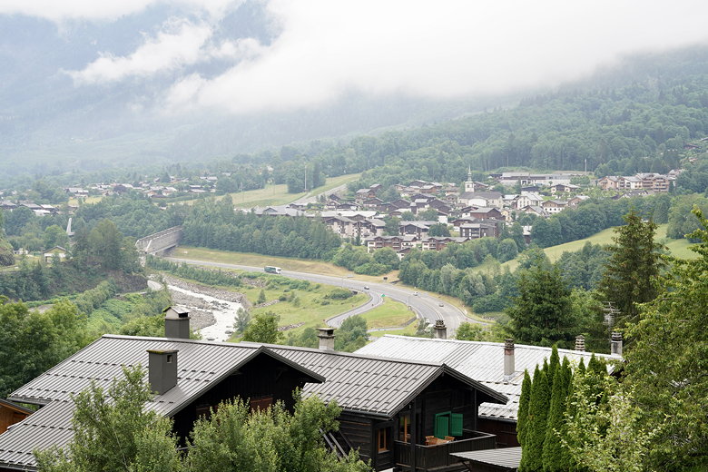
Looking back down at Les Houches
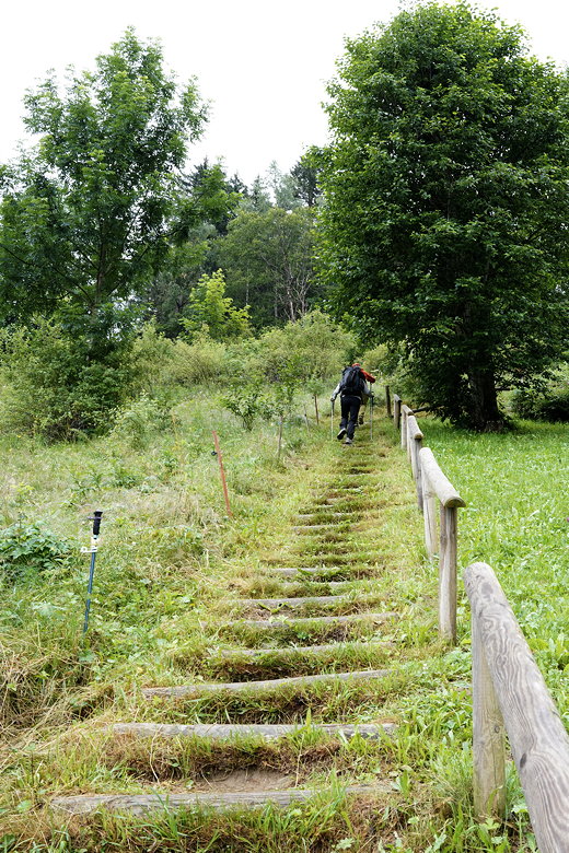
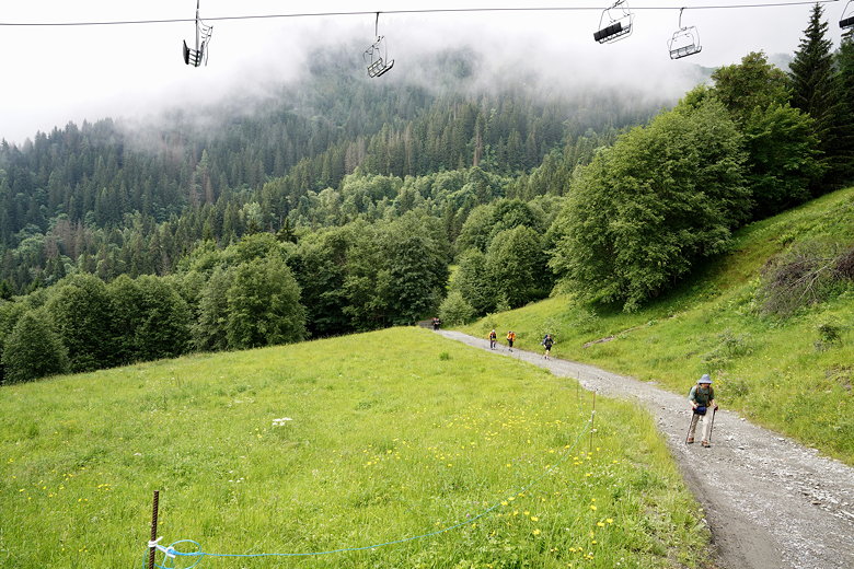
The climb begins
The climb continues, usually steeply, below or near a ski lift. After climbing for a while we saw some sheep near the trail, behind a fence. Soon after that we came to a restaurant (la Fré mi) next to the trail. We could have stopped here for a snack and drinks, but just kept going.
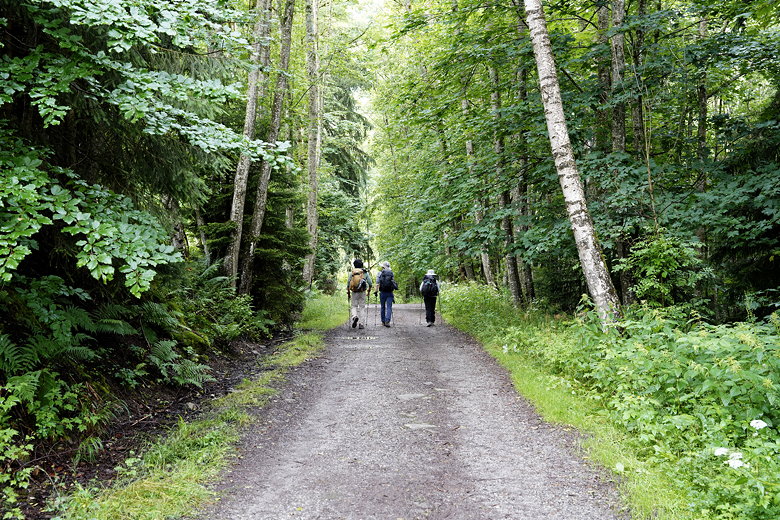
Through the forest
Climbing past ski lifts
The climb steepens
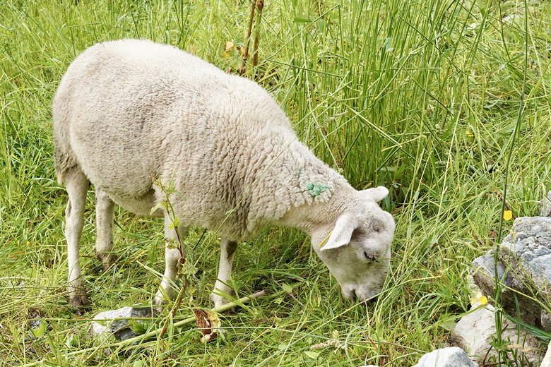
Sheep next to the trail
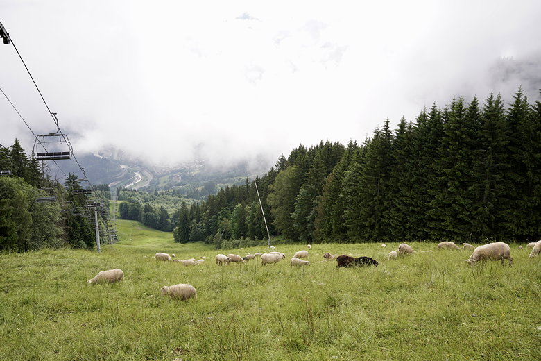
Sheep under the chair lifts
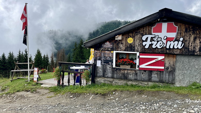
Restaurant near the top of the first climb
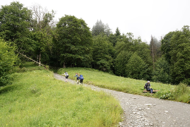
More climbing
After a brief flat section, the trail climbs some more. We passed the Col de Voza hotel (where I guess you can probably
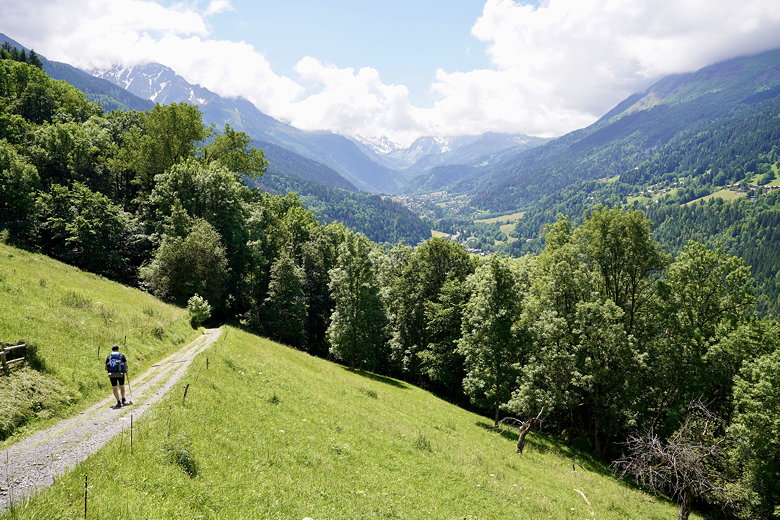
get a snack if you want). We then descended to and crossed some train tracks before starting a long steep descent. Higher up on the descent we stopped to view a snow-covered peak peeking out from behind the clouds, only to disappear again.

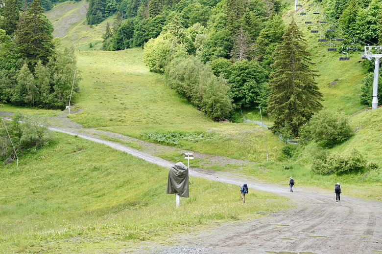
Starting the descent
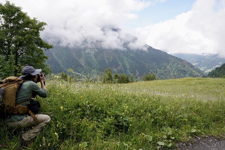
Checking out the view on the descent
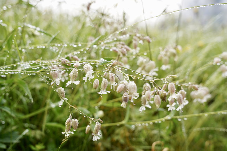
Dew on budding flowers

Snowy peaks in hiding
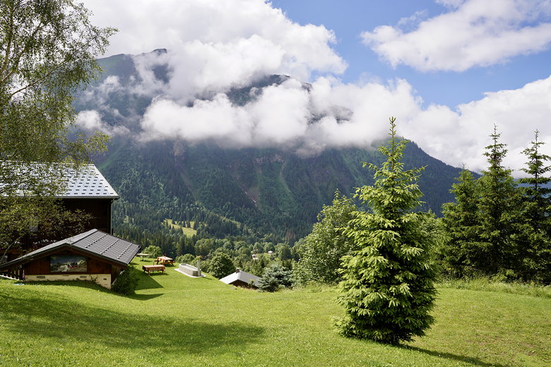
Someone's backyard I guess
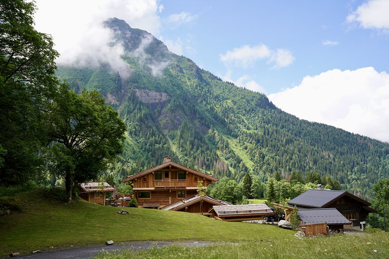
Nice place to live
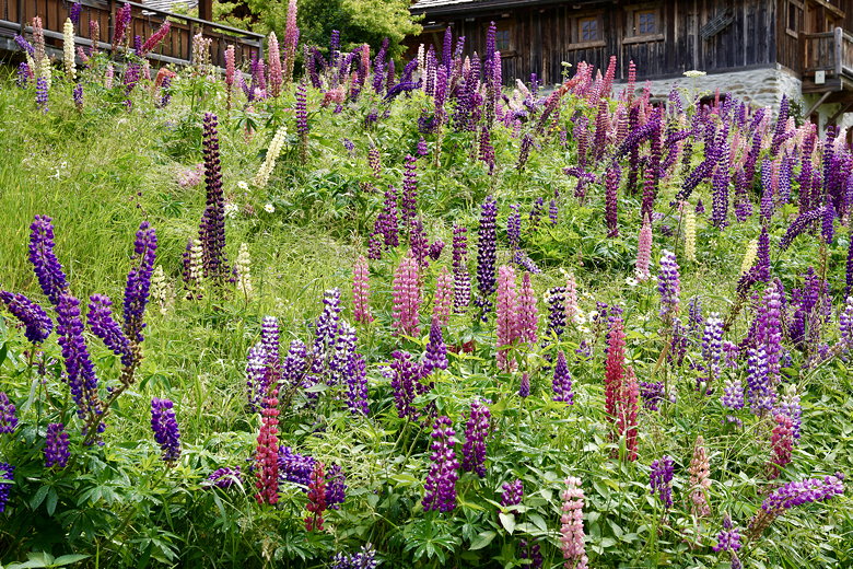
Lupine
We continued the descent as it passed some mountain homes. After crossing a creek we found a small clearing in which to have lunch. After our lunch break, we continued the descent. We now descended into small communities, on narrow winding streets rather than trails. The sun started to warm things up after a cool start to the day.
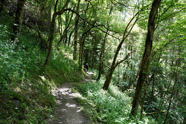
Continuing the descent in the forest
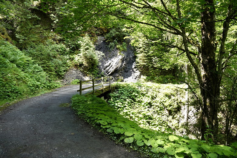
Rounding a corner
Descent
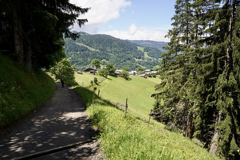
Descending toward Les Contamines
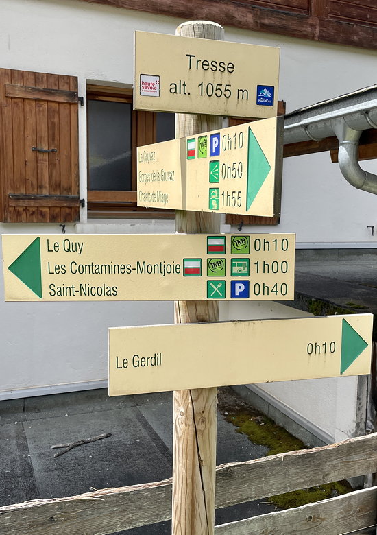
Typical TMB sign post
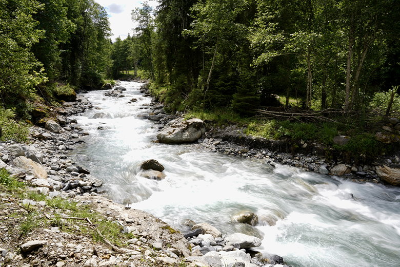
Bon-Nant river
We decided to make a slight detour into the Les Contamines center, where we bought some sodas and chips. After a short break we continued along the main road through town. Then we basically paralleled the river, crossing over at least a couple times.
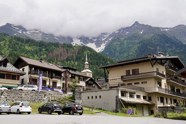
Les Contamines
Finally, we reached Gite Le Pontet. This is actually a large area that supports tent and RV camping sites as well. Our rental was a small cabin with 4 bedrooms, of which we had the bottom 2 and others had the top 2. There was a bathroom and shower on both floors. The complex also has places to buy food, though we just waited for the 7:15pm camper dinner which we had paid for. This consisted of a simple 3-course meal. It wasn't the tastiest, but we were hungry so it did the job.
After dinner, we discovered that they actually have laundry machines. We'd already washed and hung our clothes out to dry,
but they were still wet. So we used one of the dryers to help speed things up.
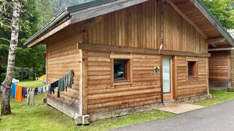
Our cabin at Gite Le Pontet
| 

