|
Breakfast was 7am as usual. We woke up a little early to pack up so we'd be ready to go right after breakfast. We slept decently the night before; no major issues.
Breakfast consisted of meat, cheese, bread, yogurt, orange juice/coffee, cereal, and hard boiled eggs. Nothing all that great, but this sort of breakfast was typical at all the refuges. However, I will admit that the bag lunch they gave us was great. Chicken sandwich was tasty and they also gave us an apple, egg, chips, and granola bar.
After breakfast we got ready and left around 7:50am. The weather forecast looked decent, though there was a threat of rain in the afternoon. The Facebook groups I had followed mentioned this stage as being potentially dangerous, especially in bad weather. So we wanted to get up and over before any rain. Someone had actually died on this stage about a week ago, though it wasn't clear from reports exactly what he had been doing.
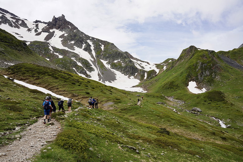
The route starts out flat, behind a golf driving range. We also passed the Church of Notre Dame de la Gorge and an incongruent giant construction crane nearby. We'd seen cranes yesterday as well, in small French villages.
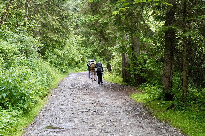
The trail starts off relatively flat
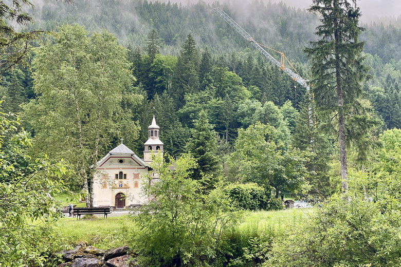
Notre Dame de la Gorge and construction crane
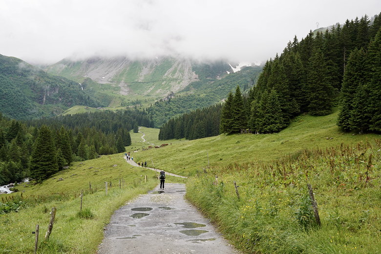
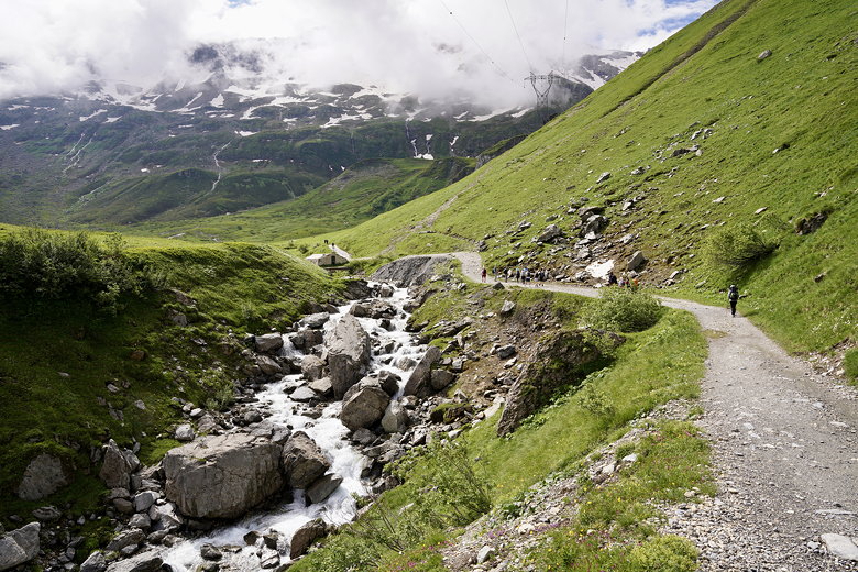
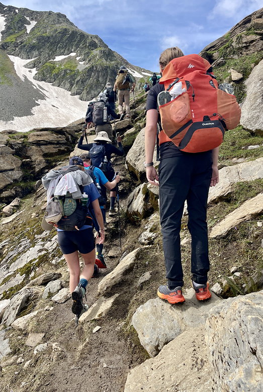
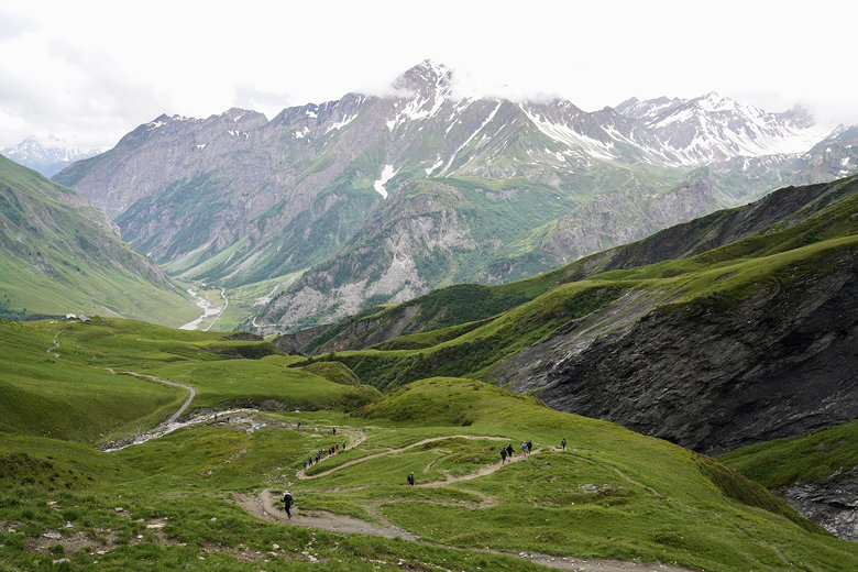
The route didn't stay flat for long. After the church the trail tilts steeply upward. We began to see a long, almost constant stream of TMB hikers heading uphill. The trail today would be about 7 miles of uphill followed by 3 miles of downhill.
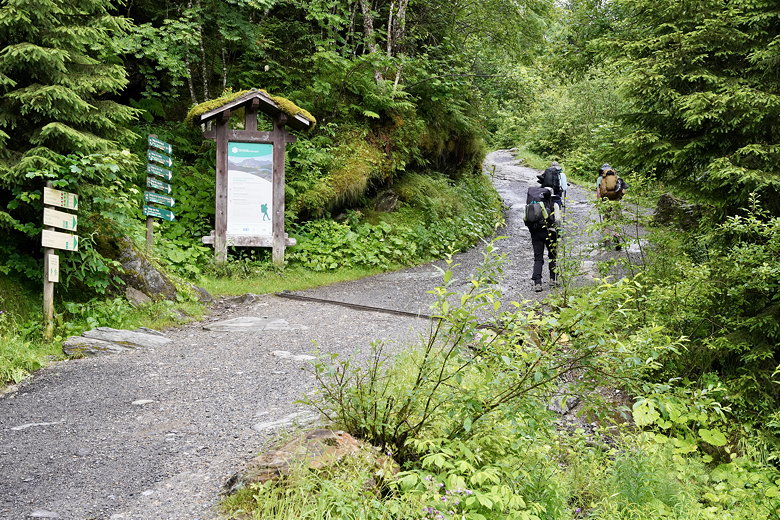
The steep climb begins
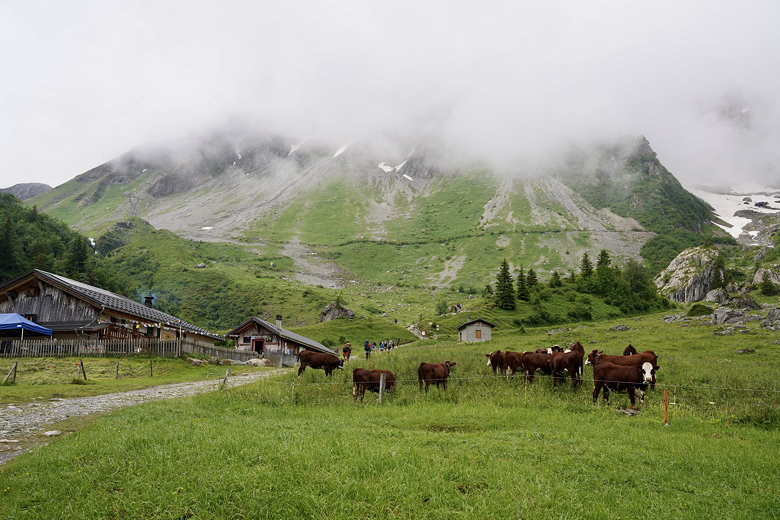
There isn't much to see near the start of the climb. There's forest on both sides. After a while we reached a nice waterfall just to the left of the trail. Then about 5 minutes later we reached a refuge, Nant Borant. We kept going without stopping there. It was probably too early for them to be serving lunch, anyway.
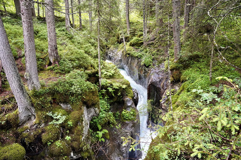
Bon-Nant waterfall
Chalet Nant Borant
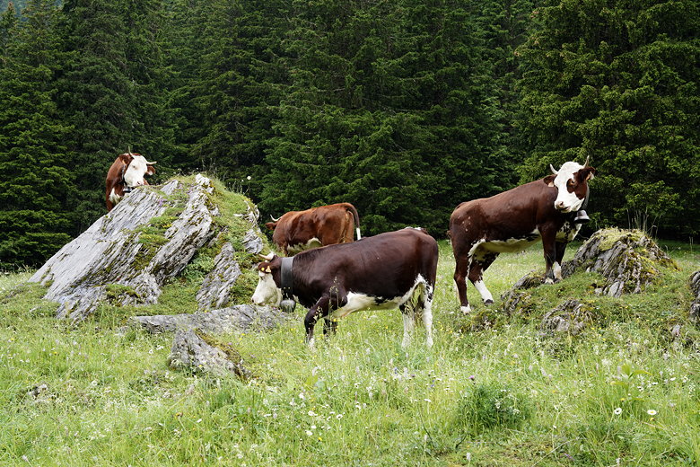
As we climbed, the views kept getting better and better. At one point the trail flattened out and we saw cows on both sides of the trail. They all had cowbells which made a constant racket.
We later passed Refuge de la Balme.
The trail flattens
Through the valley
Cows next to the trail
Approaching Refuge de la Balme
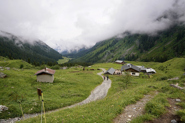
Looking back down at Refuge de la Balme
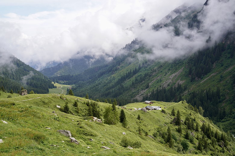
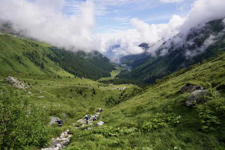
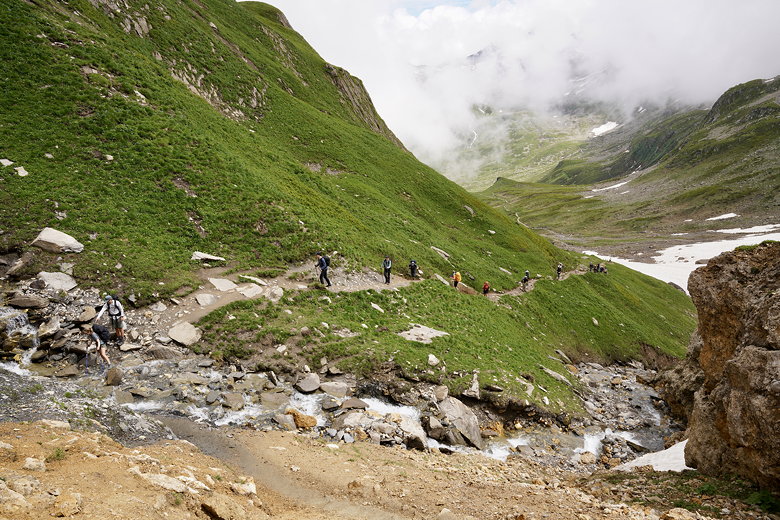
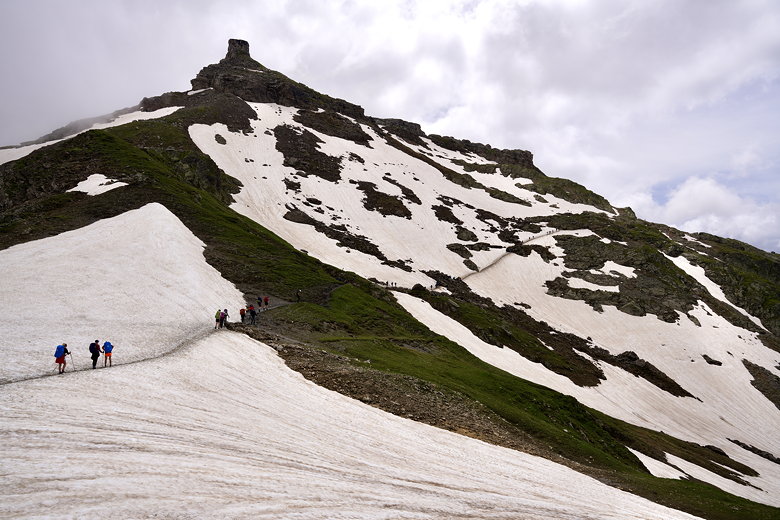
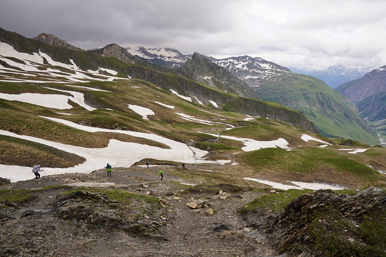
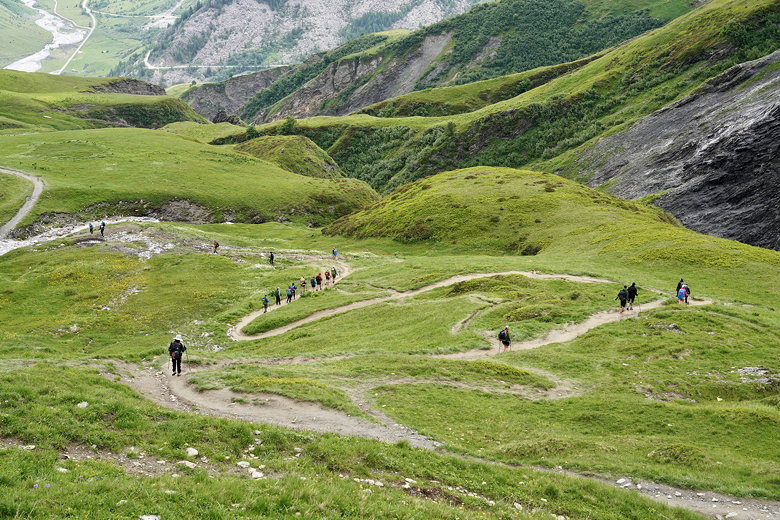
We climbed and climbed, often steeply on narrow trails,
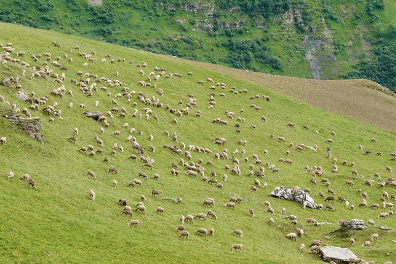
a line of hikers as far as the eye could see. We topped one climb near a transmission tower, then the trail flattened out for a while, sheep visible up the hills to the left.
View from higher up
Hikers making their way up
The trail flattens again
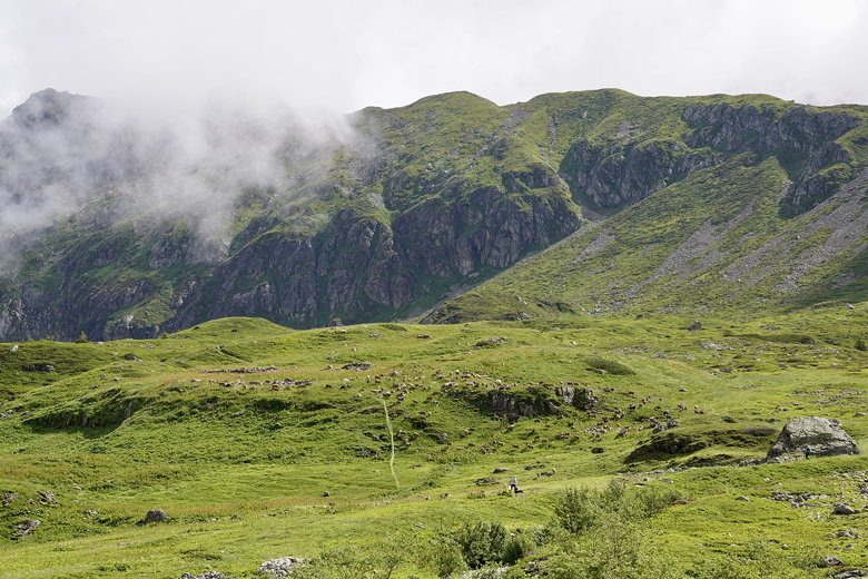
Sheep on the hill
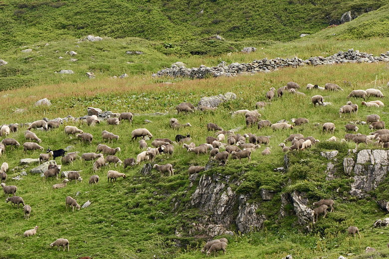
Close up of the sheep
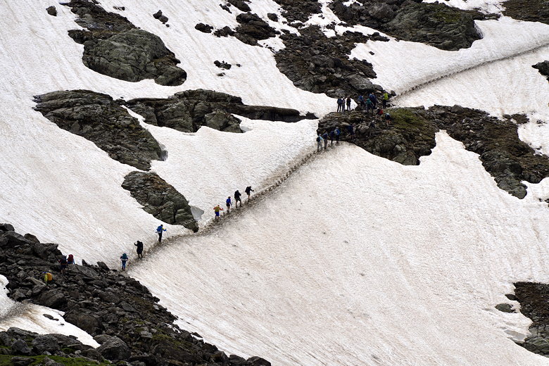
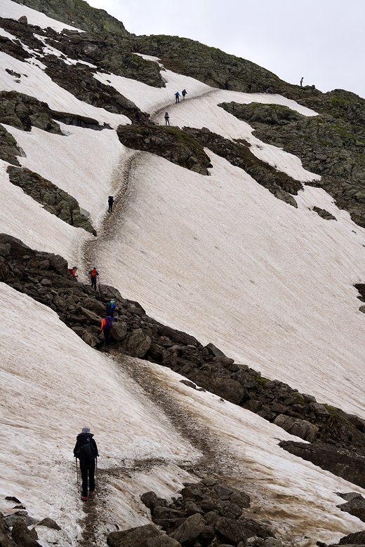
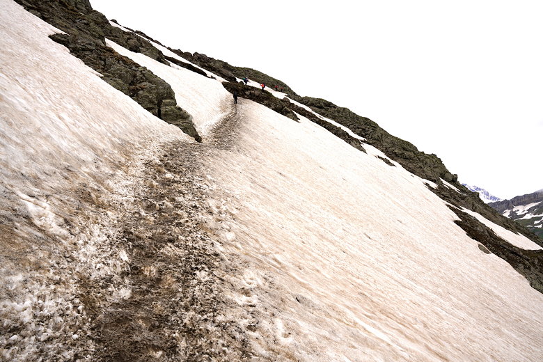
The trail was steep and muddy up to Col du Bonhomme, where a mass of people were taking a break, getting ready for the final push to the top. We paused here for a snack, then put on our microspikes. We could see snowy sections ahead, including one intimidating steep snowy section with a steep drop off. It was cooler now so we put on our jackets and started climbing.
Trail view
Hiking up the trail
Hiking up to a stream crossing
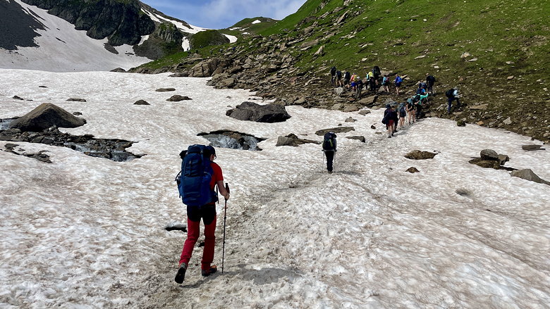
Crossing the snow
Looking back down the snowy slopes
Traffic jam
Almost to the top
Steep snow above Col du Bonhomme
Line of hikers on the snow
Wider view
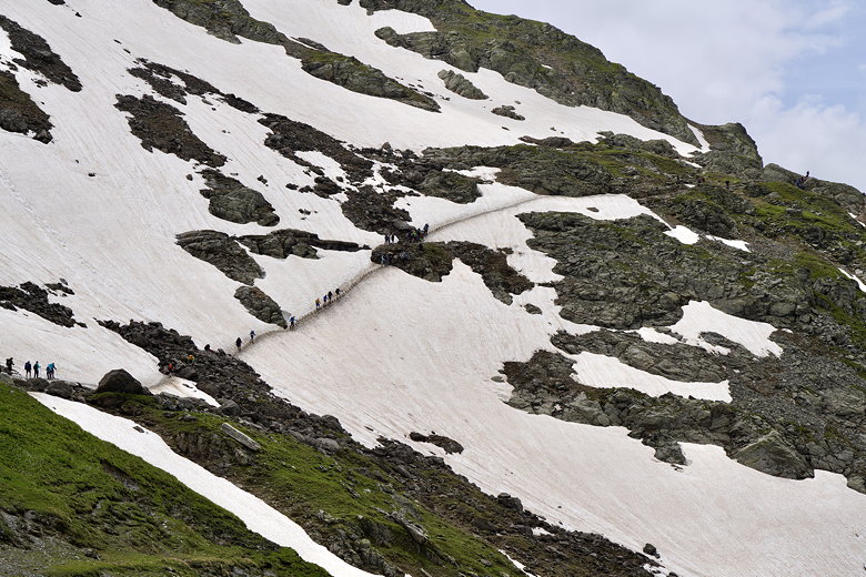
The spikes helped, but some hikers didn't bother with them. It actually wasn't that scary. The one thing that scared me was when a guy coming the opposite direction ran right toward me on the steep snowy section. He didn't even slow down; I thought he was going to knock me down the slope, but he passed uneventfully.
Starting the snowy climb up
View to the right
Snow slope
On the snow climb
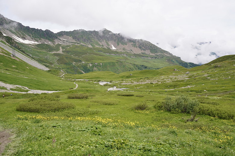
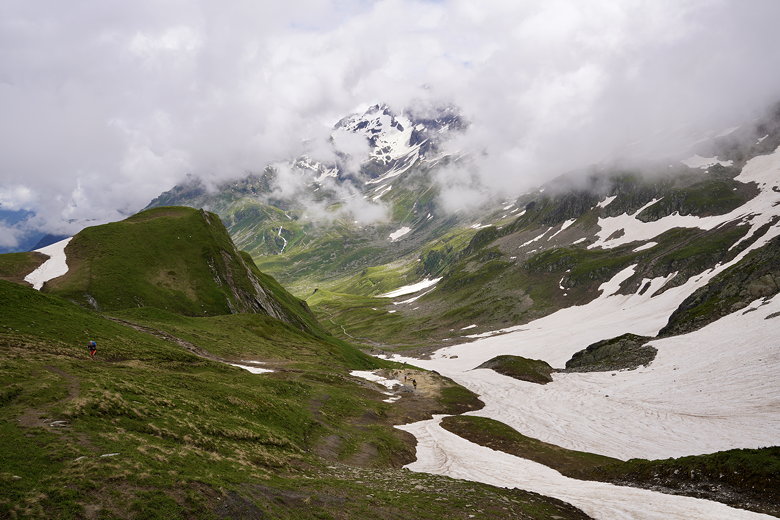
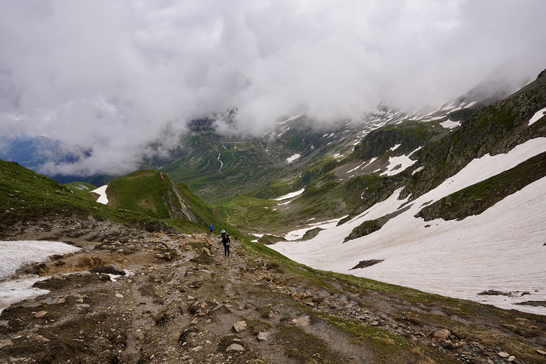
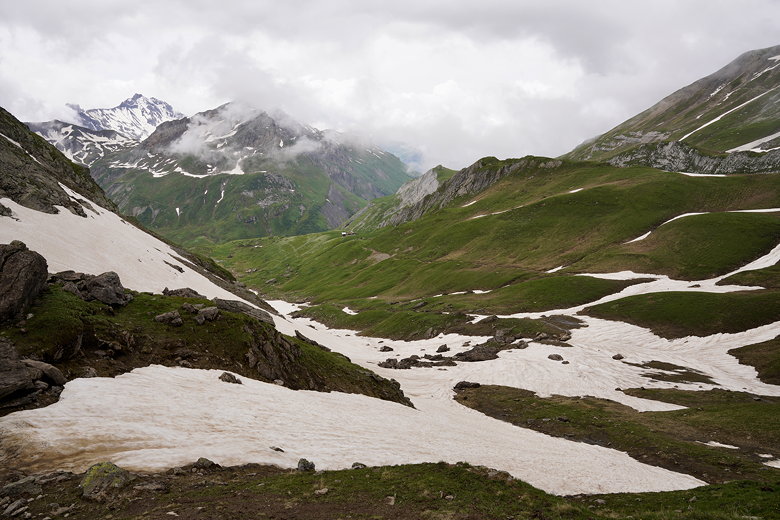
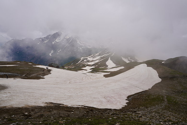
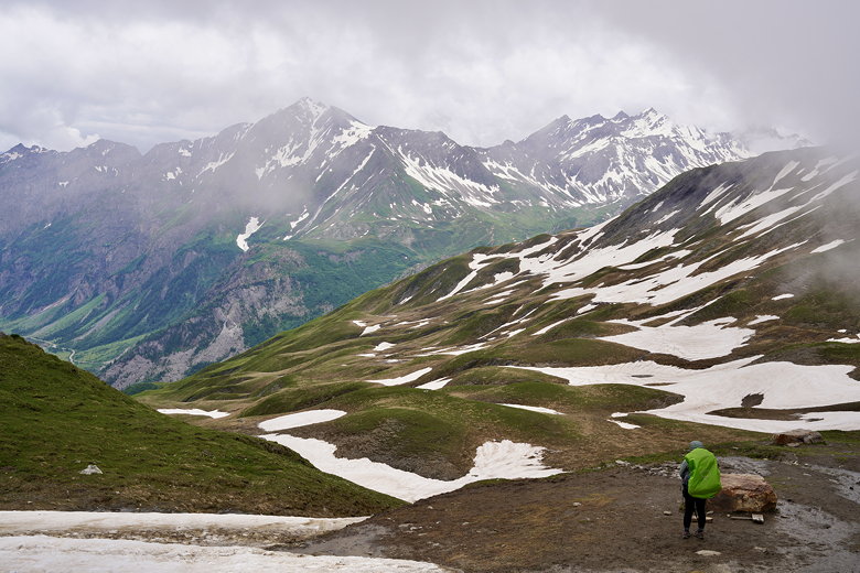
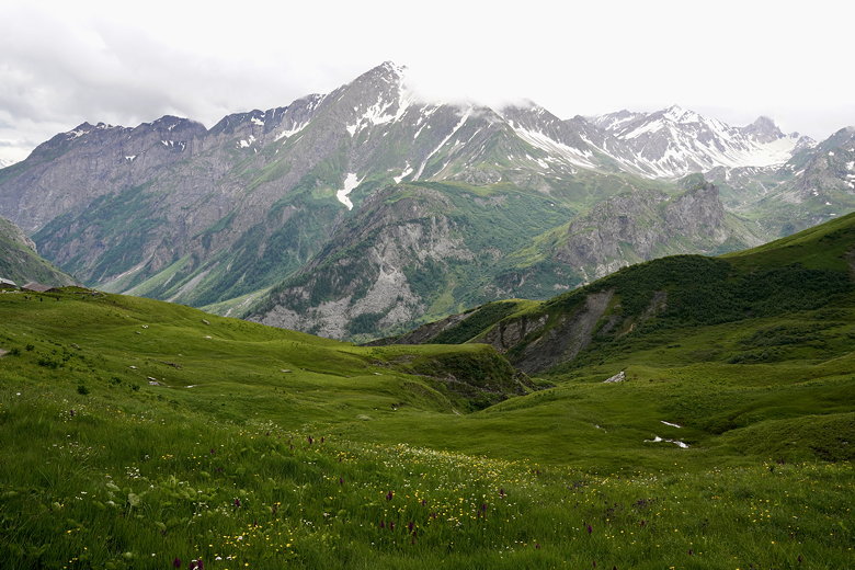
After the steep section there was still more climbing. The terrain alternated between snow, mud, and rock. We finally topped out (Col de la Croix du Bonhomme) just as fog obscured the views. It went away quickly, though. After that we made a short descent to the Refuge de la Croix du Bonhomme. It was cold here, and the refuge looked full of people escaping the cold and to have lunch. If it wasn't so crowded we would have gone inside, but
we just ate outside, then started the long descent.
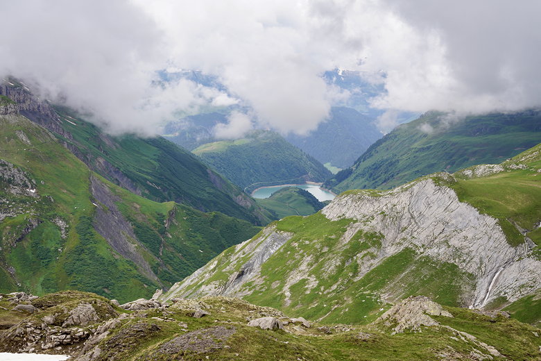
Probably Lac de la Gittaz
View from Col de la Croix du Bonhomme
View from Col de la Croix du Bonhomme
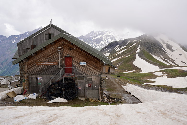
Refuge de la Croix du Bonhomme
View from Refuge de la Croix du Bonhomme
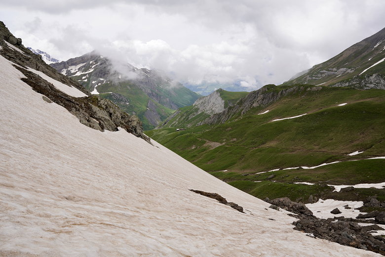
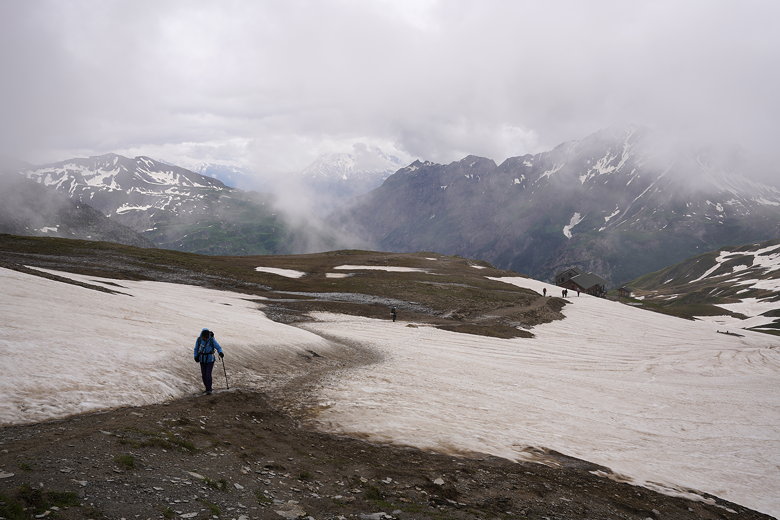
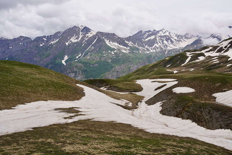
The descent is mostly snow-free, with a few patches, but we took our microspikes off at the refuge and didn't need them after. The worst part of the descent was the mud. There were some places it was basically impossible not to sink into the mud somewhat.
Starting the descent
Mountain view
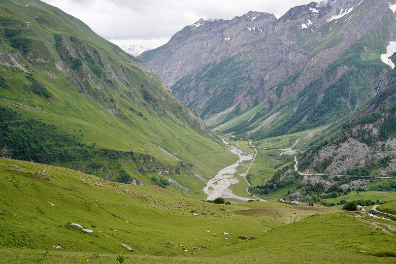
The views were great. Streams of snowmelt, green hillsides, snow-covered peaks. Further down we saw fields of flowers. Then a large flock of sheep on the left.
Further along the descent
Everyone's descending
Eventually we could see Les Chapieux below. We zig-zagged down the trail until we came to Auberge de la Nova. Originally we hadn't been able to find any vacancies. So we had reserved a hotel in Bourg-Saint-Maurice instead. However, that would have meant taking the bus down to town, then walking another 15 minutes to the hotel. And doing the reverse the next morning. So I kept checking the Nova website for cancellations. Finally, I found one, but only for 2 people (and there were 4 of us). But I grabbed it anyway. A month or two later I snagged one more, brining our total to 3. I was expecting to find another cancellation but never did. I emailed the refuge a week before and they said not to worry, they would find room for our 4th, and they did (although they did have to split us up). Jean and I had a private room, while the two boys stayed in a shared dorm.
Mountains
Those are sheep on the left
Sheep!
It did start raining lightly around 4pm or so, so we thankfully did miss the rain. Dinner was 7pm and was excellent. Four courses: soup, meat/potatoes, cheese/bread, and pannacotta. Much better than Gite Le Pontet. We were seated with Jerry and his son Tom from the UK, and a Frenchman whose name I forget. Jerry and Tom said they'd be going to Elisabetta tomorrow and Courmayeur the next day. They were planning to do the hike in 11 days like us, so maybe we'd see them again.
There was no cell signal or WiFi here, so I used my InReach to get a weather forecast. Looked good for the next two days.
| 

