Ohlone Wilderness Trail |
Day 1 of 3
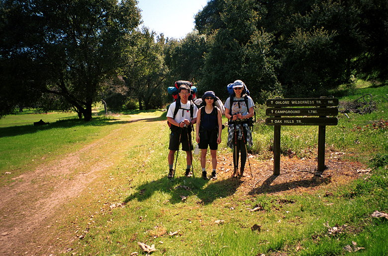
Jean, Jennie and I met at the Stanford Ave. staging area near
Mission Peak, which would be the end of our hike. We left Jennie's
car there and drove to Del Valle Regional Park, where we would
meet Kane for the start of our hike. We had originally planned
to meet at 10:45am, but didn't meet until about 11:30.
I'd made campsite reservations a month in advance. We still each
needed to get an Ohlone Wilderness Trail permit, however. We got
that from the ranger at Del Valle. We also got, after some confusion,
an overnight parking permit for Del Valle.
The sky was absolutely clear as we prepared for our journey. Being
a Friday, the parking lot was almost empty. My pack weighed in
at 47.5 pounds, about 27% of my body weight. Jean's was a mere
31 pounds. Jennie's was about 40 pounds, and Kane's was probably
between mine and Jennie's. I'd tried to pack lighter this time,
meticulously weighing everything. Unfortunately, I knew it would
get quite cold at night so I was forced to bring more clothes
than on the Skyline to the Sea trip.
Birds circled high overhead as I made a final pit stop. A woman
restrained her dog as it barked at me. The smell of thick lush
grass filled the air. It was a wonderful early spring day. And
we were about to embark on a great trip.
We started out on the Vallecitos Trail at about 12:15pm. After
less than a mile we reached signpost 40 of the Ohlone Wilderness
Trail. There's a sign-in panel where we wrote our names and emergency
contact info. Ohlone Wilderness Trail, here we come!
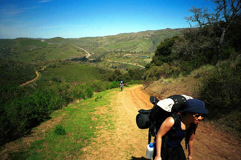
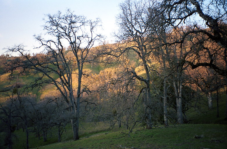
I'd done the hike to Murietta Falls a year earlier. But then it had been overcast, and I'd gotten
a feeling of isolation almost immediately. Today, the bright blue
sky and plane engine noise heard almost constantly dulled that
sense of isolation. The steep climb up with a heavy pack also
made me less likely to extoll the virtues of the trail. Jean (foreground) and Jennie climbing near the start of the trail
We stopped near Boyd Camp to have lunch. For me, this included
the only meat (pastrami) and cheese (string cheese) I would have
on the trip. As we were preparing to continue our hike, some kids
came from the opposite direction. They warned us of poison oak;
then a couple adults came along the trail and the kids complained
how they kept catching up to them.
There's an outhouse at Boyd Camp which we passed by. There's also
a trash can, but we decided it would be better to pack all our
own trash out. Jean relented a bit and threw away an avocado pit. Kane, down the trail from Rocky Ridge
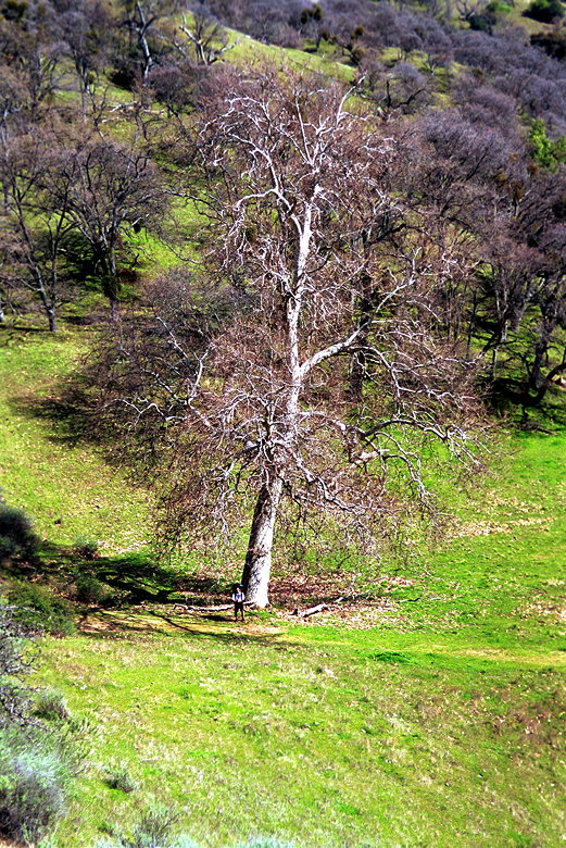
After reaching a peak elevation of 2426 feet (Rocky Ridge), we
made a steep descent down to 1890 feet (Williams Gulch). There's
a creek at the bottom where Joe had opened up my camera a year
earlier, exposing all my film. I gave my camera to Jennie to take
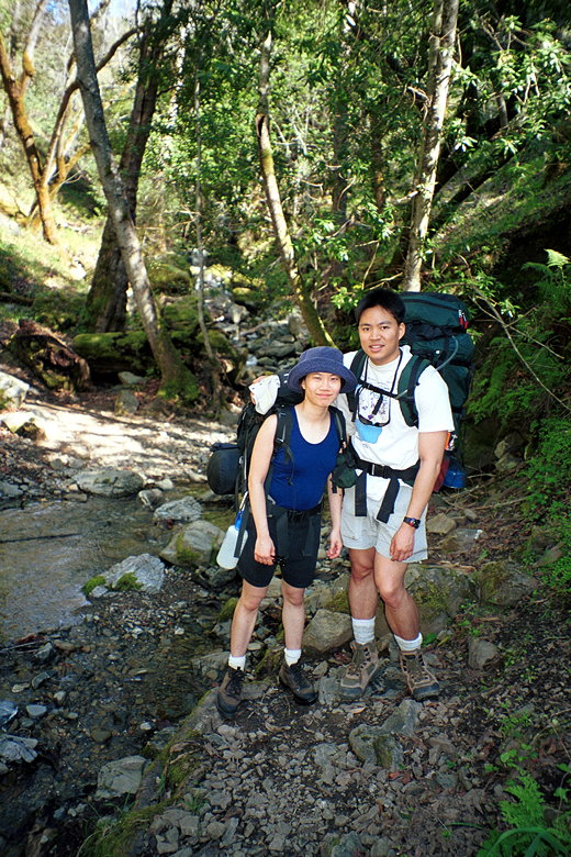
the picture I didn't get the year before. Me and Jean by the stream at the bottom
Then it was up, up, up. The trail up to the point of Williams
Gulch had been mostly on fire trails. But now the trail was narrow
singletrack. Eventually the trail becomes a fire trail again,
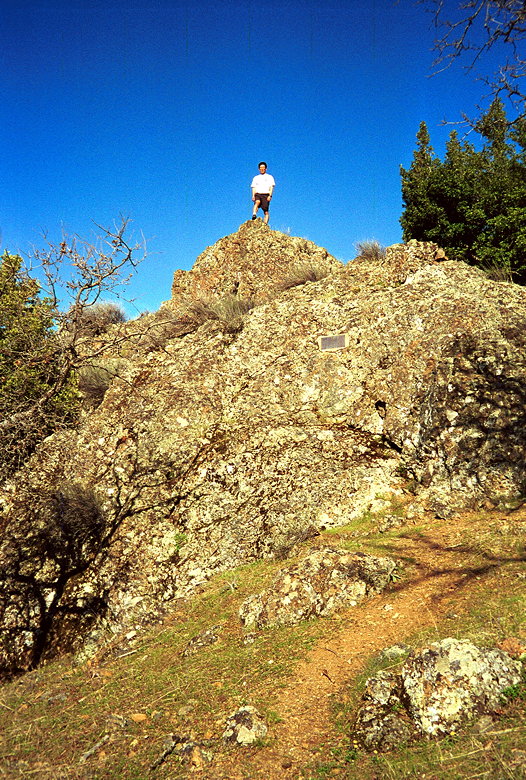
but it doesn't stop climbing. Up we went, to Schlieper Rock (elevation
3080). On top of the rock we had great views to the east. We enjoyed
the views and rested a bit, but we didn't have much time. We still
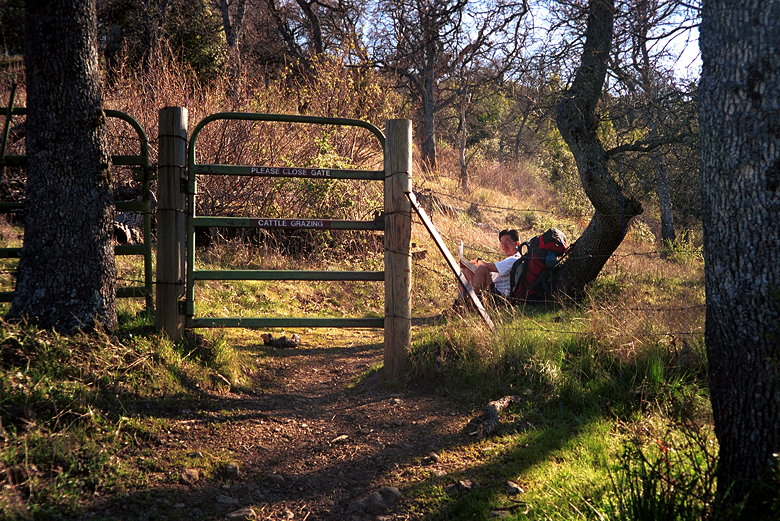
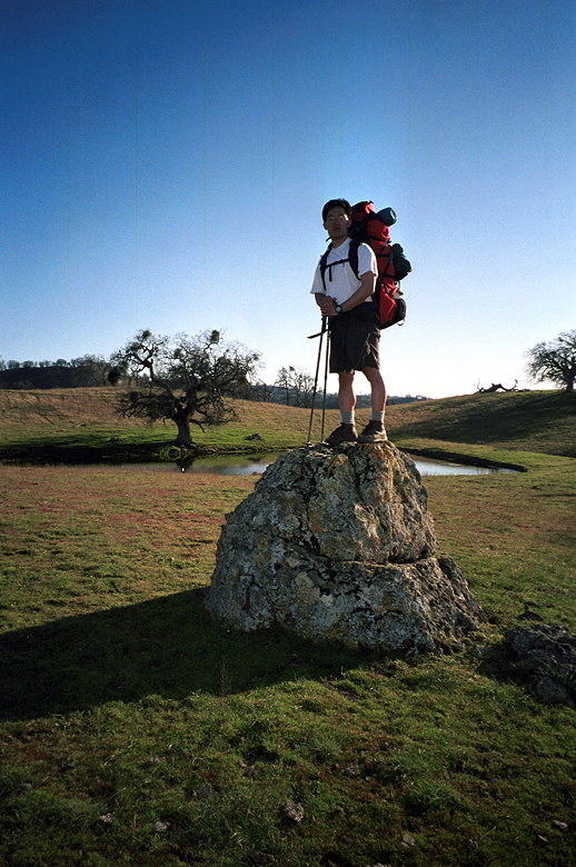
had more climbing to do. Kane grazing (sign reads PLEASE CLOSE GATE - CATTLE GRAZING)
We encountered a few scattered hikers on the trail. More than
I would have guessed for a Friday, but it was Good Friday, so
more people would be off school/work than usual. At one point
we did run across one backpacker coming the opposite direction.
He'd just spent the night at Stewart's Camp, our destination for
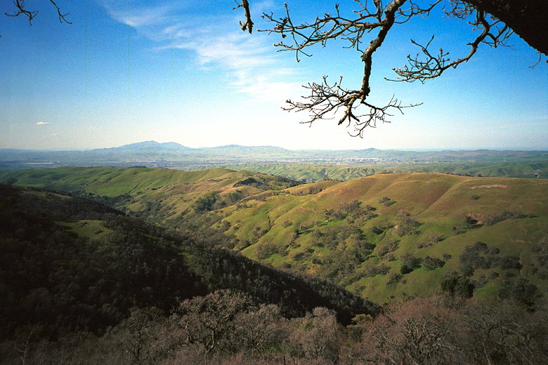
the day. View from near Schlieper Rock Kane on top of Schlieper Rock
Friday, April 2nd
Del Valle Reservoir to Stewart's Camp
6.5 miles
3700 vertical feet (ascent)
5:48
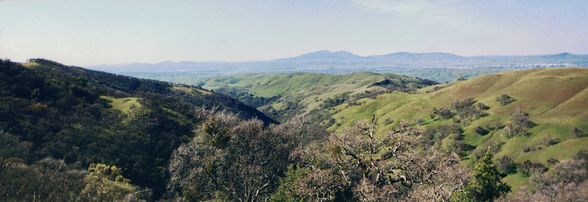
Panoramic view from Schlieper Rock looking north
We hiked as high as 3350 feet that day. Around that point we had
views of the San Francisco Bay itself, shimmering with the reflection
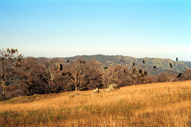
of the sinking sun. Jean facing the bay Okay, the reason these birds are scattering is because I snuck
up on them We encountered a remarkably life-like statue of Kane near Johnny's
Pond (background)
After passing Johnny's Pond we encountered our first group of
cows close to the trail. They looked at us somewhat menacingly,
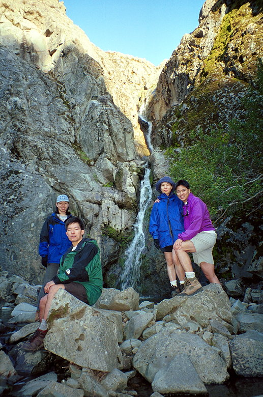
but left us along. We shortly reached Murietta Falls. At this
point we hadn't seen anyone else for an hour or two. We wouldn't
see anyone else until the next day. We dropped our packs and walked
down to the bottom of the falls, at 100 feet, the highest in the
Bay Area. It's not nearly as impressive as Berry Creek Falls,
however, since the water content is relatively low. Still, it
was a nice sight after all our hard work. Murietta Falls
After returning to our packs and putting our devices of torture
back on, we slogged through mud ponds for a half mile up to Stewart's
Camp, elevation 3160 feet. Sunset from near Stewart's Camp
There's an outhouse and water faucet at Stewart's Camp. There
was also the remnants of a campfire, even though ground fires
are prohibited. There was also some trash lying around the campsite.
Some people are just so disrespectful it's really discouraging.
It was getting dark by the time we arrived at camp, so we quickly
set up our camps and got water. I spent some time pumping the
faucet, but nothing was coming out. I was about to be very thankful
I'd brought my water filter, but then I got it to start working.
The temperature was dropping rapidly as we started cooking dinner.
We cooked by flashlight. Kane and I had backpacker's packaged
dinners. Jean had rice, and Jennie made pasta.
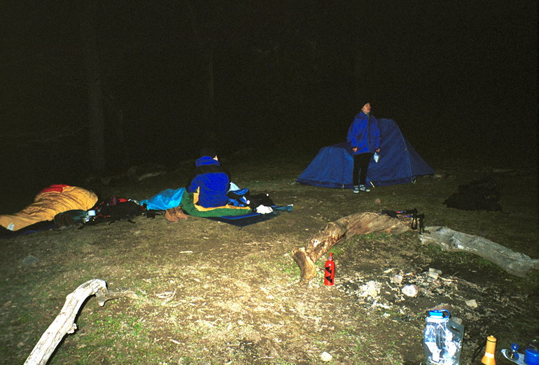
After dinner and washing the dishes, it was so cold that we all
just went straight to our sleeping bags. I was very glad I had
a tent for Jean and myself. Kane and Jennie had decided to forgo
carrying a tent and were going to sleep outside, under the stars.
Brrr! After dinner at Stewart's Camp
At night, frogs croaked throughout most of the night. Planes flew
overhead. We seemed to be in the flight path for planes making
their final approach to SFO. The whole night my nose was cold
-- a backpacking problem I have yet to solve. I think I got maybe
3 hours of sleep that night.
(Click image to view full size)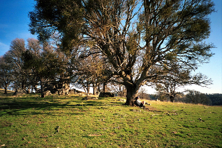
Related Pages:


|

|