|
The wind died down last night, and it was quite pleasant actually. In the morning,
the skies were clear. I took some sunrise pictures and after packing up camp we
got started around 10am.
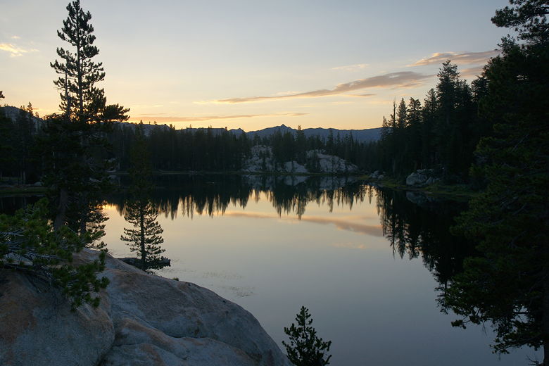
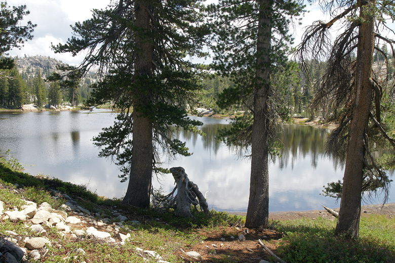
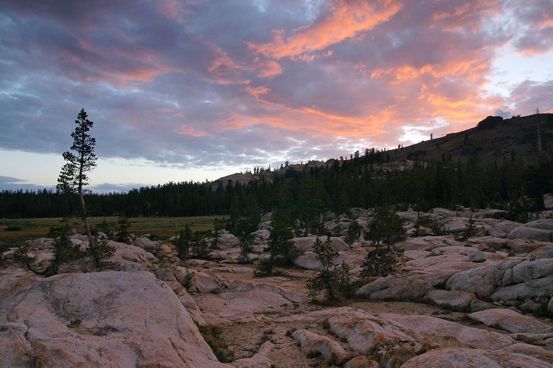
Wood Lake sunrise
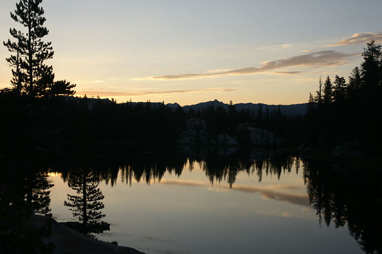
Wood Lake sunrise
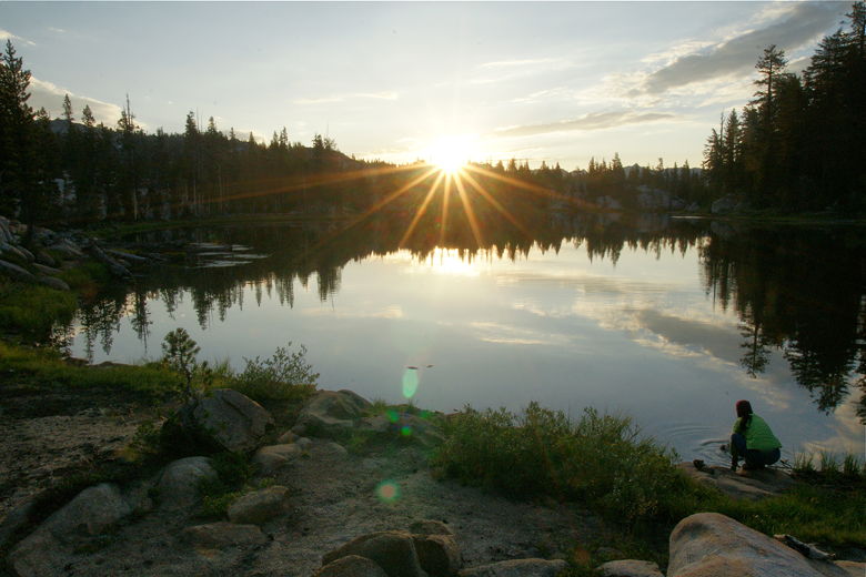
Wood Lake sunrise
Since we'd camped at Wood Lake instead of Long Lake, today's hike would be over a
mile longer than originally planned. We rejoined the main trail, turning right at the
intersection to head north toward Deer Lake (the left fork goes toward Groundhog
Meadow).
Almost immediately, we saw an unmarked intersection. The trail appeared to continue
northeast along the lake, while we could clearly see that another trail was visible
across the stream to our left. I consulted the map and saw that we did need to
cross the stream, and so we went across. We figured the other trail was just a side
path next to the lake. Now, if I had taken the time to look at the
map more closely, I would have realized that we were supposed to follow the contour
of the lake shore for a lot longer before crossing the stream. Or perhaps if I had
been able to access the memory of this part of the trail from when I'd done it 11 years
earlier (in the opposite direction), then maybe I wouldn't have made this mistake.
But unfortunately I did make this mistake.
We followed the trail across the stream and soon ran into a couple of older backpackers
coming in the opposite direction. I mentioned that we were heading toward Upper Relief
Lake, but they didn't know where that was. They said they were going to Wire Lakes. I
didn't have the map in front of me at the time; if I had, I would have asked them why
they were heading this way, since Wire Lakes was in the opposite direction. In retrospect,
I should have asked them where they were coming from. I've usually done that, but for
some reason I didn't do it this time.
Every person you pass on the trail in the opposite direction is a valuable resource. More
valuable than a map, a GPS, or a guidebook. They can help you figure out exactly where
you are on the trail, how far the next trail intersection is, how hiking conditions are
up ahead (muddy, rocky, etc.), possibly where the best campsites are at the next lake
you're staying at. You should take advantage of this resource, even if you think you
know exactly where you are. Besides, it's always nice to talk to other backpackers on the
trail to find out what their route is, and pick up other ideas from them.
So, I totally blew that opportunity. I was suspicious when the trail didn't start climbing
immediately, but after a short flat section, it did start climbing. Then I forgot about
my suspicions and marveled at how well the kids were hiking today. And then the next thing
you know, we had hiked almost a mile. I looked at my compass and realized that we were
hiking due east instead of north like we should be. Ouch!
Somehow, we had gotten onto the trail toward Groundhog Meadow, even though we had
specifically not taken that trail, and I don't recall ever seeing a trail coming in from
the left. But there was no disputing where we were. We thought about backtracking, but
decided that it would better to just keep going forward; since we had already hiked a mile,
heading back would be about the same distance as going forward. Either way, we had just
added about 2 miles to our original route.
Frustrated, we plowed through the next section of trail, then turned right onto the trail
toward Gem Lake. Now this part of the trail I definitely remembered from 11 years ago -
a steep climb on bare granite with a hard-to-follow trail marked by rock stacks, the
sun beating down on us. Thankfully it's only about a half mile, after which we found
ourselves at little Gem Lake.
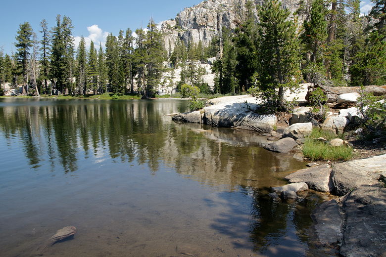
Gem Lake
Some people were enjoying a swim in the lake as we stopped to eat and rest. I apologized
to my family for making the navigation error, but they made me feel better by not blaming
me, even though they knew it meant a longer hike today. Still, as the planner and leader,
I felt a responsibility to keep us on the right track.
Now I was worried about having to hike until sunset, so we didn't have any extraneous
breaks today. We would only stop to eat. After our break at Gem Lake, we turned right to
head toward Jewelry Lake. About 20 minutes later we reached it. This stretch of trail from
Wood Lake to Gem Lake to Jewelry Lake to Deer Lake was the only stretch in common with the
trip that Jean and I did back in 2001 (before kids). Some of it started coming back to me.
The trail from Gem Lake to Jewelry Lake and then Deer Lake has a little bit of climbing,
but it's not too bad.
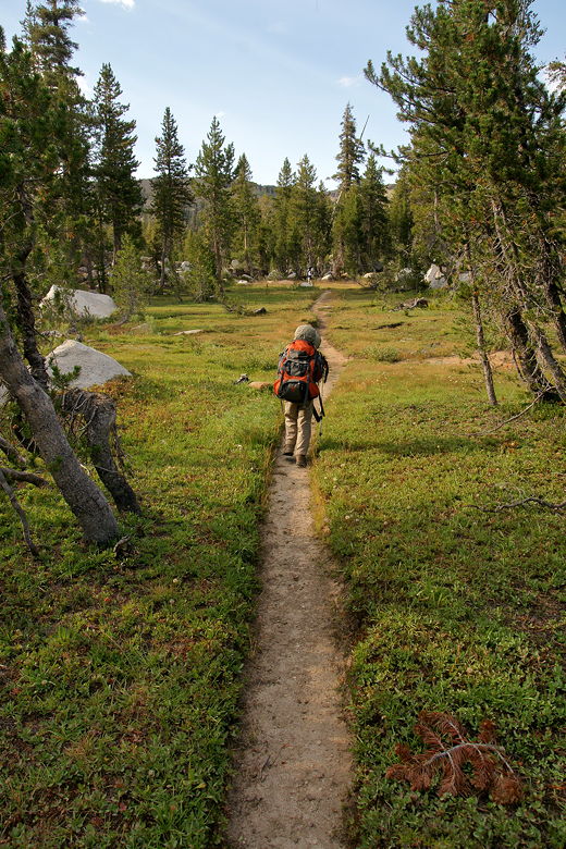
Approaching Jewelry Lake
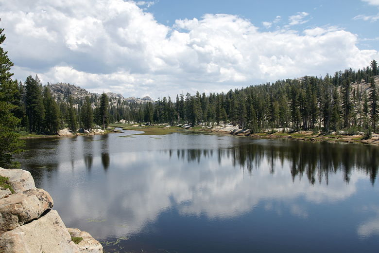
Jewelry Lake
In between Jewelry Lake and Deer Lake, we ran into the same couple we had run into near
Wood Lake. They'd gone around in a circle and they now said they were headed toward
Gem Lake. They were probably surprised (and maybe a little confused) to see us, too.
We soon reached Deer Lake and settled down for a break. I took the opportunity to
filter some water and make some Gatorade. While we were there another backpacker came
by and said he was very impressed that I got the kids to come out this far. I would
have to say that pretty much everyone we saw was either impressed or encouraging or
both when it came to the kids. As for the kids themselves, I'm not sure if they realize
how impressive they are; I think they're just out doing their thing with the family.
Nathan, for his part, never seemed to get tired on this trip (maybe I should have given
him more weight). Jared struggled at times, complaining that his feet hurt, but he
kept plugging away and really didn't complain much for a 6 year old. Mostly he seemed
to just be commenting that his feet hurt, not that it would stop him. I assured him that
my feet hurt, too.
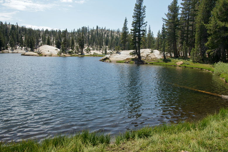
Deer Lake
After our break at Deer Lake, we turned left toward Salt Like Meadow. This part of
the trail is a steady uphill climb, some of it over rocks where the trail is
marked by rock stacks. It was quite hard to follow at one point, until Jared pointed
out the well-worn path to our right. This part of the trail climbs for about 1.6 miles.
As we neared the top, we ran into a large group of day hikers. I'm not sure if they
were doing a really long day hike, or had a base camp, or were heading toward a horse
camp. They all had only day packs, though. I did make sure to ask them how far the
next intersection was, and I was glad to find out we were nearly done with this part of
the trail. The hiker I talked to also said that the intersection toward Upper Relief
Lake was well-marked. I felt better about our situation now, as I knew once we reached
the top here, we only had about 4 miles to go, much of it downhill or flat.
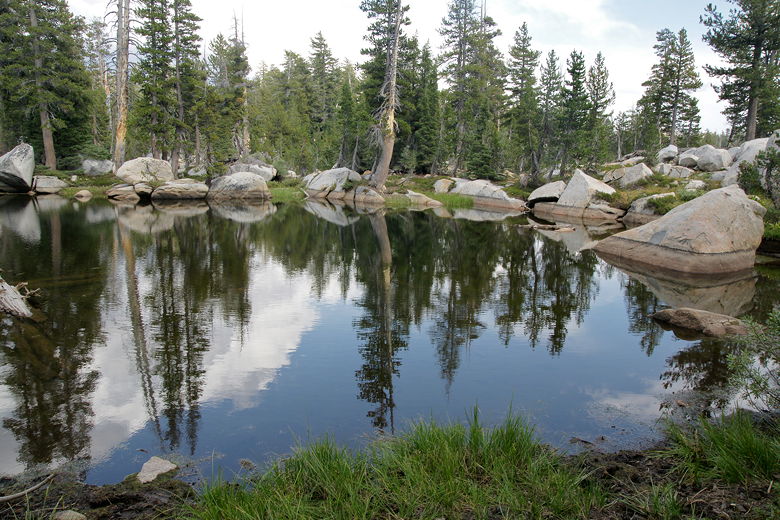
Pond next to trail toward Salt Lick Meadow
Just a couple minutes after we saw the hikers, we reached the intersection at the top.
To the right was a trail leading to the north end of Long Lake. We took a brief break
and then continued straight ahead toward Salt Like Meadow, heading downhill. Soon we
passed another trail intersection, with a trail leading to the left down to Wire Lakes.
We continued straight ahead.
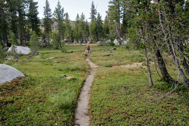
At the bottom, we reached Spring Meadow, a sprawling meadow which we walked right
through. On the other side, we climbed briefly. We next saw a large group of backpackers,
a high school group I think. Or at least that age range. As we continued along the trail,
we could see dark clouds to the east, very similar to yesterday. I was hoping we'd
be spared any rain, just like yesterday.
Spring Meadow
Pond between Spring Meadow and Salt Lick Meadow
Next we reached Salt Lick Meadow. The sky by now was completely overcast, but the
clouds seemed high and not too threatening. At the end of the meadow we re-entered
the forest and started to be on the lookout for the trail intersection. We stopped
for one final food break before finding the intersection and turning right to head
uphill toward Upper Relief Valley.

Salt Lick Meadow
We now had a small climb, about 250 feet, but it hardly registered as it was very
gradual, spread out over the 1.5 miles to the valley. We did have to contend with
two things on this part of the trail, though. First, we heard bells -- not of horses,
but of cows. A group of cows was grazing right in front of us. Most of them moved along
to the right, though one stayed to our left as we walked cautiously by.
After passing the cows, mosquitoes were our next problem. This was the only stretch of
trail where mosquitoes seemed to be an issue. We put on repellent and walked through as
fast as we could, and didn't have too much problem. Any time we stopped, though, they
would hone in on us. Or at least me. By the time we reached the top, however, they were
no longer a problem. And when we reached the top, we broke out into the open and into
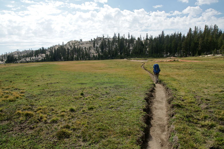
the beautiful sight of Upper Relief Valley.
Approaching Upper Relief Valley
Approaching Upper Relief Valley
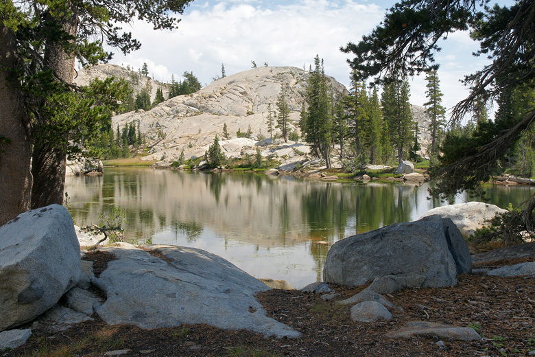
Upper Relief Valley
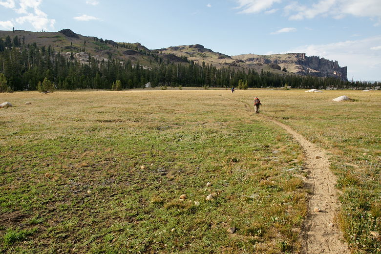
A huge expanse of meadow lay out in front of us, with mountains on either side.
The sun was starting to come back out from behind the clouds. We reached the next
intersection (the left trail leads to Whitesides Meadow) and knew that the lake was
just to our right. We walked a little ways before deciding there probably wasn't
any official trail to the lake, and just cut across to the right toward the granite
rock outcroppings. From the top of those, we could see the lake on the other side.
We meandered through the granite before we found some nice camp sites among the granite.
In one spot there was a campfire ring and lots of wood waiting to be burned. It didn't
look like there were many good campsites closer to the lake, as it's surrounded by
grass in most directions. The eastern side of the lake is backed by granite and forest,
but there were already a couple of backpackers (and their dog) camped there when we
arrived. I'm guessing they had the best campsite in the area.
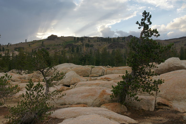
Crepuscular rays above Upper Relief Valley
Despite worrying about getting in near sunset, we actually arrived at our campsite
around 6pm, nearly 2 hours before sunset. We set up camp and I went out in search
of a good place to filter water. This would not be easy. I put on my sandals
and thought I would just walk out into the lake and scoop up some water with my
big floppy Nalgene water bag. That was a big mistake. I took two steps toward the
water and my sandals got sucked into the mud. I swear it felt like the mud was alive
and was pulling me in. Thankfully I had my trekking pole with me to steady me, and I
yanked my feet out forcefully. I spent the next 5-10 minutes scooping up water and
pouring water over my feet and sandals to clean them.
Eventually I found a spot where someone had placed two rocks at the edge of the
water, where I could step on them and grab a little bit of water above the algae
clearly visible in the lake. Later, on another trip to get more water, I saw another
backpacker also searching for water. I pointed him to those two rocks.
As we made dinner, we could hear the cows approaching. Their bells made it easy to
tell they were now at the southwest end of the meadow, heading up the trail just
like we had done.
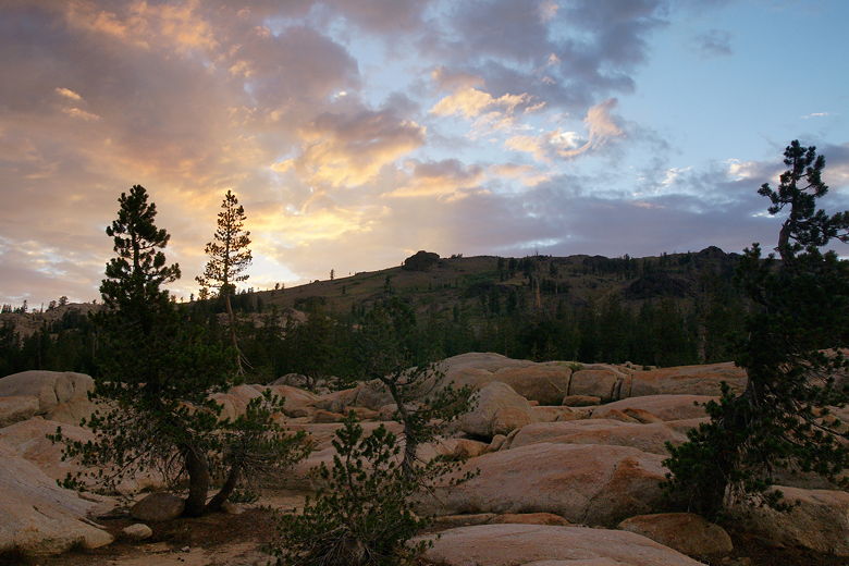
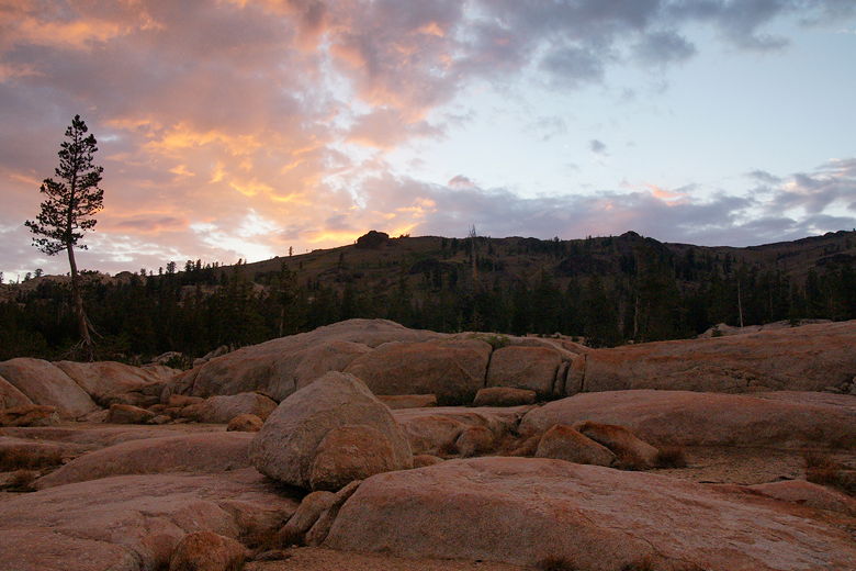
Nearing sunset at Upper Relief Valley
At dinner time, we witnessed a beautiful dramatic sunset, colorful red and orange
clouds hovering over the mountains to the west. After sunset we thought about having
a campfire, but in the end just went into the tent. It had started to sprinkle a bit
and we just wanted to get in the tent and rest for our hike out the next day.
Upper Relief Valley sunset
Upper Relief Valley sunset
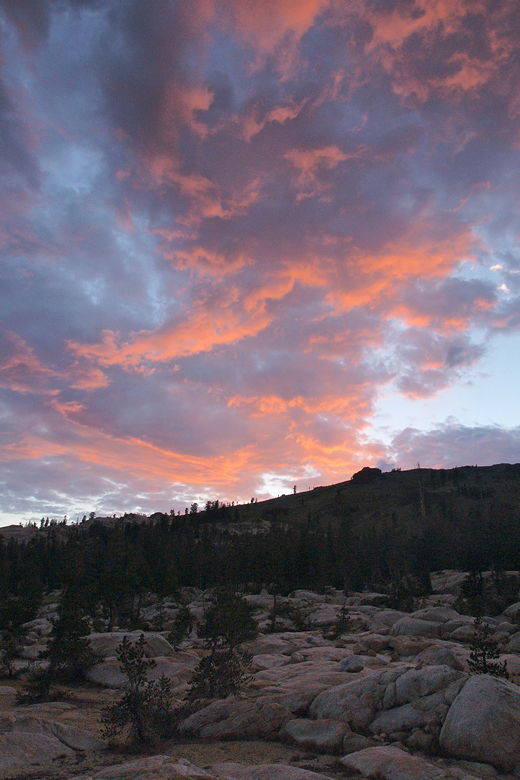
Upper Relief Valley sunset
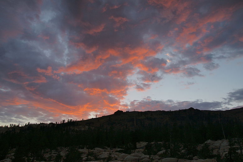
Upper Relief Valley sunset
| 

