|
After a 6:15am wake-up, we left camp at 8:35am - early for us, but we were the last
ones to leave. We took the trail up to the left (the one to the right heads
to the store). When we reached the main trail, I was momentarily confused. For
some reason even though I had been at this exact intersection on day 2 of our
trip, I didn't recognize it. We went the wrong way (left) for a couple minutes before
we realized our mistake and doubled back.
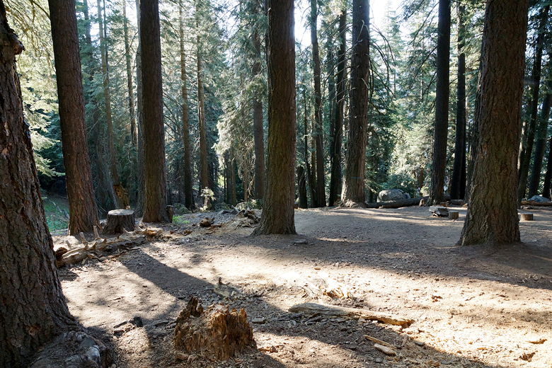
Bearpaw Meadow backpacker's camp
After our little mistake, we turned left onto the steep trail toward Elizabeth Pass.
We could have taken a different route. From the map it looked like we could have taken
the right path to the store, then descended down to Pine Creek like we had on day 2,
crossing the bridge and then turning left to head up to the pass. This would involve
dropping down about 420 feet. The alternative, which we decided on, was to take the
more northerly trail, which would involve hiking up to about 8600 feet, then down to 8000
feet (dropping 600 feet). The reason we decided on this route (despite the extra 200
feet of climbing) was that it looked to be about 1/2 mile shorter.
Our decision didn't look like a good one as we practically bush-whacked through a hot,
overgrown, obviously not well-maintained, steep trail. We were passed by one hiker
along this section who we'd see later on. Luckily for us, it looks like either the
maps are wrong or the trail had been re-routed since, as the trail topped out at about
8500 feet (saving us 100 feet of climbing). So after about 800 feet of climbing, we
took a snack break, then descended toward Pine Creek. Along the way, the views
started to open up.
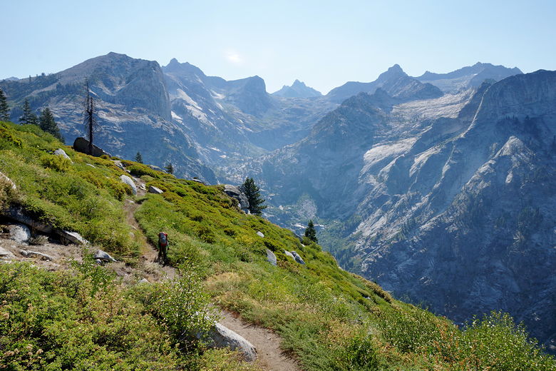
On the trail toward Pine Creek
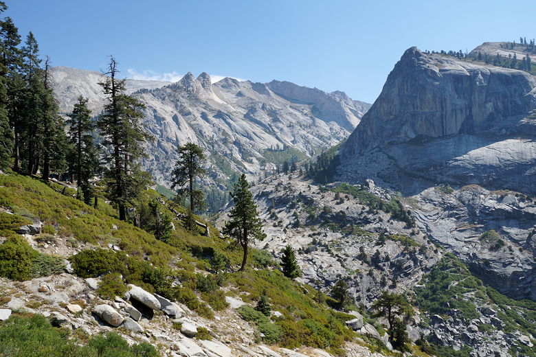
On the trail toward Pine Creek
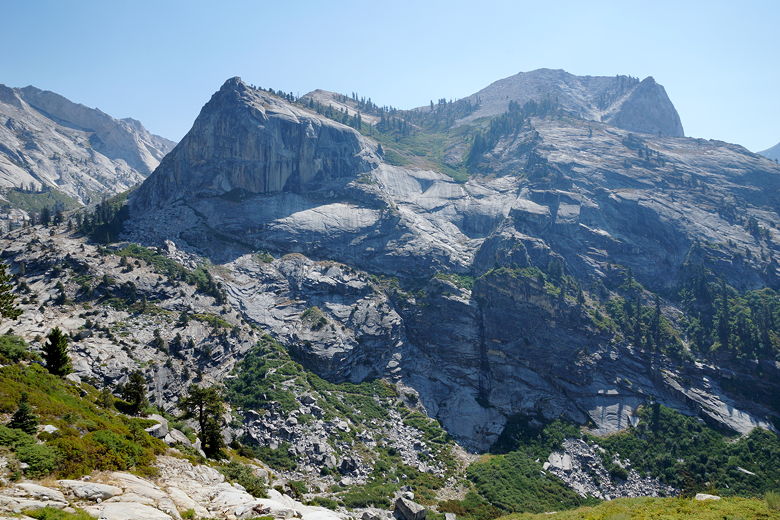
View across Pine Creek
We could see the steep switchbacked trail on the opposite side of Pine Creek - the trail
we would have taken if we had chosen the other option. At this point we were glad we
hadn't. Soon enough we reached the trail intersection. The hiker we'd seen earlier
was here; I thought he was filling up on water, but he said he didn't. He was hoping
to get up and over the pass with what water he had with him. I knew we would need more,
but I was hoping to get some from the outlet of Lonely Lake. He also mentioned he
was hoping to camp at Ranger Meadow, and I mentioned our conversation with the ranger
suggesting camping earlier than that.
Since it was still only 10:40am, I made the decision to not fill up on water at Pine Creek. That made
me a bit apprehensive in the coming hours, but I stuck with it.
We shortly came to another intersection. The trail to the east heads up about 1100 feet
to Tamarack Lake - a place we had considered camping at yesterday. We continued on
the main trail to Elizabeth Pass, which now switchbacks steeply uphill. Along the way we were
passed by two hikers who had apparently camped at Tamarack Lake the night before; at
least my son said they came from that direction. One of them had his right arm in a sling,
which I'm sure must make backpacking a lot harder. I'm not sure if I could do it.
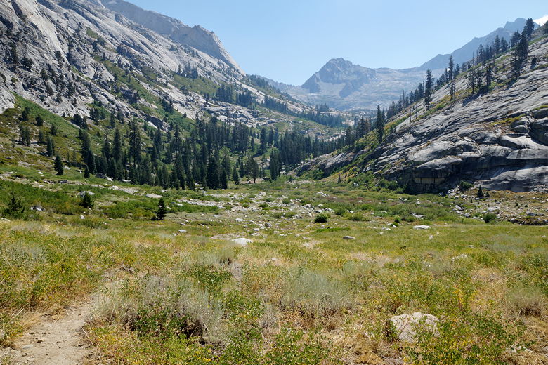
Up there lies Tamarack Lake
After switchbacking up over a thousand feet, the trail starts to level off a bit. As it
did so, the clouds started to move in. The break from the sun was welcome, though I did
start to worry about thunderstorms. Thankfully, we would get the best of both worlds -
cloud cover to cool us off, but no thunderstorms today (I think I felt three rain
drops, that's all).
At about 9300 feet elevation, we reached the Lonely Lake outlet stream. Or what was
left of it. It wasn't much to look at, but it did pool in places on the granite and
it was flowing enough that I was able to get some good water to filter. Later in the season
after a drier winter/spring, it might dry up completely.
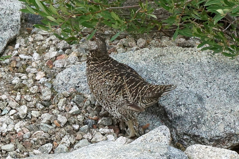
Grouse near the Lonely Lake outlet stream
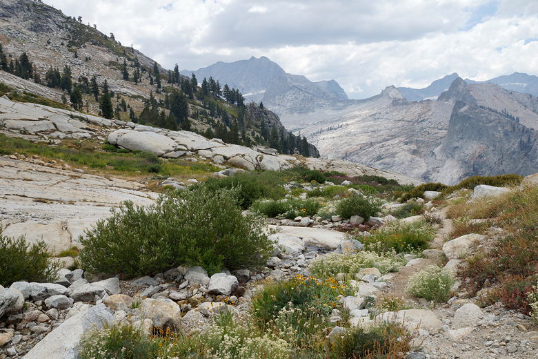
View looking down from the Lonely Lake outlet stream
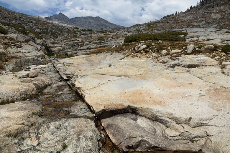
What's left of the Lonely Lake outlet stream
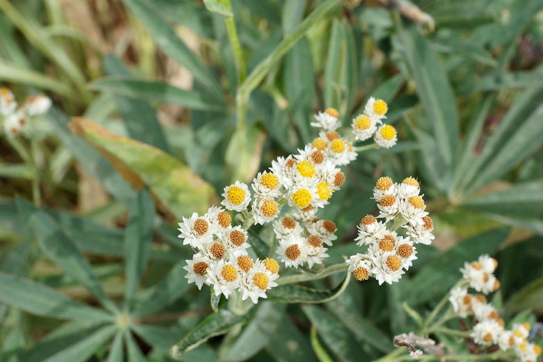
Wildflowers
Despite all the work we'd done so far, we still had over 2000 feet left to climb,
and it was already 1:30pm. So we crossed the creek, picked up the trail again, and
started trudging uphill. We were above treeline now, but again the clouds helped
us avoid overheating. We lost the trail several times here, but it was usually
easy enough to pick it back up by looking for rock stacks. We reached the top of
Elizabeth Pass at 4:10pm. The views from the top are great of course; for some reason,
looking to the mountains to the north made me feel especially small and it felt
great to be out there. To the west in the distance we could see what looks like
Moose Lake. It looks amazing, just hanging there in the granite, far above everything
else. I've got my 10 year old son hooked onto the idea of going on a cross-country
trip to get there some day. A quick check of the web shows many people have done
this (most via Pear Lake).
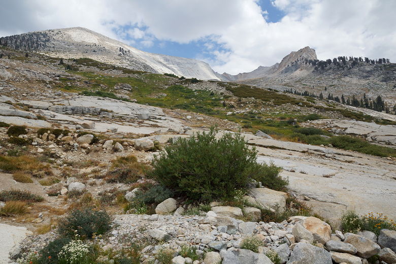
Looking up toward Elizabeth Pass
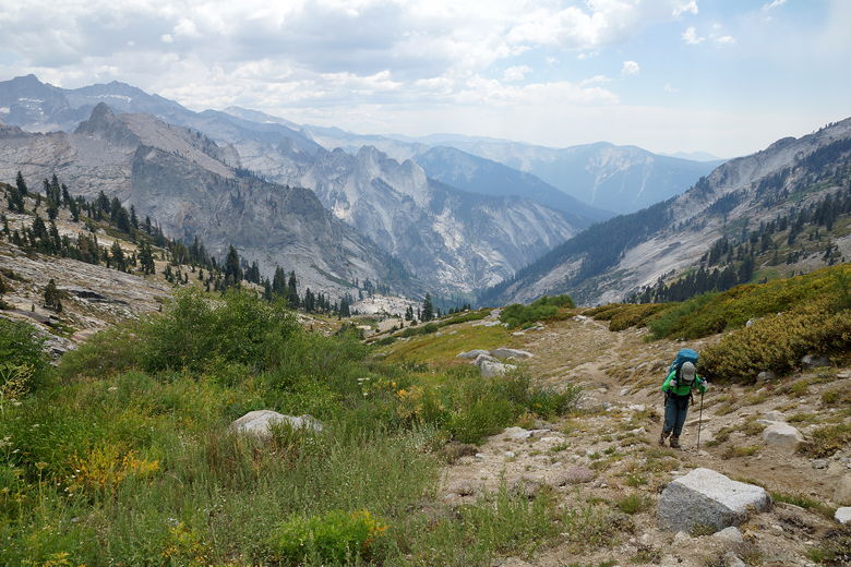
Looking back down from the climb
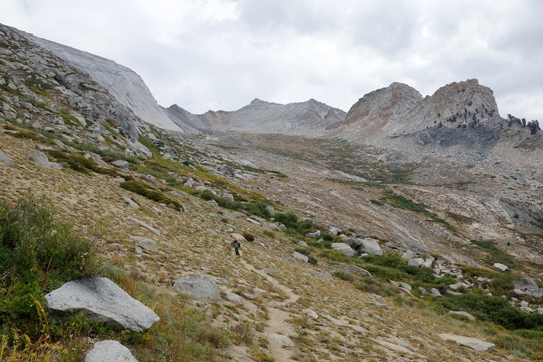
Approaching Elizabeth Pass
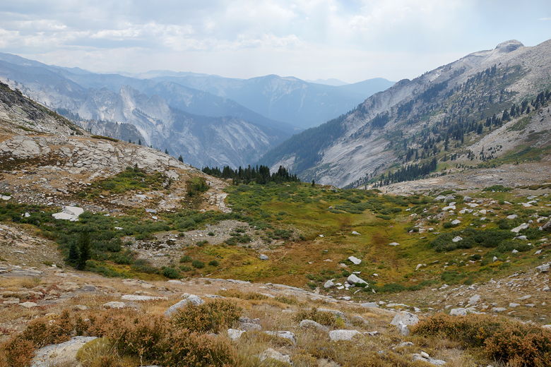
View looking back down
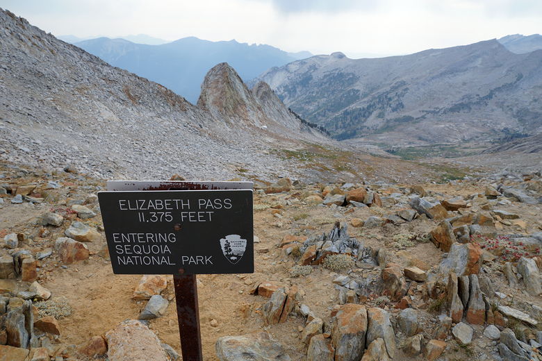
View from Elizabeth Pass looking southwest
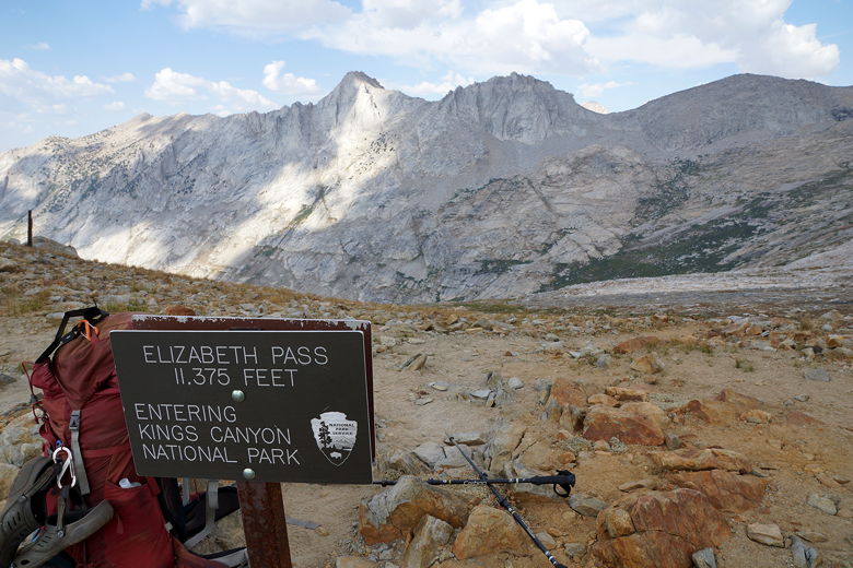
View from Elizabeth Pass looking northeast
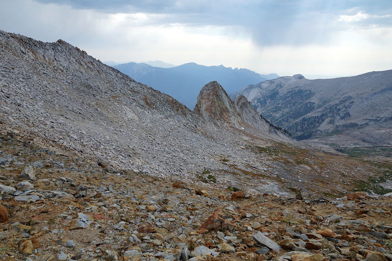
View to the southwest
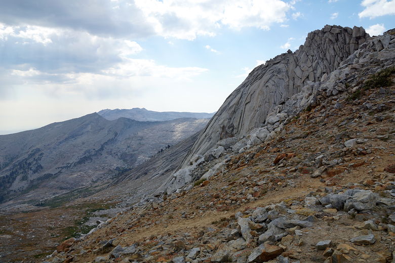
View to the west
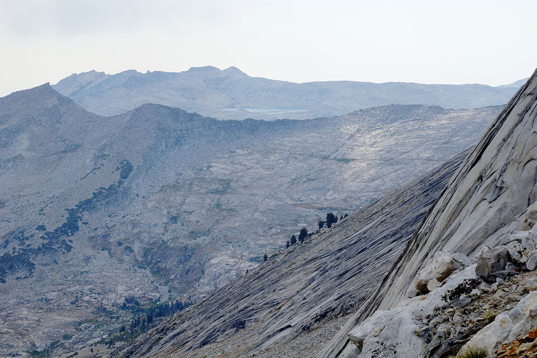
Moose Lake (center, top)
At 4:30pm we started our descent. We could see our destination in the distance to the northwest -
a stand of trees near the end of the upper canyon. But every time I looked up, it didn't
look like it was getting any closer. The switchbacks near the top of the pass were
very gentle, and we didn't lose much altitude very quickly. The trail picks its way
through the granite boulders very gingerly.
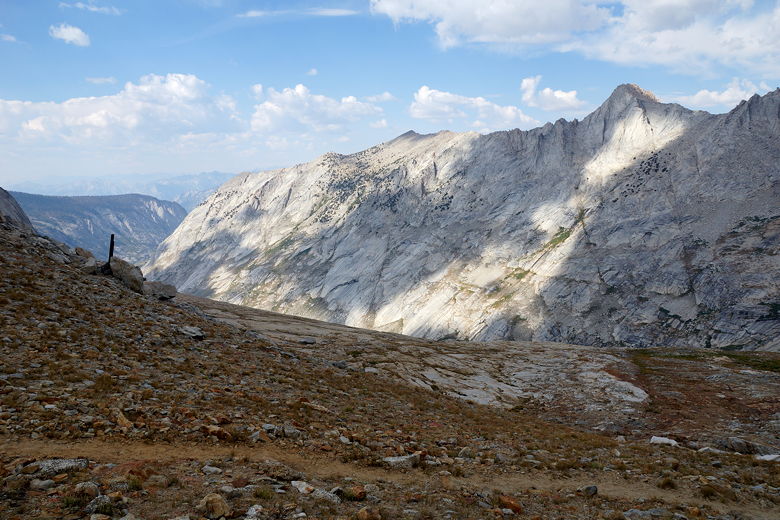
View to the north
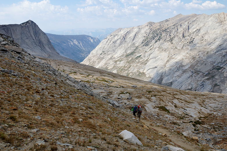
Starting the descent
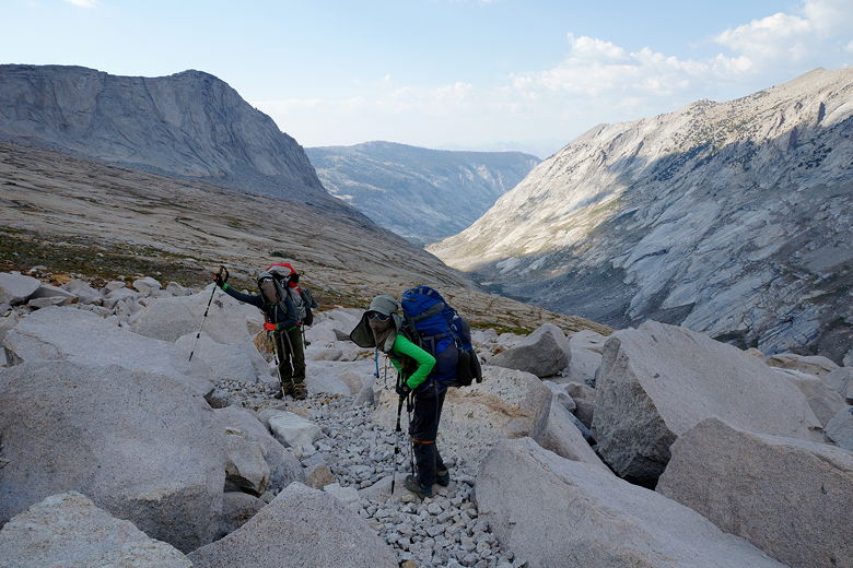
Descending through the boulder field
We finally reached a lip where the trail descends steeply, but after that the trail
becomes overgrown with brush again. Further on, much of the trail was muddy or covered
in thick grasses which made progress frustrating. It was another long slog, though not
quite as long as the descent from Black Rock Pass.
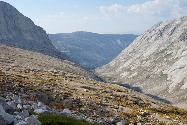
Upper Deadman Canyon
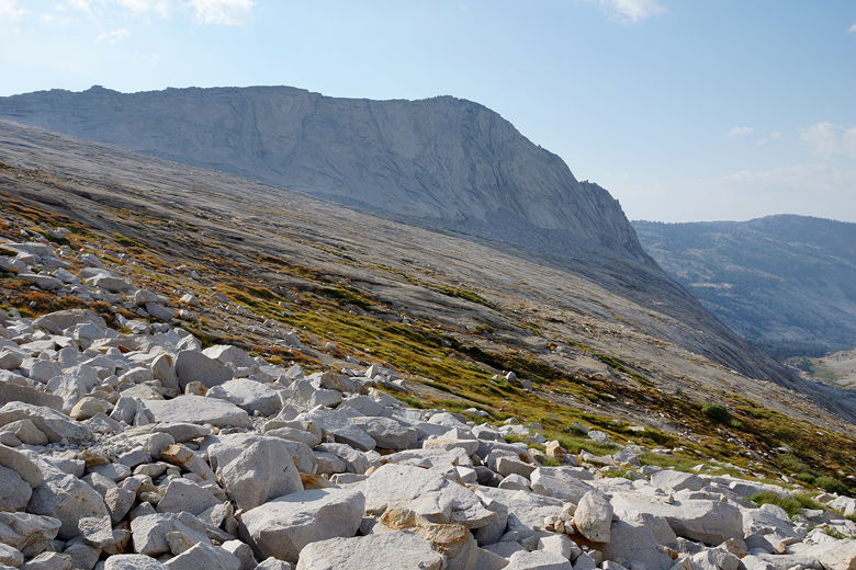
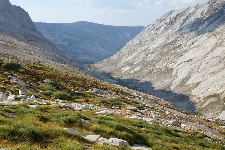
Upper Deadman Canyon
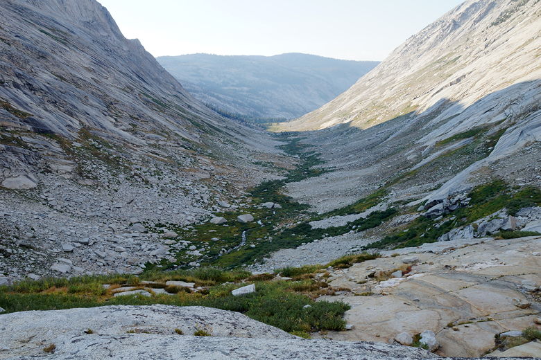
Upper Deadman Canyon
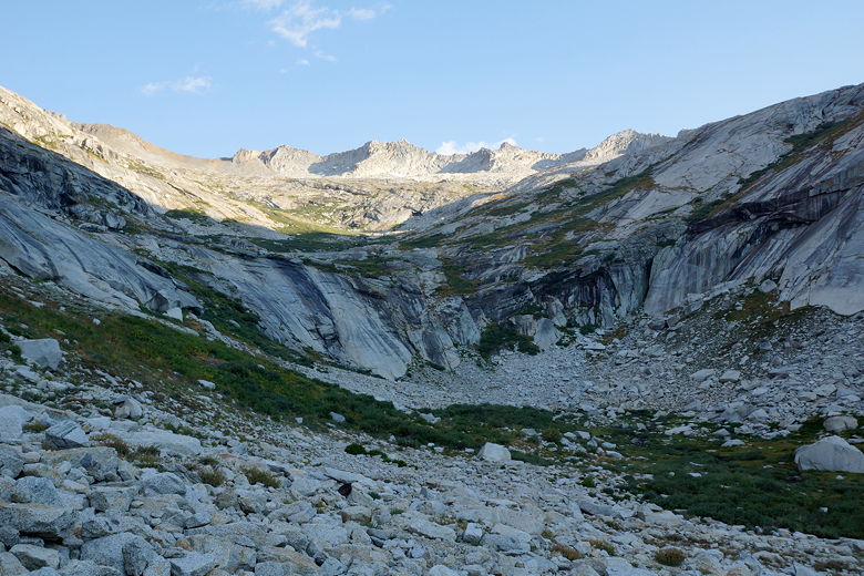
Looking back toward Elizabeth Pass
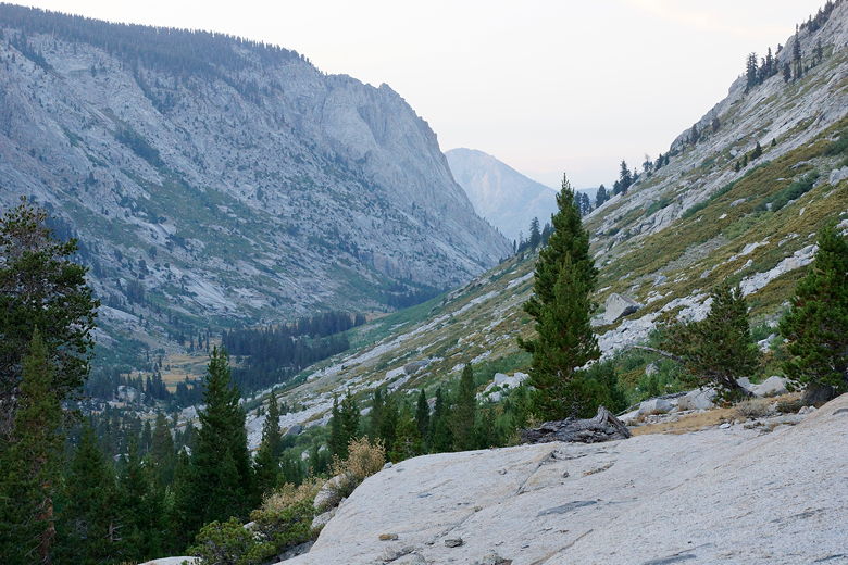
Descending Upper Deadman Canyon
As we reached the canyon floor, we passed a camper; one of my sons said we'd seen him at Bearpaw the
day before when we went to get brownies, but my other son said it was the same guy we'd
seen hiking earlier today. In fact, he suggested they were one and the same person,
but my facial recognition apparently isn't good enough to know.
In any case, we kept going, finally reaching the stand of trees the ranger had mentioned.
There were some obvious camping spots in the trees there. However, we decided on camping
on the granite near the trees. It meant that we had to be a little creative in
"staking" the tent using some nearby rocks. But it also meant that we had tremendous
views. We could stand in one place next to our tent and look up the canyon toward
Elizabeth Pass, then swivel and look down the canyon toward Ranger Meadow. Because the
canyon has a bend in it, this is basically the only place you can do this. I was
kind of surprised that no one else was camping here - we had the whole place to ourselves.
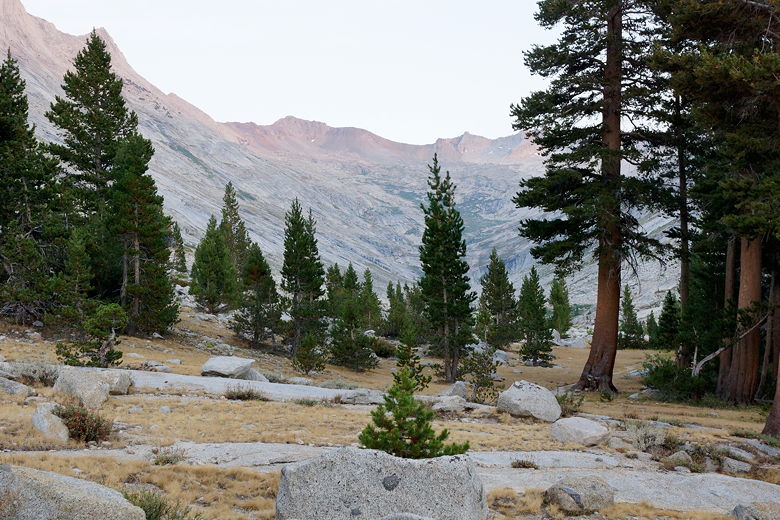
Looking back at Elizabeth Pass alpenglow from our campsite
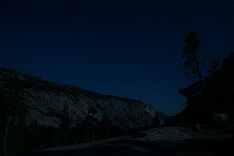
Big Dipper over Deadman Canyon
Water was not a problem - it was a bit of a walk to the west, but water was flowing
over the granite and easily captured. Despite all the hard work - the nearly
4500 feet of climbing and 3000 feet of descent, we were pretty happy with our
campsite. Certainly a welcome contrast from Bearpaw Meadow. The 4500 feet of
climbing is the most we've ever done backpacking in a day - by far more than
anything we had to do on the John Muir Trail last year (even our Whitney summit day was
about 3300 feet of climbing). But for some reason, it didn't seem that hard.
| 


