|
While we were getting ready, we saw the same guy who'd passed us early yesterday.
He hadn't reached Ranger Meadow as he had hoped, and had camped further up Deadman
Canyon. He was now headed down Deadman Canyon. We followed suit later, heading
out of camp around 9:50am.
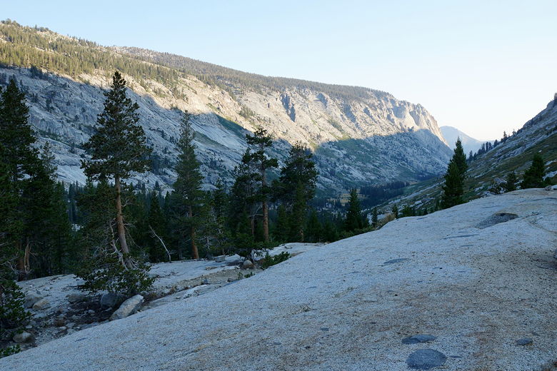
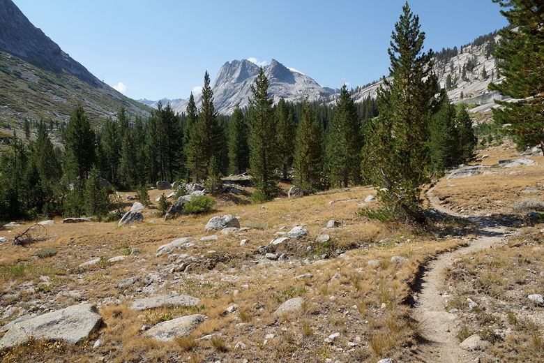
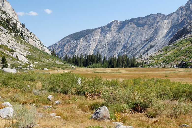
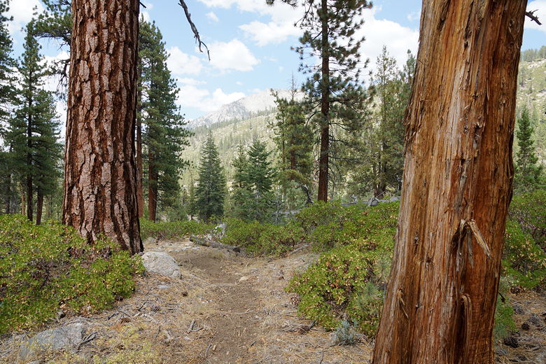
Deadman Canyon in the morning
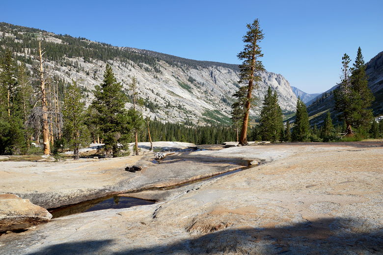
Creek flowing over granite
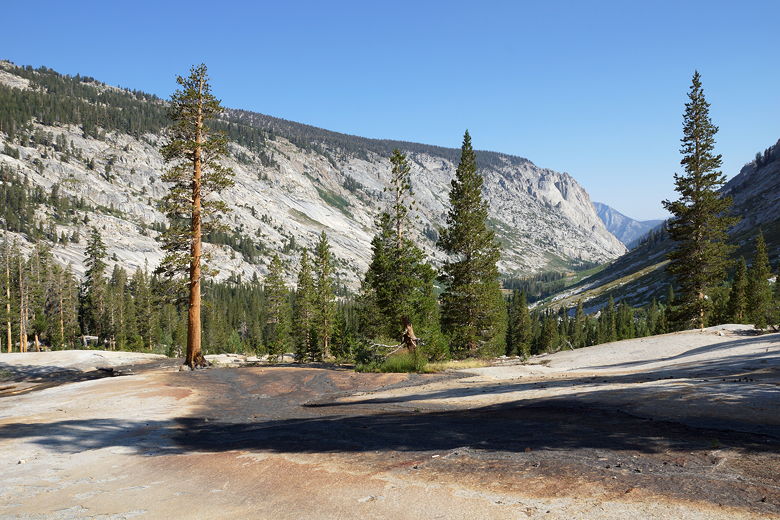
Deadman Canyon
The trail starts descending immediately, and the views disappear quickly as we
enter the dense forest. We soon passed the Big Bird Lake outlet stream. The
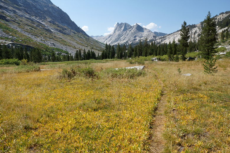
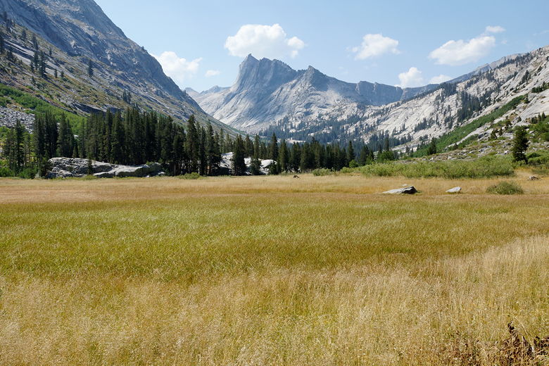
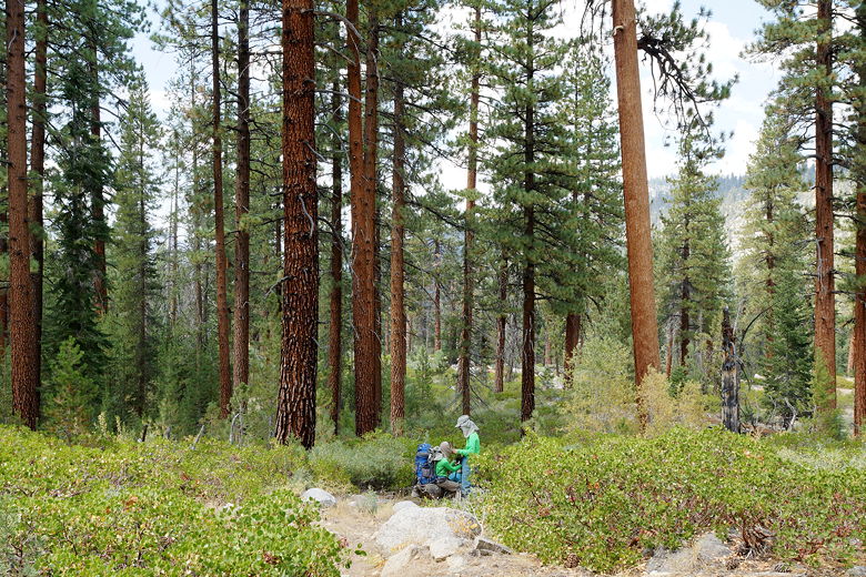
trail is never very steep, and levels out as it crosses Ranger Meadow. The
meadow is actually at least 3 distinct meadows as far as I could tell,
mostly brown this late in the season.
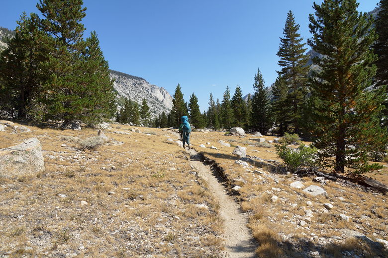
Hiking through Ranger Meadow
Looking back from Ranger Meadow
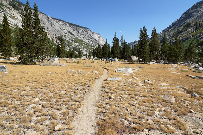
Ranger Meadow
Ranger Meadow
The creek runs to the right of the meadow, with trees lining the creek. I
assume there are some campsites in there. Though it's mostly downhill, it's
still a long way (about 7 miles) down to the Roaring River ranger station.
We stopped a couple times for a break before we finally reached the station.
There's a register here where you can sign in if you like. It looks like the
solo hiker before us signed the register (on a 5 day hike), and we did as well.
There was no sign of the ranger. In fact we'd only seen two other people on
the trail so far today - two people hiking in the opposite direction.
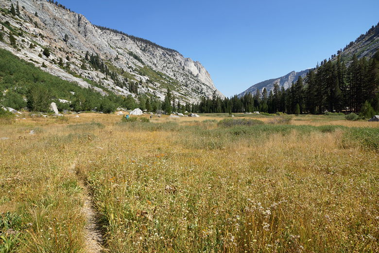
Looking back from Ranger Meadow
Ranger Meadow
Looking back from Ranger Meadow
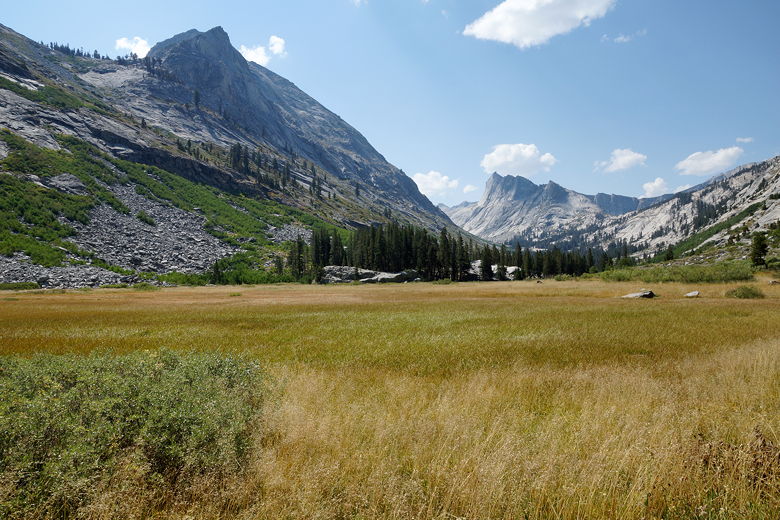
Looking back from Ranger Meadow
Looking back across Ranger Meadow
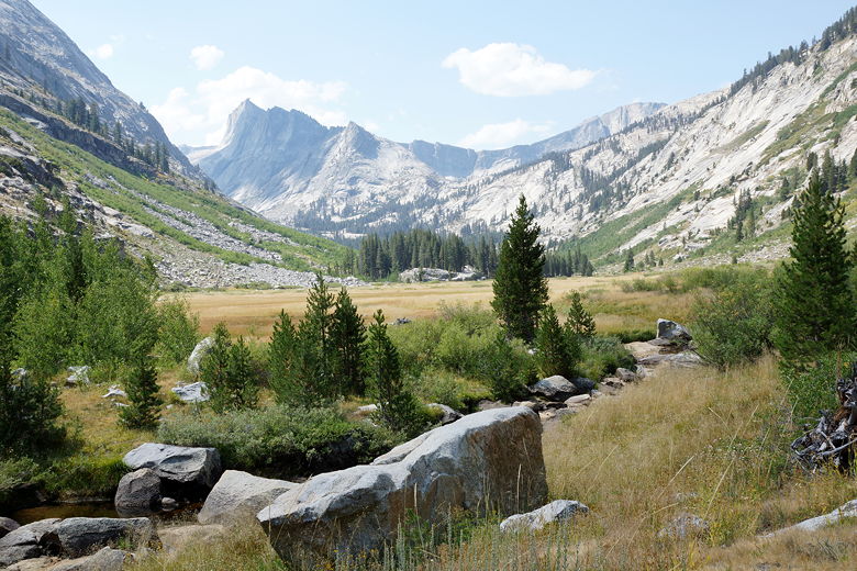
Descending lower Deadman Canyon
Forest in lower Deadman Canyon
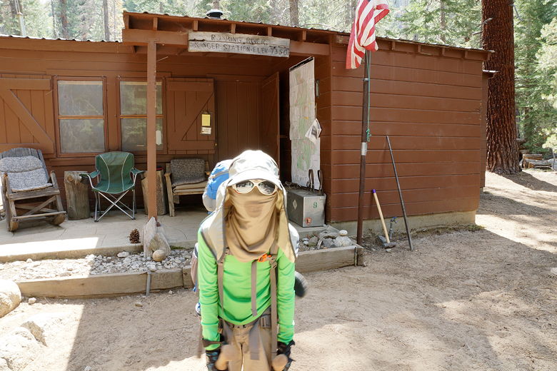
Roaring River ranger station
The trail now follows the river to the west. We thought about stopping at some
point for a break and to filter some water, but we couldn't find a good spot to
break. Eventually the trail heads away from the river and up and over a little hill.
At the bottom of that hill the trail crosses Ferguson Creek, where we stopped
briefly to filter some water.
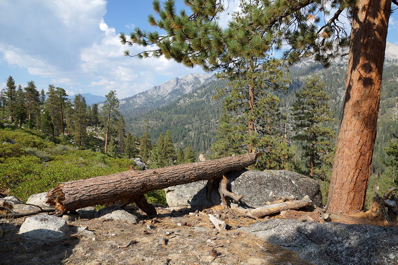
View to the west from the trail before Ferguson Creek
From here it was up and down on very sandy trails the rest of the way.
We soon reached Sugarloaf Creek, where a large group, maybe 15 people were
camping next to each other. The creek itself didn't look like it was flowing much,
but there was some water. We kept going, starting to look for a camp site.
Try as we might, we couldn't find any decent sites. It was getting on toward
7pm and we were about to accept the fact that we'd have to go all the way to Sugarloaf
Meadow. But then we saw a little hill that looked promising. We didn't find
a great spot to camp there, but we did find a decent spot nearby. Finding
water was another issue. I used my ears and followed the sounds of the water,
eventually finding a good water source -- except I had to walk over several
downed trees to get there. Many of those trees had limbs pointing skyward,
threatening to impale me if I made a mis-step. It was not a pleasant experience,
and I had to get water three times (twice tonight, and again tomorrow morning).
But at least we had a decent site and could rest for the night. It goes
without saying that we had the place to ourselves.
| 

