|
Today was getaway day, so to speak, so we got up extra early. We'd be hiking
out and immediately driving home, so we wanted to get an early start.
That said, when the alarm rang at 6am I could hear rain drops on the tent.
So I stayed inside for another 15-20 minutes before poking my head outside
to mostly clear skies.
I went up to the hill above our camp to take some sunrise pictures, then
retreated down to the lake shore to take some pictures of the mountains
reflecting in the water.

Ranger Lake sunrise

Ranger Lake sunrise

Ranger Lake sunrise

Ranger Lake sunrise

Ranger Lake sunrise

Ranger Lake sunrise

Ranger Lake sunrise

Ranger Lake sunrise

Ranger Lake sunrise

Ranger Lake sunrise

Ranger Lake sunrise

Ranger Lake sunrise

Ranger Lake sunrise

Ranger Lake sunrise

Reflections in Ranger Lake

Reflections in Ranger Lake

Reflections in Ranger Lake

Reflections in Ranger Lake

Reflections in Ranger Lake
We left camp around 8:20am, heading slightly downhill away from the lake before the
trail skirts past Beville Lake and then starts climbing through the open forest.
You can't see the pass while you're climbing. We just knew we had about 1250 feet
to climb, or so we thought. As we climbed, we gained some views of Ranger Lake
below and the mountains beyond. But then the trail re-enters the forest and the views
disappear.

Ranger Lake viewed from the climb to Silliman Pass
We stopped for a snack break after about 600-700 feet of climbing. But soon after the
break, we reached the top. I was confused. We were only at about 10,100 feet, and I
expected the top to be 10,479. Apparently I hadn't read the map right. The 10,479
elevation was for a nearby peak, and it was hard to tell that it wasn't the elevation
for Silliman Pass itself (even though the text is right next to each other). Oh well,
that just made our lives easier. On the other hand, this had to be the most anticlimactic
pass we've climbed for other reasons. For one, the view from the top was nonexistent.
Trees go right up to the top on either side of the pass. And once you reach the top
you're headed back down the other side. It's hard not to say the pass was pretty lame.

View from the climb to Silliman Pass

View from the climb to Silliman Pass
In any case, we now headed steeply downhill through the forest, soon glimpsing Twin
Lakes below (or at least the southernmost Twin Lake). Soon enough we reached the bear
box and camp sites between the two lakes. The southernmost lake is nearest the trail.
It would have been a decent place to camp the night before, except campfires were not
allowed here. I also suspected there would have been more people here. We didn't see
many people now, but as we were about to leave the lake we saw a large group, maybe
15 youths gathered. I'm guessing they had camped there the previous night and were
getting ready to leave.

Twin Lake

Twin Lake
We continued downhill, through more sections of damaged forest. We took a break at the
next intersection as clouds started to move in above us. We could hear distant thunder
once or twice, but it never really threatened us today. After a break we had to make a
brief climb up to Cahoon Gap. At this point the forest started getting monotonous.
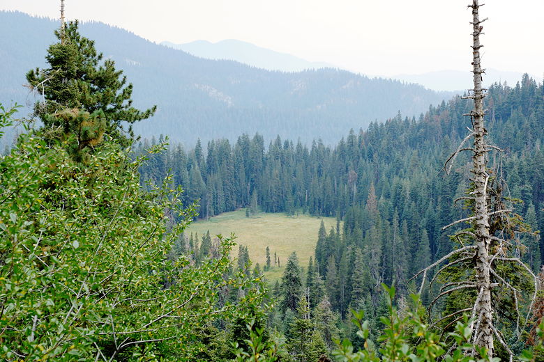
As we descended, the only point of interest was Cahoon Meadow visible below.

Cahoon Gap - nothing to see here

Cahoon Meadow
After more descending we reached Cahoon Meadow, but there were no bears to see here.
After more descent through some monotonous forest, we reached the Lodgepole Campground.
We had two options now - we could either hike about 2 more miles to our car at
Wolverton, or we could take the shuttle. We reached the shuttle stop near the campground
at about 2:50pm and decided to just wait. We were done. We had to take two shuttles
(one to General Sherman, then a second, smaller shuttle to Wolverton). We arrived at
Wolverton around 3:20pm.
Elated to be done with our 9-day adventure, we cleaned up, drove back to Lodgepole for
some snacks, then headed home. With a break for dinner, we were back home by 10pm.
| 


