|
The sun aimed right for our tent in the morning, and it got warm
quickly. Unfortunately I had to go get water again from the
death trap/obstacle course, so we were a bit delayed in getting
started. We finally left camp around 9:45am.
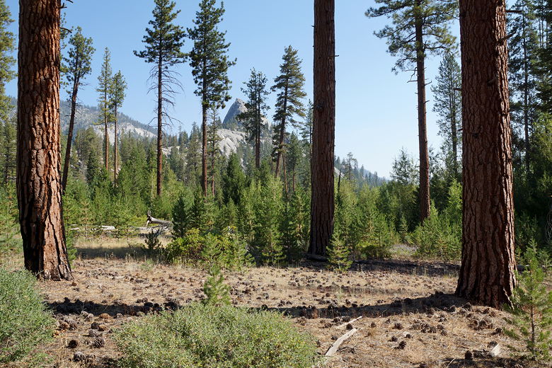
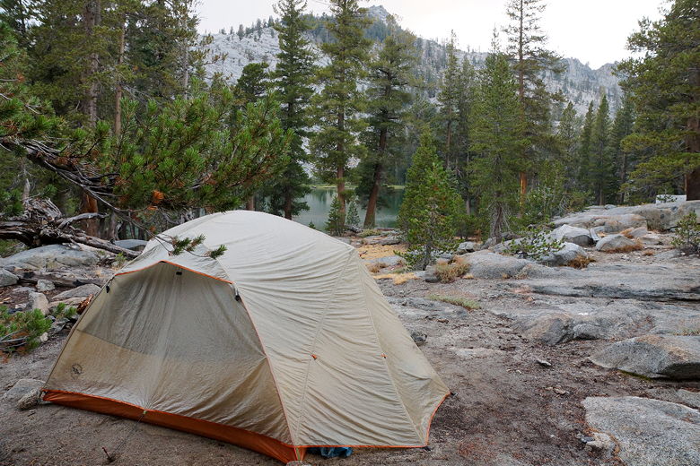
Forest near our campground near Sugarloaf Meadow
Back on the trail, we quickly came to a sign for the Sugarloaf
Meadow bear box off to the right. Had we known how close we
were to it, perhaps we would have camped there last night.
On the other hand, there's no way of knowing if the camp sites
had a decent water source. Considering how low the creek was,
that wasn't a guarantee.
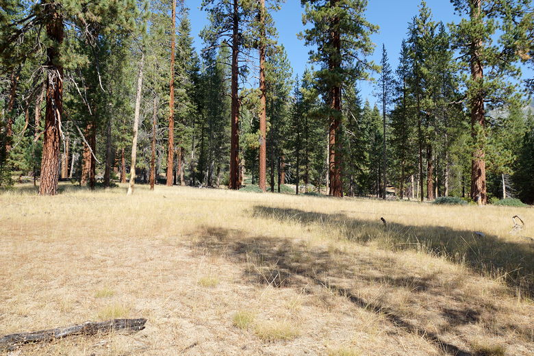
Sugarloaf Meadow
In any case, we didn't dwell on it. We kept going on the trail,
which starts to climb yet again. Today would be mostly
climbing, though it wouldn't be long. Still, the climbing here
was steep at times and it was another hot day. We passed
three hikers coming the opposite direction before we reached
Commanche Meadow. It's a small meadow with a bear box and obvious
camp sites next to the trail. Again, I'm not sure how the water supply
is here late in the season.
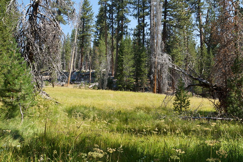
Comanche Meadow
We went a little past the meadow to an intersection and took a snack
break here. The signs said we were only 5 miles from Ranger Lake,
though the map I had indicated nearly 6 miles remained. I suspect
either a mistake on the map or the trail was re-routed after the map
was made.
After the break, we continued climbing more gradually for the next 2 miles.
The trail passes a lot of dead trees here - some due to forest fire, some
perhaps to disease. But there are also dense stands of young trees,
looking as though they were planted close together maybe 10-20 years ago.
These new trees were too short to provide us any shade, unfortunately.
We took another break at the next intersection, with 3 miles to go.
A spur trail from here goes to Seville Lake, but we continued on the
trail toward Ranger Lake and Silliman Pass. Almost immediately we
crossed a small stream with small fish in them. While we were looking at the
fish, it grew decidedly darker, as if someone had turned out the lights.
Clouds had moved in, and we soon started hearing distant thunder.
It was still dry where we were, though.
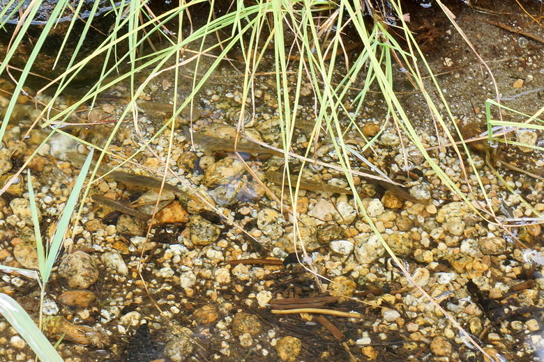
Fish in a stream crossing
I like having a GPS with me for navigation, but maybe sometimes too
much information is a bad thing. While looking at the GPS, I saw
that we should have reached the trail intersection for Lost Lake,
but we passed it. The map showed the same information. I thought maybe
it was off a little so we kept going a little further. Still no
trail intersection. I started to get a little worried. Had we somehow
missed the intersection? Were we now headed up (erroneously) to
Lost Lake? We went a little further before we sat down for a break and
to decide what to do.
I put my pack down. While the others rested and snacked, I headed
further up the trail to see if the trail had been re-routed and
the intersection was up ahead. I saw a meadow across which I knew the trail
would not go, so I turned around. Then I back-tracked several minutes on the
trail we'd just hiked, looking in vain for the missing intersection. No luck.
Eventually I returned to where the others were resting. We decided we would
just keep going. If we were on the wrong trail, we'd just eventually
go cross-country from Lost Lake to Ranger Lake. It didn't look too
difficult from the map.
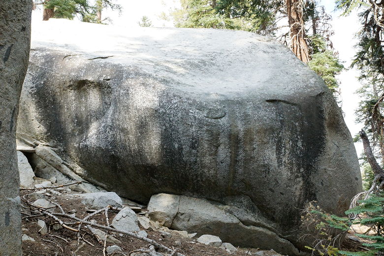
I thought this rock looked like Paddington Bear
So, off we went on the trail, passing the meadow. Several minutes later, we reached
the trail intersection. Apparently the trail had been re-routed (or the maps were
always wrong), and I just hadn't gone far enough to see it. After the trip I got an
updated paper map which more closely aligns with reality here. We'd lost about 20
minutes here with our confusion, but were otherwise none the worse for wear.
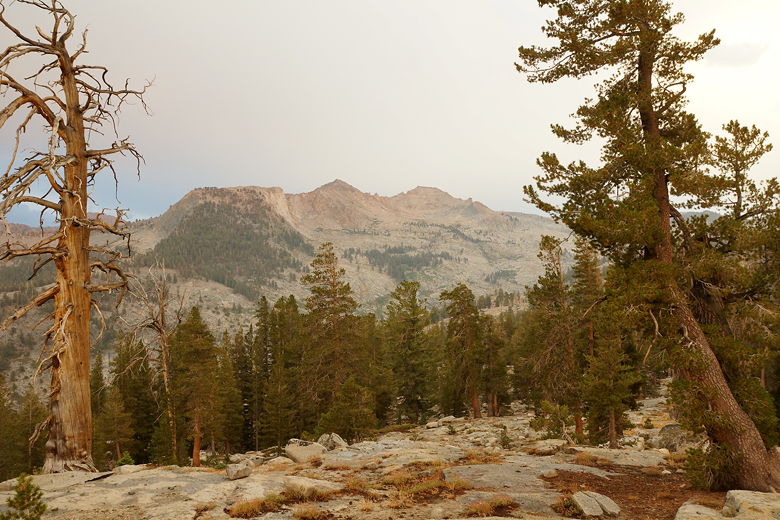
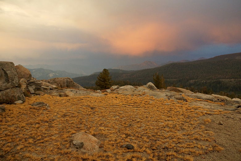
On the other hand, the clouds were growing more threatening. Again we could hear
the distant thunder. The views from the trail started to open up, but we just
wanted to get safely to camp now. We made it to the lake at 4pm. There are two
bear boxes, a few fire pits, and several nice campsites at the lake. We went up the hill
and found a nice site with a view of the lake, in close proximity to a bear box and
fire pit. We set up our tent just in time.
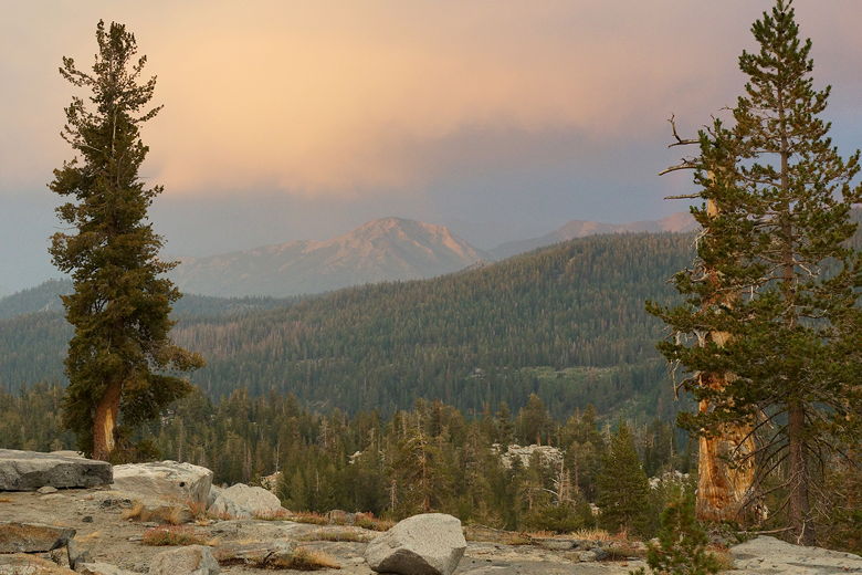
Approaching storm
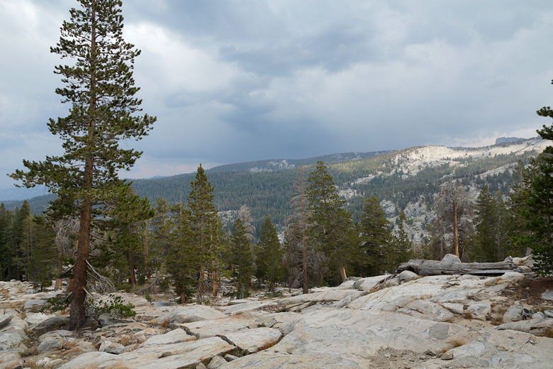
View from the climb to Ranger Lake
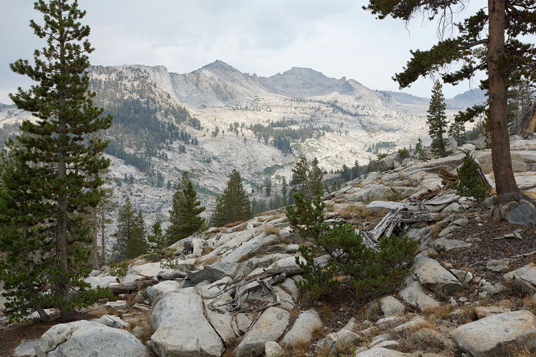
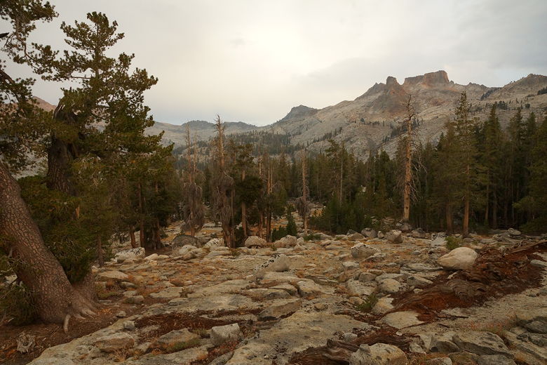
Ranger Lake
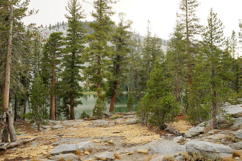
Campsite at Ranger Lake
Around 5pm, the rain started. Then the distant thunder didn't sound so distant.
Nathan was inside the tent while the rest of us waited out the storm outside. It
wasn't raining hard, but we could see the lightning and count out... 1, 2...usually about
10-12 seconds before hearing the booming thunder. Which means it was about 2 - 2.5
miles away. Thankfully, it never seemed to get any closer.
While we were counting out seconds, we saw two hikers descending from Silliman Pass.
Eventually we saw them at Ranger Lake. They eventually camped on the other side of
the bear box from us. The 6 of us were the only ones at the lake that night.
Soon after they arrived, the rain and the thunder/lightning stopped. It was about
6:30pm and time to start a campfire to warm up. I was going to say this was the
first time we've made a backcountry campfire with our kids, but actually it was the
second, if you count the time we had one with some people we met on the first
Sierra backpacking trip we did with the kids (in the Carson-Iceberg Wilderness). They're
too young to remember it, though,
so this was basically the first and they really enjoyed it.
First, though, I had to start the fire. I tore a few pages out of my notebook to
serve as a fire starter, but that didn't work. Then I took a few sheets of unused toilet
paper, put it underneath the small twigs, lit a match and whoosh! The fire started easily.
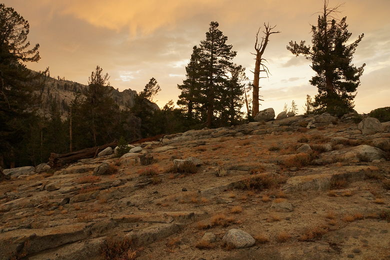
While we were enjoying the fire, I noticed the sun was starting to set and it was
shaping up to be a nice sunset. There's a hill to the northeast of the lake which
provides fantastic views of the surrounding area. I scrambled up the hill as fast I
could, taking my camera with me.
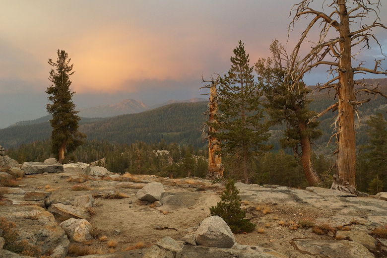
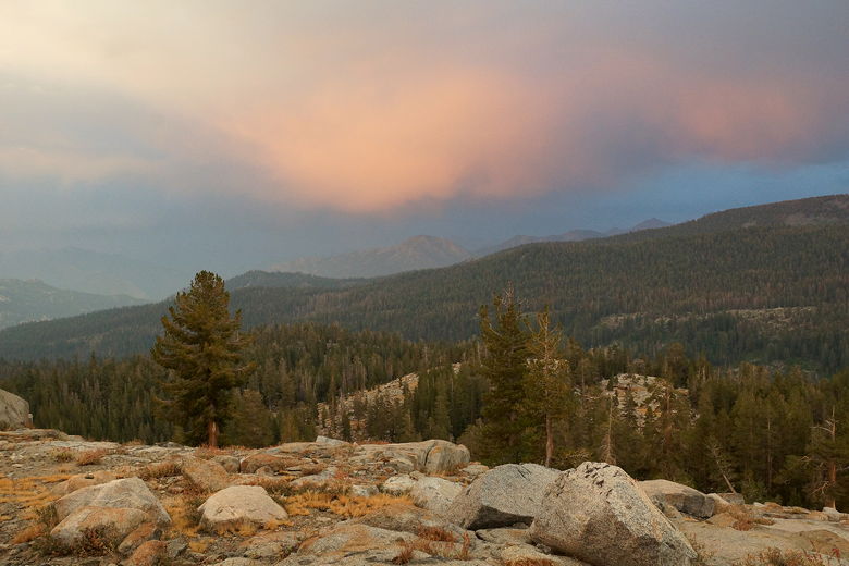
Clearing storm at sunset from hill above Ranger Lake
Ranger Lake sunset
Ranger Lake sunset
Ranger Lake sunset
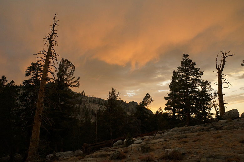
Ranger Lake sunset
Ranger Lake sunset
Ranger Lake sunset
Ranger Lake sunset
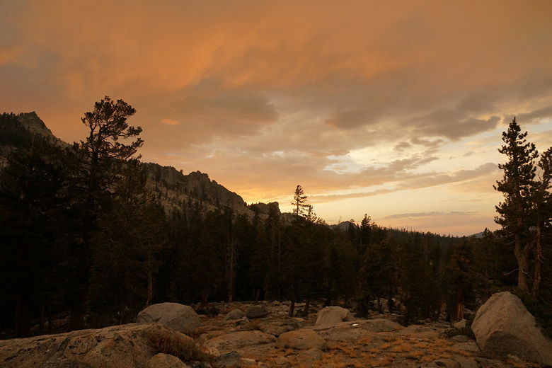
Ranger Lake sunset
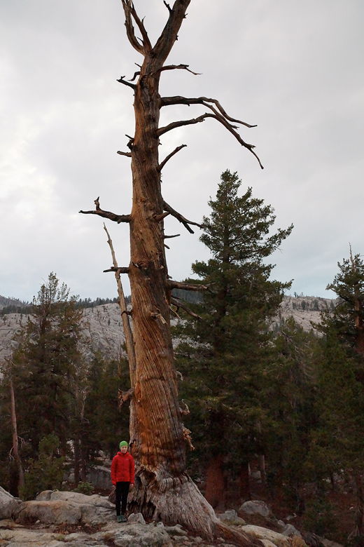
Tree snag on hill above Ranger Lake
It's hard to say which campsite was our favorite during this trip, but Ranger Lake
has to be in the top 3 (along with Hamilton Lake and upper Deadman Canyon). While
we couldn't really see the lake well from our camp, the setting is great and the
nearby hill provides great views. I would be sure to visit the hill in the morning to take
some sunrise pictures.
| 

