|
We got up early and made it to the bus stop at 8:30am for our tour. We found a mass of people waiting there, as it’s a popular
pick-up point for many tour companies. It wasn’t until this morning that we noticed a small inconspicuous “10” sign next to the buildings, just
around the corner from the bus terminal we'd seen yesterday. Normally we’re used to seeing bus stop signs by the curb, but this one was next to the buildings, which is why we’d missed it before.
Around 8:45am, our bus arrived for our tour of the Snaefellsnes Peninsula. It was a medium bus, fitting up to 20 people including the driver. It was mostly full. The driver started narrating our drive out of Reykjavik, which he told us meant “smoky bay”. Not smoky because of all the smokers (though there are a lot of people smoking outside), but for the geothermal smoke.
He also explained that Iceland was settled by the Vikings from Norway and Sweden, though many took wives from Ireland.
As for the lack of trees - he said the Vikings only took about 50 years to remove all the trees (for farming, fuel, etc.). He had a host of other interesting information to keep us entertained.
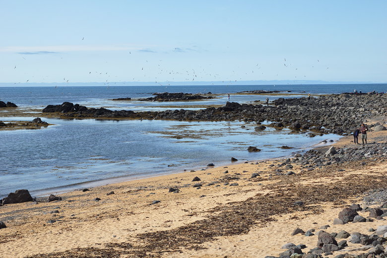
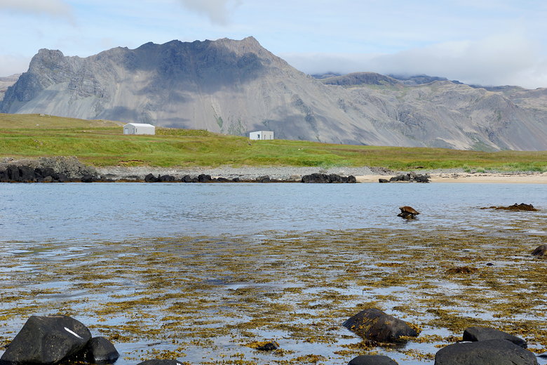
Ytri Tunga beach
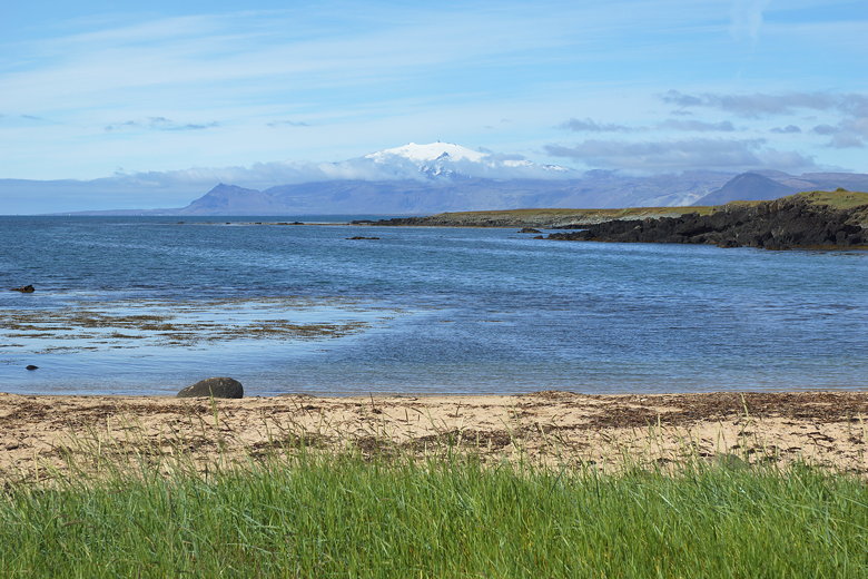
Snæfellsjökull as seen from Ytri Tunga
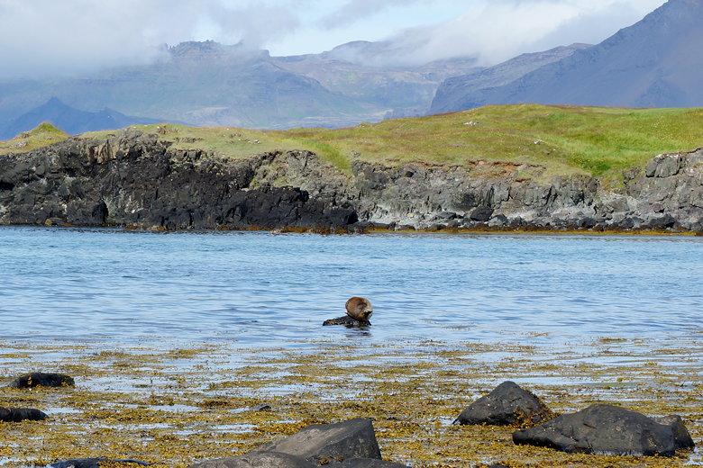
Seal at Ytri Tunga beach
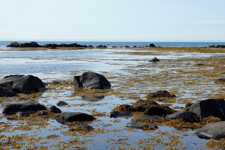
Ytri Tunga beach
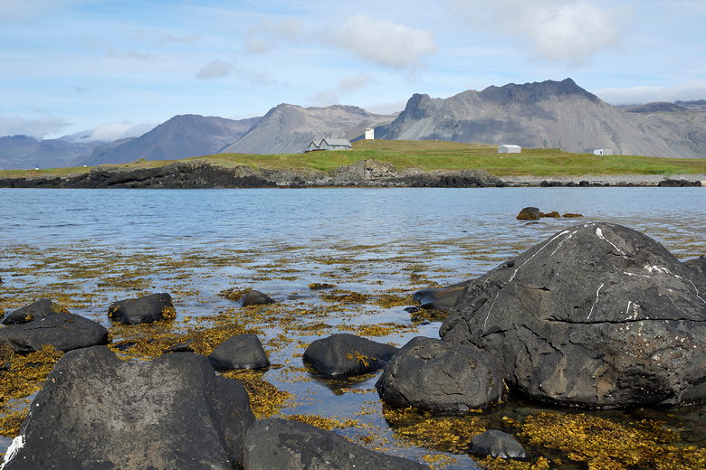
Mountains over Ytri Tunga beach
Ytri Tunga beach
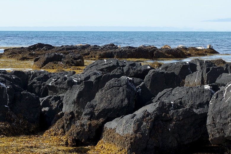
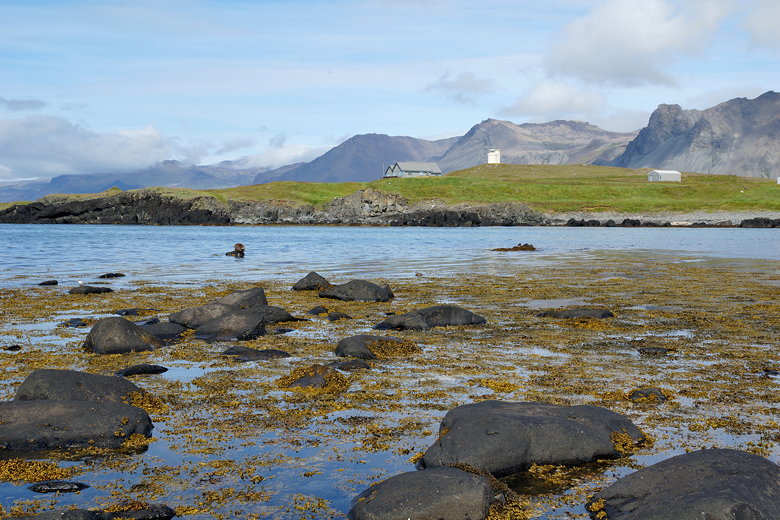
Seals at Ytri Tunga beach
Ytri Tunga beach
We stopped at many places along the way on this tour - most would say too many. Often we would stop, then drive 5 minutes and stop again.
Many of them were worth stopping for. There were several waterfalls, the most memorable of which was the one at the end.
There was a stop for harbor seals.
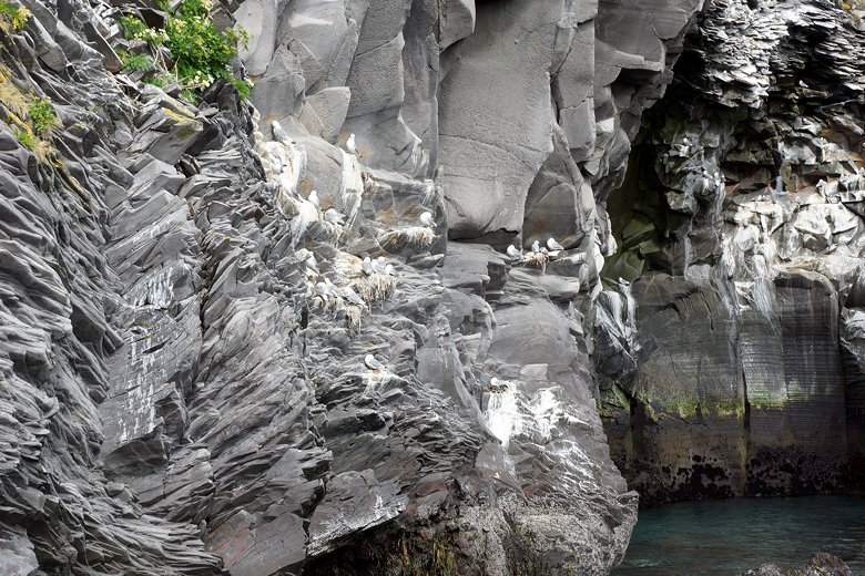
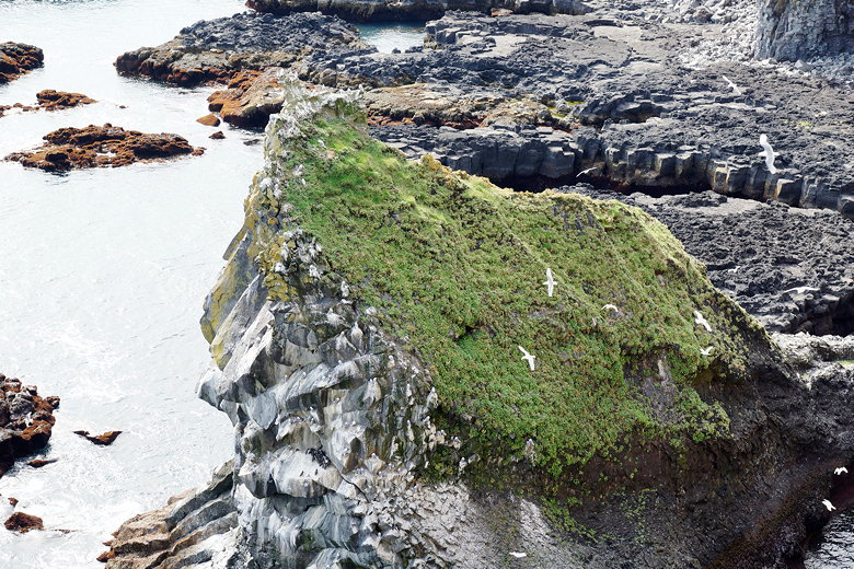
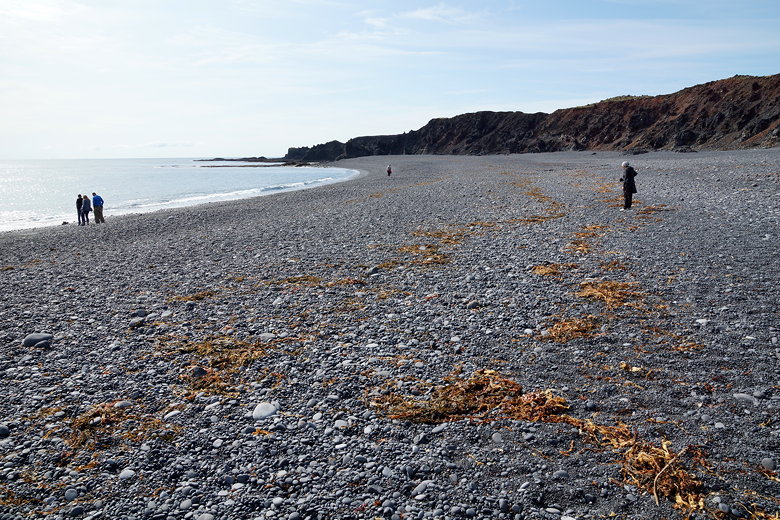
There were stops to look at views of the ocean and thousands of sea gulls. There was a stop at a black sand beach.
On many of these stops, we got out and walked for 15-30 minutes.
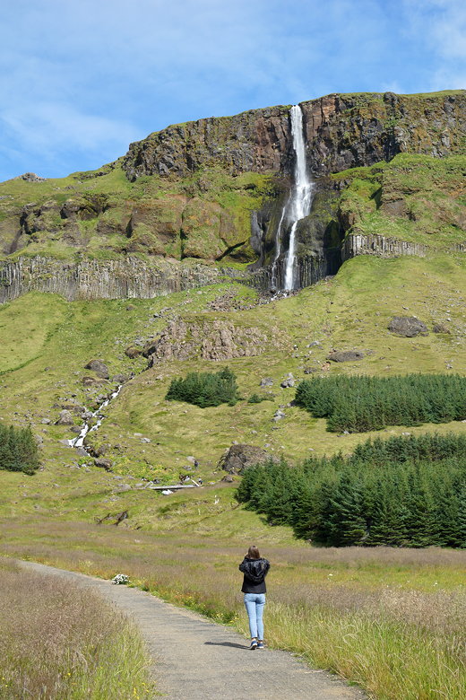
Snaefellsnes Peninsula waterfall
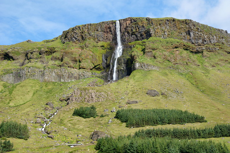
Snaefellsnes Peninsula waterfall

Snaefellsnes Peninsula
We stopped for lunch at a food truck near the ocean. Most people had fish and chips, though they also served hamburgers and fish burgers.
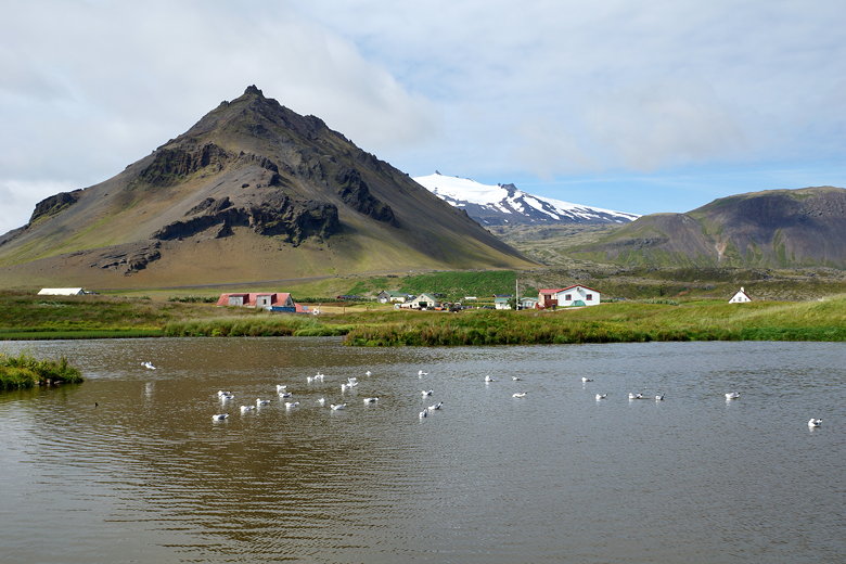
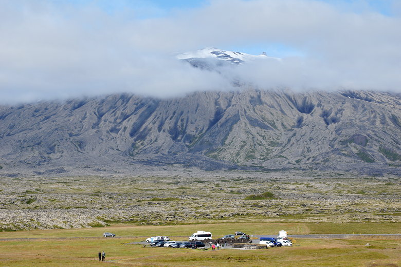
After lunch we got better views of Snaefellsjokull, a glacier-topped mountain that’s the focal point of the peninsula and about a 2 - 2 ½ hour drive from Reykjavik.
Our guide also said the glacier would melt within the next 20 years (or was it 50?).
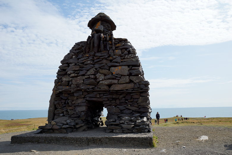
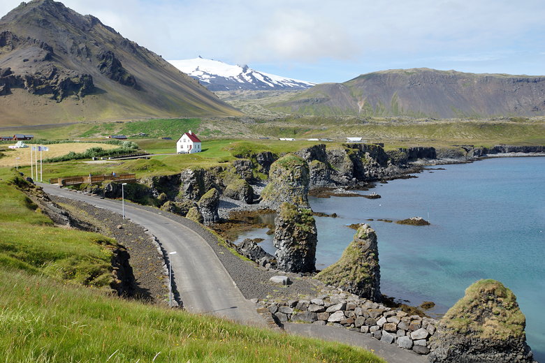
Bardur Snaefellsas statue in Arnarstapi
Shore near Arnarstapi
Shore near Arnarstapi
Shore near Arnarstapi
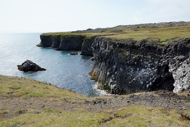
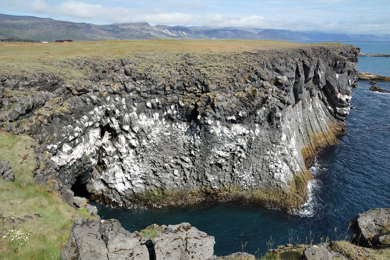
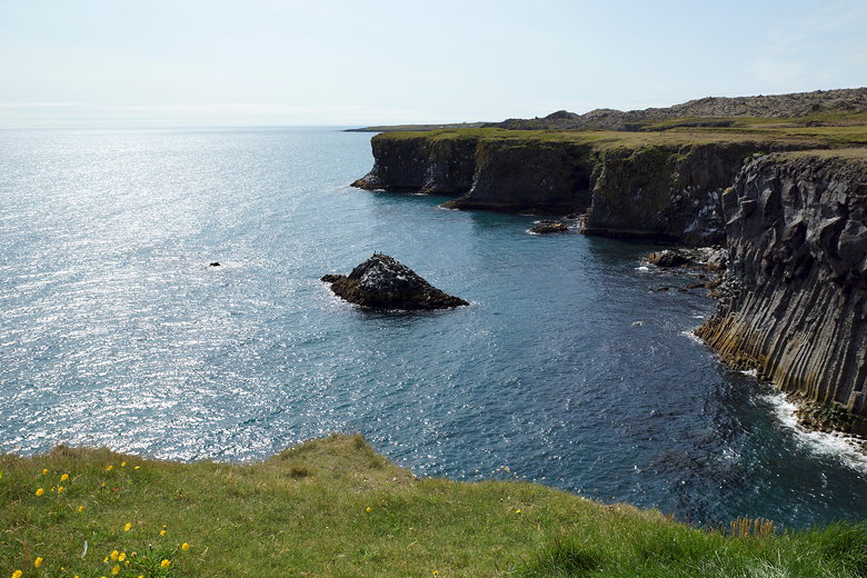
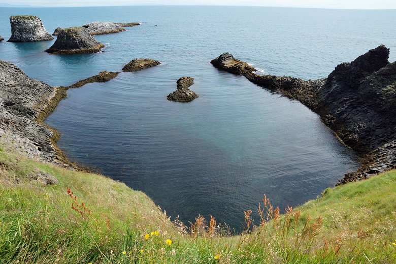
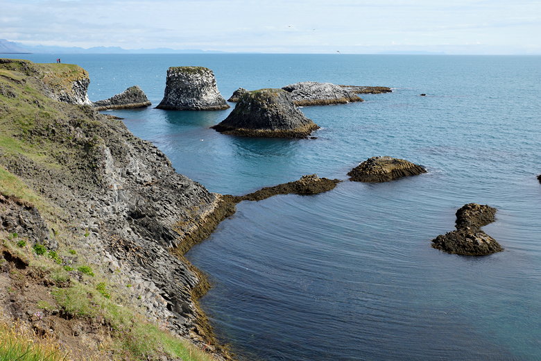
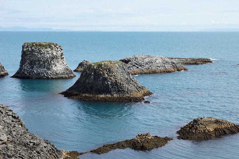
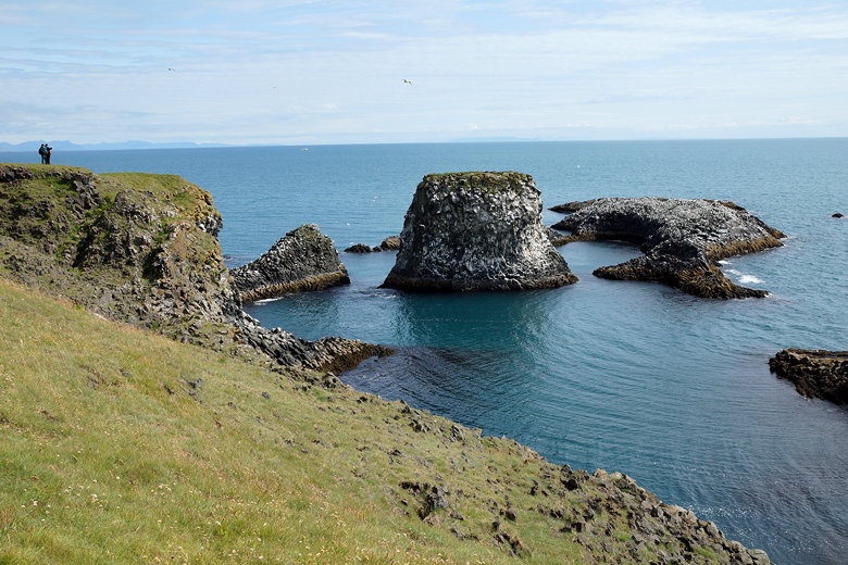
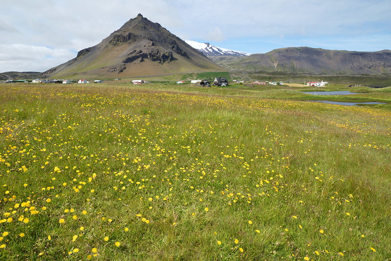
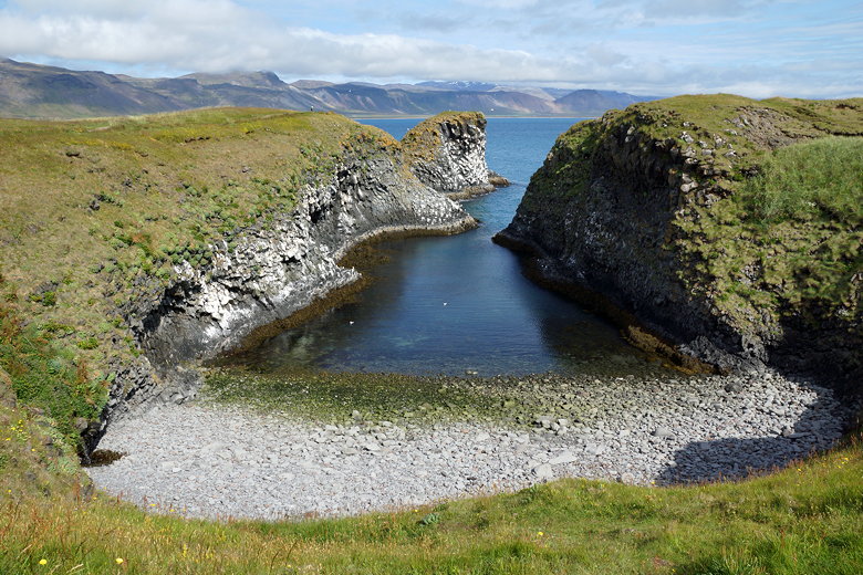
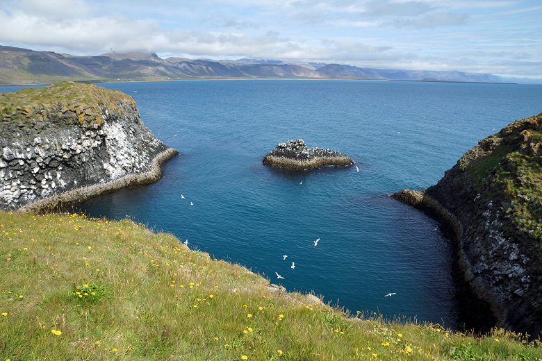
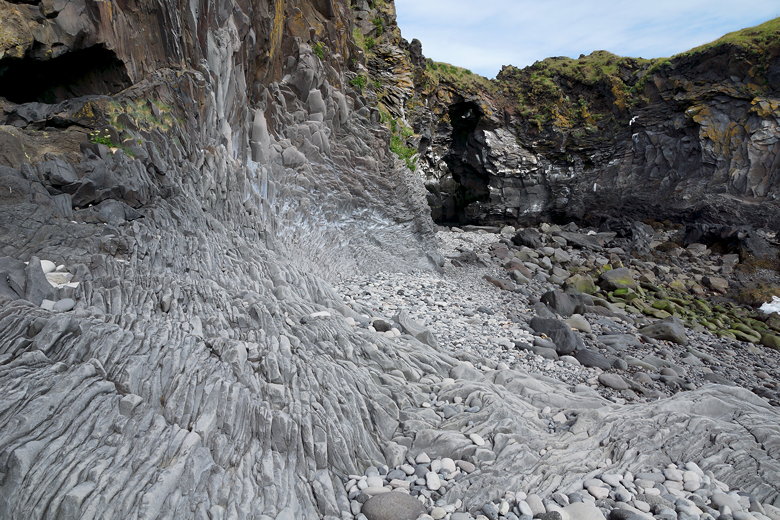
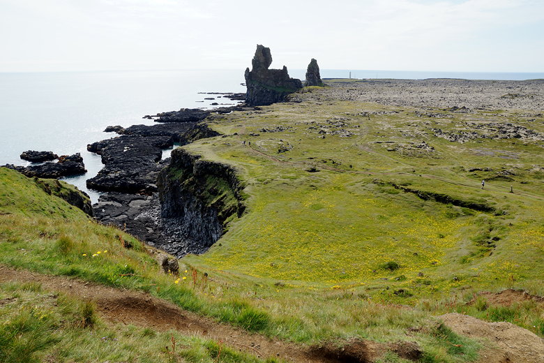
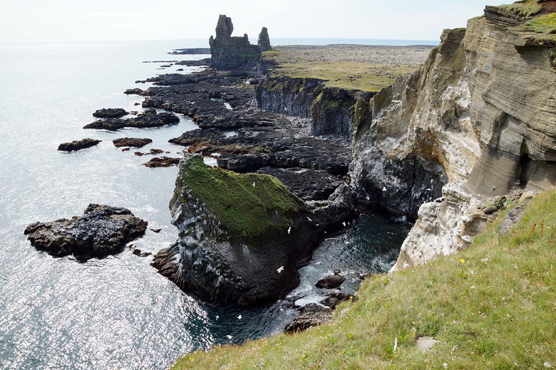
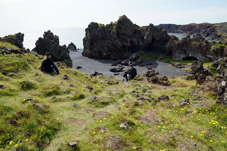
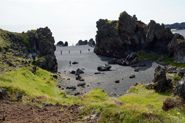
After lunch we visited the coast near the fishing villages of Arnarstapi and Hellnar.
There's some beautiful coastline here, with dramatic landscapes, coves, and
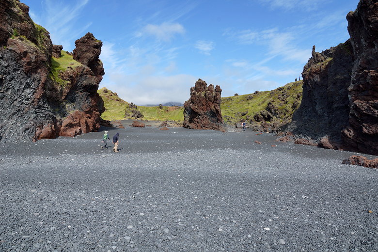
thousands of sea gulls. Another stop was the Djúpalónssandur black sand beach.
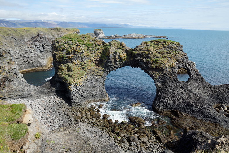
Gatklettur
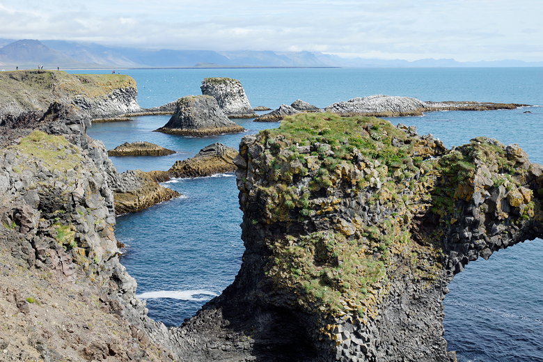
Rock formations off the coast
Cove near Arnarstapi
Shore near Arnarstapi
Shore near Arnarstapi
Shore near Arnarstapi
Hellnar fishing village
Cove near Hellnar
Hellnar
Cove near Hellnar
Hellnar
Rock formations
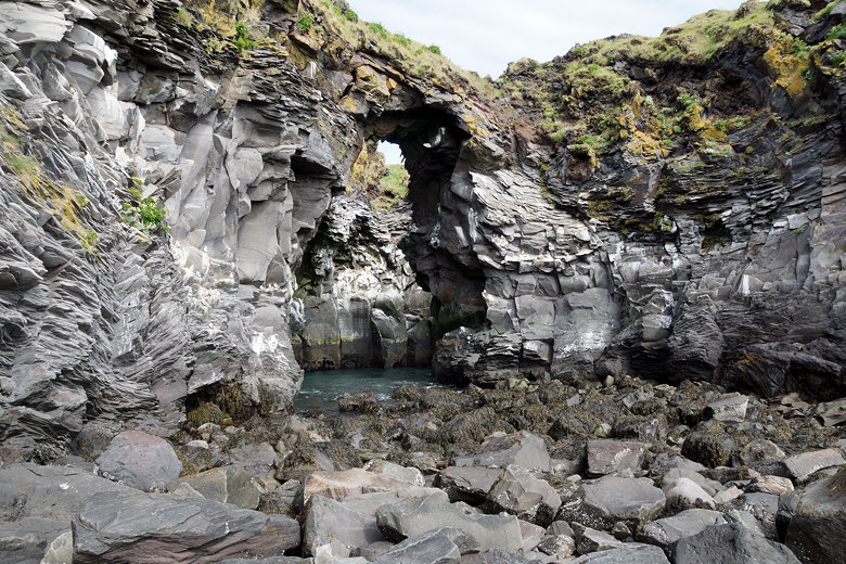
Rock formations
Rock formations
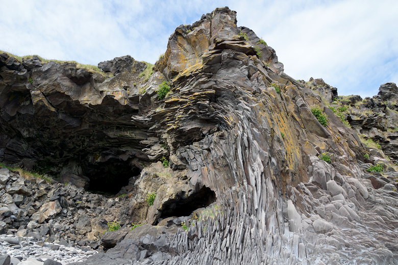
Rock formations
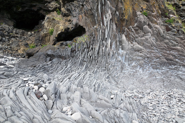
Rock formations
Coast
Snæfellsjökull through the clouds
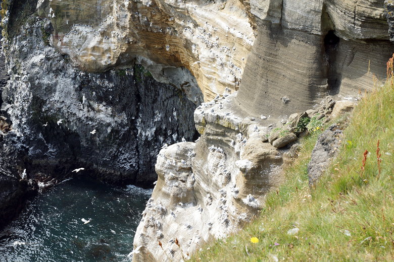
Birds on the coast
Birds on the coast
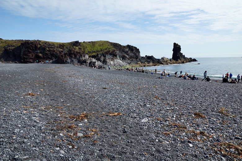
Djúpalónssandur beach
Djúpalónssandur beach
Djúpalónssandur beach
Djúpalónssandur beach
Djúpalónssandur beach
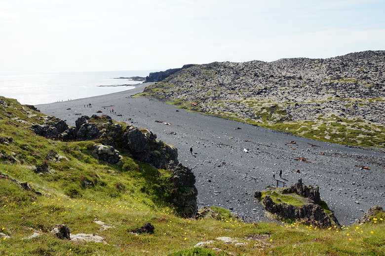
Djúpalónssandur beach
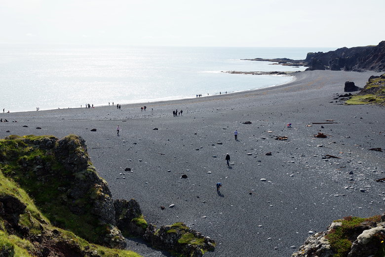
Djúpalónssandur beach
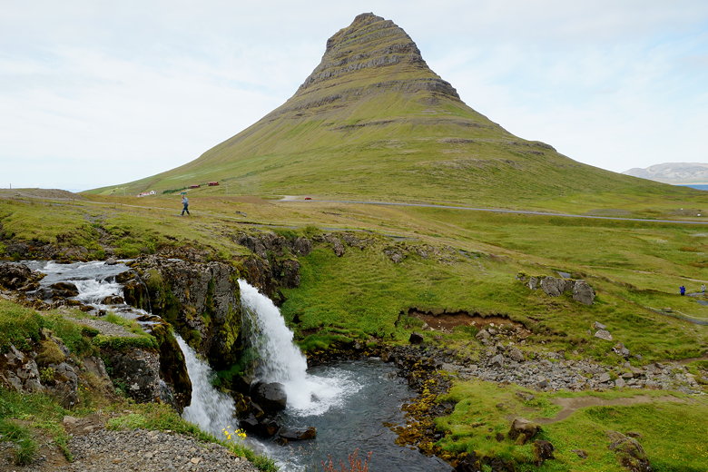
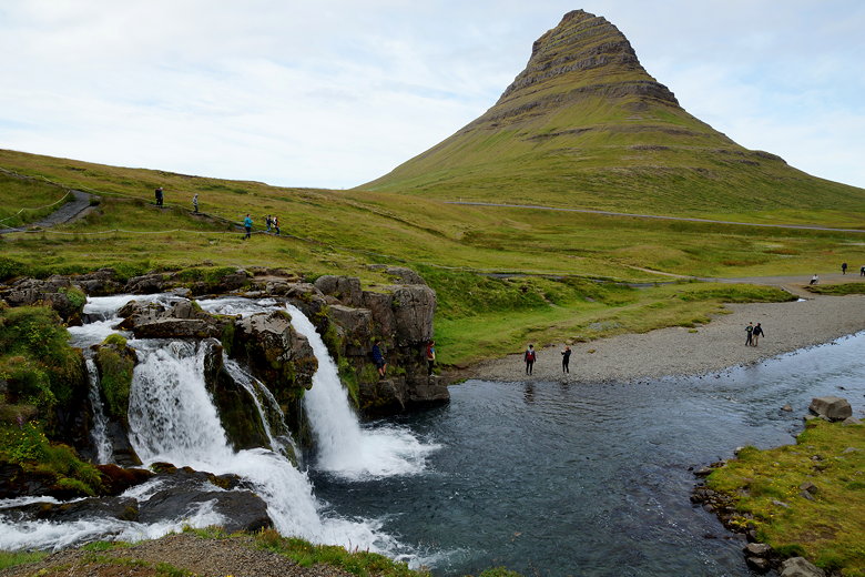
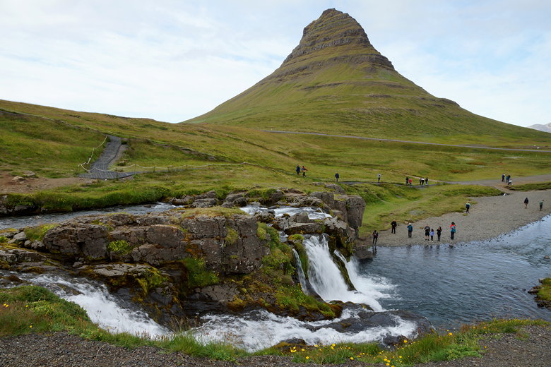
After a long day, we finally left the last waterfall (Kirkjufellsfoss) after 6pm, arriving back in Reykjavik at 8:30pm.
After dropping off our stuff at our rental house, we went out and had dinner. Then started prepping for the next day.
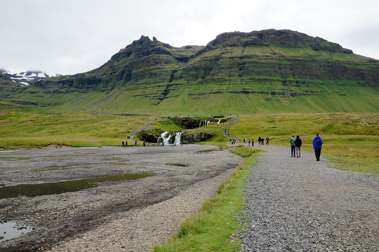
Kirkjufellsfoss
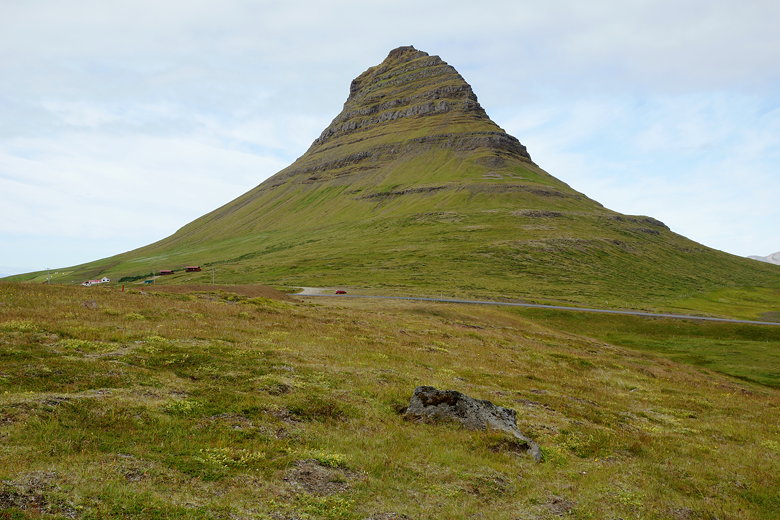
Mt. Kirkjufell
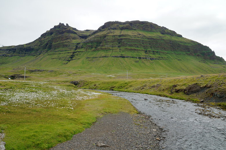
Mountains above Kirkjufellsfoss
Kirkjufellsfoss and Mt. Kirkjufell
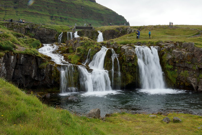
Kirkjufellsfoss
Kirkjufellsfoss and Mt. Kirkjufell

Kirkjufellsfoss and Mt. Kirkjufell
Kirkjufellsfoss and Mt. Kirkjufell
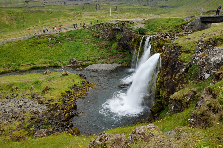
Kirkjufellsfoss
| 

